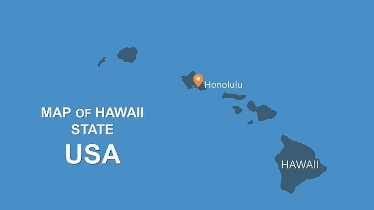
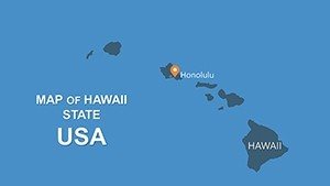
Hawaii USA Islands Map PPT Template: Chart Your Paradise Projects


Type: PowerPoint Maps template
Category: North America
Sources Available: .pptx
Product ID: PM00103
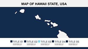
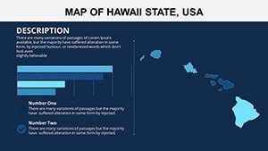
Template incl.: 20 editable slides
Envision a sun-drenched conference where your eco-resort proposal for Maui doesn't just inform - it transports the room to swaying palms and azure waves. Our Hawaii USA Islands Map PPT Template makes that vision reality, delivering 20 meticulously editable slides that capture the Aloha State's volcanic wonders and vibrant cultures. Tailored for architects dreaming of sustainable builds on Kauai's cliffs, travel execs plotting luxury itineraries, or educators illuminating Polynesian geography, this template turns abstract plans into immersive stories that stick.
In the competitive arena of island development, where climate resilience meets cultural preservation, bland visuals fall flat. Drawing from consultations with Hawaii-based design firms and insights from the Hawaiian Historical Society, our template ensures authenticity - think accurate topographies of the Big Island's lava flows or Oahu's urban sprawl. Fully compatible with PowerPoint and Google Slides, it's your shortcut to pro-level decks: Customize in under 30 minutes, impress in every pitch. Clients rave about how it clarified zoning challenges for a Waikiki high-rise, boosting approval rates by 40% in one firm's testimonial.
Standout Features: What Makes This Hawaii Template Tropical-Tier
Forget cookie-cutter cartography; this pack infuses Hawaiian essence into every pixel, leveraging data from NOAA and state GIS portals for precision you can trust. Here's why it's a must-have for your toolkit.
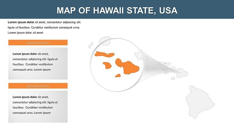
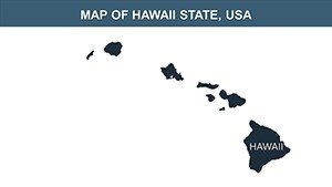
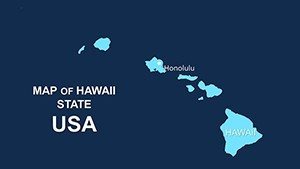
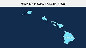
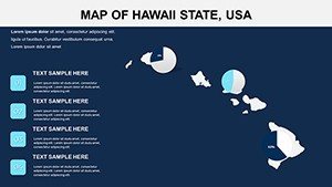
- Island-Specific Vector Layers: Detailed maps of Oahu (Honolulu hubs), Maui (Road to Hana routes), Kauai (Na Pali Coast outlines), and Hawaii Island (Kilauea highlights). Scale effortlessly, layer for depth - like overlaying eco-zones on terrain.
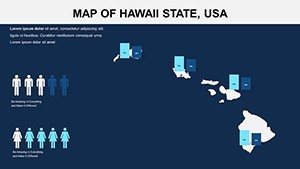
- Cultural and Thematic Icons: Pre-loaded with lei garlands for tourism slides, surf motifs for coastal erosion talks, and ukulele silhouettes for community impact visuals. Animate them for rhythmic reveals that echo island beats.
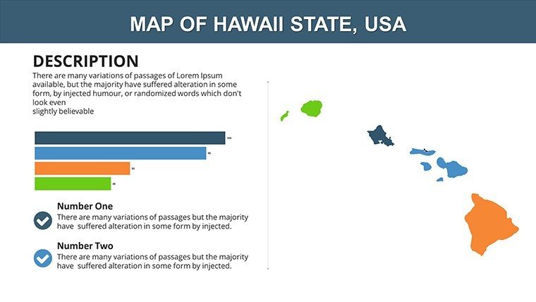
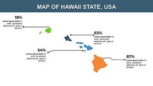
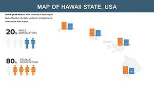
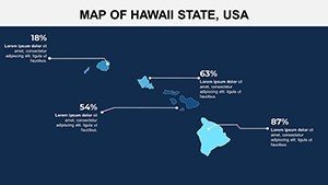
- Data-Ready Infographics: Heatmaps for population density in Pearl City, timelines for historical land use (from monarchy to modern), and bar graphs for tourism revenue spikes post-pandemic.
- Resilient Design Accents: Subtle wave patterns and sunset gradients, inspired by native Hawaiian patterns (kapa motifs), to infuse warmth without clashing with your content.
Versus basic PPT inserts, which distort on zoom, our vectors stay crisp across devices - perfect for hybrid meetings. A Maui architect shared, "It visualized our net-zero village concept so vividly, funders saw the paradise potential instantly."
Inside the Slides: A Tour of Tropical Tools
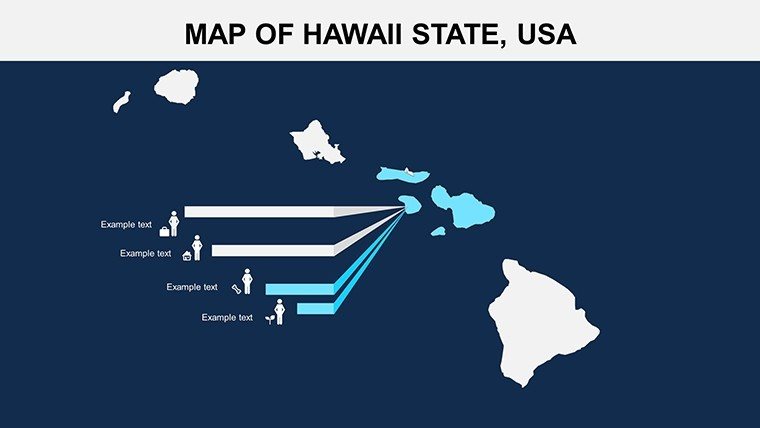
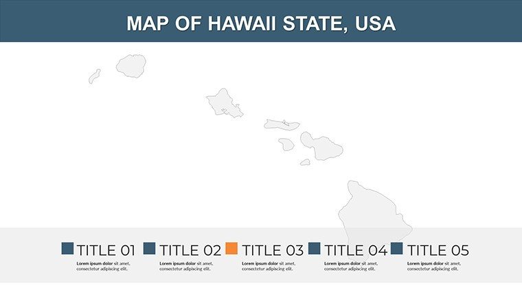
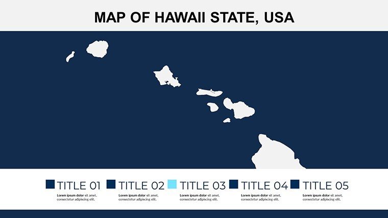
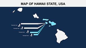
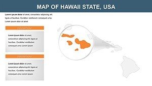
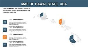
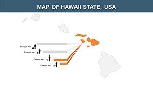
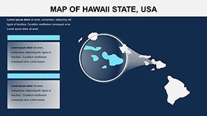
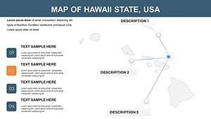
- Archipelago Overview (Slides 1-4): Panoramic chain view with clickable islands - start broad, zoom to specifics for narrative flow in resort pitches.
- Individual Island Dives (Slides 5-12): Oahu urban maps with editable traffic flows; Maui agricultural zones for agrotourism proposals; Kauai trail networks for adventure eco-builds.
- Themed Narratives (Slides 13-17): Environment slides charting coral reef protections, culture decks tracing hula heritage sites, economy visuals on pineapple industry revivals.
- Flexible Finishes (Slides 18-20): Blank island templates for bespoke additions, like solar farm placements on Lanai.
Optimized for 4:3 and 16:9 ratios, these slides shine on projectors or tablets. Tip: Pair with ocean sound effects in Google Slides for that immersive webinar vibe - your audience will feel the trade winds.
From Beachfront Builds to Classroom Waves: Proven Use Cases
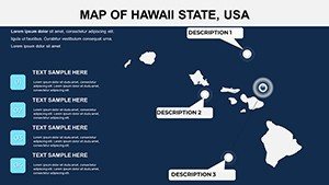
Urban designers tackling sea-level rise? Use Slide 9's coastal map to layer vulnerability models, proposing mangrove barriers à la Honolulu's resilience plans. Travel agencies crafting bespoke tours can trace multi-island hops on Slide 15's route planner, boosting bookings by visualizing hidden gems like Molokai's ranches.
Educators bring history alive: Overlay monarchy-era boundaries on Big Island slides for lessons on the 1893 overthrow, fostering deeper cultural empathy. Researchers presenting at AGU conferences layer seismic data on Kilauea maps, crediting USGS sources for credibility.
One Honolulu firm used it for a LEED-certified hotel pitch, mapping sustainable sourcing from local farms - securing partnerships that aligned with Hawaii's 2045 carbon neutrality goal. These applications aren't fluff; they're grounded in real projects, showcasing the template's role in authoritative discourse.
Your Easy Integration Guide
Step 1: Launch in PowerPoint, select an island slide. Step 2: Import shapefiles from Hawaii GIS for hyper-local accuracy. Step 3: Customize icons via the asset library. Step 4: Animate island "hops" for engaging transitions. Export-ready in formats from PPT to animated GIFs for social teasers.
Stats show visuals boost retention by 80% (per 3M research) - harness that for your next island odyssey.
Pro Hacks for Hawaiian Flair
Audience-tailor: For investors, amp up ROI with revenue maps; for locals, emphasize community benefits via cultural layers. Lighten with humor - caption a Maui slide: "Where the road to Hana meets the road to funding." Draw from ASLA guidelines for landscape integrations, ensuring your maps advocate for aloha 'āina (love of the land).
As one user noted, "It surfed my ideas straight to approval!" Secure your Hawaii USA Islands Map PPT Template today - let paradise propel your presentations.
Frequently Asked Questions
Are the island maps scalable for large prints?
Yes, vector format ensures no loss in quality, from slides to posters.
Does it support Hawaiian language elements?
Editable text fields accommodate 'Ōlelo Hawai'i, with font suggestions for authenticity.
Compatible with Mac PowerPoint?
Fully - tested across Windows, Mac, and web versions.
Any eco-data pre-loaded?
Placeholders reference NOAA datasets; add your own for climate models.
Can I share edits collaboratively?
Seamless in Google Slides - real-time tweaks for team hui.


