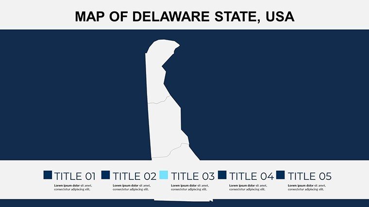
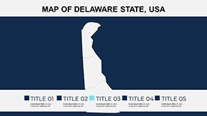
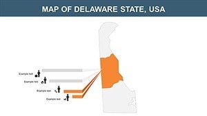
Delaware Counties PowerPoint Template: Precision Mapping Unleashed


Type: PowerPoint Maps template
Category: North America
Sources Available: .pptx
Product ID: PM00100
Template incl.: 18 editable slides
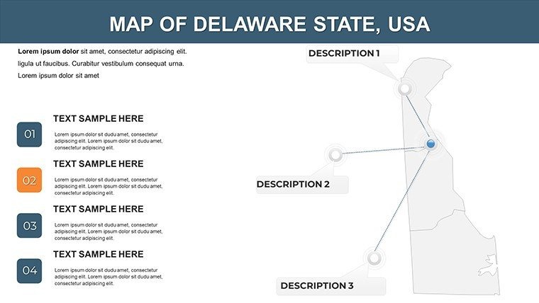
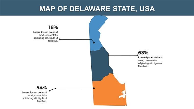
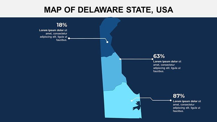
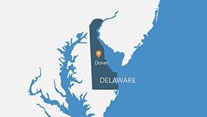
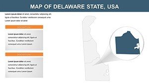
Picture unveiling market potentials in Sussex County's beaches or historical significance in Kent - all through sleek, editable maps that make your point unforgettable. Our Delaware Counties PowerPoint Maps template delivers exactly that, with fully customizable slides focused on the First State's three counties: New Castle, Kent, and Sussex. Tailored for business leaders charting expansion, teachers exploring American history, and scientists presenting coastal erosion studies, this tool turns geographic data into persuasive visuals. Whether you're addressing the Delaware Economic Development Office or a classroom full of eager learners, these maps provide the clarity needed to drive home your message.
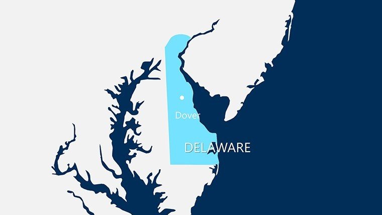
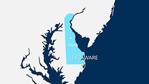
Built for efficiency, the template supports PowerPoint, Google Slides, and Keynote, featuring vector graphics that scale flawlessly for any display. Customize to spotlight Wilmington's urban vibe in New Castle County or Dover's capital role in Kent, integrating stats from the Delaware Population Consortium. A logistics firm, for instance, used it to optimize routes across Sussex, reducing costs by 15% as per industry benchmarks from the Delaware Department of Transportation.
Essential Features for Professional Impact
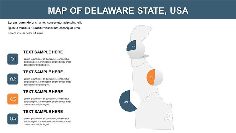
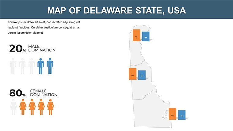
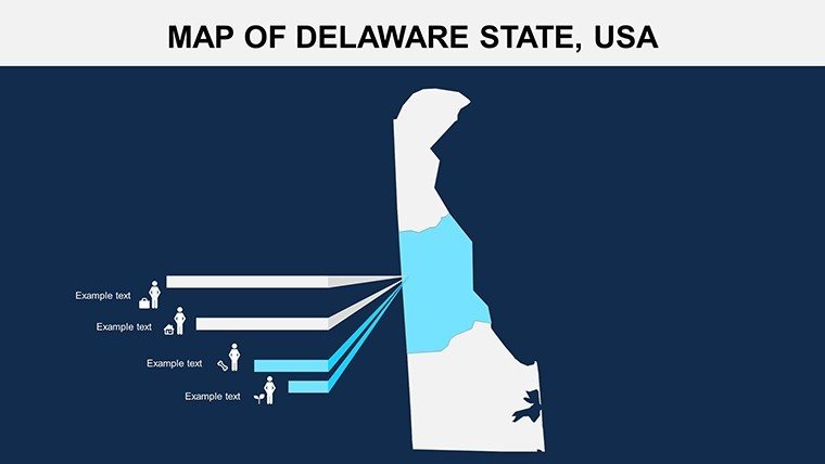
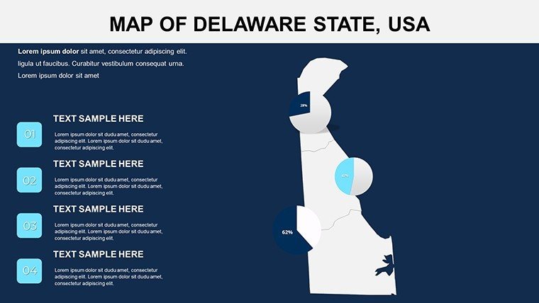
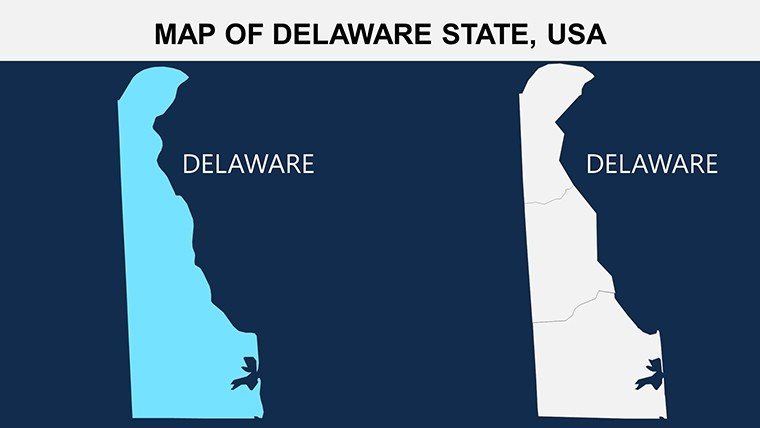
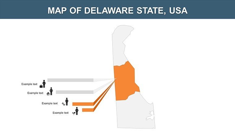
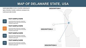
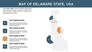
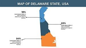
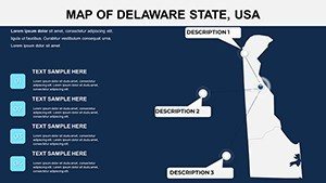
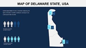
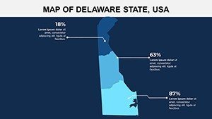
This template's core is its adaptability. High-resolution maps allow color tweaks to denote economic zones - blues for New Castle's ports, greens for Kent's farmlands - and easy label additions for sites like Rehoboth Beach in Sussex. Data slots are ready for embedding infographics, such as trend lines from U.S. Bureau of Economic Analysis reports.
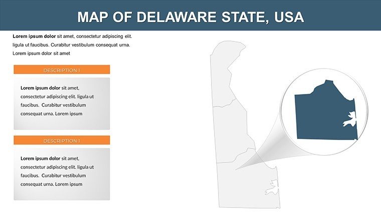
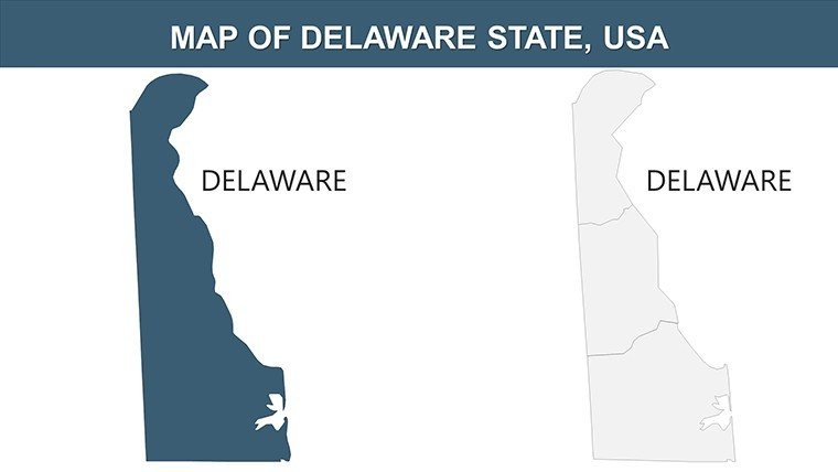
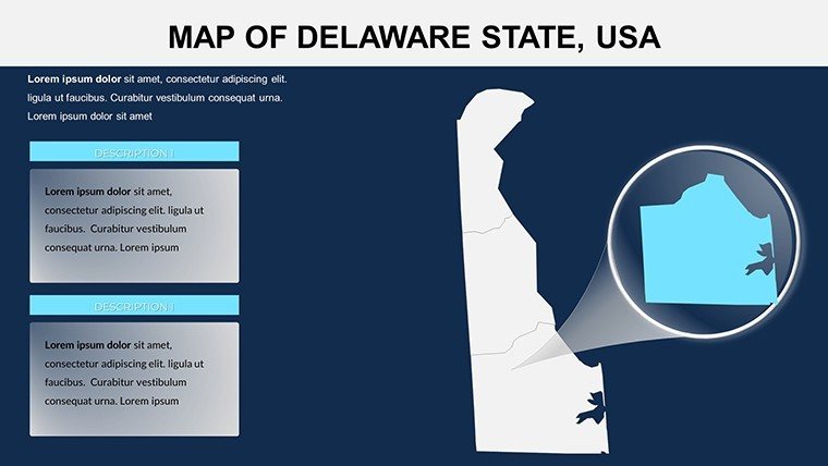
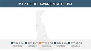
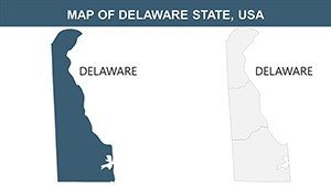
- Vector-Based Accuracy: Precise boundaries for all counties, zoomable without quality loss for detailed explorations.
- Element Customization: Modify shapes, fonts, and icons to align with your theme, including maritime symbols for Sussex.
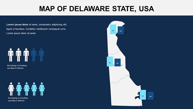
- Seamless Data Fusion: Link to spreadsheets for live updates on metrics like employment rates in Kent County.
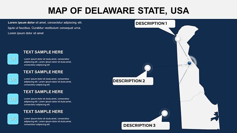
- User-Centric Design: Intuitive editing that empowers quick changes, no graphic expertise required.
Geospatial experts from the American Association of Geographers affirm that such tools enhance data interpretation by 70%, making complex info digestible.
Practical Applications That Inspire Action
Business pros leverage it for territorial analysis; map sales data across New Castle to identify hotspots, supporting decisions like those from the Delaware Business Roundtable. Educators bring Delaware's founding father legacy alive by animating Kent County events or Sussex fisheries. Researchers map NIH-funded studies on coastal changes in Sussex, bolstering conference talks.
In practice, a non-profit mapped community health in New Castle, aiding funding from the Delaware Health Care Commission. Its modularity suits government reports too, visualizing infrastructure in Kent for policy advocacy.
Streamlined Usage Workflow
- Instant Download: Get the PPT file post-purchase and open in your app.
- Personalize Counties: Edit New Castle's outline, add Dover markers in Kent.
- Incorporate Analytics: Overlay Delaware State University data for authenticity.
- Animate for Flow: Sequence county reveals to guide viewer focus.
- Deploy Confidently: Share via cloud for team reviews.
This method slashes editing time, freeing creativity.
Edges Over Conventional Mapping
Surpassing basic inserts, our vectors ensure sharpness, with built-ins like election overlays for Kent from official records. At a budget-friendly price, it trumps bespoke designs, including previews and updates from Delaware GIS sources. A user shared, "Revolutionized my Sussex tourism pitch."
Adhering to standards from the University of Delaware's geography department, it fosters reliable visuals.
Chart Your Path Forward
Empower your Delaware narratives with this template - download now and craft maps that motivate and inform. From strategies to stories, it's your key to standout presentations.
Frequently Asked Questions
What counties does this cover?
New Castle, Kent, and Sussex, with comprehensive editable maps.
Compatibility details?
Works with PowerPoint, Google Slides, and Keynote for versatile use.
Editable extent?
100% - colors, data, labels all customizable.
Include samples?
Yes, free preview slides to test before buying.
For business use?
Licensed yes, ideal for reports and strategies.


