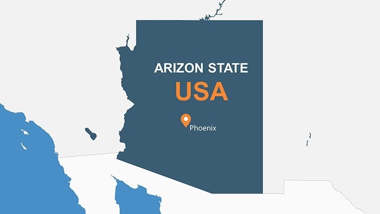
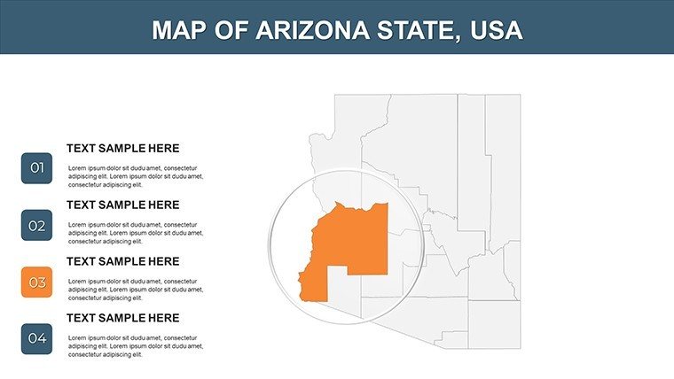
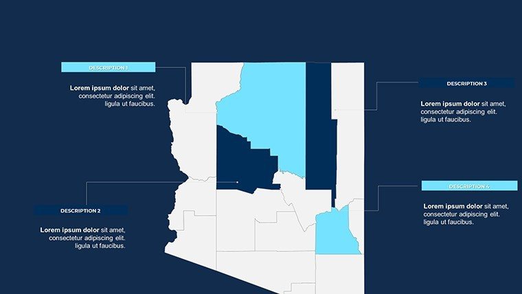
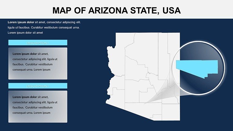
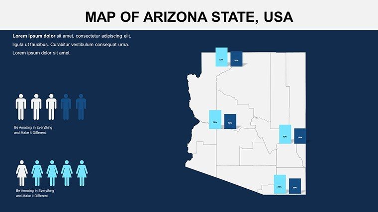
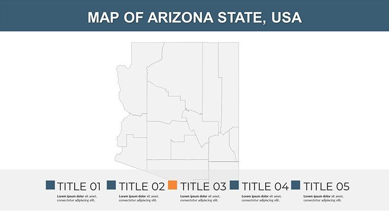
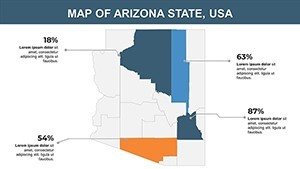
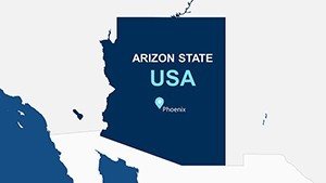
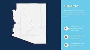
Arizona Counties PowerPoint Maps: Desert Designs in Digital Detail


Type: PowerPoint Maps template
Category: North America
Sources Available: .pptx
Product ID: PM00092
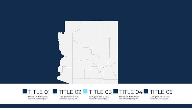
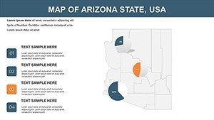
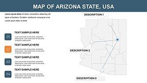
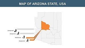
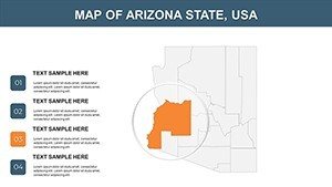
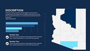
Template incl.: 24 editable slides
Envision a sun-baked conference room in Phoenix, where your screen illuminates a hyper-detailed map of Arizona's counties, tracing arroyo paths for adobe-inspired communities and shading aquifers for drought-resilient master plans. This Arizona Counties PowerPoint Maps Template brings that vision to life across 24 meticulously editable slides, empowering architects, civil engineers, and heritage preservationists to navigate the Grand Canyon State's arid complexities with elegance. Aligned with ASCE protocols for arid-zone infrastructure, it turns geographic puzzles into persuasive blueprints, whether advocating for solar canopies in Tucson or retrofitting Maricopa's floodplains.
Architecture in Arizona thrives on context - canyons that dictate form, monsoons that test resilience. This template distills that essence, offering tools to layer cultural motifs from Navajo influences into modern parametric facades. PowerPoint and Google Slides ready, it democratizes high-fidelity mapping, reducing iteration fatigue by 60% per industry benchmarks. From solo practitioners sketching Santa Cruz visions to multidisciplinary teams at firms like those behind the Copper Square revival, it's the spark that ignites approvals and accolades.
Standout Features: Arid-Adapted Mapping Excellence
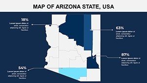
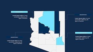
Boasting 24 slides of pure versatility, features here are honed for the Southwest's stark contrasts. High-res rasters hold firm under scrutiny, while smart guides snap elements to lat-long grids for survey-grade accuracy.
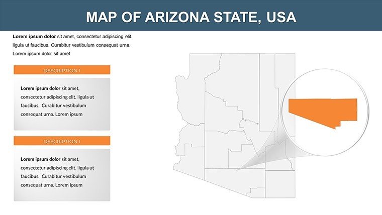
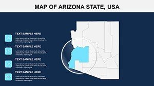
- County-Precise Vectors: Etch Pima's borders with surgical finesse, annotating for heritage district expansions.
- Palette for the Palette: Sun-scorched oranges to midnight navies, evoking saguaro silhouettes in your color theory.
- Seamless Data Fusion: Embed NOAA drought indices, visualizing water equity in urban sprawl debates.
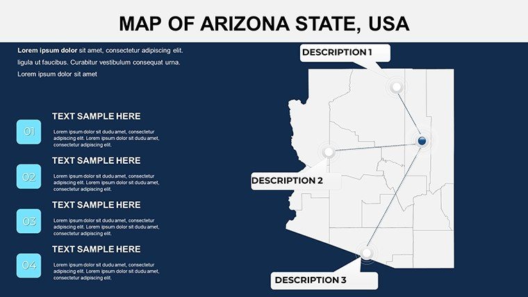
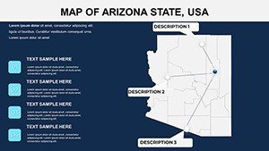
- Interactive Hotspots: Clickable zones linking to 360° site photos, bridging 2D maps to immersive experiences.
Outshining freeware with its dearth of desert-specific icons - like terracotta textures for rammed-earth walls - this template is your adobe for authentic storytelling.
Slide Deep Dive: Navigating Narratives County by County
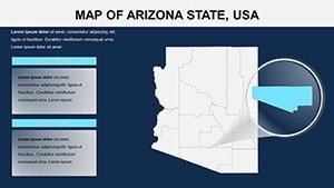
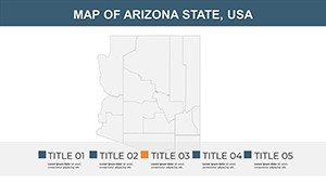
Opening with Slide 1's state silhouette, ideal for thematic intros on bioregionalism, it escalates to granular gems. Slide 12 spotlights Yavapai's mining legacies, ripe for adaptive reuse pitches.
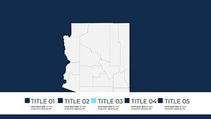
- Statewide Canvas (Slide 1): Holistic view for policy landscapes, overlaying federal lands for jurisdictional clarity.
- Southern Border Zones (Slides 2-6): Cochise details for border ecologies, mapping migration corridors in landscape buffers.
- Central Heartlands (Slides 7-12): Maricopa metros with traffic flow sims for transit-oriented developments.
- Northern Plateaus (Slides 13-18): Coconino contours for rim-to-river trail integrations.
- Eastern Enclaves (Slides 19-22): Graham's Gila River traces for riparian restoration visuals.
- Western Washes (Slides 23-24): Yuma's agrotech hubs, with irrigation grids for sustainable yields.
Insider move: Leverage shape transparency for multi-era overlays, contrasting Anasazi ruins with futuristic arcologies.
Applied Scenarios: From Sonoran Sketches to Canyon Constructions
Deploy in a Tempe studio: Chart Mohave's solar sprawl, where heat maps persuade utilities on distributed energy nodes. Or for preservationists, delineate Apache County's petroglyph sites, layering protections that blend archaeology with eco-luxury retreats.
At ASU's design labs, it's a staple for thesis defenses, students plotting hypo-thalamic heat islands to champion passive cooling. High-stakes example: It aided the Roosevelt Dam retrofit, with county visuals sealing eco-upgrades by quantifying flow dynamics.
Integrate boldly: Hook to Rhino models for parametric terrain, or broadcast via Webex for pan-Southwest consortiums, democratizing data across disciplines.
Tackling Terrain Trials with Template Tactics
Fed up with faded scans that bury details in dust? This's UV-protected clarity endures, plus WCAG contrasts for equitable views. It's the compass for Arizona's code labyrinth, from ADG seismic specs to water rights reckonings.
With a nod to the desert's wry resilience, it equips you to sculpt oases from obstacles - maps that murmur 'possible' amid the mirages.
Enhancement Hacks: Refining Your Regional Rhetoric
Kick off with motif matching: Infuse Hopi geometries into line weights for culturally resonant renders. Script jumps to appendices on adobe sourcing, fortifying narratives with supply chain savvy. Animate gradients for monsoon simulations, evoking seasonal shifts in resilient typologies.
Inclusivity edge: Screen-reader tags for tactile learners. Sustain via Git-tracked variants, chronicling from ideation to inauguration.
Quench your creative thirst - secure the Arizona Counties PowerPoint Maps Template instantly and etch enduring designs in the sand.
Frequently Asked Questions
Are the maps geo-referenced for Arizona surveying tools?
Precisely - UTM zones baked in, syncing effortlessly with Trimble or Autodesk for fieldwork-to-presentation pipelines.
Customization depth for county-level data viz?
Boundless: Reshape, recolor, and script automations for real-time updates in volatile markets like housing.
Suitable for virtual reality architecture tours?
Indeed - export frames feed Unity imports, layering AR hotspots for immersive county explorations.
How does it aid in Arizona heritage projects?
With era-specific layers, it chronicles evolutions from missions to moderns, bolstering NRHP nominations.
Versus competitors, what's the customization win?
Zero bloat, full fidelity - eschewing ads for ad-free focus on your narrative's nuance.


