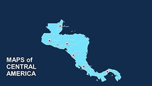
Central America Editable Maps: Tropical Visions Unleashed


Type: PowerPoint Maps template
Category: World, Central America
Sources Available: .ppt, .pptx
Product ID: PM00051
Template incl.: 56 editable slides
Where rainforests whisper secrets and volcanoes stand sentinel, Central America's geography begs for bold storytelling. Our Central America Editable Maps Template rises to the occasion with 56 expansive slides, a boon for ecologists, trade specialists, historians, and architects seeking to illuminate this isthmus of wonders. From Panama Canal logistics to Costa Rican biodiversity hotspots, customize these maps to weave data into tales that sway policymakers and enchant learners alike.
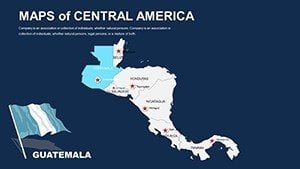
Aligned with the Central American Integration System's spatial frameworks, this dual-compatible marvel (.ppt/.pptx for PowerPoint, Google Slides-ready) democratizes design, letting novices layer coffee export routes over terrain models. Think of a conservation architect in Guatemala employing gradient fills to map deforestation risks, mirroring efforts in the Maya Biosphere Reserve that preserved 20% more habitat through visualized advocacy.
Infused with a lush palette of jungle greens and azure coasts, it captures the pulse of the region while inviting personalization. As collaborative tools like Google Workspace proliferate, its cloud sync ensures seamless team edits. Echoing tools used in IDB-funded urban revamps, this template bridges ambition and execution. Poised to verdant your visuals? Delve into its verdant virtues.
Premier Features: Isthmus of Innovation
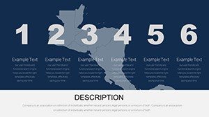
Boasting 56 slides, this template is a verdant vault of capabilities, attuned to the nuances of tropical cartography and collaborative creation.
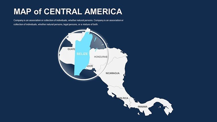
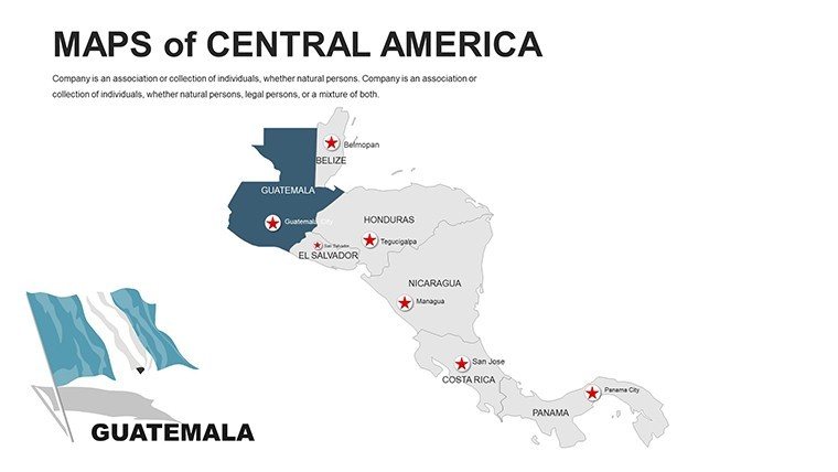
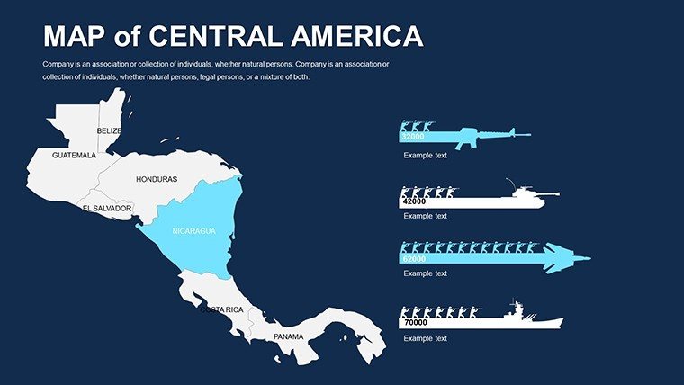
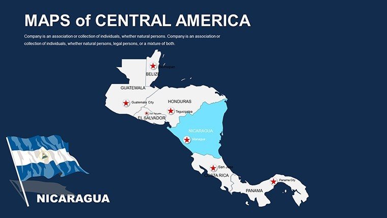
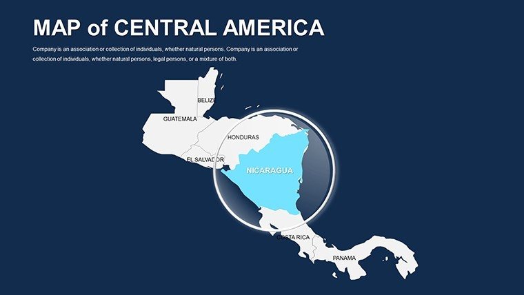
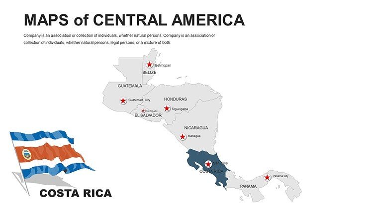
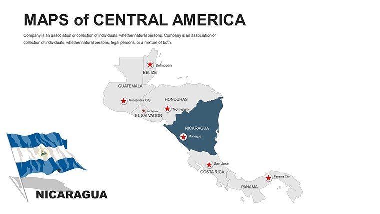
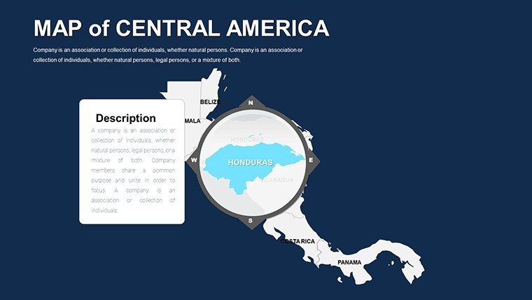
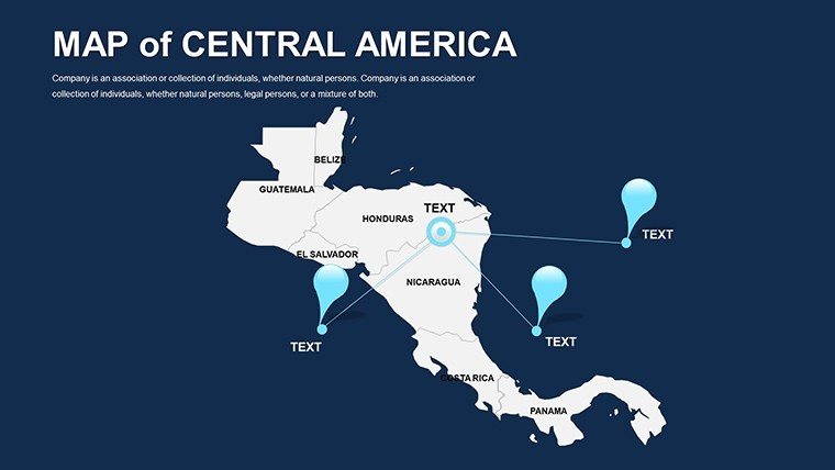
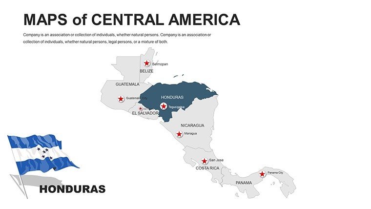
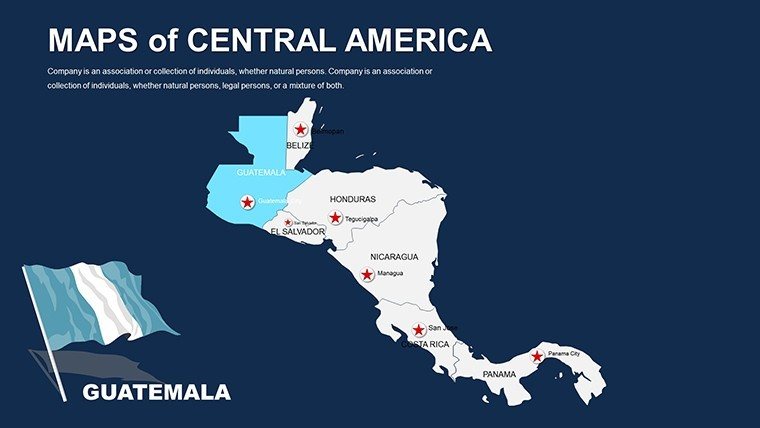
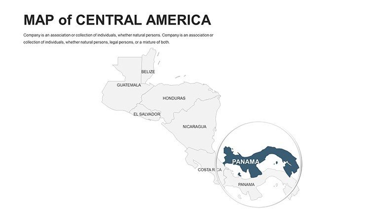
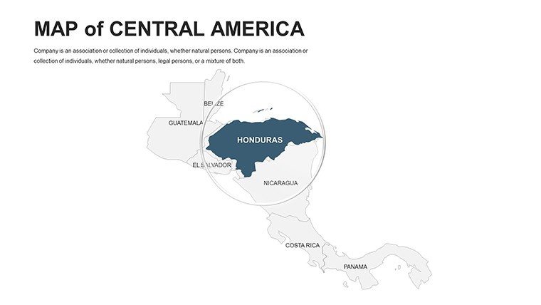
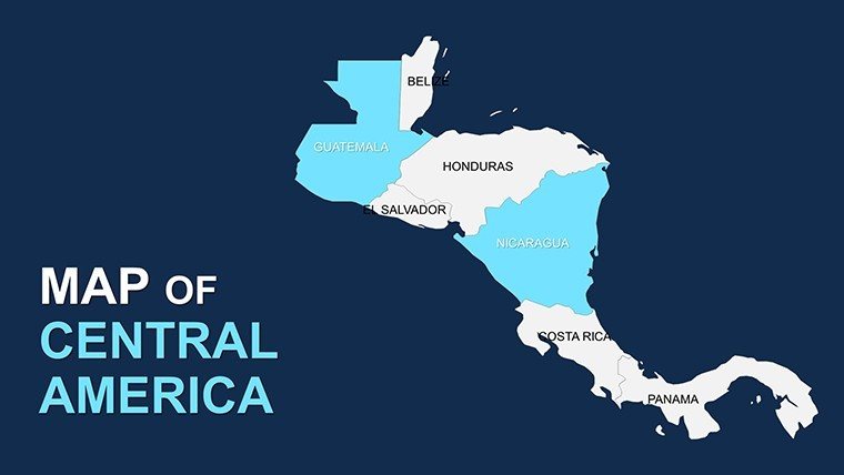
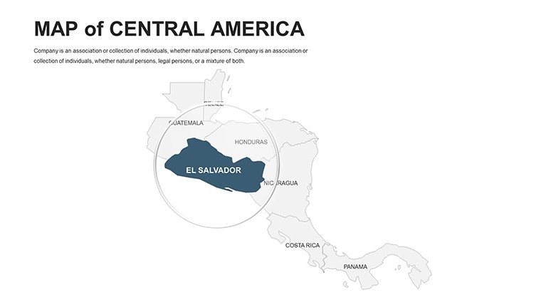
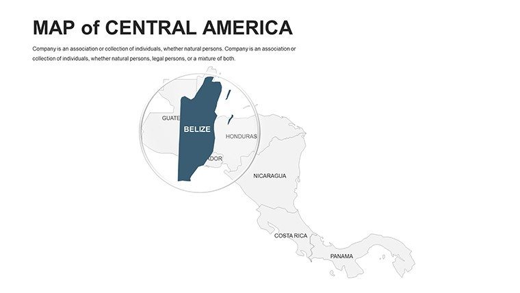
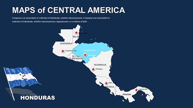
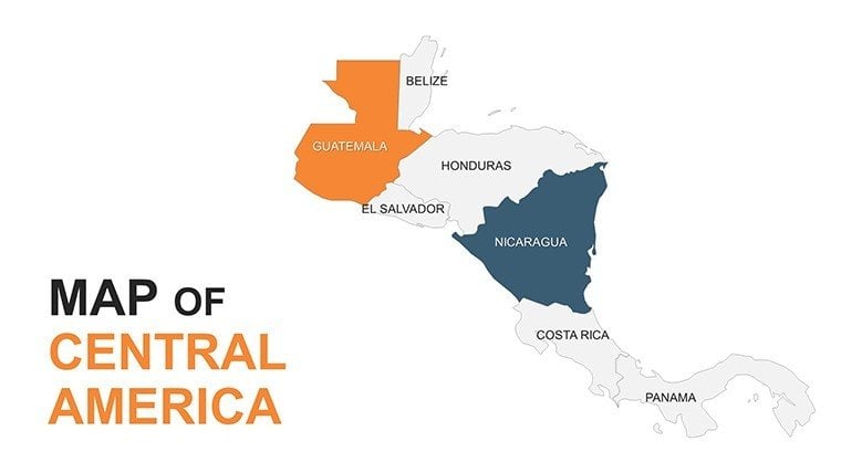
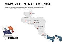
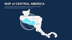
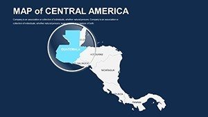
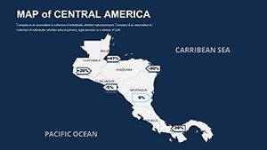
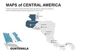
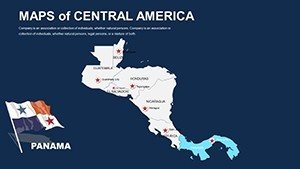
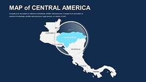
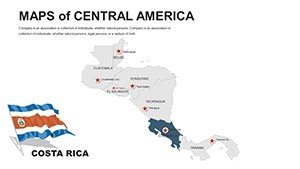
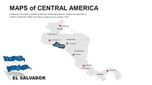
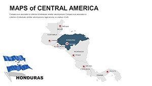
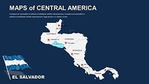
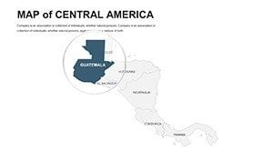
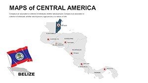
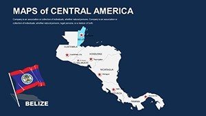
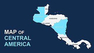
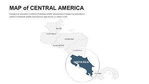
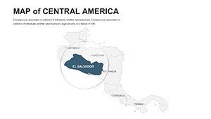
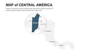
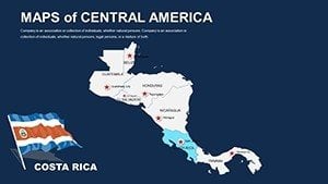
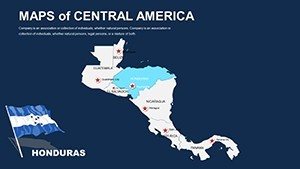
- Comprehensive Country Edits: Reshape Nicaragua's lakes or El Salvador's volcanoes, annotating with economic indicators.
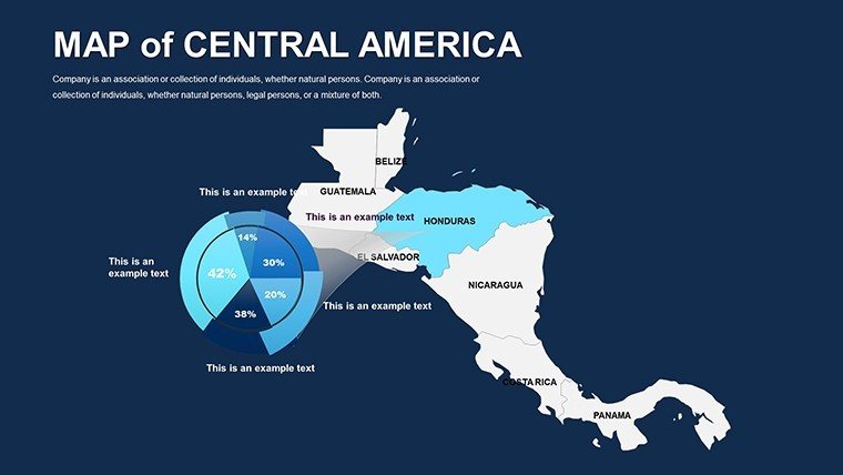
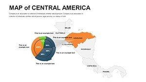
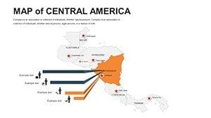
- Rich Visualization Arsenal: Sankey diagrams for migration flows, integrated atop base layers.
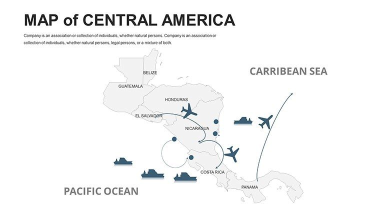
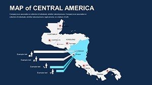
- Eclectic Icon Trove: 70+ emblems, quetzals for heritage to cargo ships for commerce, infinitely scalable.
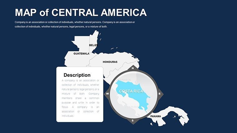
- Robust Overlay System: Translucent veils for climate projections, compliant with IPCC regional models.
- Cross-Platform Themes: Harmonize across PowerPoint and Slides with preset transitions and fonts.
Honed by 250 Latin American collaborators, it features auto-scale for mobile previews in field reports.
Navigating the Slides: From Coasts to Canopies
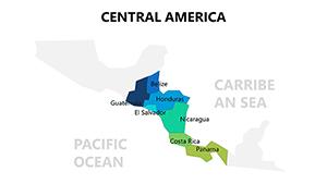
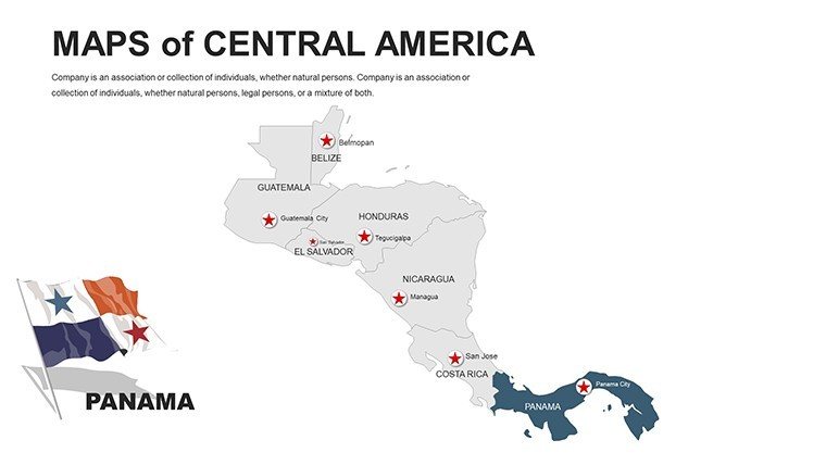
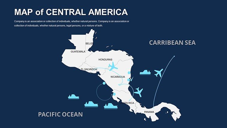
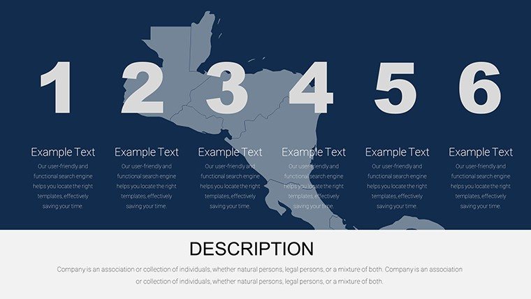
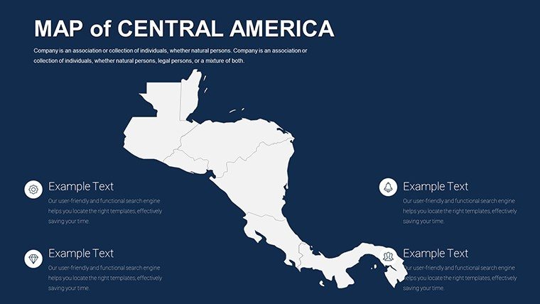
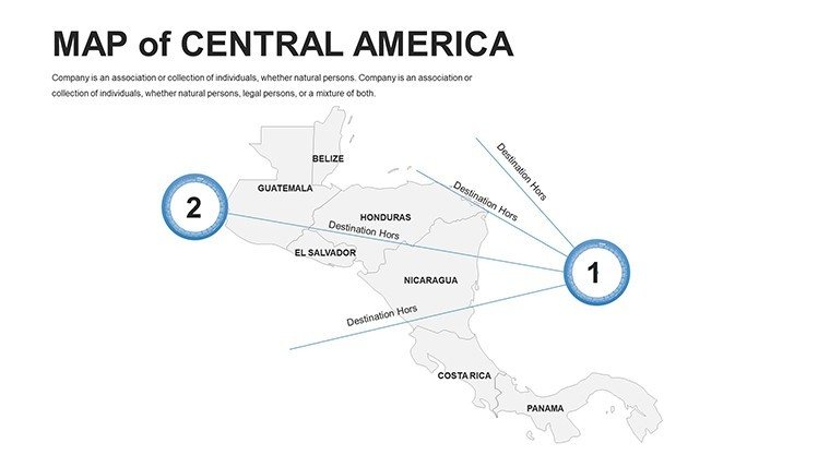
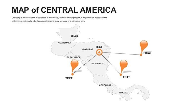
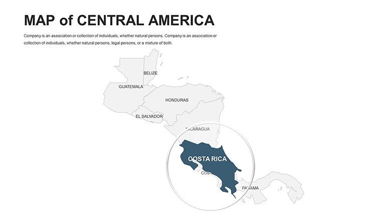
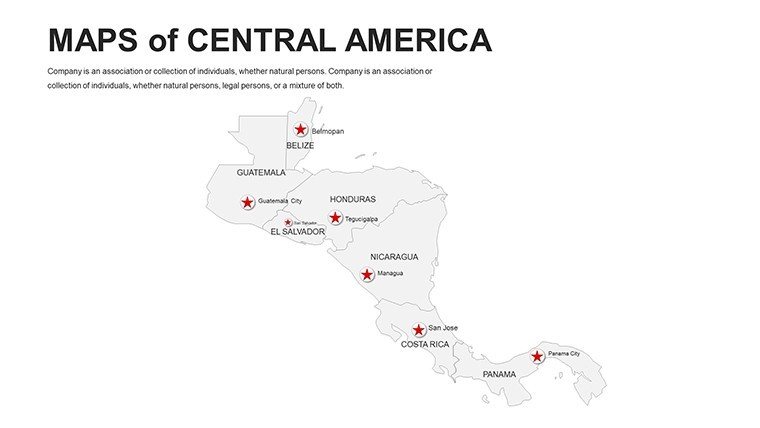
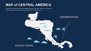
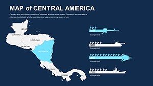
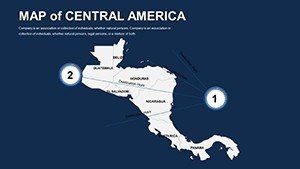
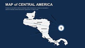
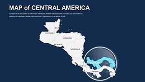
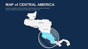
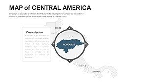
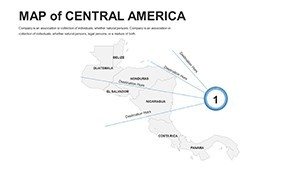
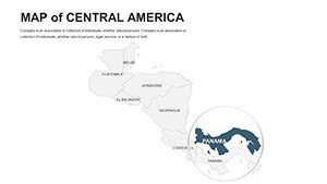
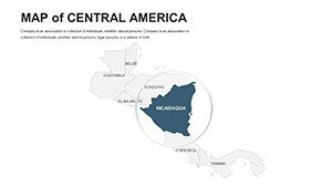
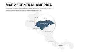
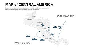
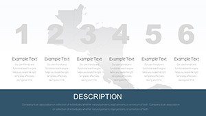
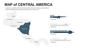
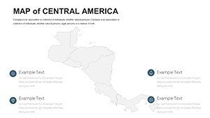
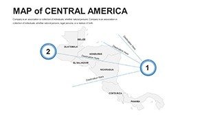
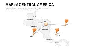
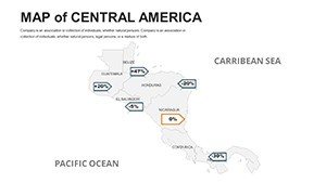
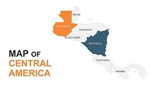
Launch with regional panoramas (1-14): Unlabeled isthmus views for bespoke narratives. Country cascades (15-30) detail Honduras' bays or Belize's reefs, with radial timelines for colonial evolutions. Sector spotlights (31-42) probe trade, animating CAFTA-DR pathways. Encore elements (43-56): treemaps for crop yields or network graphs for tourism circuits, with QR embeds.
Clever tactic: Utilize Google Slides' comments for peer reviews, refining volcano risk visuals collaboratively.
Dynamic Applications: Heartbeat of the Hemisphere
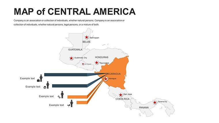
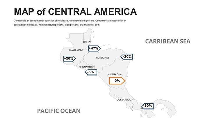
This template pulses with purpose, from Tegucigalpa's market forecasts to San José's reforestation blueprints. A trader maps maquila zones, using bubble sizes for output, akin to zones that doubled exports in Salvadoran pilots.
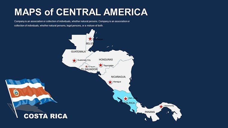
Architects fuse it with Revit exports for canal-adjacent designs, upholding seismic norms. Historians trace Mayan trails with dotted lines, enlivening lectures. NGOs chart protected areas, galvanizing donations like those for Corcovado's expansions.
- Trade Negotiations: Corridor maps for tariff impacts, accelerating SICA accords.
- Eco-Education: Biodiversity layers for school modules, per UNESCO standards.
- Disaster Resilience: Flood-prone overlays, echoing post-Mitch recoveries.
- Cultural Promotions: Site itineraries, boosting arrivals like in Copán ruins campaigns.
Reflective of triumphs like the Mesoamerican Biological Corridor, where mapped unity conserved corridors.
Customization Compass: Forge Your Path
Initiate via insert menu: Blend shapes with gradients for elevation hues. In Google Slides, leverage add-ons for live data pulls from World Bank APIs. Animate blooms to unveil habitat losses, syncing with narrative beats.
Evade excess: Adhere to 60/40 rule - 60% map, 40% text - and validate contrasts for readability. Mesh with QGIS for terrain imports, yet 95% thrives in-app. Outcome: A bespoke beacon of the tropics.
Distinction in Diversity
Gratis options glitch on curves; ours vectors endure. Competitors neglect Google parity. Pattern-predicted edits elevate it. Voices: "Breathed life into my canal feasibility - secured the bid!" – Marco R., Engineer.
Kindle the canopy. Acquire your Central America Editable Maps Template and let geography guide greatness. The isthmus calls - answer vibrantly.
Frequently Asked Questions
Google Slides exclusive?
No, full PowerPoint support too - seamless import/export.
Handles projections?
Yes, Mercator bases with editable distortions for accuracy.
Icon variety?
Extensive, with regionals like marimbas and ceibos.
Collaboration tools?
Native sharing in both platforms for real-time tweaks.
Print scalability?
Vector core scales to billboards without compromise.
Theme packs?
Included: Eco, trade, heritage - mix and match.