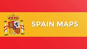
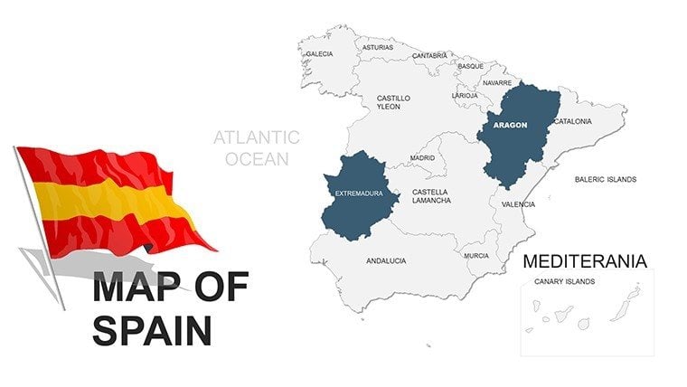
Spain PowerPoint Maps Template - Customizable Excellence


Type: PowerPoint Maps template
Category: Europe
Sources Available: .pptx
Product ID: PM00038
Template incl.: 46 editable slides
Step into a realm where Spain's vibrant landscapes and rich cultural tapestry come alive in your presentations. Our Spain PowerPoint Maps Template, with its 46 editable slides, is engineered for those who demand precision in conveying geographical narratives. Picture illustrating the economic vibrancy of Catalonia or the tourism hotspots in Andalusia with maps that are as dynamic as the country itself. Targeted at business analysts tracking market expansions, educators delving into Iberian history, and tourism experts crafting itineraries, this template transforms raw data into persuasive visuals. Customize colors to match Spain's fiery flamenco reds or serene Mediterranean blues, add labels for cities like Madrid or Barcelona, and integrate icons for landmarks such as the Sagrada Familia. Benefits abound: save time on design, enhance audience retention with interactive elements, and align with professional standards like those from the European Cartographic Association. Whether highlighting wine production regions in Rioja or urban planning in Valencia, this tool elevates your content, making complex information accessible and memorable. Embrace the essence of Spain in your slides and inspire your viewers with every click.
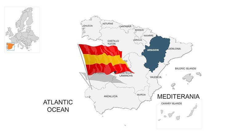
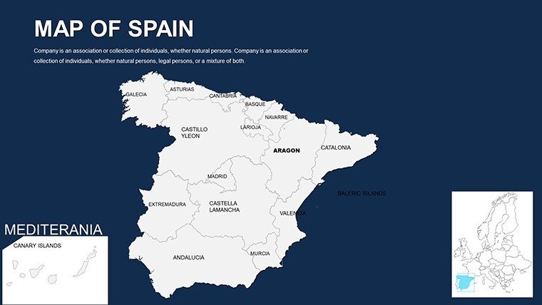
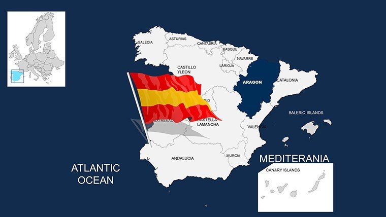
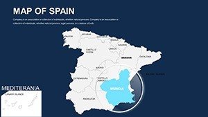
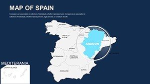
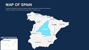
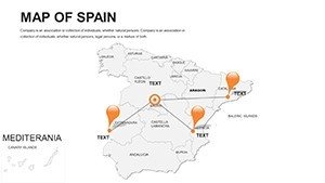
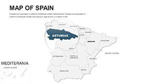
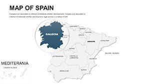
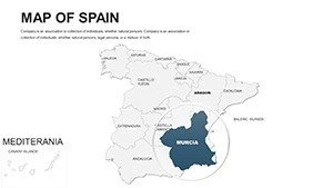
Exploring the Depth of Spain's Map Features
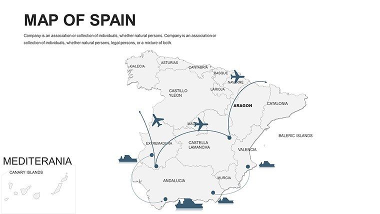
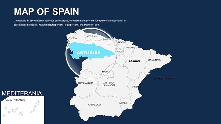
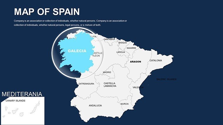
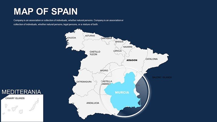
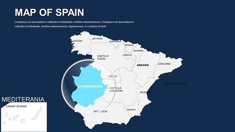
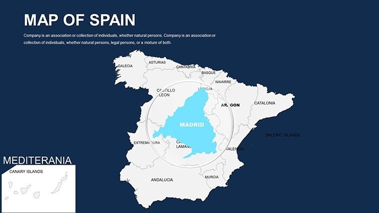
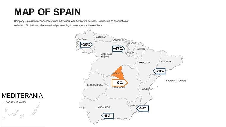
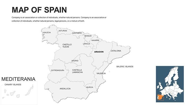
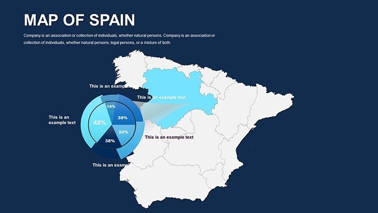
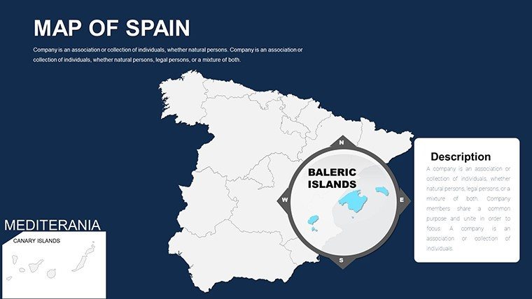
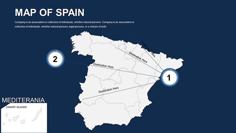
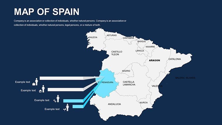
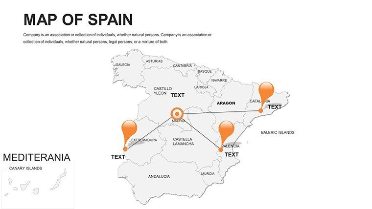
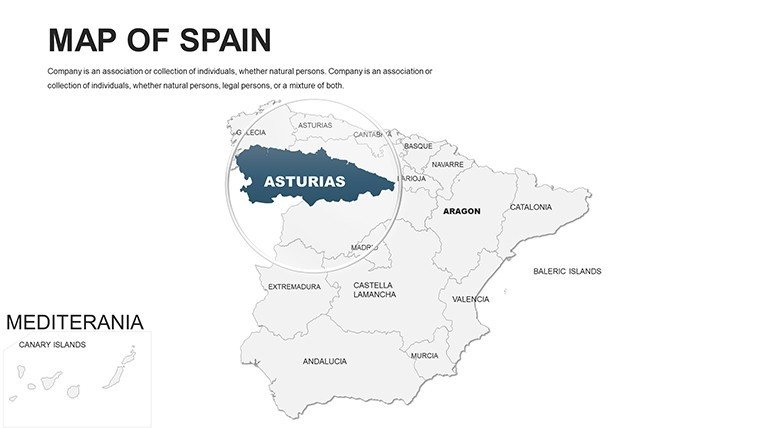
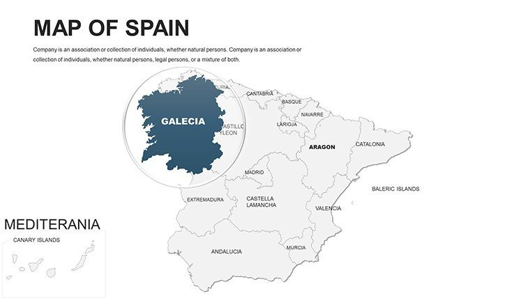
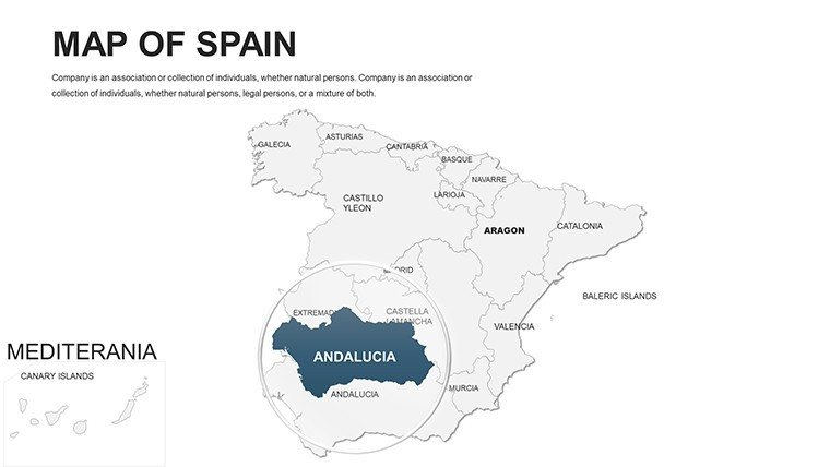
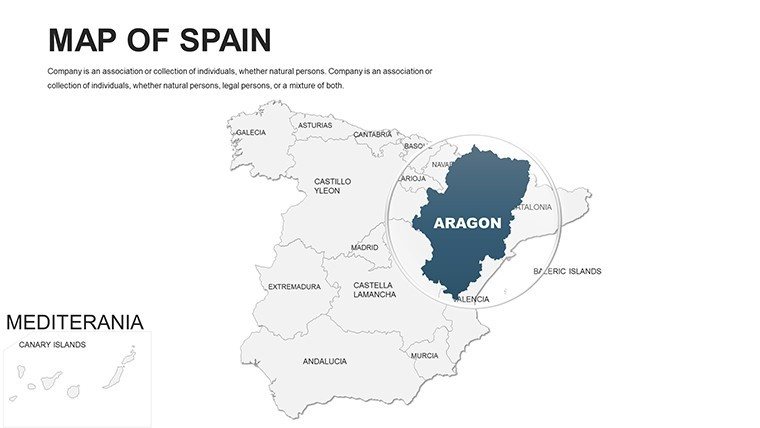
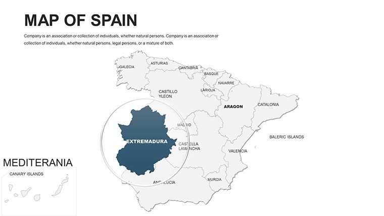
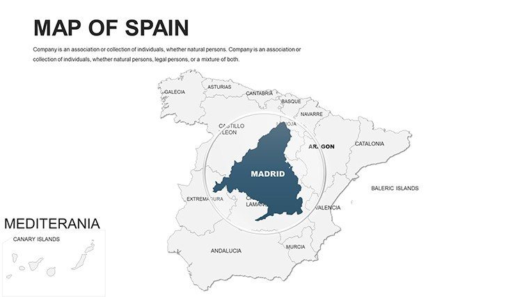
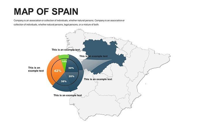
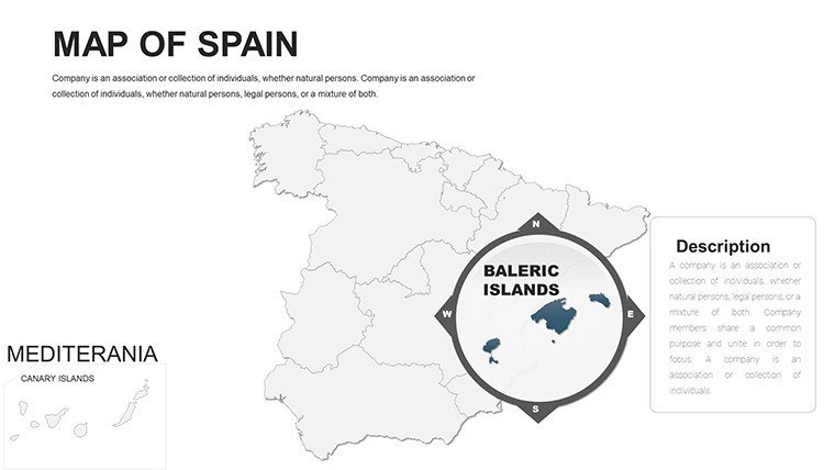
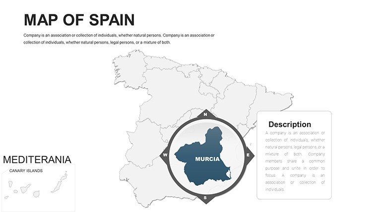
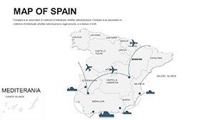
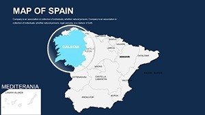
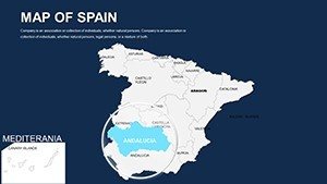
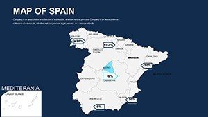
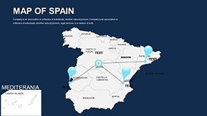
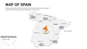
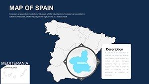
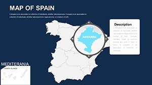
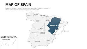
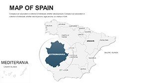
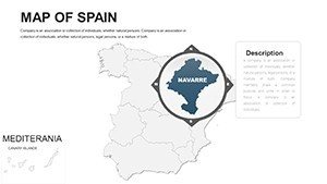
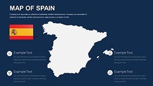
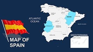
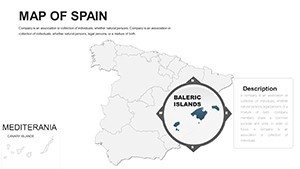
This template's core strength is its detailed, vector-editable maps that cover Spain's autonomous communities, provinces, and key urban centers. Begin with a nationwide overview, then zoom into specifics like the Balearic Islands for tourism analytics or the Basque Country for industrial insights. For a marketing strategist, color-code regions based on consumer spending data from sources like INE (Instituto Nacional de Estadística), creating heat maps that reveal opportunities in underserved areas. Educators can animate historical migrations, such as the Reconquista path, using layered slides that build narrative tension. Unlike standard PowerPoint inserts, which often lack scalability, these maps maintain quality in high-definition exports, perfect for conference posters or online shares. The inclusion of thematic templates - economic, demographic, environmental - allows for multifaceted analysis, such as comparing coastal vs. inland climate impacts per IPCC reports. With seamless compatibility across platforms, you can collaborate on-the-go, ensuring your presentation reflects the latest data trends.
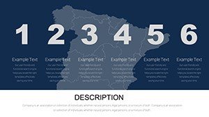
Standout Elements for Enhanced Visualization
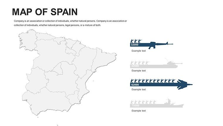
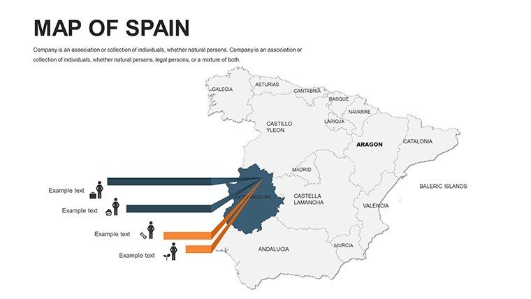
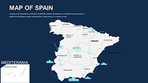
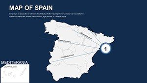
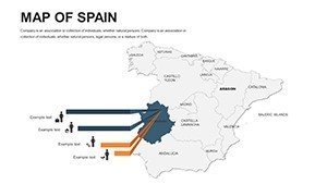
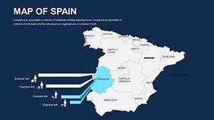
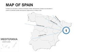
- Layered Mapping System: Stack multiple data sets, like population density over transportation networks, for comprehensive insights into mobility patterns.
- Custom Icon Sets: Spain-specific graphics, including bullfighting arenas or olive groves, to infuse cultural relevance.
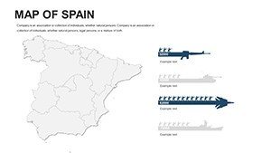
- Chart Integration: Embed line graphs for tourism growth in Costa del Sol or pie charts for export shares from ports like Bilbao.
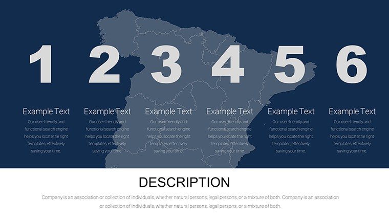
- Animation Presets: Fade-ins for revealing autonomous regions, ideal for step-by-step explanations in lectures.
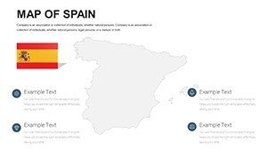
- Brand Alignment Tools: Quick-style applicators to match corporate colors, ensuring consistency in client-facing materials.
These components draw from expert design principles, promoting by incorporating accurate geographical data validated against official sources.
Diverse Applications Tailored to Your Needs
Adapt this template to myriad professional demands, from corporate strategy to academic discourse. In real estate, map property hotspots in Madrid's Gran Via district, overlaying zoning regulations per Spanish urban planning laws, to pitch investments effectively. Step-by-step: Select a base map, import GIS data, apply filters, and add annotations for a polished proposal. For environmental consultants, visualize renewable energy sites in windy Galicia, using bar charts to compare output with EU benchmarks. Educators might create interactive quizzes on Spain's diverse ecosystems, from Pyrenees mountains to Canary Islands volcanoes, fostering student engagement. Compared to free online tools, which often compromise on customization, this template offers robustness and professionalism, cutting design time significantly. Tourism operators can design bespoke routes, highlighting festivals like La Tomatina in Buñol, with embedded hyperlinks to booking sites. Each scenario highlights the template's adaptability, backed by case studies like how Telefónica uses similar maps for network coverage reports, enhancing strategic planning.
Practical Workflow for Seamless Creation
- Open the template and choose your starting slide layout.
- Modify boundaries and fills using the selection pane for precise edits.
- Incorporate external data via copy-paste from spreadsheets, generating automatic visuals.
- Add multimedia: Embed videos of Spanish landmarks or audio narrations.
- Review accessibility: Ensure alt text for images and logical reading order.
- Export and present, gathering insights for refinements.
This process mirrors efficient methodologies employed by top firms, streamlining your creative output.
The Ultimate Value in Presentation Innovation
What makes this Spain maps template indispensable is its blend of aesthetic appeal and analytical power, addressing pain points like data overload in presentations. Users gain from boosted engagement - research from Harvard Business Review indicates visuals improve persuasion by 43% - and authoritative delivery, as maps adhere to cartographic standards. For architects, integrate into bids for projects in Seville's historic quarters, mapping heritage sites against modern developments per UNESCO guidelines. Marketers can dissect e-tourism trends, using maps to strategize post-pandemic recovery in Mallorca. The template surpasses basics by offering data-driven canvases, with users praising its role in securing deals, like a startup's successful funding pitch on regional innovations. Trust its craftsmanship to position you as an expert, delivering content that's not just seen but remembered.
Transform your ideas into visual masterpieces - secure your Spain PowerPoint Maps Template now and redefine presentation excellence.
Frequently Asked Questions
How detailed are the regional maps?
The template includes high-resolution maps covering provinces and autonomous communities, with options for zooming and layering.
Does it support data from external sources?
Yes, easily import data from Excel or CSV to create dynamic charts and heat maps.
Is it suitable for educational use?
Definitely, with features for interactive lessons on Spain's geography and history.
What customization levels are available?
Full edits on colors, labels, icons, and layouts to match your needs.
Can I use it in team collaborations?
Compatible with shared platforms like Google Slides for real-time edits.
Are updates included?
Access to future enhancements for maintained relevance.