Brazil PowerPoint Maps: Interactive Template for Insightful Presentations


Type: PowerPoint Maps template
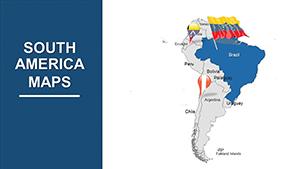
Category: South America
Sources Available: .pptx
Product ID: PM00028
Template incl.: 36 editable slides
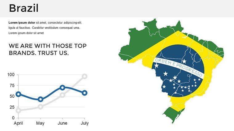
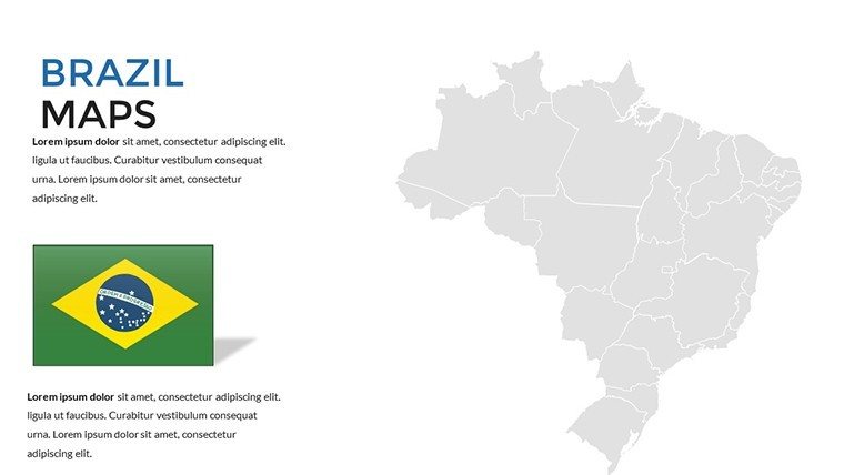
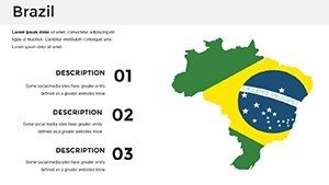
Brazil, with its Amazon rainforests, vibrant Rio carnivals, and economic powerhouses like São Paulo, represents a continent-sized opportunity for exploration and analysis. Crafting presentations that do justice to this diversity demands robust visuals. Our Brazil maps PowerPoint template, equipped with 36 editable slides, meets this need head-on, catering to company executives strategizing market entries, educators dissecting ecosystems, and analysts tracking demographic shifts. This interactive toolkit allows you to highlight states from Amazonas to Rio Grande do Sul, integrate data for compelling narratives, and engage audiences with dynamic elements. Bypass the hassle of custom mapping and dive straight into content creation, all while enjoying compatibility with PowerPoint and Google Slides for fluid teamwork. Whether unveiling tourism potentials or governmental policies, this template delivers professional-grade results that clarify complexities and spark discussions.
Navigating Brazil's Geography with Precision
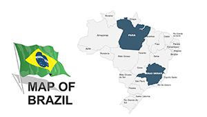
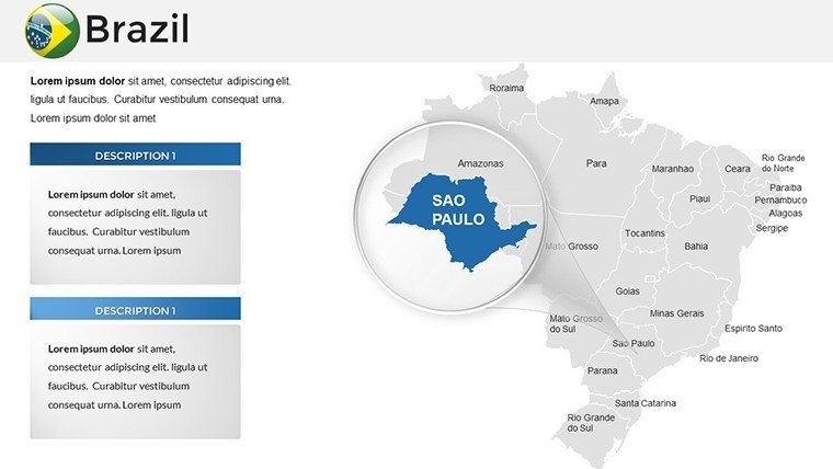
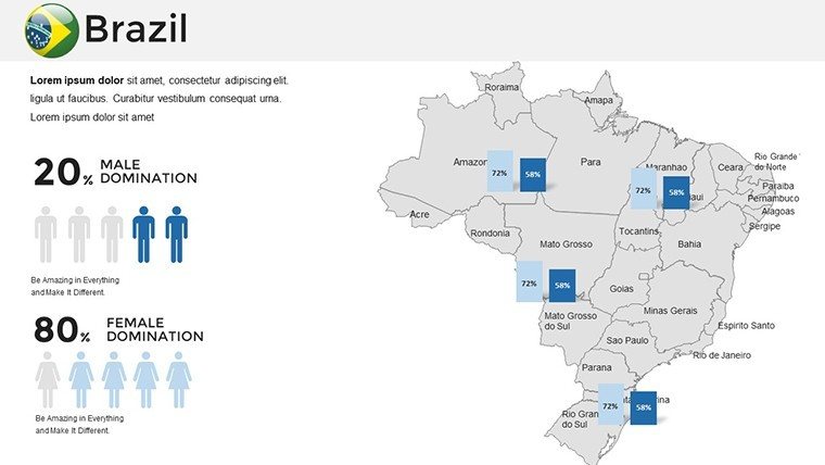
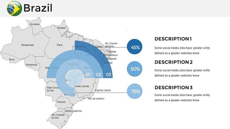
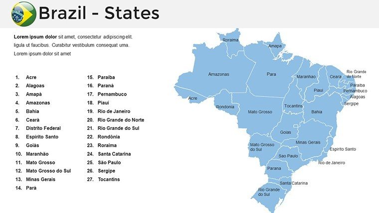
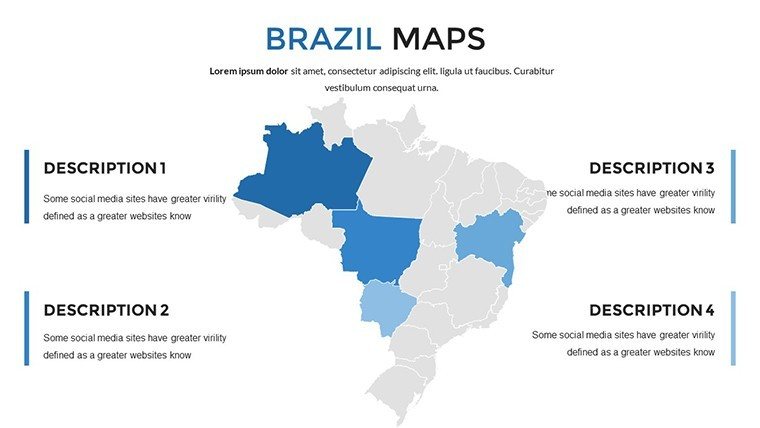
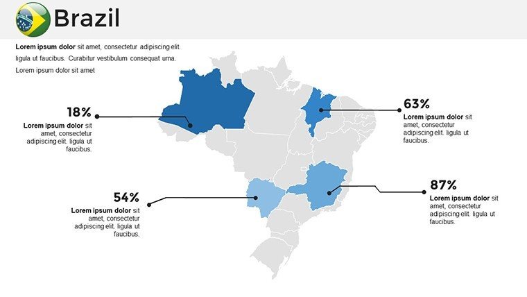
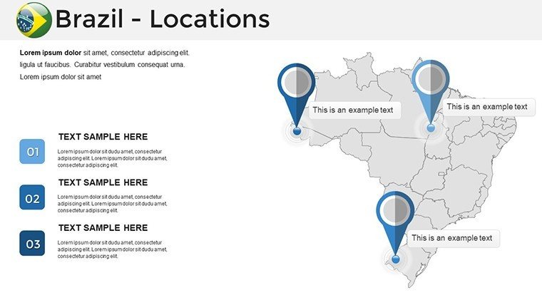
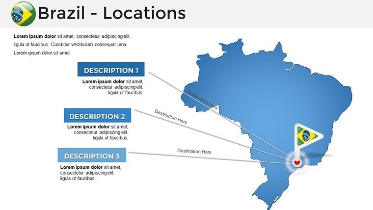
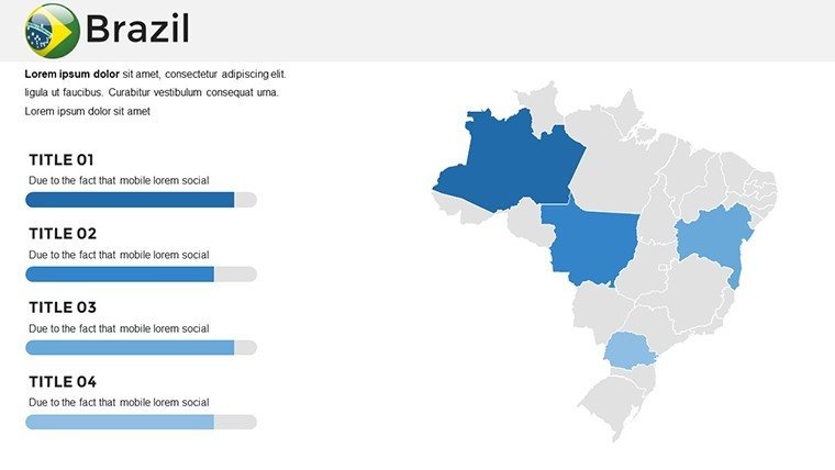
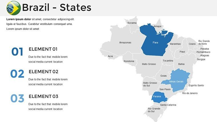
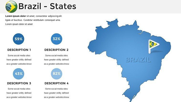
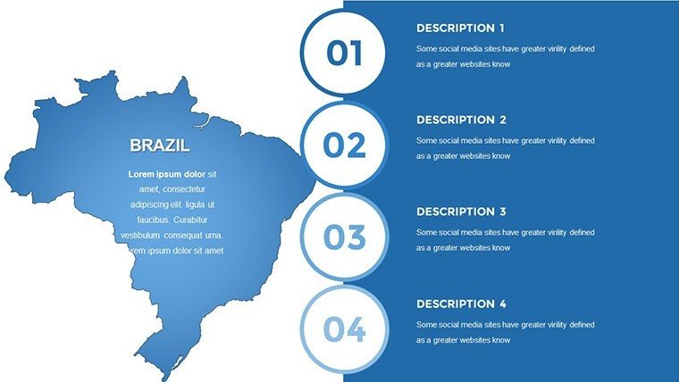
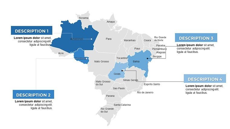
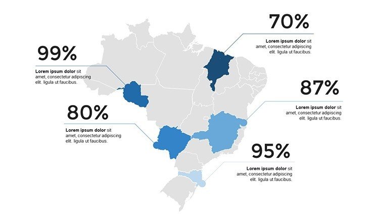
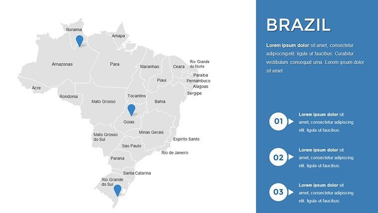
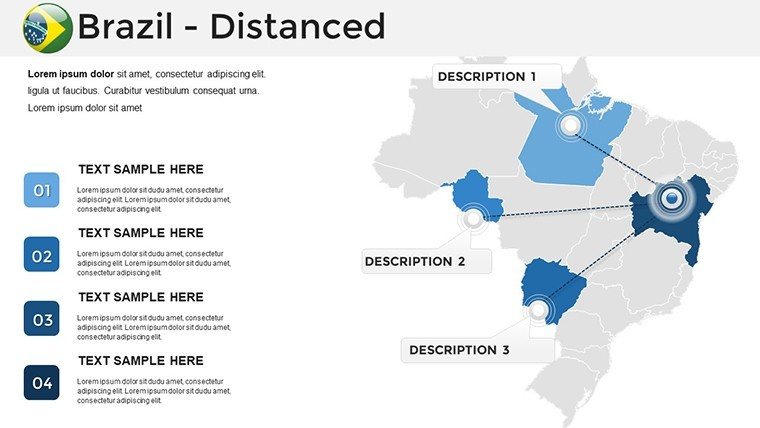
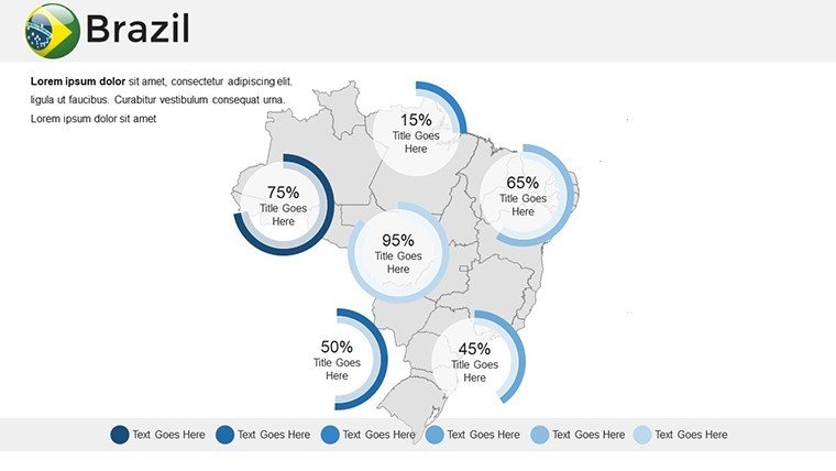
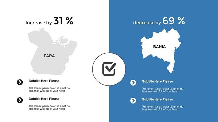
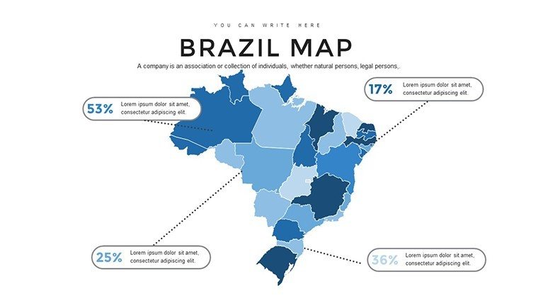
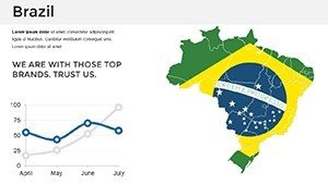
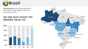
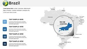
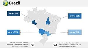
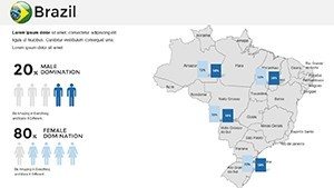
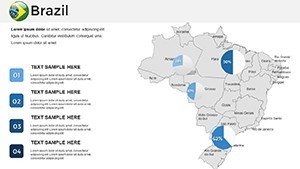
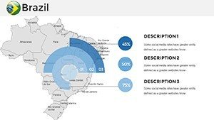
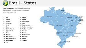
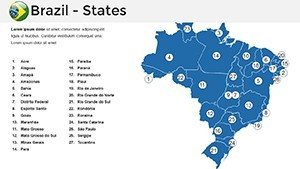
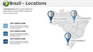
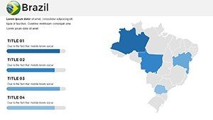
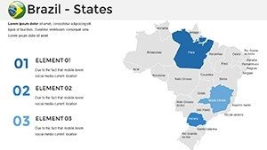
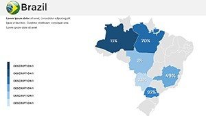
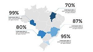
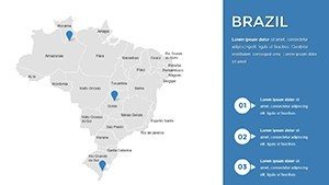
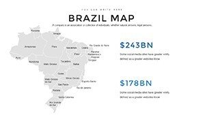
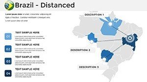
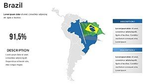
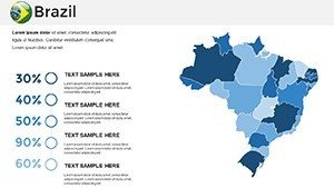
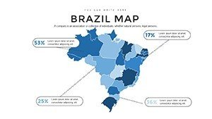
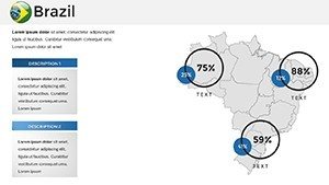
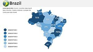
Brazil's expanse covers biomes from wetlands in the Pantanal to urban sprawls in Brasília. This template offers detailed maps of all 26 states and the federal district, enabling focused views on regional specifics. Outshining rudimentary tools, it includes interactive hotspots for deeper interactions, like clicking on Minas Gerais to reveal mining industry stats from IBGE data. Government officials can use it for policy rollouts, mapping infrastructure projects, while trainers create engaging modules on cultural diversity, aligned with Brazilian educational frameworks.
Core Features Driving Engagement
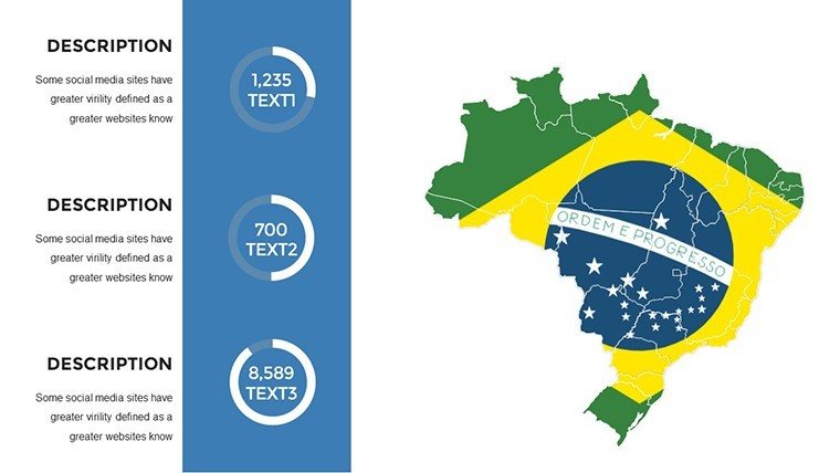
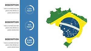
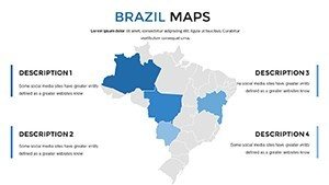
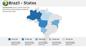
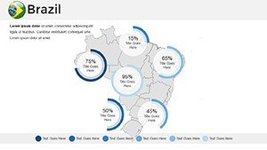
- Detailed Regional Maps: High-quality visuals of states, cities, and natural features for targeted presentations.
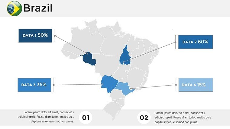
- Interactive Components: Clickable elements that reveal data layers, enhancing audience participation.
- Visual Upgrades: Aesthetic designs that elevate professionalism, from color schemes to icon sets.
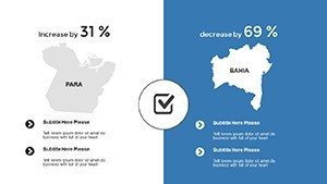
- Customization Flexibility: Adapt maps to fit themes, like green tones for environmental talks.
- Efficiency Boosters: Pre-built slides save time, allowing focus on analysis over aesthetics.
A research institute reported 35% better retention in seminars using interactive maps for Amazon deforestation trends, echoing studies from Nature journal.
Versatile Scenarios for Brazil-Focused Content
Visualize a corporate briefing: Map sales territories across Northeast Brazil, overlaying consumer data from Nielsen reports. For academia, illustrate biodiversity in the Atlantic Forest, using slides to compare conservation efforts. This template's adaptability extends to tourism, where operators plot eco-tours, incorporating feedback from TripAdvisor for authenticity.
Workflow for Effective Map Customization
- Define Scope: Select maps for national or regional focus.
- Layer Information: Add data via integrated tools, ensuring source accuracy.
- Enhance Interactivity: Set up clicks and hovers for dynamic reveals.
- Polish Design: Align visuals with your narrative's tone.
- Deploy and Iterate: Test in presentations, refine based on input.
This approach, akin to agile methodologies, optimizes for diverse users.
Outperforming Standard Mapping Solutions
Unlike basic options that limit interactivity, this template provides immersive experiences, cutting preparation time significantly. It's ideal for data-heavy fields, supporting visualizations of economic indicators from the IMF, fostering deeper insights.
Insider Tips for Brazil Presentations
- Highlight contrasts, like urban vs. rural, for impactful comparisons.
- Use animations sparingly to emphasize key regions.
- Incorporate local data sources for authenticity.
- Encourage Q&A with interactive elements.
These strategies, from seasoned analysts, maximize value.
Seize Brazil's Potential in Your Slides
Elevate your presentations with interactive depth. Download this Brazil template today and transform data into dialogue.
FAQ
- How interactive are the maps?
- Highly, with clickable elements for data reveals and engagement.
- Suitable for government use?
- Yes, for policy and development planning.
- File format and compatibility?
- .pptx, works with PowerPoint and Google Slides.
- Can I add my own data?
- Easily, with seamless integration tools.
- Number of slides included?
- 36 editable slides for full coverage.
- Ideal for tourism?
- Perfect, with route plotting features.