Israel PowerPoint Maps: Download PPT


Type: PowerPoint Maps template
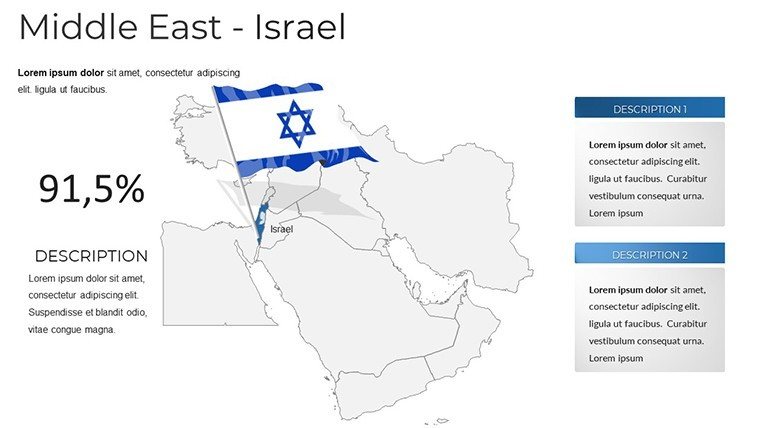
Category: Middle East
Sources Available: .pptx
Product ID: PM00212
Template incl.: 37 editable slides
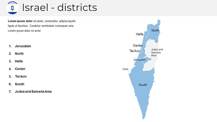
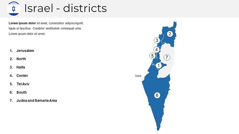
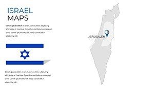
Envision your presentations coming alive with detailed, dynamic maps of Israel that tell stories beyond words. Tailored for professionals navigating Middle Eastern markets, educators exploring historical contexts, or researchers analyzing regional data, this Israel PowerPoint Maps Template offers 37 editable slides to craft narratives with precision and style. From highlighting Tel Aviv's tech ecosystem to mapping ancient sites in Jerusalem, these maps provide a canvas for your insights. Designed for PowerPoint compatibility, they ensure effortless editing, allowing you to focus on content rather than creation. Whether pitching to investors or teaching geography, this template turns complex information into accessible, engaging visuals.
Unlocking the Potential of Customizable Israel Maps
In an era where visual storytelling dominates, our template excels by merging geographic accuracy with design flexibility. Informed by cartographic best practices from sources like the Survey of Israel, it delivers maps that are not only aesthetically pleasing but also factually robust. This approach mirrors strategies used in high-stakes UN presentations, where clarity can influence decisions.
Standout Features for Professional Presentations
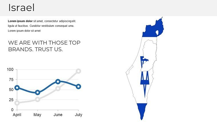
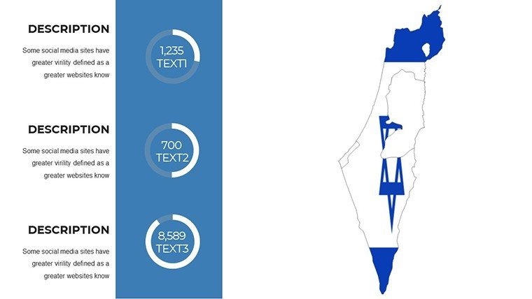
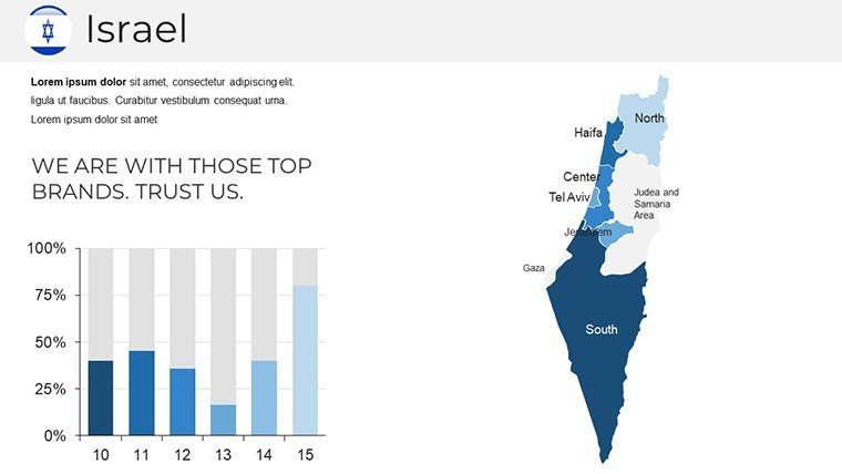
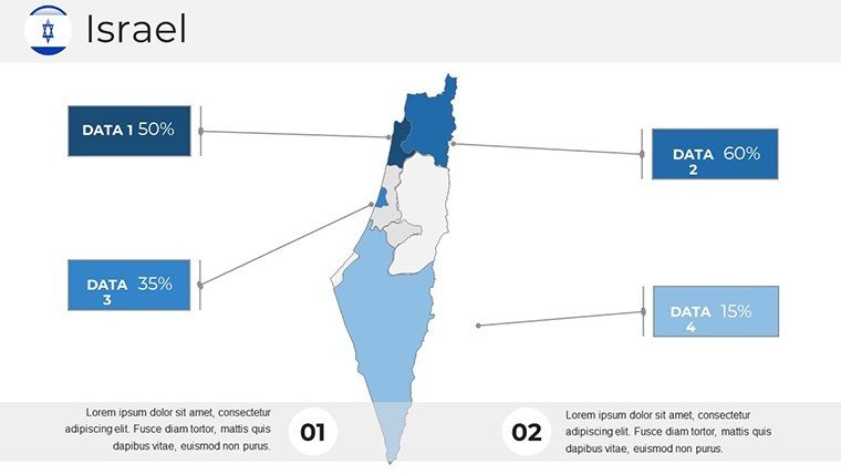
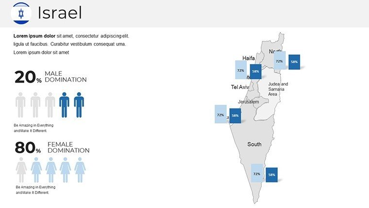
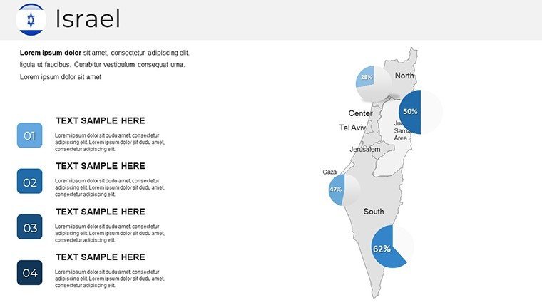
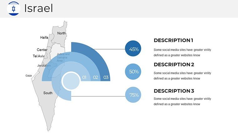
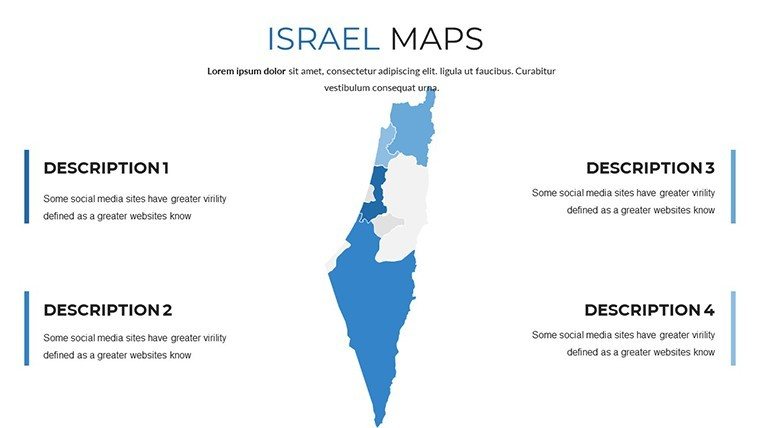
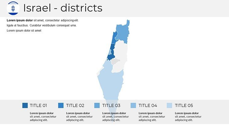
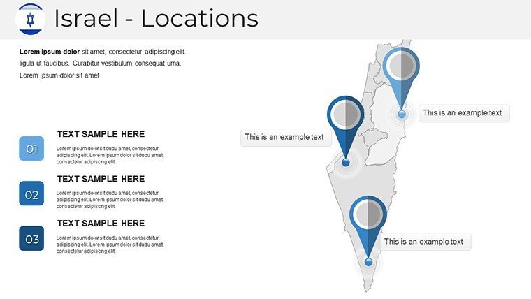
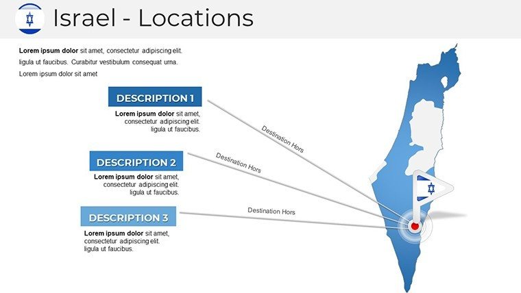
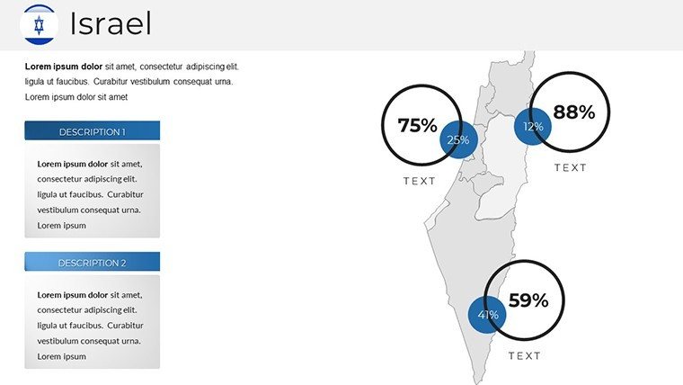
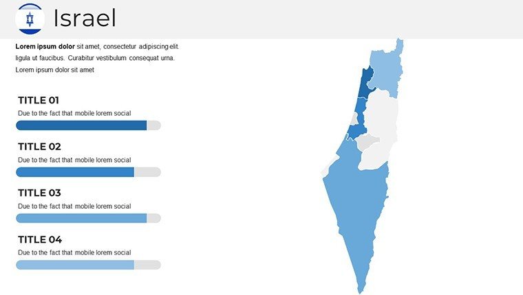
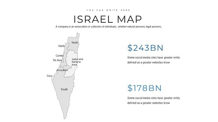
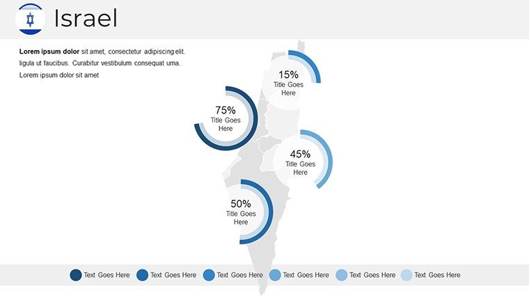
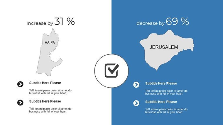
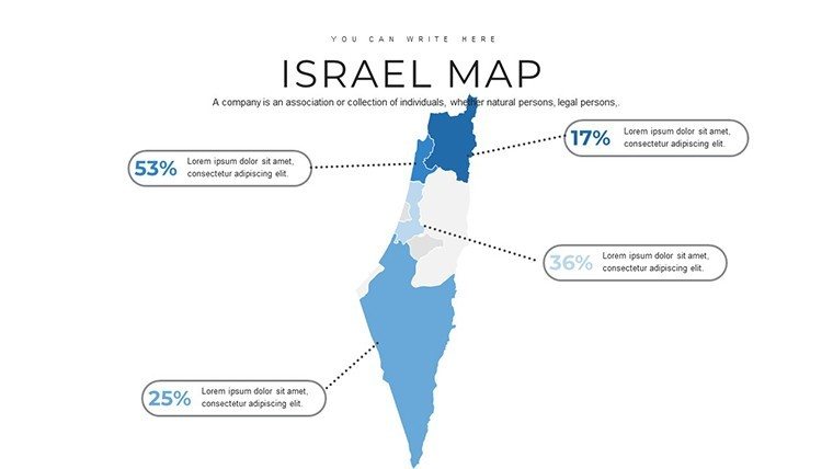
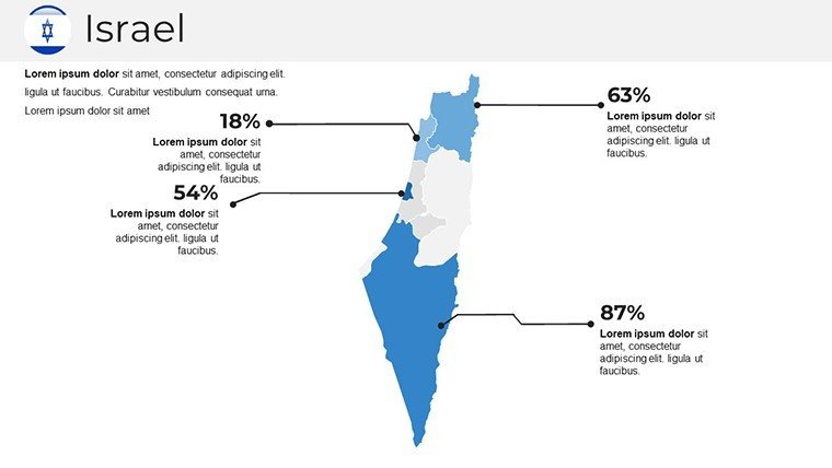
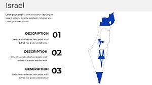
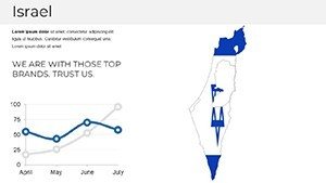
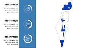
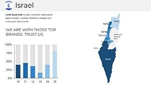
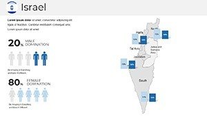
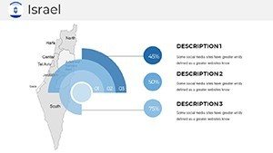
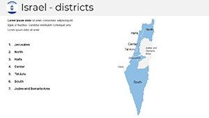
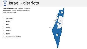
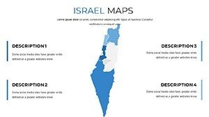
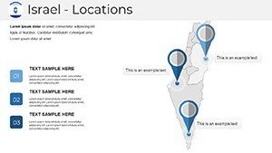
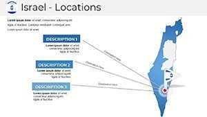
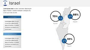
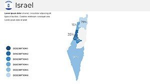
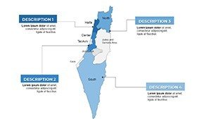
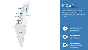
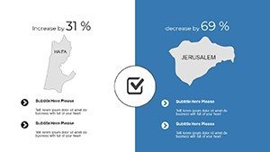
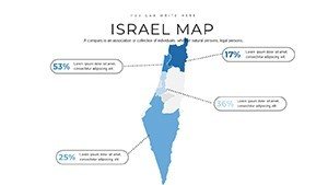
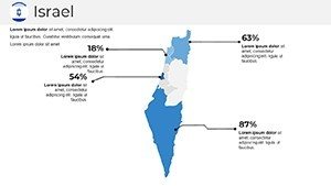
- Rich Infographic Variety: Incorporate maps alongside charts and graphs to illustrate demographics in the Negev or economic zones in Haifa, enhancing data comprehension.
- Easy Customization Tools: Modify colors, fonts, and layouts to align with your brand - perhaps using blues for water resources in the Galilee or greens for agricultural areas.
- High-Resolution Visuals: Ensure crisp clarity on any screen size, ideal for virtual meetings or large conference projections without pixelation.
- Intuitive User Interface: Navigate and edit slides effortlessly, even if you're new to PowerPoint, with drag-and-drop elements that streamline workflow.
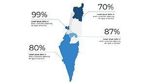
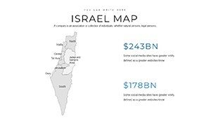
- Integrated Data Visualization: Overlay statistics like tourism figures in Eilat or innovation hubs in Herzliya, using built-in tools for seamless integration.
These elements address common pain points, such as time-consuming custom map creation. Users often waste hours on free tools with limited options; here, pre-vectored designs scale perfectly, saving valuable prep time.
Practical Applications Across Industries
Dive into scenarios where this template shines. For business professionals, imagine a market entry strategy session: Start with an overview map of Israel, color-coded by industry sectors. Zoom into detailed slides on the Silicon Wadi, incorporating graphs of startup growth from reports by the Israel Innovation Authority.
Step-by-Step Guide: Research Presentation on Regional Development
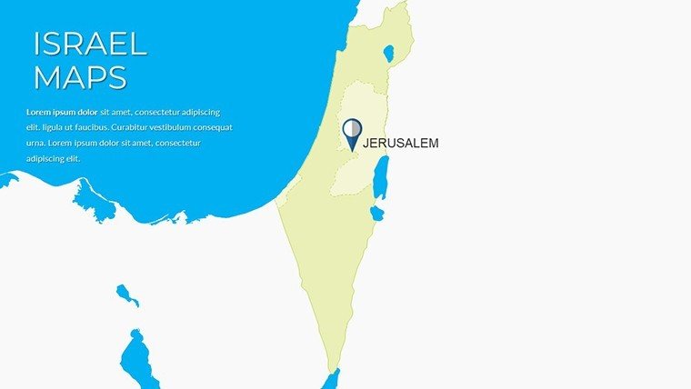
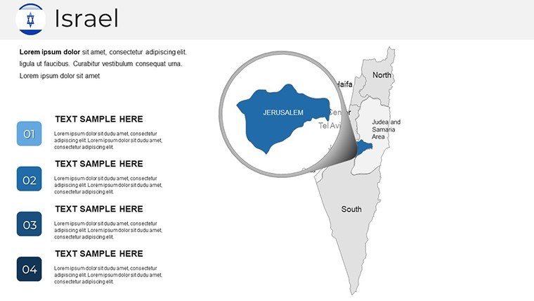
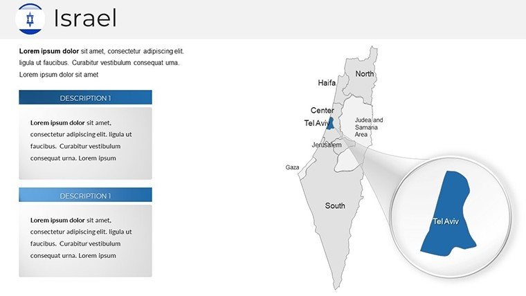
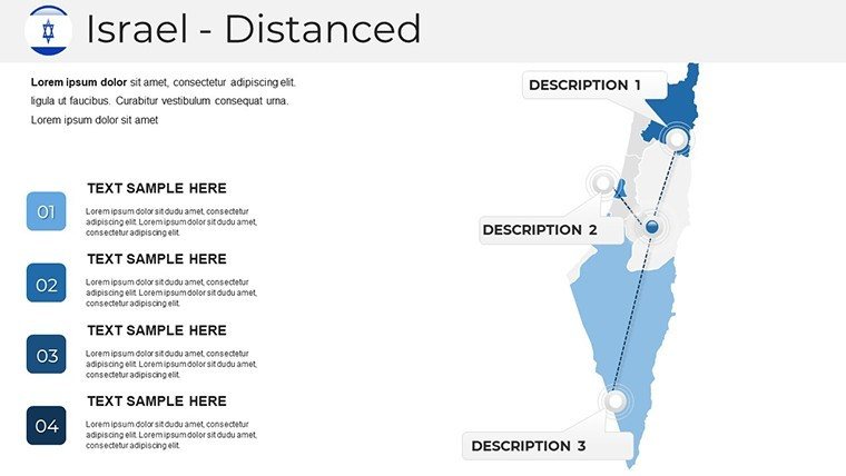
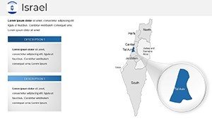
- Choose Your Foundation Slide: Select a base map and customize boundaries to focus on areas like the Golan Heights for resource analysis.
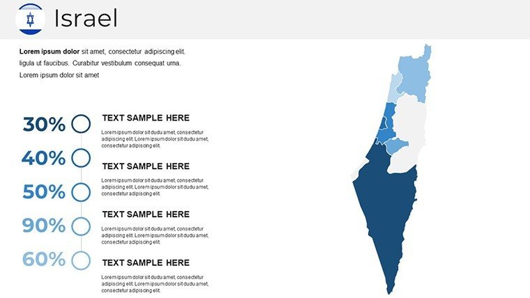
- Layer in Data: Add editable charts showing population shifts or economic indicators, sourced from credible data like the Central Bureau of Statistics.
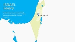
- Enhance with Visuals: Insert icons for key landmarks, such as the Dead Sea for environmental studies, to add context without clutter.
- Build Narratives: Use transitions to reveal layers progressively, engaging viewers as you discuss historical evolutions or future projections.
- Refine and Share: Export as PPTX for compatibility, ensuring your presentation impresses in boardrooms or academic forums.
Educators benefit immensely - craft lessons on Israel's diverse topography, from Mediterranean coasts to desert expanses. Interactive maps allow students to explore cultural sites, aligning with educational standards from the Ministry of Education, promoting active learning as evidenced by UNESCO visual aid studies.
Marketers can leverage it for campaigns: Map customer distributions in major cities like Beersheba, integrating sales data visualizations to pinpoint opportunities. Compare pre- and post-campaign impacts with duplicated slides, demonstrating ROI with compelling visuals.
Why This Template Outperforms Standard PowerPoint Options
Basic PowerPoint shapes fall short for detailed geography. Our vector-based maps maintain integrity at zooms, unlike raster images that blur. Backed by 708 ratings, it offers reliability absent in generic downloads, incorporating LSI elements like "editable Israel regions" naturally for better search visibility.
Pro Tips from a Presentation Expert
Drawing on experience in global marketing, pair maps with subtle animations for emphasis - fade in borders to reveal territorial changes over time. Ensure accessibility by using high-contrast colors, adhering to WCAG guidelines. Integrate with Microsoft 365 for collaborative edits, turning solo projects into team triumphs.
This template's trustworthiness stems from its user-focused design, much like how ISO standards ensure product quality - here, it's about presentation excellence.
Elevate Your Storytelling Today
Step away from ordinary slides and embrace maps that inspire. Grab this Israel PowerPoint Maps Template now to visualize ideas with impact. Your audiences await - make every presentation memorable.
Frequently Asked Questions
How customizable are the Israel maps?
The maps are 100% editable, including colors, labels, and added elements, for tailored presentations.
Does it work with all PowerPoint versions?
Yes, compatible with recent PowerPoint editions, including Microsoft 365 and older standalone versions.
Suitable for educational use?
Definitely, with features perfect for lessons on geography, history, or current events in Israel.
What format is the download?
Provided as a .pptx file with 37 slides, ready for immediate customization.
Can I add my own data?
Absolutely, integrate charts and text seamlessly to overlay custom statistics or insights.
Are there any usage restrictions?
No, licensed for personal, educational, and commercial applications without limitations.