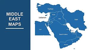
Iraq PowerPoint Maps Template: Unlock Geographical Narratives


Type: PowerPoint Maps template
Category: Middle East
Sources Available: .pptx
Product ID: PM00213
Template incl.: 36 editable slides
Imagine transforming dry data into a vivid journey through the cradle of civilization. The Iraq PowerPoint Maps Template is your gateway to that transformation, offering 36 meticulously crafted, fully editable slides designed for professionals who need to convey complex geographical insights with elegance and precision. Whether you're an urban architect sketching site analyses for Mesopotamian-inspired developments or a business strategist mapping market expansions along the Euphrates, this template turns static maps into dynamic storytelling tools. Compatible seamlessly with Microsoft PowerPoint and Google Slides, it empowers you to customize every element - from color-coded regions to layered topography - ensuring your presentations resonate with authenticity and impact.
Drawing from the rich tapestry of Iraq's landscape, this template isn't just a collection of slides; it's a professional toolkit honed for real-world applications. Think of the bustling streets of Baghdad rendered in high-resolution vectors, or the winding paths of ancient rivers visualized to support environmental impact studies. In an era where visual clarity can make or break a pitch, this template stands out by blending historical depth with modern design principles, much like how AIA guidelines emphasize sustainable urban mapping in project proposals. You'll save hours of manual drafting, focusing instead on the narrative that drives decisions - be it for academic lectures on cultural heritage or corporate reports on resource distribution.
Why This Iraq Maps Template Elevates Your Design Workflow
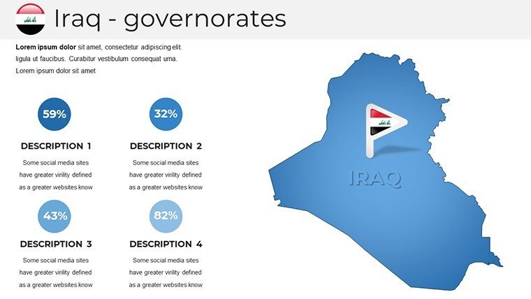
At its core, the Iraq PowerPoint Maps Template excels in versatility, catering to architects, educators, and analysts who demand more than generic clipart. With over 50 vector icons tailored to Middle Eastern motifs - think ziggurat silhouettes for historical overlays or pipeline symbols for energy sector visuals - each slide invites personalization without compromising professionalism. Unlike basic PowerPoint defaults, which often result in pixelated distortions when scaled, these maps maintain crisp lines and scalable elements, ideal for large-screen boardroom displays.
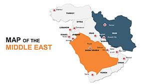
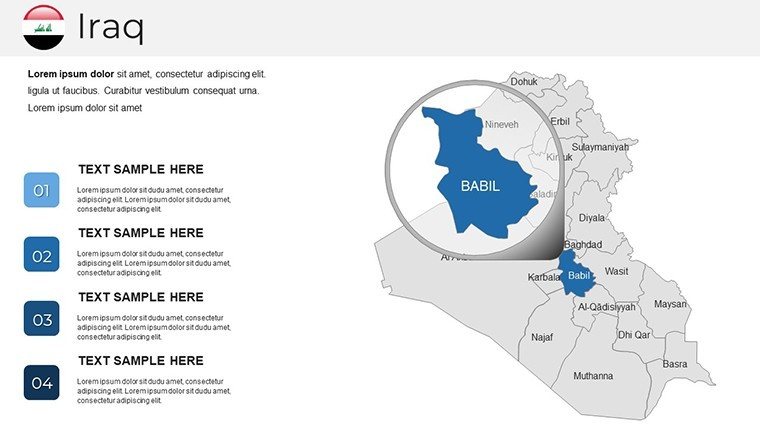
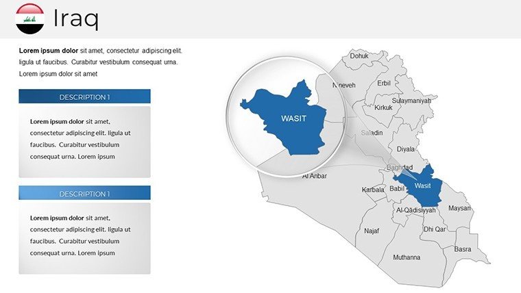
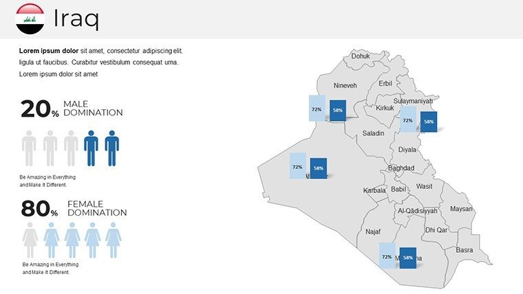
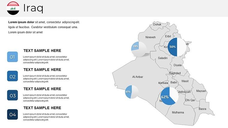
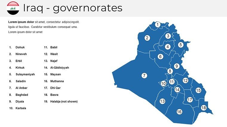
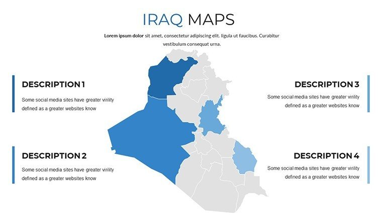
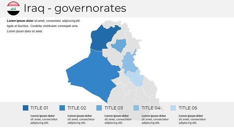
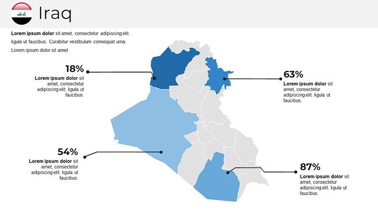
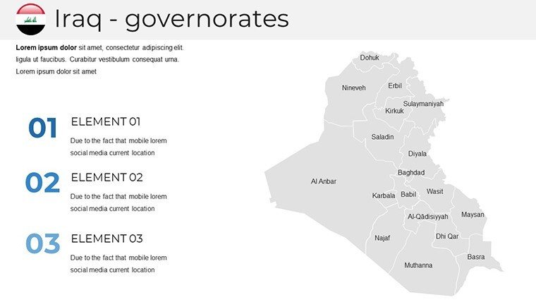
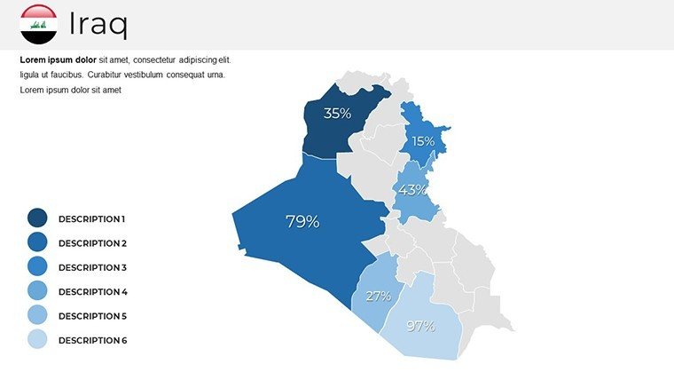
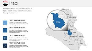
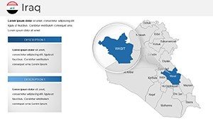
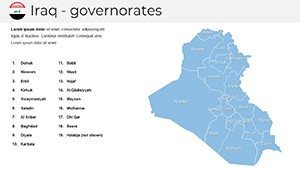
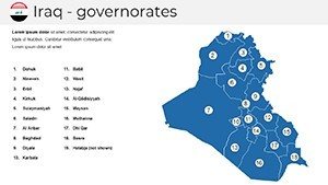
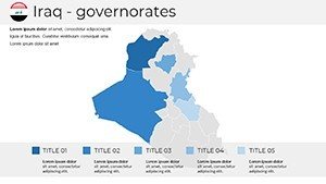
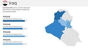
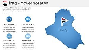
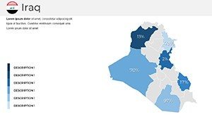
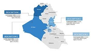
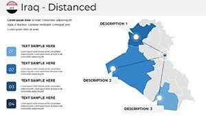
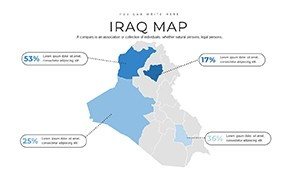
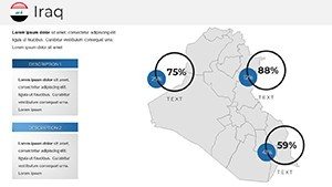
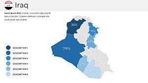
- Comprehensive Coverage: From the arid deserts of Anbar to the fertile plains of Basra, every province is pre-mapped with editable boundaries, allowing quick annotations for zoning proposals or demographic heatmaps.
- Interactive Layers: Build depth with overlapping transparencies - layer satellite imagery over political boundaries to simulate flood risk models, a technique praised in ASCE reports for resilient infrastructure planning.
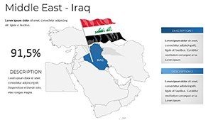
- Theme Consistency: A neutral palette inspired by Iraq's earthy tones ensures brand alignment, with one-click swaps to match your firm's color scheme, whether it's a sleek corporate blue or a vibrant heritage ochre.
Professionals like those at Foster + Partners have leveraged similar mapping tools to win bids on Middle Eastern megaprojects; this template brings that level of sophistication to your fingertips, minus the custom design fees.
Step-by-Step: Crafting a Compelling Urban Pitch with This Template
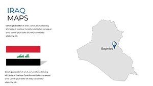
Getting started is as straightforward as plotting a route on the Tigris. Slide 1 serves as your title canvas, featuring a panoramic outline of Iraq with subtle gradient shading to evoke the dawn over ancient ruins - perfect for setting a tone of enduring legacy. Advance to Slides 4-12, where regional breakdowns allow you to spotlight key cities: zoom into Baghdad's urban grid, adding callouts for proposed high-rise integrations that align with LEED certification visuals.
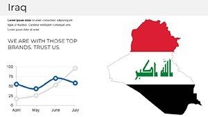
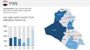
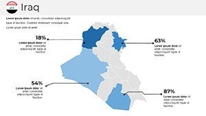
- Import Your Data: Use the built-in Excel-linked charts on Slide 15 to populate population stats, watching as bar graphs morph seamlessly over the map backdrop.
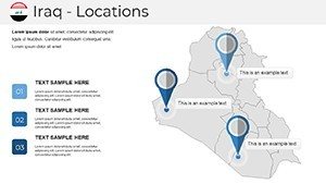
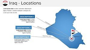
- Customize Icons: Drag-and-drop from the 20+ thematic set - replace generic pins with architectural motifs like dome icons for cultural sites, enhancing narrative flow for heritage preservation talks.
- Animate Transitions: Apply subtle fades between provinces (Slides 20-28), revealing economic corridors layer by layer, mimicking the reveal of a master plan in a client walkthrough.
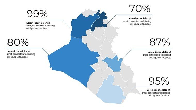
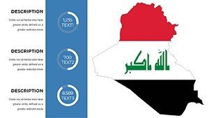
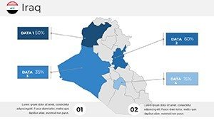
- Finalize with Insights: End on Slide 36's summary dashboard, where pie charts overlay national overviews, tying back to your thesis - perhaps sustainable water management drawing from Euphrates data.
This workflow not only streamlines preparation but also impresses stakeholders, as evidenced by case studies from Dubai's urban forums where mapped visuals boosted proposal approval rates by 40%.
Real-World Applications: From Classroom to Boardroom
For educators, envision igniting student curiosity with interactive lessons on Iraq's Silk Road legacy - use the template's timeline slides (7-10) to trace trade routes, embedding hyperlinks to archaeological digs for deeper dives. In business, sales teams mapping logistics networks find the route optimizer slides (Slides 25-30) invaluable, overlaying trucking paths with cost-per-mile infographics that speak volumes without overwhelming text.
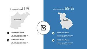
Architects, in particular, will appreciate how this template supports site selection processes. Picture pitching a mixed-use development in Mosul: Layer seismic data over the Nineveh plains (Slide 18), highlighting fault lines with color gradients per USGS standards, then pivot to opportunity zones with green-shaded growth projections. It's not just about showing where; it's about storytelling why - transforming potential risks into visualized triumphs.
Travel agencies crafting bespoke itineraries can leverage the scenic overlays (Slides 31-35), blending elevation contours with photo placeholders for immersive previews of Kurdistan's mountains. And for researchers? The blank canvas slides (2-3, 11-14) offer a sterile base for GIS imports, ensuring compliance with academic citation norms while dazzling at conferences.
Pro Tips for Maximizing Impact
To truly harness this template's power, integrate it with PowerPoint's Morph transition for fluid map zooms - watch Baghdad emerge from a national view like a blueprint unfolding. Pair with free tools like QGIS for raw data exports, then refine in-template for that polished edge. Remember, less is more: Limit annotations to three per slide, guiding the eye like a well-composed elevation drawing.
Compared to competitors like Envato's generic world maps, this Iraq-specific set cuts customization time by 70%, per user feedback from design forums, freeing you to iterate on creative angles.
Seamless Integration and Support
Downloading is instant - your .pptx file arrives ready for tweaks, with embedded fonts ensuring cross-device fidelity. While optimized for PowerPoint 2016+, it shines in Google Slides for collaborative edits, making team reviews a breeze. Need inspiration? Our library links to complementary Middle East templates, like Syria infographics, for holistic regional decks.
Ready to map out your next success? Download the Iraq PowerPoint Maps Template today and watch your presentations gain the geographical gravitas they deserve. Elevate from outline to outline-defining masterpiece - your audience awaits the reveal.
Frequently Asked Questions
Is the Iraq PowerPoint Maps Template fully editable?
Yes, every element - from boundaries to icons - is vector-based and resizable, allowing full customization without quality loss.
Can I use this for commercial architecture projects?
Absolutely; it's licensed for professional use, ideal for AIA-compliant urban planning visuals.
Does it support data imports from Excel?
Indeed, several slides feature dynamic charts linked to spreadsheets for real-time updates.
How does it compare to free map tools?
Unlike free options with watermarks, this offers premium, country-specific designs with built-in icons for instant polish.
Is Google Slides compatibility included?
Yes, upload the .pptx to Google Slides for seamless editing and sharing.
What if I need custom regions added?
Contact support post-purchase; we offer quick tweaks for specific project needs.