Russia PowerPoint Maps Template: Precision for Every Presentation
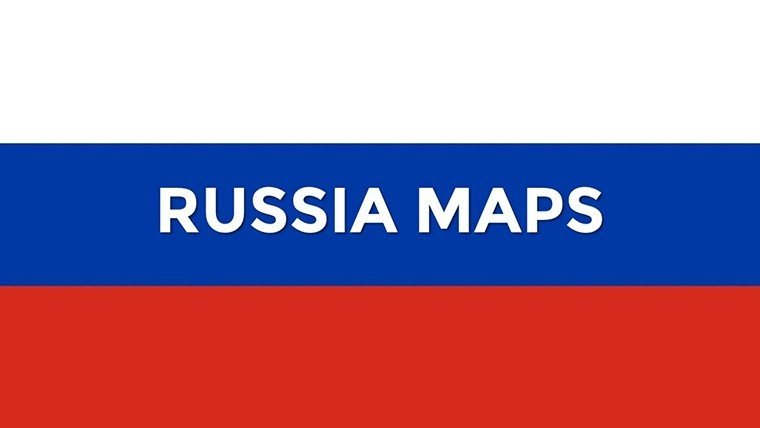


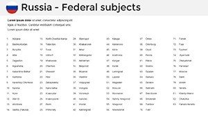


Navigating the expansive terrain of Russia in your presentations just got simpler and more visually striking with our dedicated Russia PowerPoint Maps Template. Boasting 34 meticulously crafted, editable slides, this resource is tailored for PowerPoint users who demand accuracy and flair in their work. From detailing the federal districts spanning from Kaliningrad to Vladivostok, to zooming into urban centers like Moscow and Novosibirsk, or exploring Siberian vastness, this template equips you to present geographical insights with confidence. Business leaders can map out market penetration strategies, educators can dissect historical migrations, and analysts can overlay economic trends - all within a framework that's as adaptable as it is professional. Drawing on principles of effective visualization from sources like the Harvard Business Review, which stresses the importance of context in data maps, this template avoids clutter, focusing on scalable elements that enhance comprehension. Say goodbye to generic slides and hello to a tool that amplifies your message, saving time while elevating engagement in boardrooms, classrooms, or conferences.
Key Features That Set This Template Apart
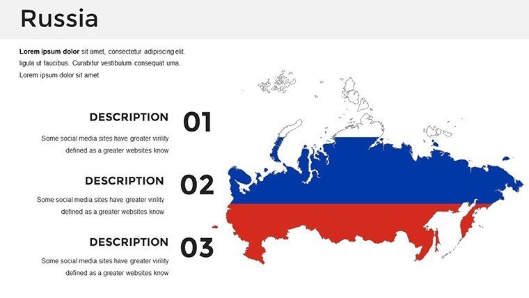
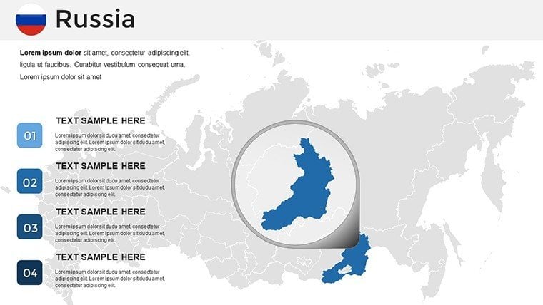
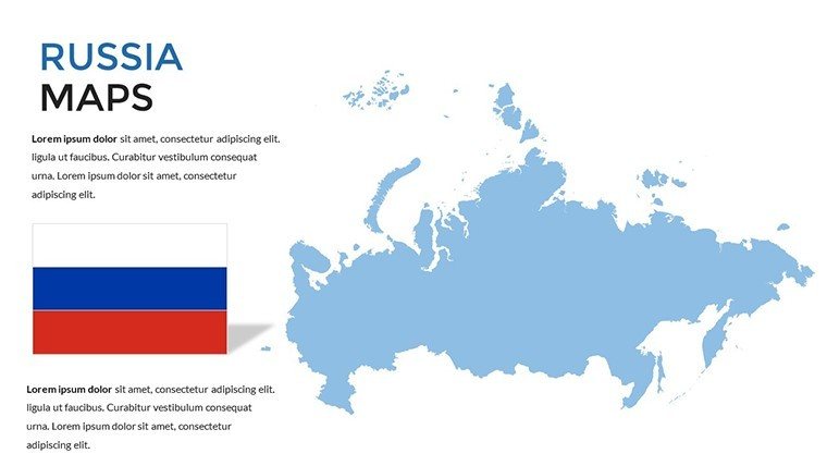
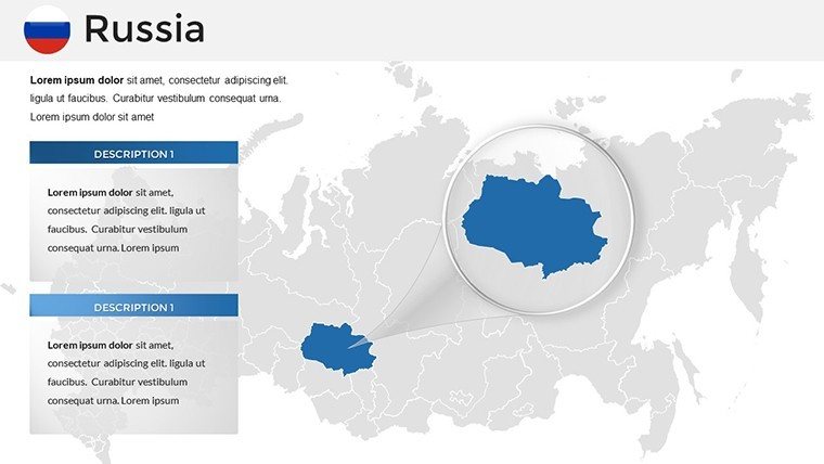
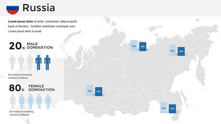
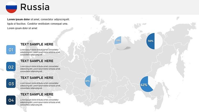
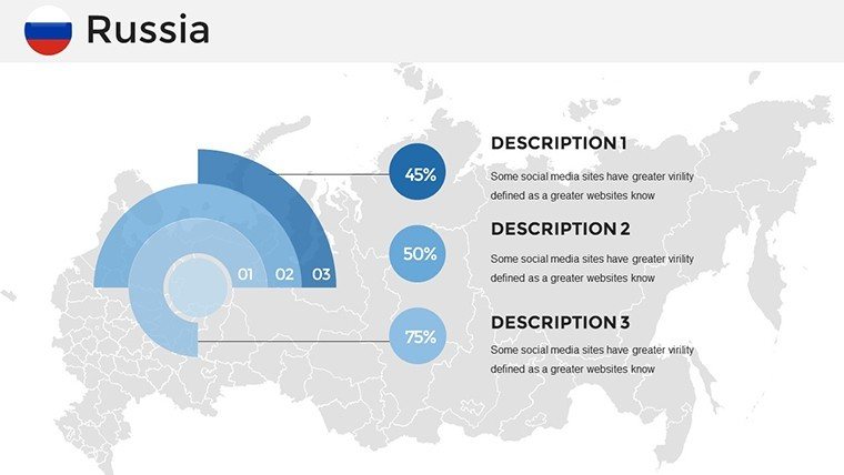
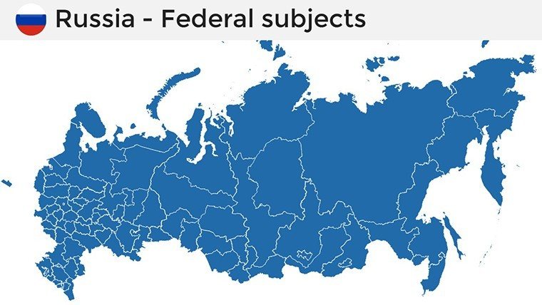
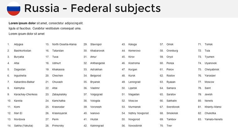
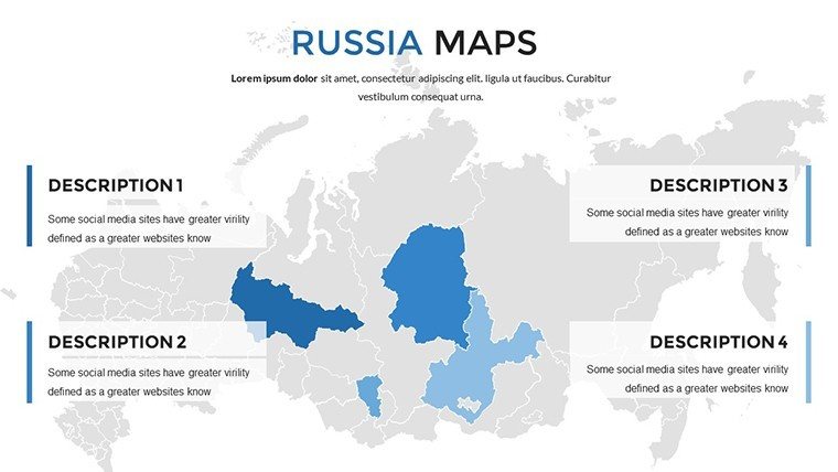
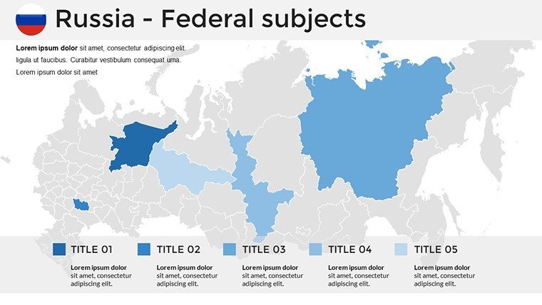
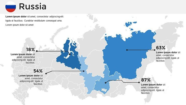
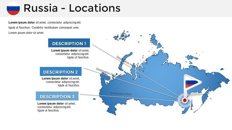
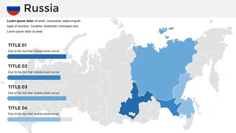
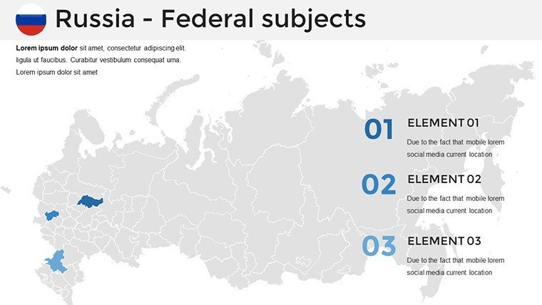
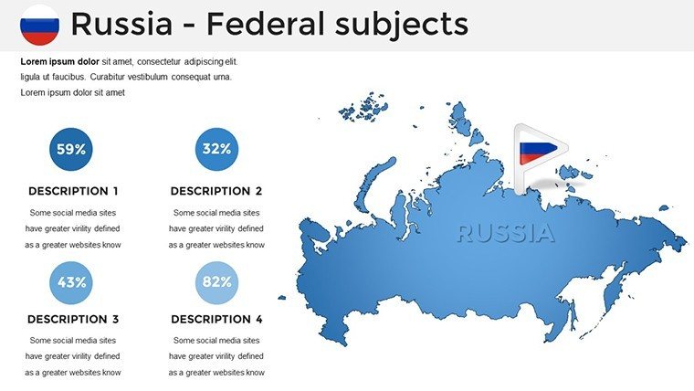
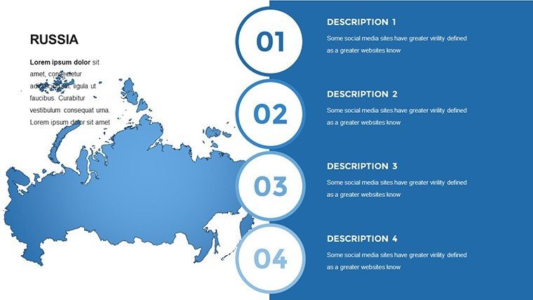
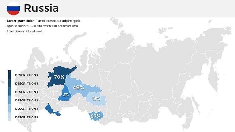
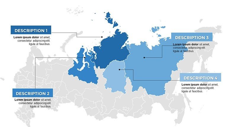
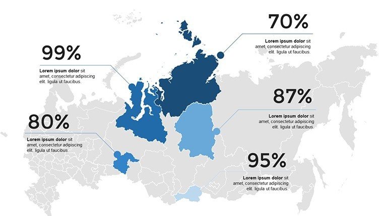
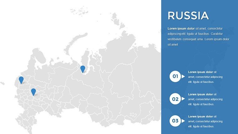
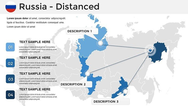
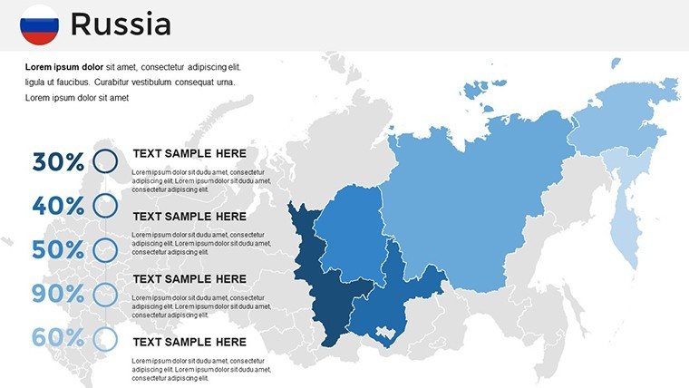
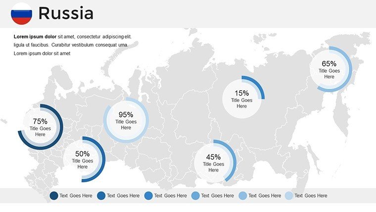
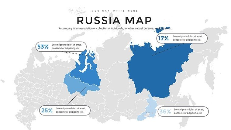
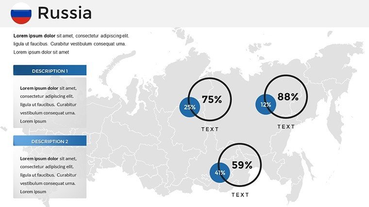
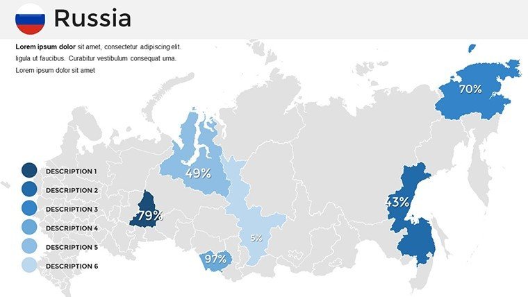
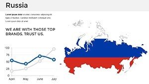
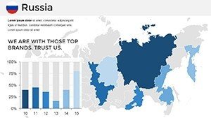
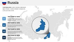
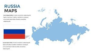
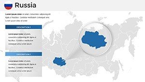
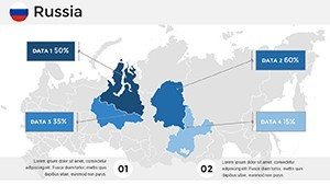
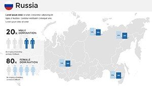
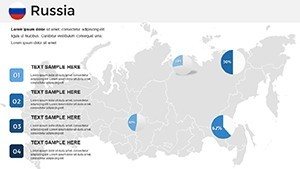
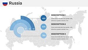
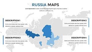
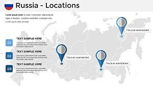
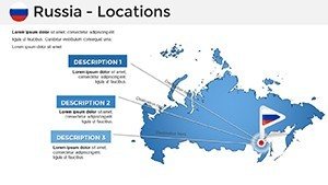
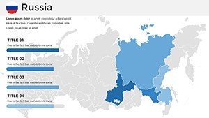
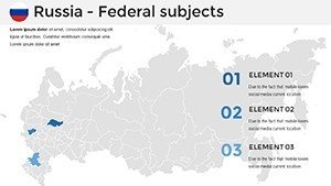
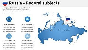
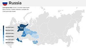
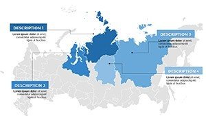
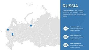
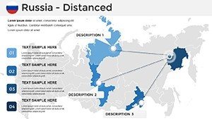
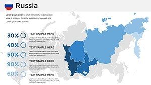
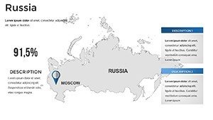
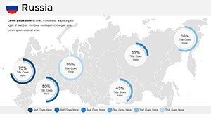
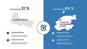
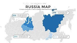
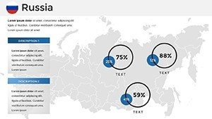
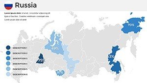
The foundation of our Russia maps lies in their detailed yet flexible design. Begin with overview slides showcasing Russia's entire federation, complete with editable borders and labels for custom annotations. Regional maps break down the eight federal districts, allowing you to highlight economic hubs like the Central District or resource-rich Far East. City-specific slides focus on metropolises, enabling precise data placement - think population stats on St. Petersburg or infrastructure in Yekaterinburg. Interactive elements, such as clickable regions leading to detailed sub-slides, add depth, perfect for layered presentations.
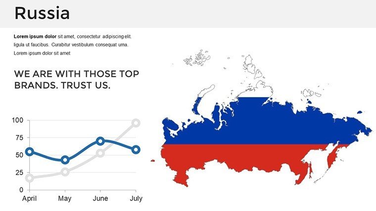
Customization in PowerPoint is seamless: Alter color palettes to reflect seasonal themes (e.g., winter whites for Siberian reports) or brand guidelines. Integrate charts directly onto maps for visualizing GDP distributions or trade routes across the Trans-Siberian Railway. The template's vector graphics ensure no quality loss during resizing, adhering to Microsoft's best practices for high-fidelity visuals. Additional features include icon sets for landmarks - like the Kremlin or Lake Baikal - and timeline integrations for chronological analyses, such as Russia's post-Soviet economic shifts.
Streamlining Your Design Process
Power users will appreciate the template's compatibility with PowerPoint's advanced tools, like morph transitions for smooth map zooms or data import from Excel for real-time updates. For beginners, the intuitive layout means quick edits without tutorials. This efficiency mirrors workflows used by top consultancies, where map-based templates cut design time significantly, as noted in case studies from McKinsey Quarterly.
Versatile Applications Across Industries
In the business realm, envision a logistics firm using these maps to optimize supply chains, marking routes from European Russia to Asia with color-coded efficiency metrics. For education, a seminar on geopolitics could employ district maps to discuss federalism, incorporating historical overlays for engaging discussions. Travel agencies might customize city slides to promote tours, adding photos and itineraries for vivid proposals.
Geopolitical analysts benefit from slides that support complex data layers, like overlaying military bases or energy pipelines, drawing from reliable sources such as the CIA World Factbook for accuracy. Research projects gain traction with visual aids for grant proposals - e.g., mapping biodiversity in the taiga for environmental studies. A real-world example: In 2024, a think tank utilized similar PPT maps to present Arctic strategy at an international summit, leading to policy influences, as covered in Foreign Affairs magazine.
Practical Steps to Implement the Template
- Acquire and Launch: Buy and open the .pptx file in PowerPoint.
- Choose Layouts: Select from 34 slides, starting with federal overviews.
- Tailor Content: Edit texts, colors, and add data via PowerPoint's ribbon.
- Enhance Interactivity: Add hyperlinks or animations for engagement.
- Test and Present: Rehearse in slideshow mode, then export as needed.
- Collaborate: Share via OneDrive for team inputs.
This step-by-step approach ensures polished outcomes every time.
Expert Tips for Russia-Focused Visuals
Opt for contrasting colors to differentiate vast regions, avoiding visual fatigue. Use legends sparingly but effectively, following cartographic standards from the International Map Association. For virtual settings, incorporate speaker notes with source citations to build credibility. Compared to stock PowerPoint shapes, this template's pre-mapped accuracy prevents distortion issues common in DIY efforts.
Ultimately, this Russia PowerPoint Maps Template is more than slides - it's a strategic asset for conveying the complexities of the world's largest country with ease and impact. Secure yours now and redefine how you present Russia.
Frequently Asked Questions
What versions of PowerPoint does this support?
Compatible with PowerPoint 2010 and later, including Microsoft 365.
Are the maps based on current political boundaries?
Yes, updated to reflect 2023 boundaries for accuracy.
Can I add my own data to the maps?
Certainly - import from Excel or manually edit for custom visualizations.
Is there a limit on usage?
No, unlimited personal and commercial use post-purchase.
How do I handle large-scale prints?
Vector format ensures clarity; export to PDF for printing.