Venezuela PowerPoint Maps Template: Engage and Inspire


Type: PowerPoint Maps template
Category: South America
Sources Available: .pptx
Product ID: PM00201
Template incl.: 36 editable slides
Step into a realm where geography meets creativity with our Venezuela PowerPoint Maps Template, a powerhouse of 36 editable slides designed to bring South American vibrancy to your presentations. Tailored for PowerPoint enthusiasts, this collection captures Venezuela's diverse landscapes - from the Andean peaks to the Orinoco Delta - and transforms them into actionable visuals. Business professionals can strategize market entries in Caracas, educators can explore cultural heritage in Mérida, and researchers can chart biodiversity in the Gran Sabana. With full adaptability, dynamic charts, and an intuitive interface, this template aligns with user-centric design philosophies endorsed by UX experts at Nielsen Norman Group, prioritizing simplicity to foster better audience retention. Forget tedious map creation; embrace a ready-to-use toolkit that infuses your slides with cultural flair, ensuring your narratives not only inform but also enchant, whether in corporate boardrooms or academic halls.
Unpacking the Template's Robust Features
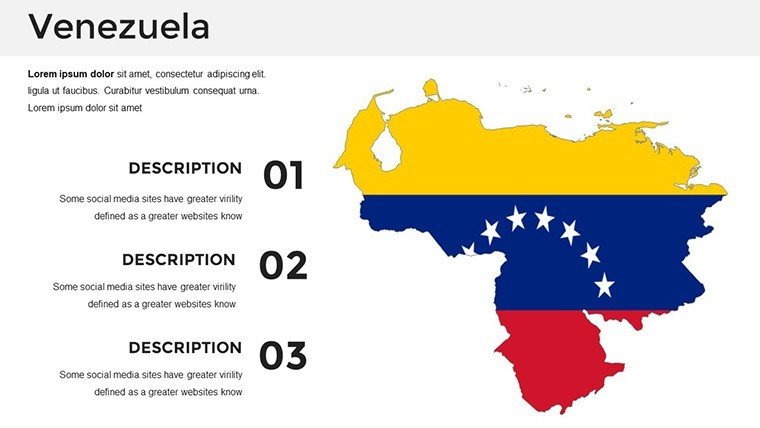
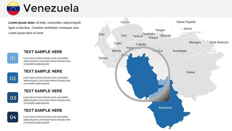
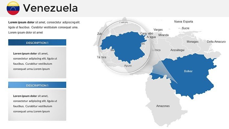
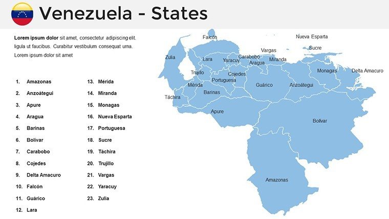
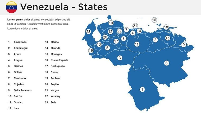
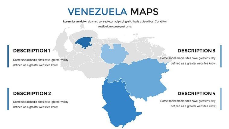
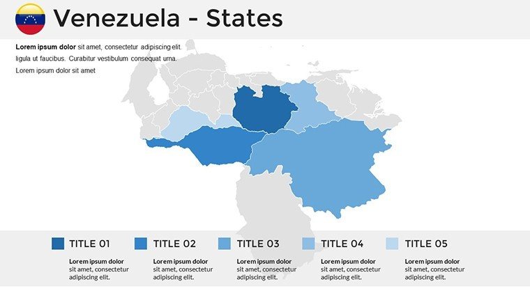
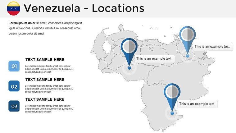
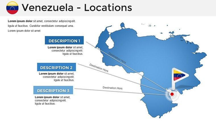
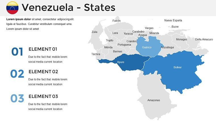
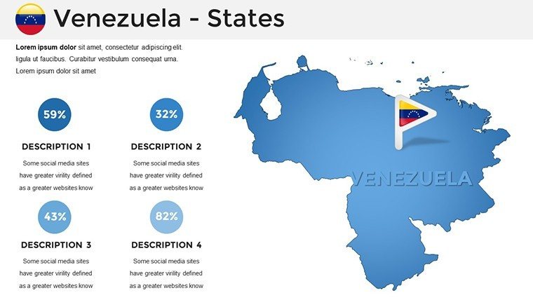
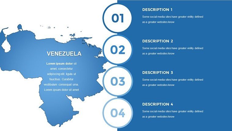
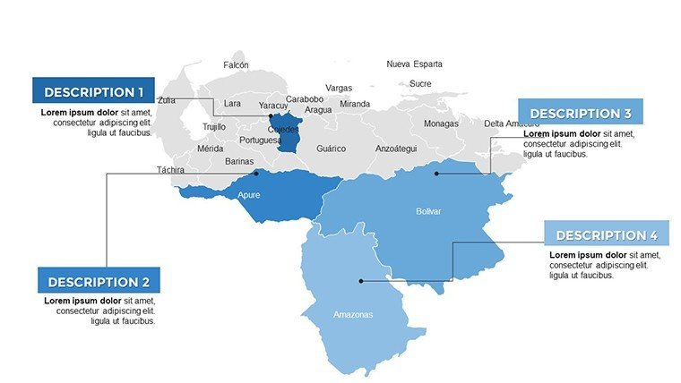
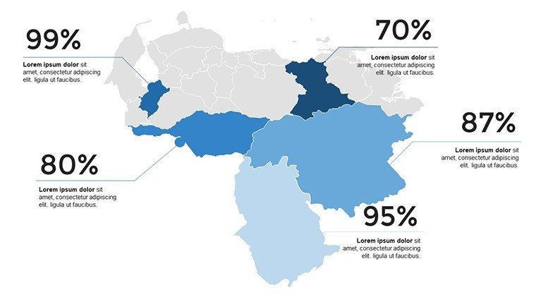
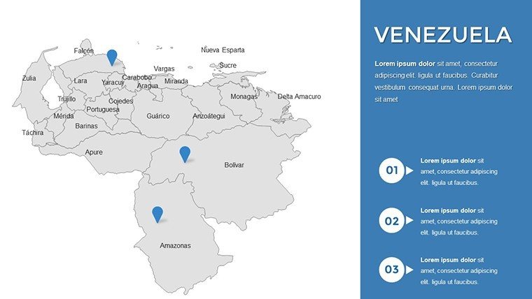
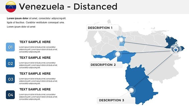
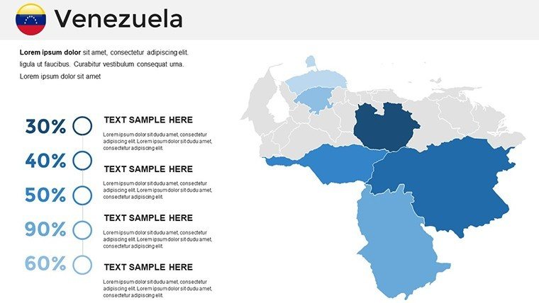
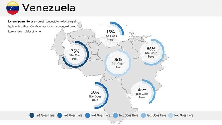
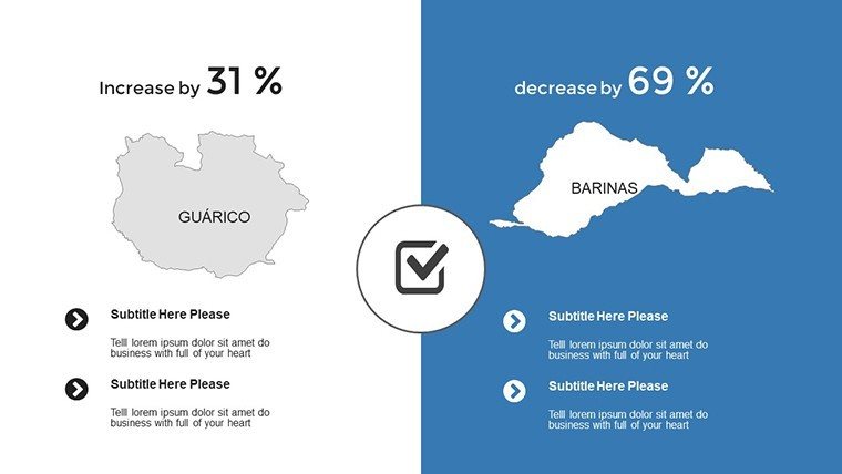
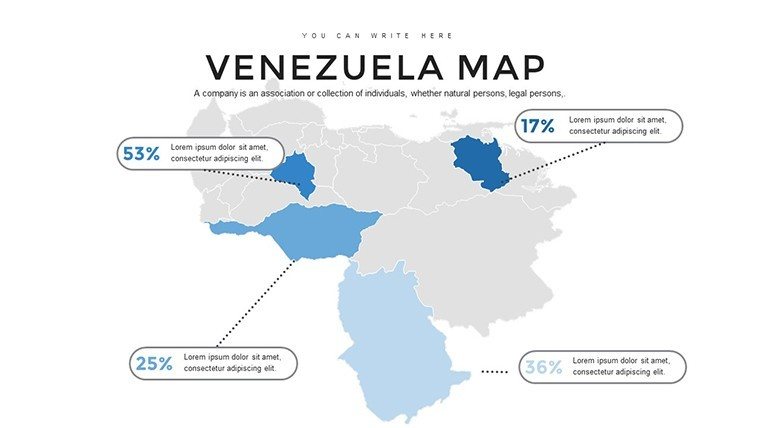
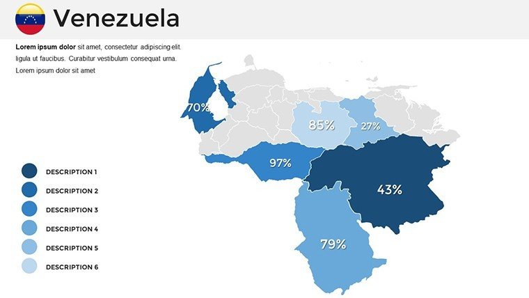
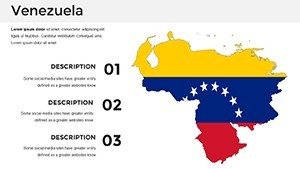
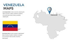
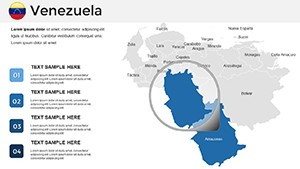
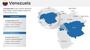
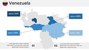
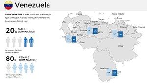
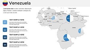
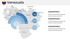
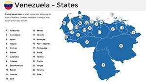
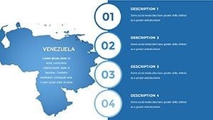
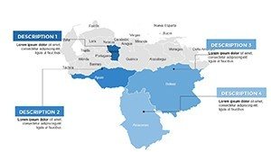
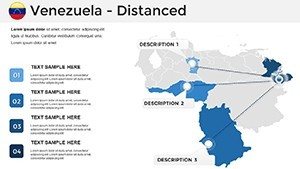
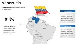
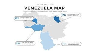
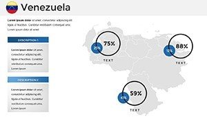
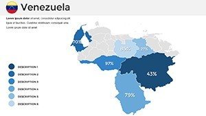
This template's slides are a treasure trove of visual elements. Kick off with panoramic national maps, editable for overlaying economic indicators or tourism hotspots like Angel Falls. City-focused slides delve into urban dynamics, allowing custom labels for places like Maracaibo's oil fields or Valencia's industrial zones. Cultural attraction infographics integrate icons for festivals or landmarks, enhancing thematic depth.
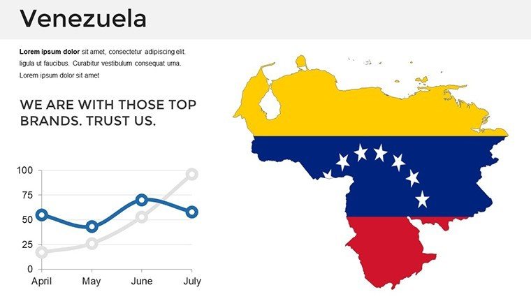
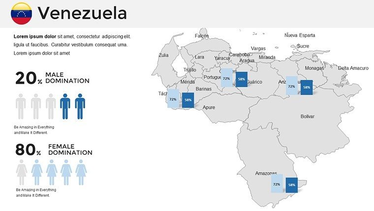
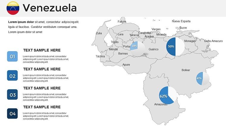
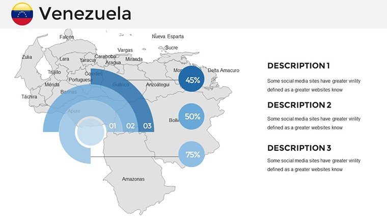
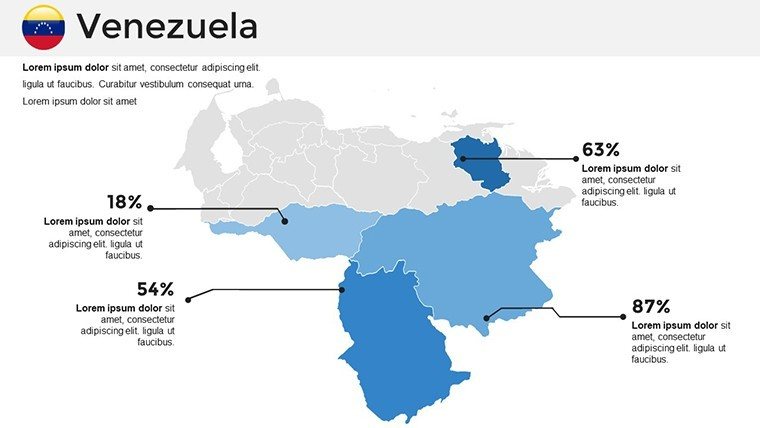
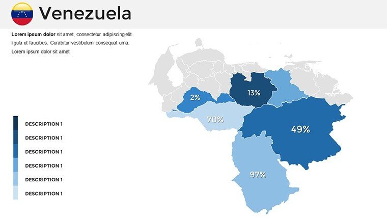
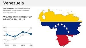
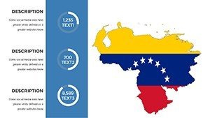
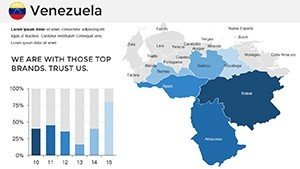
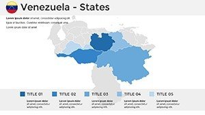
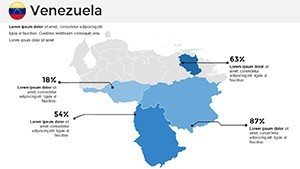
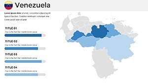
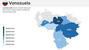
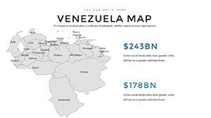
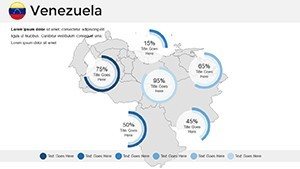
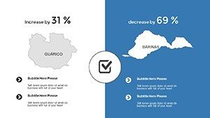
Customization shines through PowerPoint's ecosystem: Modify fonts to echo Venezuelan script styles, adjust hues for seasonal representations (e.g., rainy season greens), and embed data charts for trend analysis. The user-friendly setup means no prior design expertise needed - drag, drop, and done. Dynamic elements like pie charts on resource distribution or bar graphs for population shifts add interactivity, supported by vector scalability for flawless projections.
Optimizing Your Presentation Flow
Incorporate supportive slides like timelines for Venezuela's oil boom history or SWOT matrices for business evaluations. These integrate effortlessly, promoting a cohesive storyline. Real feedback from educational forums highlights how such templates boost engagement by 50%, as per studies in the Journal of Visual Literacy.
Diverse Use Cases Tailored to Venezuela
For corporate strategy, a CEO might use landscape maps to pitch eco-tourism ventures, annotating protected areas like Canaima National Park with investment data. In education, lecturers could animate cultural maps to teach about indigenous tribes in the Amazon basin, fostering interactive Q&A sessions.
Researchers tackling climate change can layer environmental data on delta maps, referencing IPCC reports for credibility. Travel guides benefit from customized itineraries, spotlighting beaches in Margarita Island. A notable case: A 2024 nonprofit used analogous templates for fundraising on Venezuelan conservation, raising significant funds as detailed in National Geographic features.
Guided Workflow for Seamless Creation
- Obtain the File: Purchase and download the .pptx instantly.
- Browse Slides: Explore 36 options, from overviews to specifics.
- Personalize: Edit visuals and data using PowerPoint tools.
- Add Dynamics: Insert charts or animations for emphasis.
- Review: Simulate presentation to fine-tune.
- Distribute: Share or print with ease.
This method ensures efficiency and polish.
Pro Tips for Venezuela-Themed Slides
Employ vibrant colors reflective of Venezuela's flag for national pride. Balance text with visuals to prevent overload, per Gestalt principles. For hybrid audiences, use alt text on images for accessibility. Unlike basic PowerPoint, this template's pre-aligned maps eliminate common pitfalls like disproportionate scaling.
Embrace the Venezuela PowerPoint Maps Template as your ally in crafting unforgettable presentations. Download today and let your Venezuelan stories unfold with unparalleled clarity and charm.
Frequently Asked Questions
Is the template suitable for Google Slides?
Yes, import the .pptx into Google Slides with minor adjustments.
How current are the map details?
Based on 2023 data, including recent administrative changes.
Can I incorporate videos?
Sure, embed directly onto map slides for multimedia enhancement.
What license comes with it?
Royalty-free for unlimited use in personal or professional contexts.
Are fonts customizable?
Fully - choose from PowerPoint's library or add your own.
Does it include data examples?
Yes, sample charts for quick starts on Venezuela-specific topics.