 Click to zoom
Honduras Map PowerPoint Template | Fully Editable 36 Slides & Infographics - Instant Download
| Format | .pptx |
| Slides | 36 unique layouts |
| Aspect ratio | 16:9 |
| Compatibility | PowerPoint |
| Animated | No |
| Language | English |
| License | Commercial |
| File size | — |
| Version | v1.0 |
| Last updated | February 2026 |
What's inside
Visualize Honduras` geography, economy, and opportunities with professional clarity using this fully editable map template for PowerPoint. Designed for analysts, consultants, educators, and strategists who need accurate departmental maps without spending hours building them from scratch.
When and Why to Use This Template
Use it when presenting regional market analysis in Tegucigalpa, environmental conservation plans for the Rio Platano Biosphere, or historical timelines in classrooms. It turns raw data into compelling geographic stories that drive decisions and capture attention in boardrooms or lecture halls.
Business teams map logistics networks across departments. NGOs overlay biodiversity metrics on national parks. Educators animate migration patterns. Every slide maintains professional fidelity whether projected on large screens or printed as handouts.
How to Use the Template
Open the .pptx file in PowerPoint 2010 or newer (also works in Google Slides). Replace placeholder data via simple copy-paste - smart objects auto-adjust. Recolor maps, resize elements, or swap icons using built-in tools. Start from the master slide for consistent branding across your deck.
Add your own images, charts, or text. Export to PDF, PNG, or SVG for reports and web use. Step-by-step guidance is included for quick onboarding.
Key Features
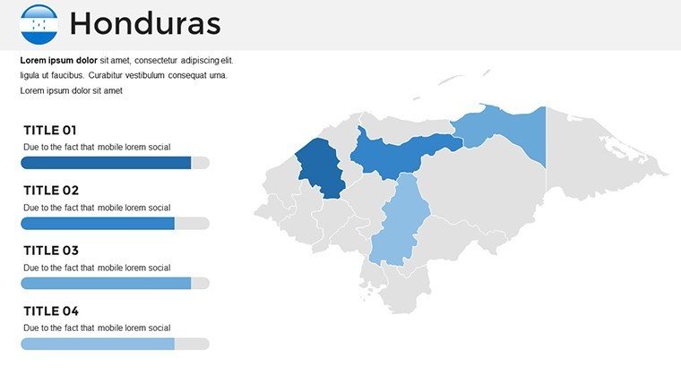
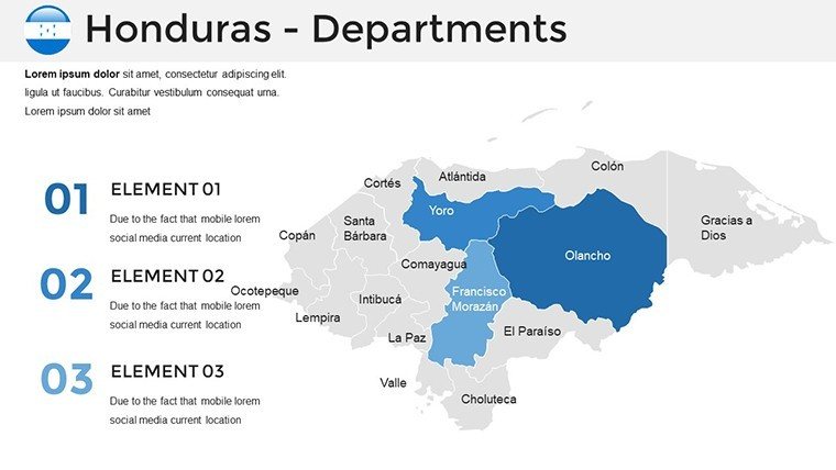
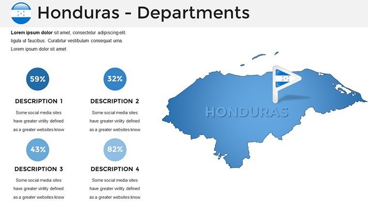
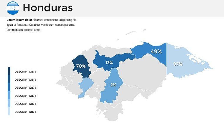
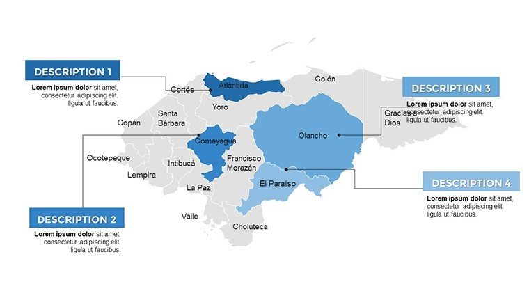
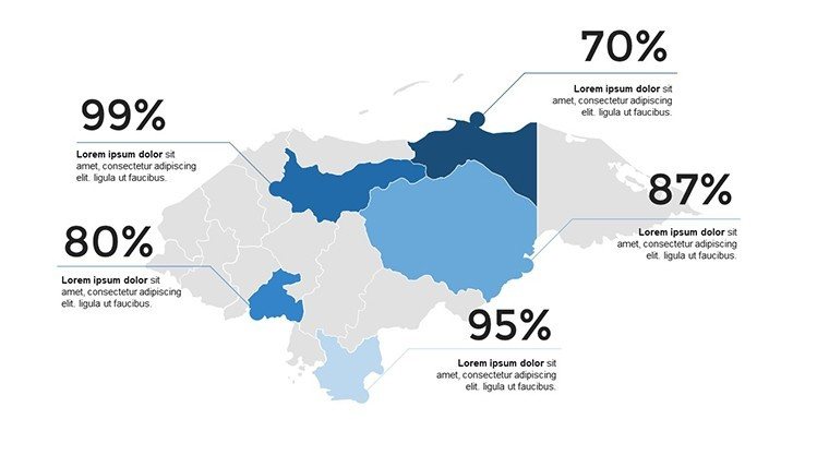
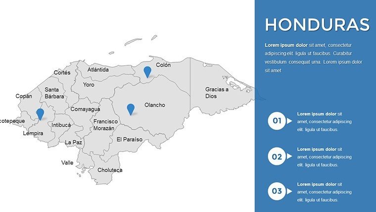
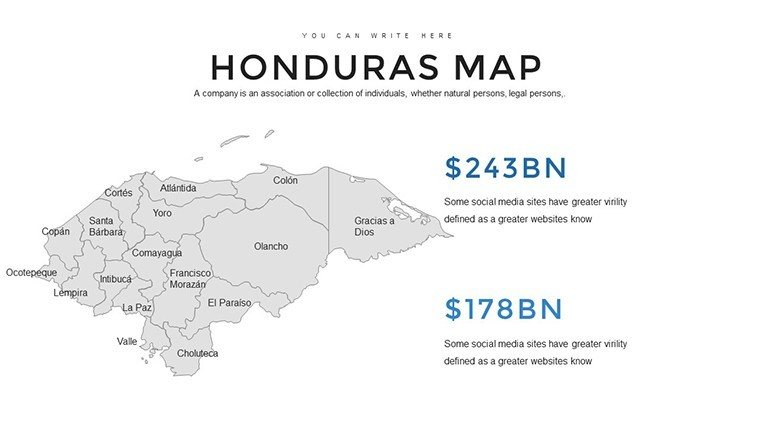
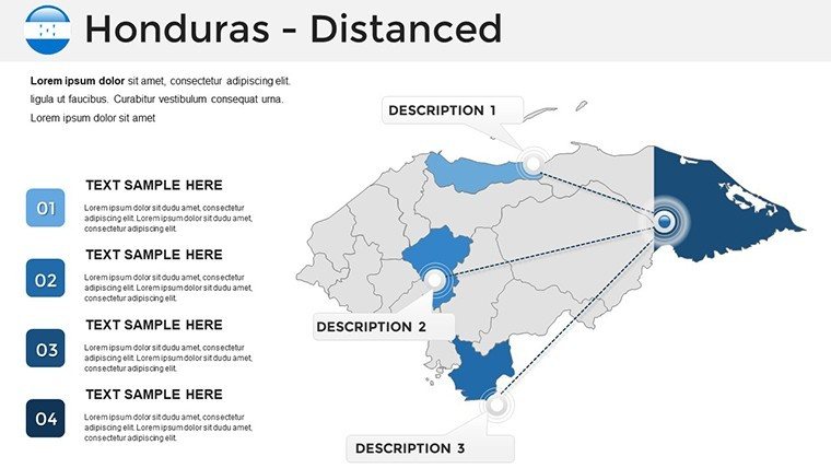
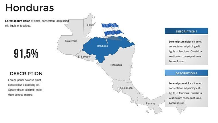
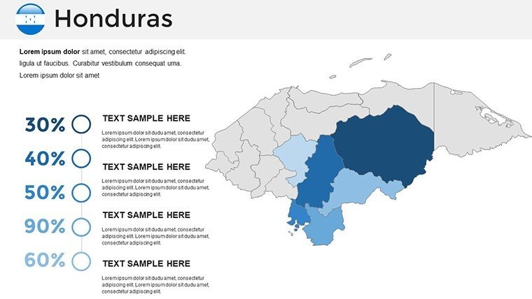
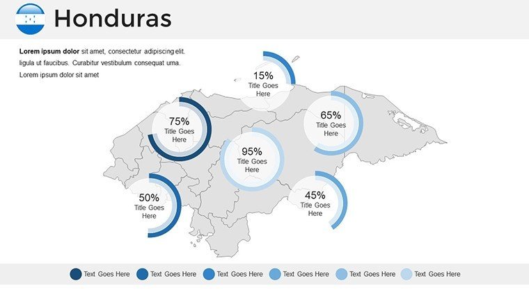
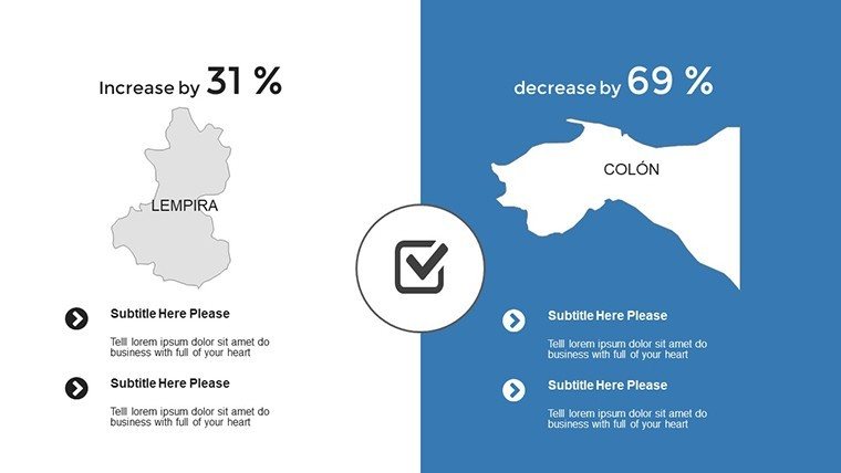
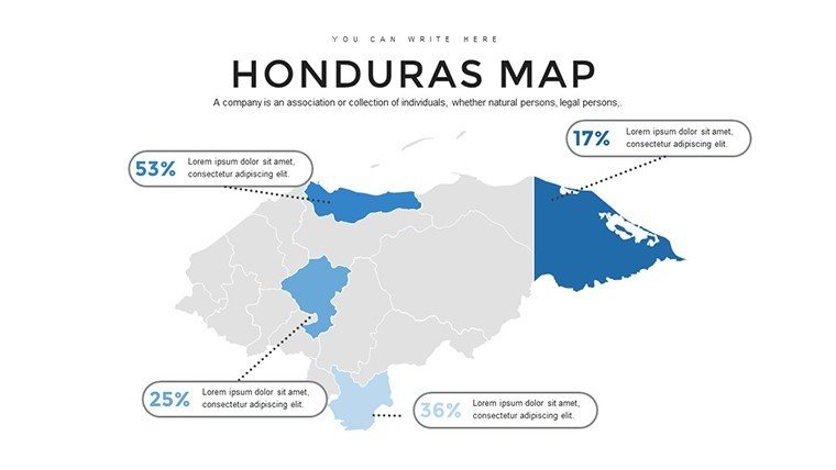
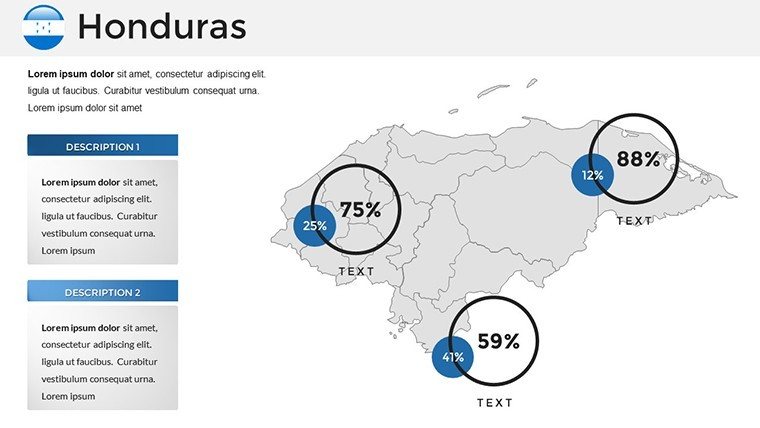
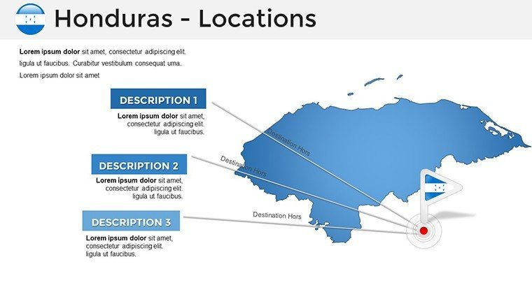
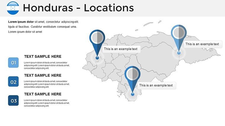
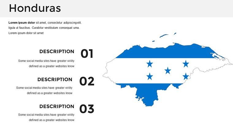
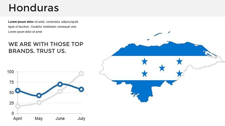
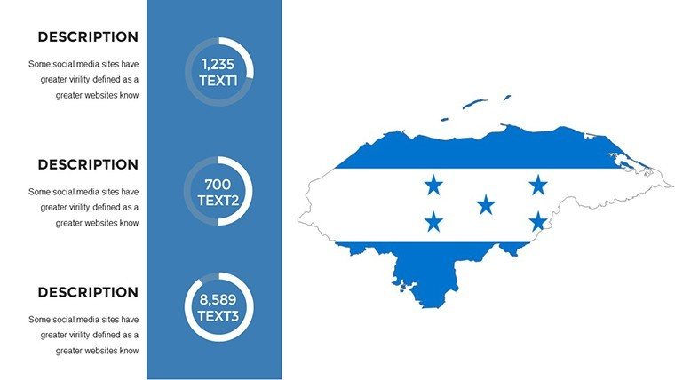
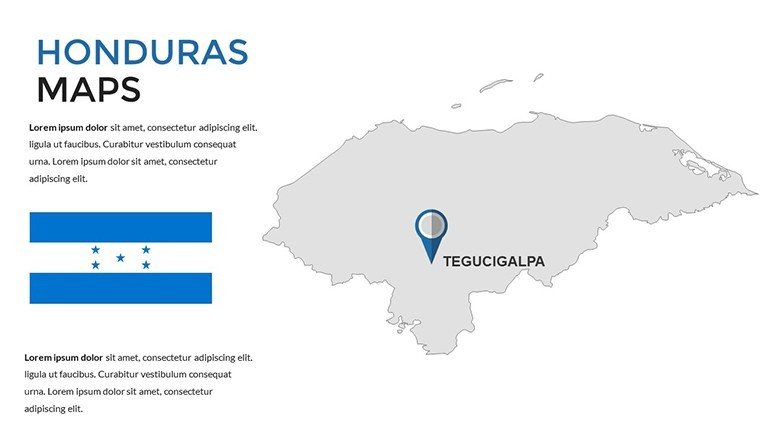
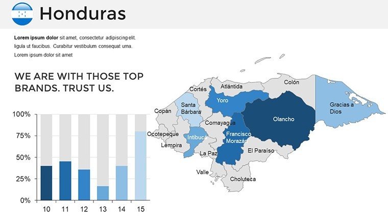
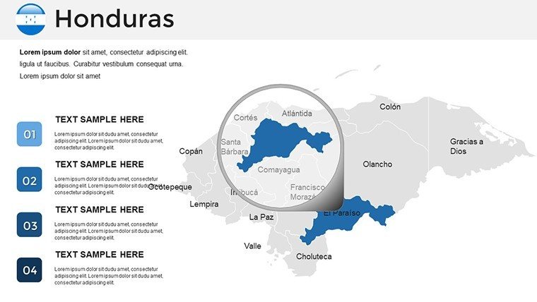
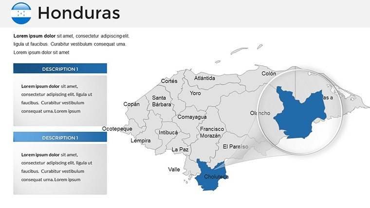
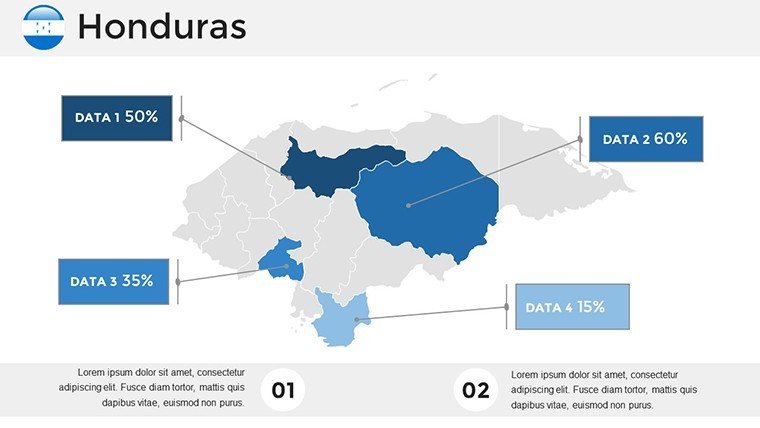
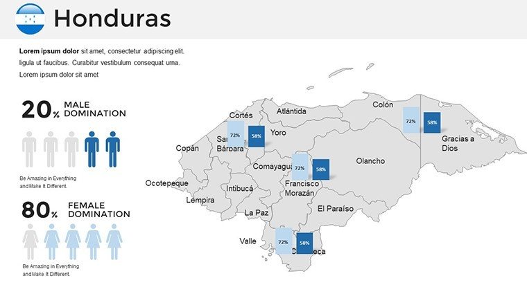
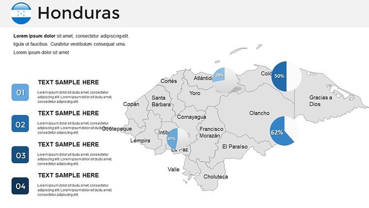
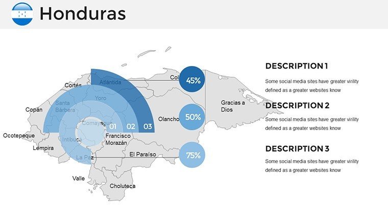
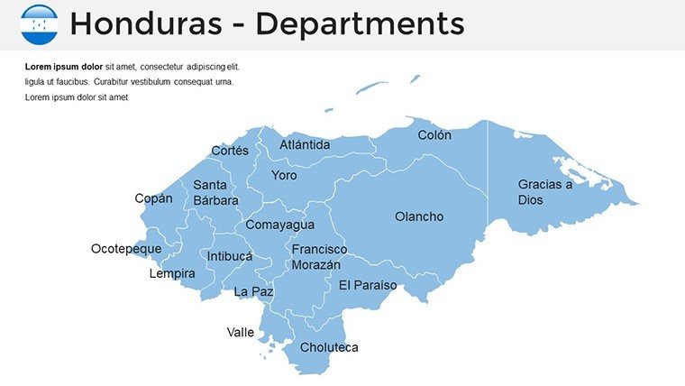
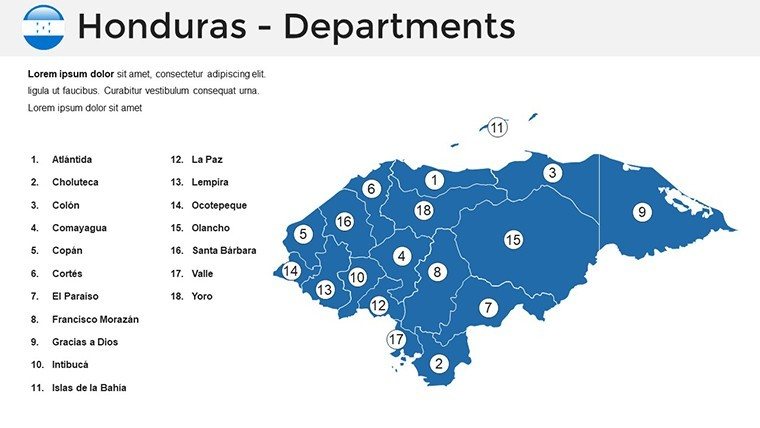
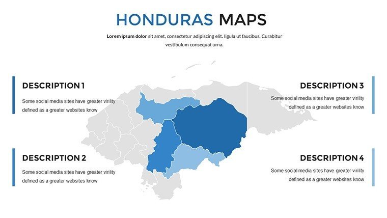
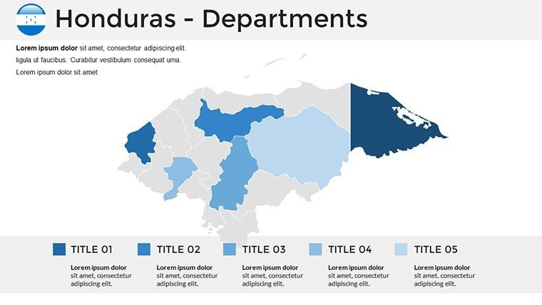
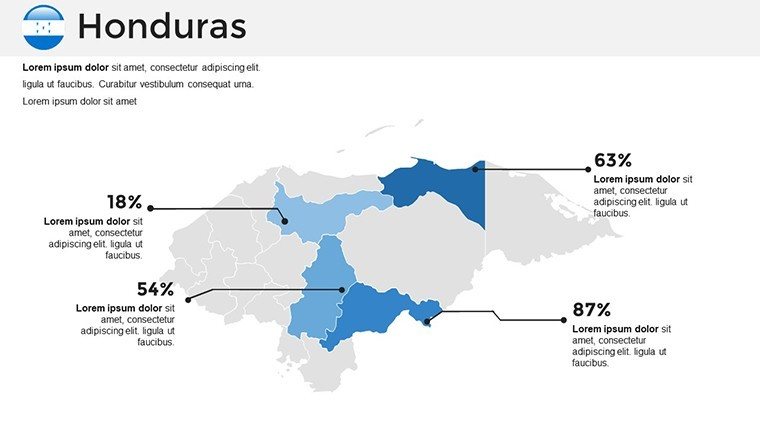
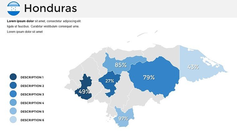
- 36 editable slides covering Honduras` 18 departments with hover highlights
- Versatile infographic suite including flowcharts, scatter plots, and timelines
- 60+ culturally relevant icons (coffee plantations, coral reefs, etc.)
- 10+ adaptive color schemes for corporate or vibrant presentations
- Fully compatible with PowerPoint 2010+ and Google Slides
FAQ
How many slides are included?36 fully editable slides with maps, infographics, and icons.
Is it compatible with Google Slides?Yes, the template works seamlessly in Google Slides for team collaboration.
Can I customize colors and icons?Absolutely - choose from 10+ color schemes and edit or replace any of the 60+ icons.
What file format is provided?Single .pptx file ready for immediate use.
Good for
- Project roadmaps and sprint plans
- Product launch timelines
- Quarterly or annual review decks
- Company history and milestone summaries
Licence
reviews
Needed something fast for a transport routes presentation and this helped.
The arrows and highlighted map areas were easy to edit.
Some slides felt overloaded with shapes but I simplified them.
Worked normally in PowerPoint without weird formatting issues.
Overall it saved me from searching for map graphics online.
FAQ
Will it work in Google Slides?
Are fonts embedded?
Can I use this for client work?
What's the refund policy?
Do you update the template after purchase?
Similar templates
See all PowerPoint Maps →

All 36 slides