Dominican Republic PowerPoint Maps Template: Vivid and Versatile


Type: PowerPoint Maps template
Category: Central America
Sources Available: .pptx
Product ID: PM00181
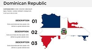
Template incl.: 36 editable slides
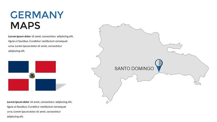
Picture this: You're pitching a tourism campaign, and your slides burst with the turquoise hues of Punta Cana's beaches and the lush greens of the Cordillera Central mountains. That's the power of our Dominican Republic PowerPoint Maps Template - a collection of 36 editable slides crafted to make your presentations pop. Tailored for travel marketers, business strategists, and educators, this template turns geographical data into captivating stories, whether you're mapping out hotel expansions in Santo Domingo or teaching about the island's shared history with Haiti.
With high-resolution graphics that shine on any screen, you can customize every detail to fit your narrative. Add markers for cultural hotspots like the Zona Colonial, a UNESCO World Heritage site, or overlay economic data from sources like the World Tourism Organization to show growth in visitor numbers. This isn't just about maps; it's about creating connections, drawing on design principles from experts like those at the American Society of Travel Advisors to ensure your visuals resonate and persuade.
For business users, imagine illustrating market penetration in the free trade zones of Santiago or analyzing export routes for amber and larimar jewelry. Educators can zoom into ecological zones, discussing biodiversity in Jarabacoa with interactive elements that engage students, much like successful modules in programs from the Smithsonian Tropical Research Institute.
Standout Features for Dynamic Presentations
What makes this template a must-have? It's the blend of beauty and functionality, inspired by the Dominican Republic's own vibrant culture - from merengue rhythms to colorful Carnival masks.
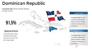
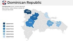
- Vivid Visuals: High-res maps capturing beaches, mountains, and cities with editable colors to evoke the island's energy.
- Multi-Platform Compatibility: Effortless use in PowerPoint, Google Slides, or Keynote for team collaborations.
- Intuitive Customization: Beginners can tweak labels and annotations quickly, no design degree needed.
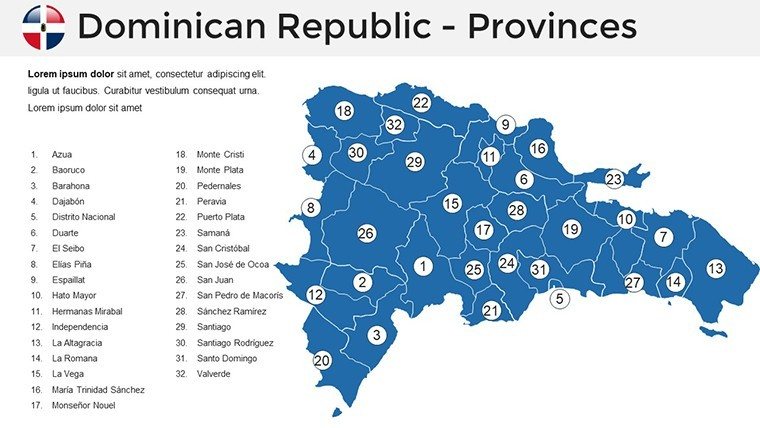
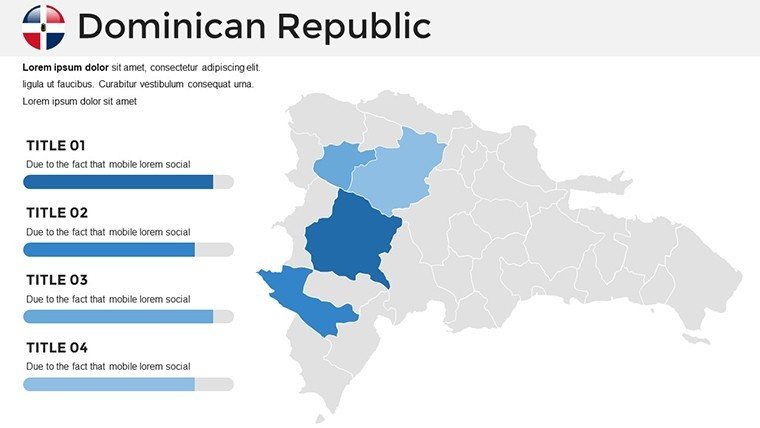
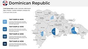
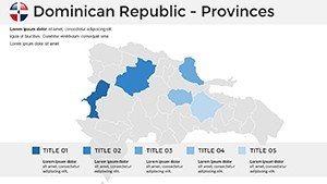
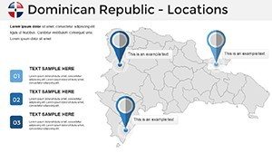
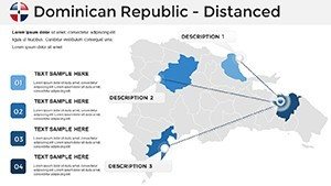
- Diverse Layouts: From overview maps to detailed regional breakdowns, including the Samaná Peninsula's whale-watching spots.
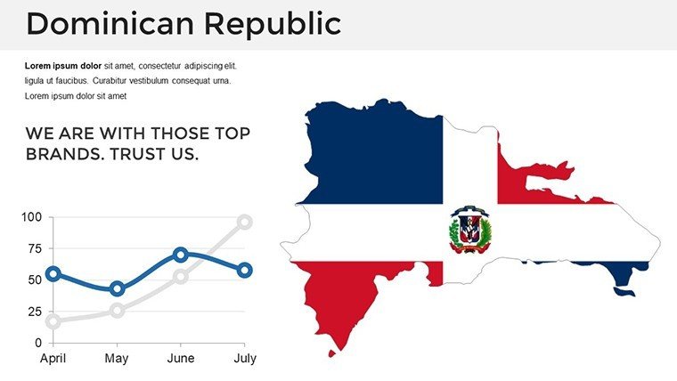
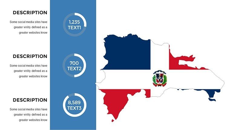
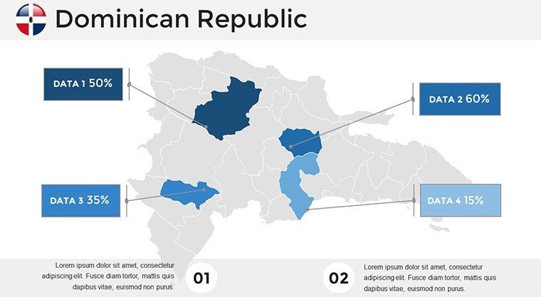
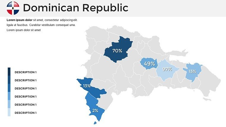
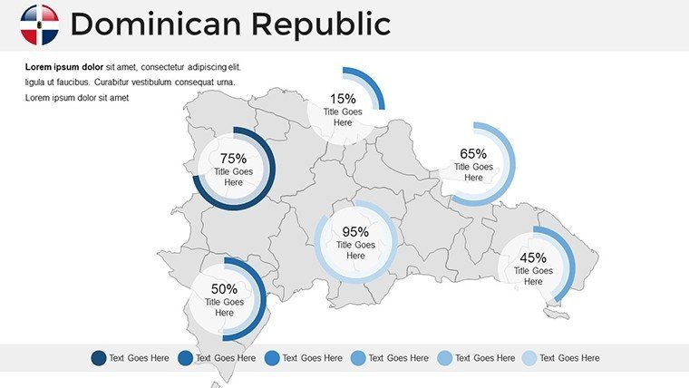
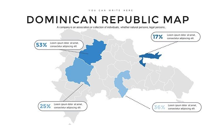
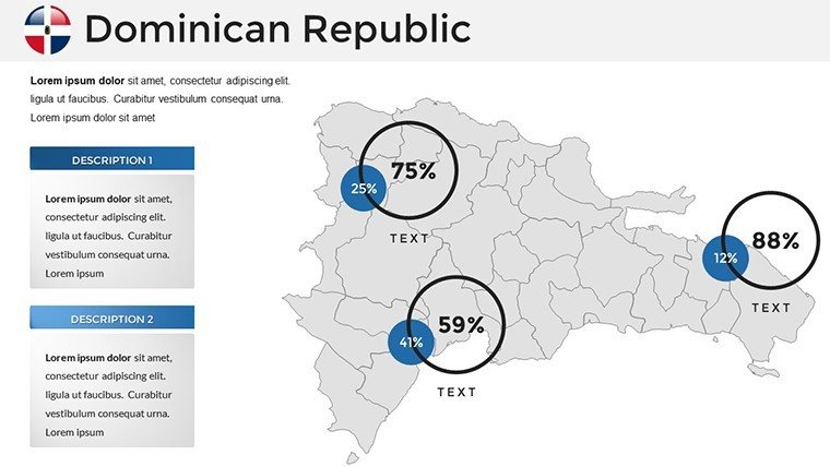
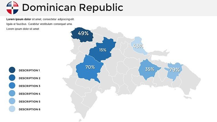
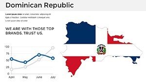
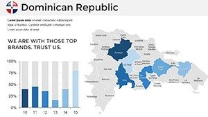
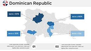
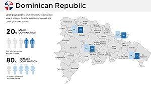
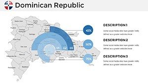
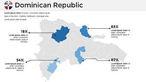
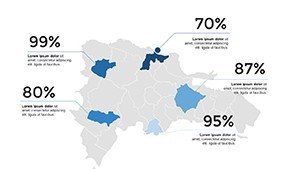
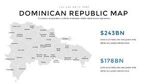
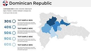
- Data Integration Tools: Built-in spaces for charts on tourism stats or GDP contributions from agriculture like cacao production.
These elements align with best practices in data visualization, as seen in reports from Gartner on how interactive maps boost decision-making by 25% in business contexts.
In-Depth Look at the Slides
Dive into the 36 slides, each a canvas for your creativity:
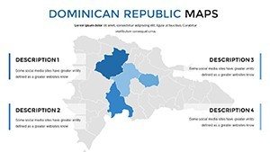
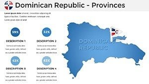
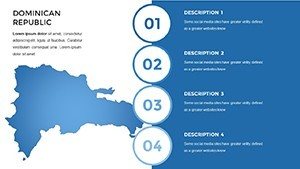
- Island Overview: Broad map for setting the scene in travel overviews.
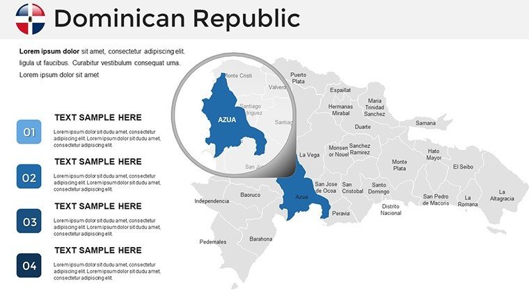
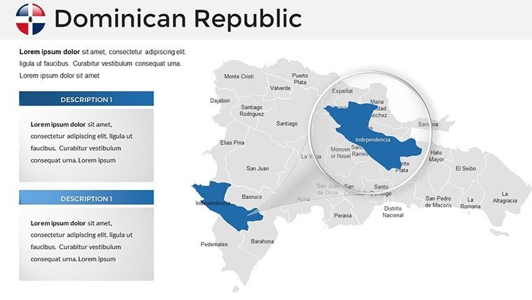
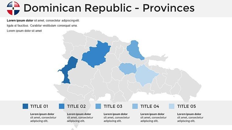
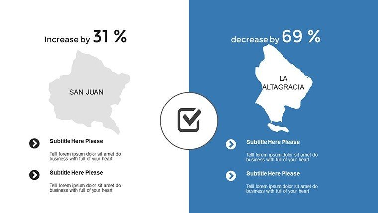
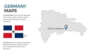
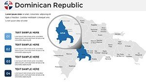
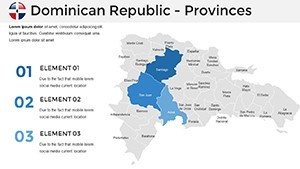
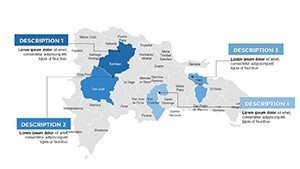
- Regional Zooms: Slides dedicated to areas like the Cibao Valley, perfect for agricultural analyses.
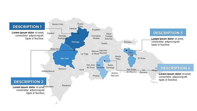
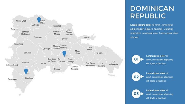
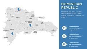
- City Spotlights: Editable views of Puerto Plata or La Romana, with icons for ports and airports.
- Eco-Maps: Highlight national parks like Los Haitises, for environmental education.
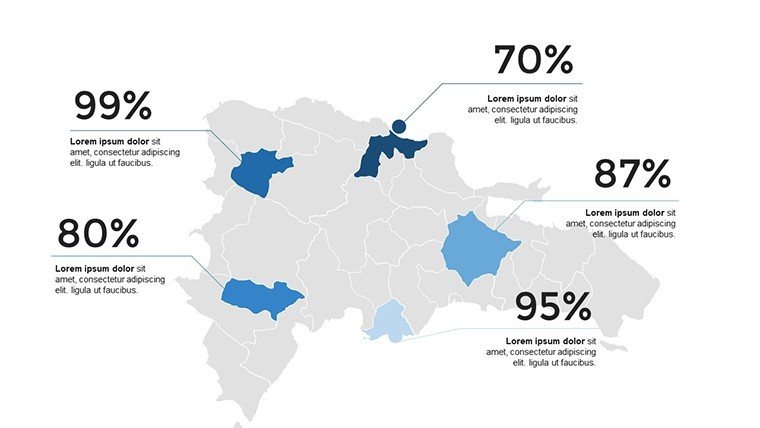
- Trend Overlays: Templates for heat maps showing population shifts or hurricane paths.
- Custom Elements: Icon libraries themed around Dominican icons like baseball fields or coffee plantations.
Mix them for a pitch on sustainable tourism, referencing initiatives from the Global Sustainable Tourism Council, where visual aids have helped secure funding for eco-projects.
Proven Use Cases with Real Impact
In the tourism industry, agencies have used similar maps to craft award-winning campaigns, like those promoting all-inclusive resorts in Bavaro, leading to increased bookings as per TripAdvisor data. Businesses expanding into the DR's tech hubs in Santo Domingo can map talent pools, drawing from LinkedIn reports on emerging markets.
Educators find value in cultural lessons, such as exploring Taíno heritage sites, enhancing curricula with visuals that improve retention, according to studies from the Journal of Geography in Higher Education. For researchers, overlay data on coral reef conservation around Saona Island, supporting papers presented at conferences like the International Coral Reef Symposium.
Unlike generic tools, this template offers DR-specific details, saving time over building from scratch and providing a polished edge that impresses clients or students alike.
Tips to Amplify Your Slides
Elevate your game with these insider suggestions:
- Incorporate local flavors: Use color palettes inspired by Dominican flags or sunsets for authenticity.
- Add interactivity: Hyperlink map points to videos of merengue dances or virtual tours.
- Balance data and design: Avoid clutter by layering information progressively.
- Reference sources: Cite UNWTO stats for credibility in tourism slides.
- Rehearse visuals: Test on different devices to ensure vibrancy translates.
These draw from presentation gurus like Guy Kawasaki, emphasizing the '10-20-30' rule while adapting for map-heavy content.
Build Trust with Quality and Versatility
Backed by 364 ratings, this template is a reliable choice for professionals seeking to infuse presentations with Caribbean charm. It's more than slides - it's your gateway to persuasive storytelling.
Ready to transport your audience to the Dominican Republic? Download now and start customizing for unforgettable impact.
Frequently Asked Questions
- Are the maps fully customizable?
- Yes, adjust colors, texts, and elements easily within your preferred software.
- Does it support large-screen presentations?
- Absolutely, high-res graphics ensure clarity on projectors and big displays.
- Can I use it for educational purposes?
- Perfect for classrooms, with editable features for interactive lessons.
- What formats are compatible?
- PowerPoint, Google Slides, and Keynote - all seamless.
- Is commercial use allowed?
- Yes, ideal for business and marketing without restrictions.
- How do I integrate data?
- Use built-in tools to overlay charts and stats effortlessly.