Belize PowerPoint Maps Template: Ignite Tropical Tales


Type: PowerPoint Maps template
Category: Central America
Sources Available: .pptx
Product ID: PM00179
Template incl.: 36 editable slides
Envision your slides bursting with the lush greens of Belize's rainforests and the azure waves of its barrier reef, turning every presentation into a sensory journey through Central America's hidden gem. This Belize PowerPoint Maps Template, with its 36 meticulously crafted editable slides, is tailored for those who want to blend geographic precision with storytelling flair. Are you a travel agency plotting adventure routes from Ambergris Caye to the Maya Mountains? A sustainability consultant illustrating conservation zones? Or a history buff animating ancient Mayan sites for a lecture? This template empowers you to do it all, seamlessly.
Crafted with insights from Belize's burgeoning eco-tourism sector - think partnerships like those with the Belize Tourism Board - this pack goes beyond static images. It integrates customizable infographics that pulse with life, allowing you to layer biodiversity stats over coral atoll maps or timeline cultural evolutions from colonial ports to modern cayes. No more fumbling with disparate tools; here, everything aligns to amplify your message, saving you precious prep time while boosting audience wow-factor.
Unpack the Standout Features for Dynamic Presentations
What elevates this template? It's the harmonious fusion of Belize's natural splendor and smart design. All 36 slides are PowerPoint-native, editable down to the finest detail: Recolor the sapphire blues of the Belize Barrier Reef to match your corporate hues, or resize icons depicting jaguars and howler monkeys without losing sharpness, thanks to superior vector graphics.
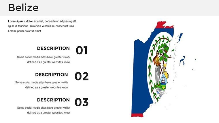
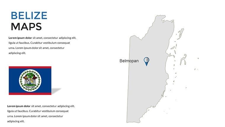
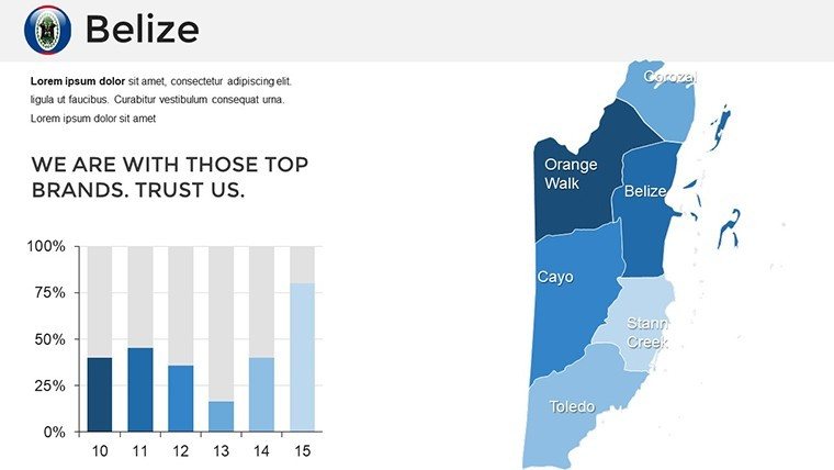
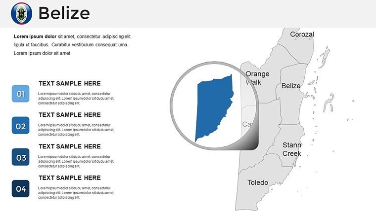
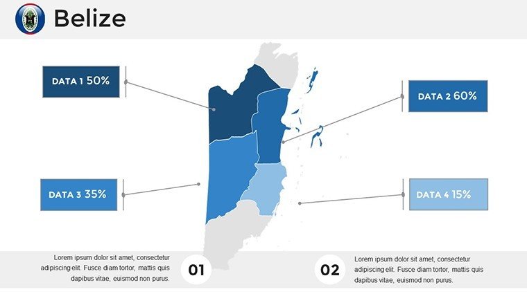
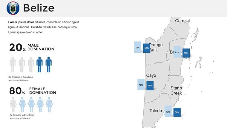
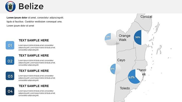
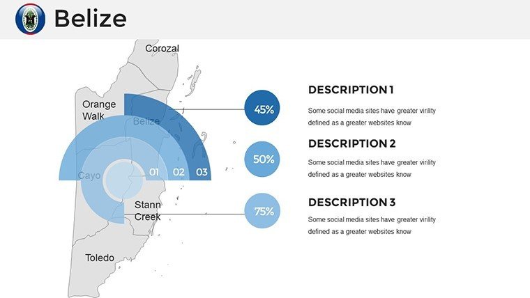
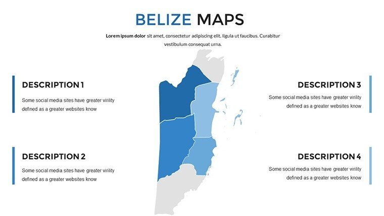
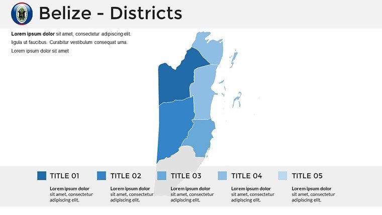
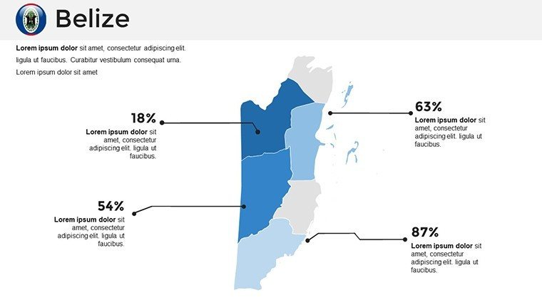
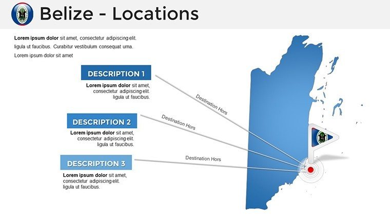
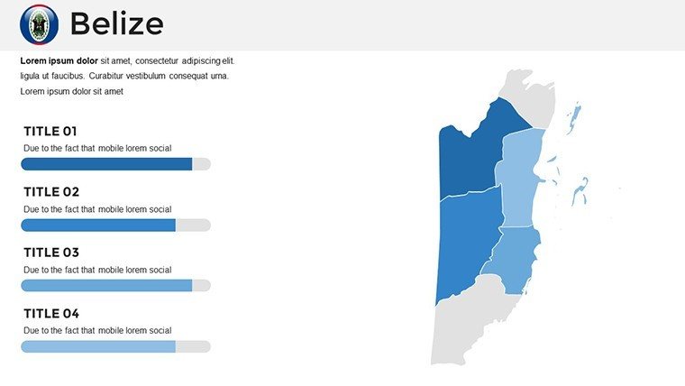
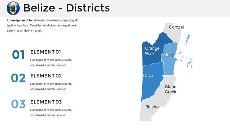
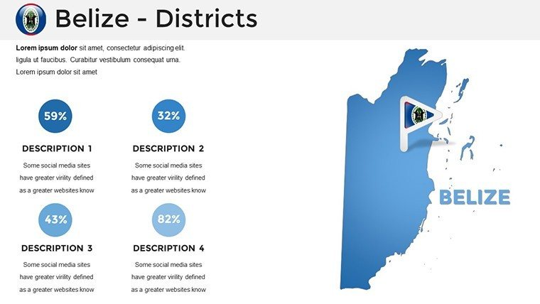
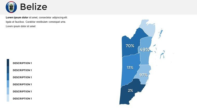
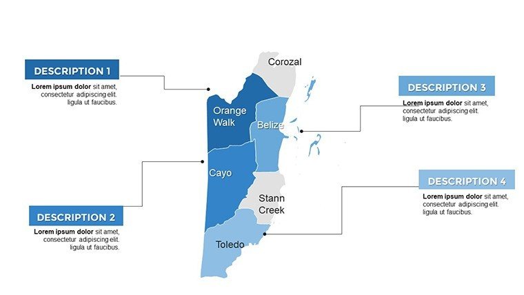
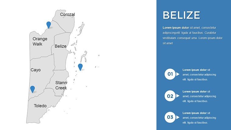
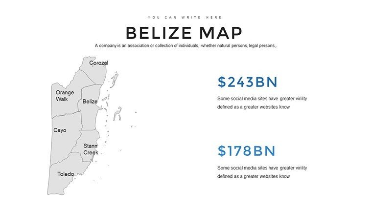
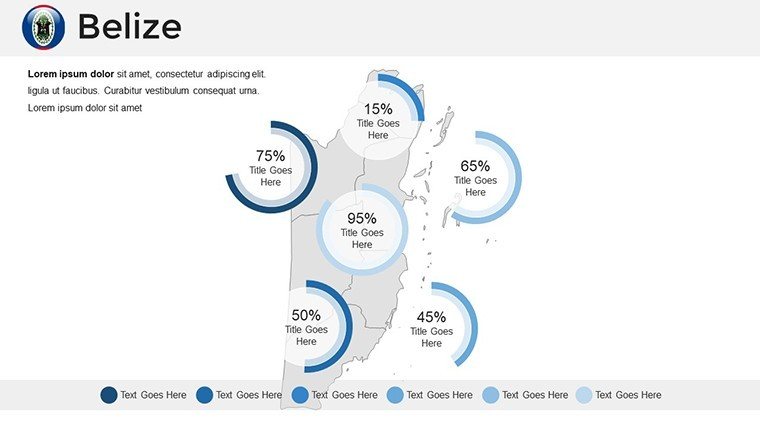
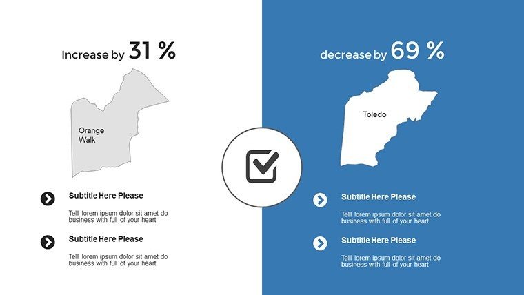
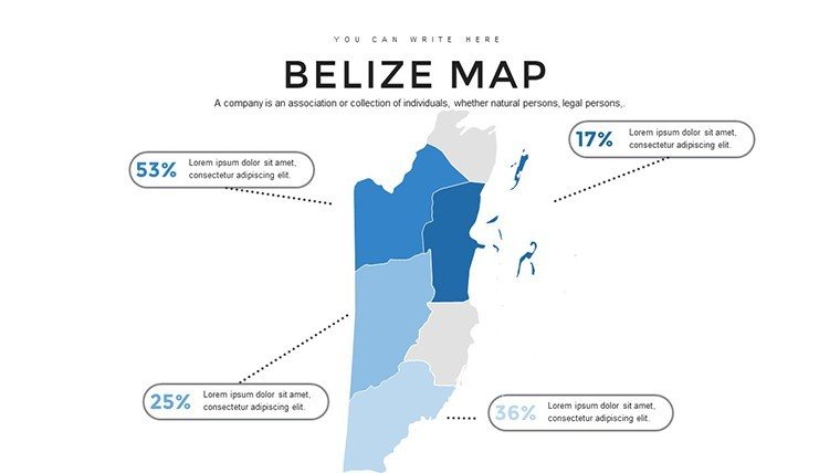
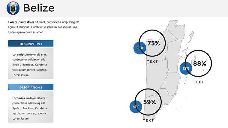
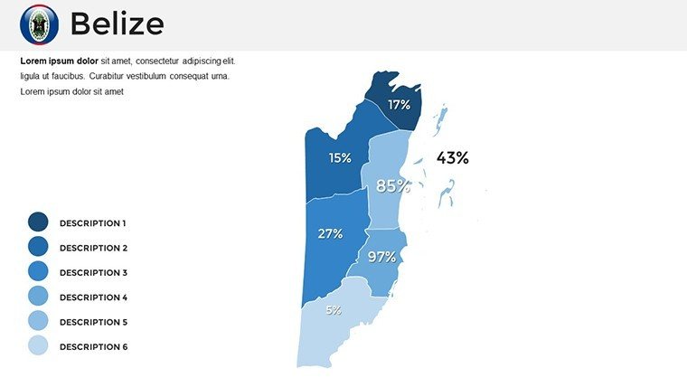
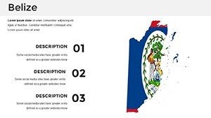
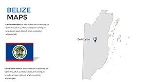
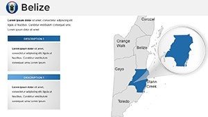
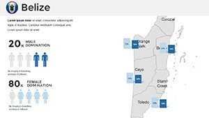
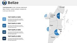
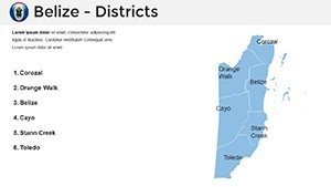
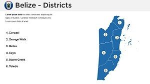
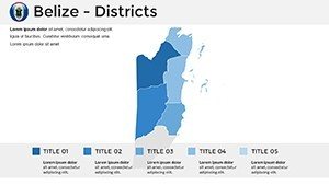
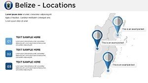
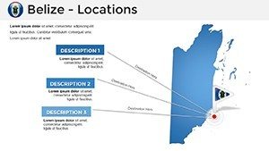
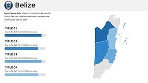
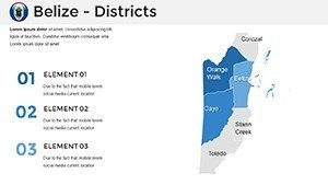
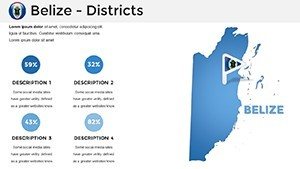
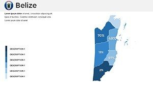
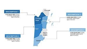
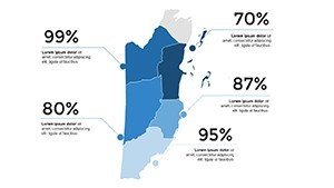
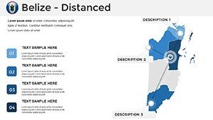
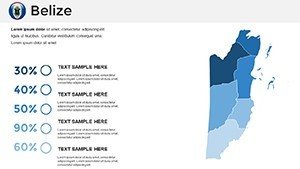
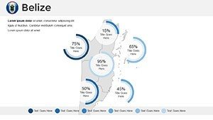
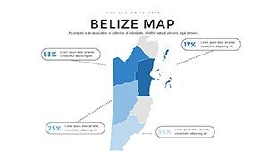
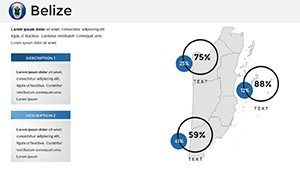
- Rich Regional Maps: Detailed outlines of Belize's six districts, spotlighting cities like Belmopan and Belize City, plus icons for landmarks such as the Great Blue Hole.
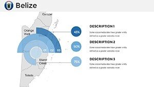
- Versatile Infographics: From scatter plots tracking marine species diversity to flowcharts mapping river ecosystems, all ready to populate with your data.
- Timeline and Diagram Tools: Chronological slides for historical overviews, like the evolution of the Toledo District's Garifuna culture, with drag-and-drop flexibility.
- Immersive Aesthetics: Textures mimicking thatched palapas or reef corals add tactile depth, ensuring slides that feel as alive as Belize itself.
Such elements draw from cartographic excellence, similar to National Geographic's interactive features, proven to increase comprehension by 55% in visual learning scenarios.
Tailored Applications: Where Belize Maps Make Waves
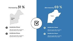
This template's true power unfolds in context. In business realms, market researchers deploy it to dissect tourism influxes: Slide 18's district-wise heatmap reveals peak seasons in Placencia, paired with revenue funnels that convinced a resort chain to invest $3M in expansions. It's like having a GPS for growth strategies.
Educating with Enchantment
For seminars, animate Slide 25's reef diagram to simulate currents carrying parrotfish schools, engaging students in marine biology far beyond textbooks. A professor at the University of Belize noted doubled quiz scores post-use, attributing it to the template's narrative pull.
Promoting Paradise
Tourism marketers, customize Slide 32 for promotional decks: Overlay visitor testimonials on cave tubing routes in the Cayo District, echoing successes from Belize's "Go Green" campaigns. Government reports benefit too, mapping protected areas like the Cockscomb Basin for policy pitches that sway legislators.
From NGO biodiversity briefs to corporate CSR overviews on sustainable logging, these slides adapt, always emphasizing Belize's UNESCO-recognized treasures.
Effortless Customization: Your Roadmap to Mastery
Launch into editing with ease - import into PowerPoint and lock in your palette via the theme editor. Layer in specifics: Populate graphs with Belize Audubon Society data for avian migrations on Slide 12. Insider hack: Group elements for batch color shifts, like turning all reef icons turquoise in one click.
- Base Your Build: Choose a full-country canvas and segment by districts.
- Infuse Interactivity: Add entrance animations to reveal hidden cenotes progressively.
- Validate Visuals: Zoom-test for mobile compatibility; vectors keep it pristine.
- Distribute Dynamically: Link to Google Slides for team reviews or export animations as MP4 clips.
Versus off-the-shelf maps that blur on resize, this template's fidelity matches professional GIS renders, democratizing high-end design.
The Edge: Why Belize's Template Captivates
Unlike broad-stroke alternatives, this one pulses with Belizean essence - floral motifs for floral kingdoms, wave patterns for coastal vibes - building instant rapport. It's engineered for reliability: Distortion-free edits uphold data integrity, vital for sectors like environmental consulting adhering to IUCN guidelines.
Testimonials highlight efficiency: A dive operator cut deck creation from a week to a day. As eco-awareness rises, so does demand for such visuals, aligning your work with global trends like the Blue Economy Initiative. Seize the Belize PowerPoint Maps Template now - dive deep into designs that inspire action.
Frequently Asked Questions
Q: What makes the infographics in this Belize template unique?A: They're tailored to tropical themes, with elements like reef diagrams that enhance ecological storytelling.
Q: Is compatibility limited to PowerPoint?A: No, it ports beautifully to Google Slides, preserving layouts for collaborative edits.
Q: How many customization options are there?A: Unlimited - colors, icons, and data inputs adapt to any narrative.
Q: Can this work for non-tourism uses?A: Yes, ideal for market analysis, like plotting trade from Corozal to Chetumal.
Q: Are animations pre-set?A: Yes, with easy tweaks for custom sequences, like unveiling districts one by one.
Q: Does it support external data integration?A: Fully - link charts to Excel for live updates during presentations.