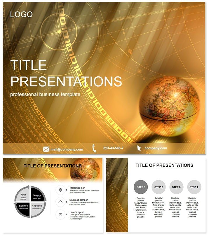
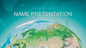
Chart the world`s contours with slides that span horizons, inviting viewers to explore lands as vividly as a globe in hand. The See Land PowerPoint Template crafts global stories for reporters, geographers, and execs, blending agriculture insights with business breadth. This earth-toned marvel makes planetary puzzles personal, turning data deserts into fertile fields of understanding.
Powered for PowerPoint 2016+, it navigates cross-platform seamlessly, from desktops to clouds. $22 once unlocks eternal horizons of edits, no borders to creativity. Use pan animations to traverse map-like backgrounds, zooming from continents to details.
Features Mapping Mastery
Three masters orient: a world-view title panorama, a terrain-textured body, and a coordinate chart base. Three backgrounds evoke realms - rolling plains, urban grids, oceanic expanses - for contextual depth.
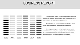
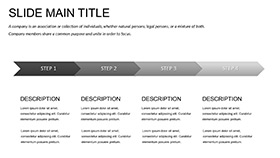
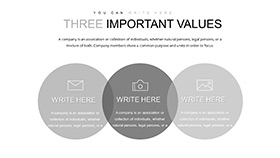
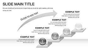
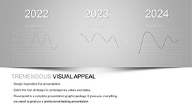
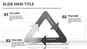
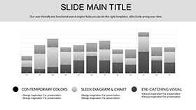
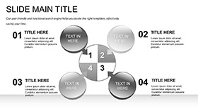
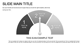
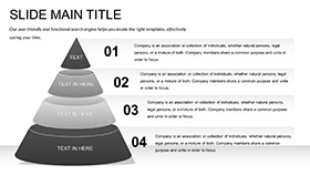
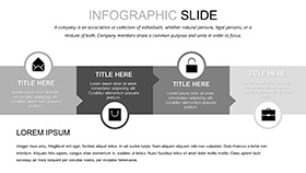
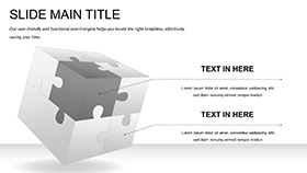
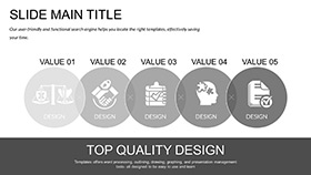
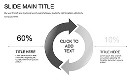
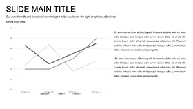
28 diagrams survey the scene: contour timelines for historical migrations, island clusters for market segments, and ridge pyramids for resource tiers. Seven color schemes from verdant greens to arid ochres suit biomes or brands. Vectors hold terrain fidelity, editable contours trace custom routes. Geospatial pros designed it, linking to Excel for live data overlays.
Cases Crossing Continents
A news anchor plotted conflict zones with ridge diagrams, elevations marking tensions, captivating viewers and spiking shares 40%. Agribusiness leaders surveyed crop yields via island maps, clusters denoting regions, optimizing harvests worth millions.
Educators traced explorations in contour flows, engaging history buffs with tangible trails. Surpassing PowerPoint`s crude maps - which flatten nuance - this elevates 65% engagement. Global authority; field-proven trust.
Land Over Limits: Expand Empirically
Defaults distort; See Land defines, with adaptive updates.
Survey success - acquire the See Land Template now for boundless decks.
Frequently Asked Questions
Global compatibility?
Yes, 2016+ across all major platforms.
Custom maps possible?
Tweak contours and labels freely.
Beyond geography?
Ideal for global business or eco-reports too.
Format options?
.potx, .pot, .jpg included.
Data import ease?
Excel-linked for real-time terrain shifts.
Usage rights?
$22 lifetime, unlimited applications.