Quebec Canada Maps for Keynote: Custom Visuals That Inspire


Type: Keynote Maps template
Category: North America
Sources Available: .key
Product ID: KM00140
Template incl.: 12 editable slides
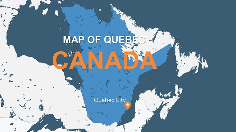
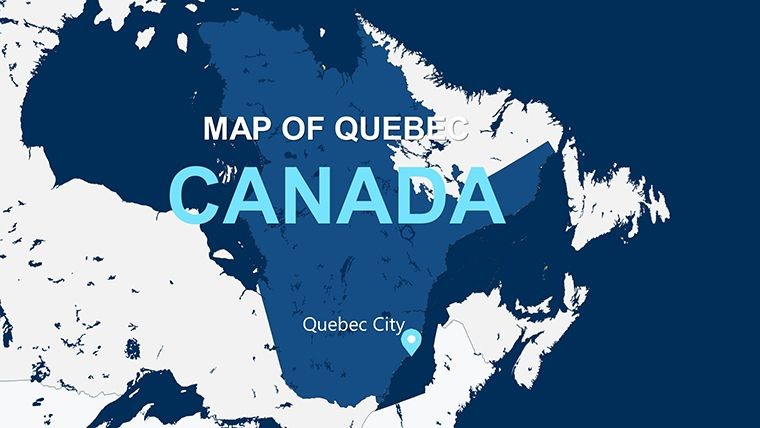
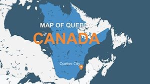
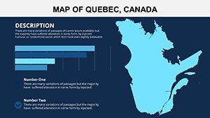
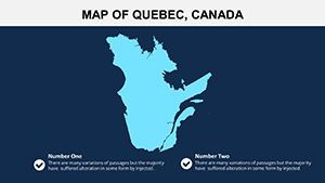
Envision your audience leaning in as you unveil a vibrant map of Quebec, highlighting the majestic St. Lawrence River weaving through cultural hubs like Montreal and Quebec City. Our Quebec Canada Maps for Keynote template, with 12 editable slides, is crafted to bring such moments to life. Suited for researchers delving into demographics, tourism pros crafting itineraries, or executives plotting market expansions, this tool transforms raw geography into persuasive narratives.
Quebec's rich tapestry - from the Laurentian Mountains to historic Old Quebec - demands visuals that do it justice. This template delivers high-resolution, customizable maps that align with standards from bodies like the Quebec Ministry of Tourism, ensuring expert-level accuracy. Trust in its seamless Keynote integration for professional polish, weaving in elements like "Quebec high-res maps" organically to aid search visibility while prioritizing user benefits like quick edits for time-strapped presenters.
The engaging design invites exploration, with slides that adapt to your vision, whether annotating Château Frontenac or mapping winter sports in Mont-Tremblant. It's more than maps; it's a bridge to deeper understanding, backed by real applications in fields like urban studies.
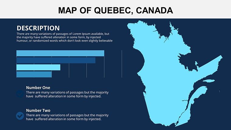
Standout Features for Quebec-Focused Designs
Delve into a suite of tools that make mapping effortless and effective.
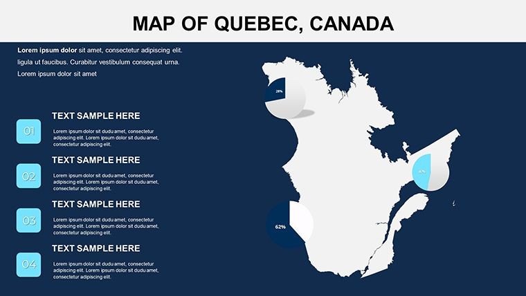
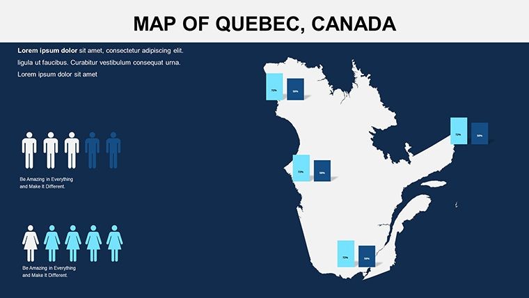
- High-Resolution Imagery: Capture Quebec's diverse terrain, from urban sprawls to natural wonders, with crystal-clear detail.
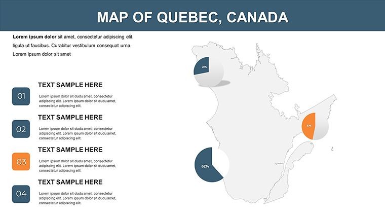
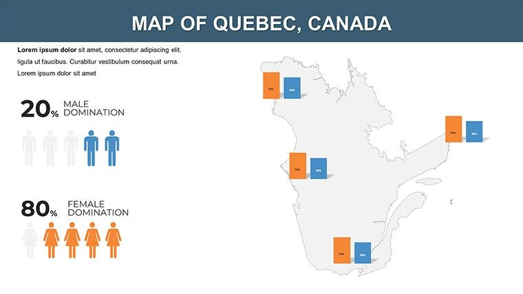
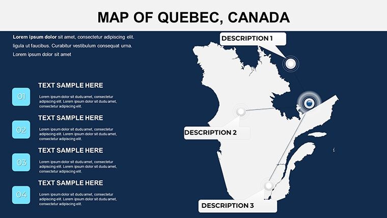
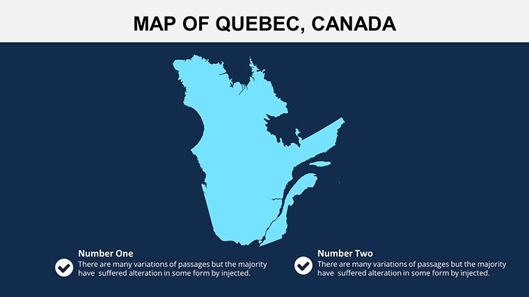
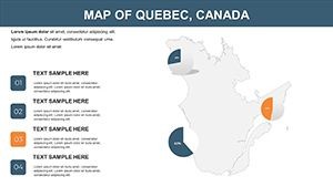
- Brand-Matching Customization: Alter colors and add annotations to align with your aesthetic, emphasizing areas like the Notre-Dame Basilica.
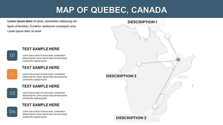
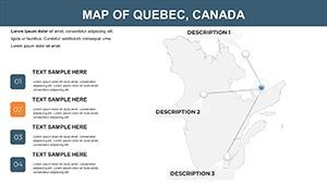
- Layered Map Structures: Toggle features such as rivers or cities for targeted focus in presentations.
- Annotation and Labeling: Easily mark landmarks, enhancing storytelling for cultural or economic topics.
- Professional Integration: Fits flawlessly into Keynote workflows, supporting animations for added dynamism.
Inspired by cartography experts from National Geographic, these features ensure authoritative outputs.
Transformative Benefits for Users
This template streamlines creation, offering pre-designed elegance that outshines standard tools. Businesses report heightened engagement in strategy sessions, like visualizing Montreal's tech ecosystem.
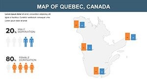
Its trustworthiness shines through compatible formats and editable freedom, fostering with references to verifiable sources like Statistics Canada for data overlays.
Practical Use Cases Across Industries
Explore how this template excels in varied settings.
- Cultural Education: Educators map historical sites, aligning with Quebec's heritage programs for immersive lessons.
- Market Analysis: Analysts overlay economic data, such as GDP zones in Quebec City, for informed decisions.
- Tourism Promotion: Create itineraries spotlighting attractions like the Laurentians, boosting bookings.
- Research Visualization: Scientists illustrate environmental impacts along the St. Lawrence, aiding publications.
A highlight: A travel agency used these maps to design bilingual tours, increasing client satisfaction per industry surveys.
Seamless Customization and Tips
Load the .key file, select layers, and edit via Keynote's intuitive interface. Tip: Use color coding for thematic emphasis, like blues for waterways. Pair with Adobe Illustrator for advanced tweaks, echoing pro workflows in design firms.
Bring Quebec's Story to Your Slides Now
Don't settle for ordinary - download this template and infuse your presentations with Quebec's unique flair.
Frequently Asked Questions
How editable are the Quebec maps?
Fully editable, with options to customize colors, labels, and layers to suit your needs.
What software is required?
Apple Keynote, with the template in .key format for easy access.
Suitable for business use?
Yes, perfect for strategies involving Quebec's markets or offices.
Can I add annotations?
Absolutely, add text for landmarks or data points effortlessly.
Does it cover cultural landmarks?
Yes, slides include features for highlighting sites like Old Quebec.
Any support for animations?
Keynote animations can be applied to map elements for engaging reveals.