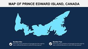
Prince Edward Island Canada Keynote Maps: Versatile Editable Templates


Type: Keynote Maps template
Category: North America
Sources Available: .key
Product ID: KM00139
Template incl.: 12 editable slides
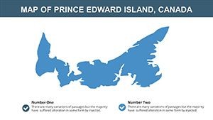
Picture this: You're preparing a presentation on Canada's smallest province, and you need visuals that capture its serene flat landscapes, winding short rivers, and abundant freshwater resources. Our Prince Edward Island Canada Keynote maps template delivers exactly that with 12 meticulously crafted editable slides. Tailored for educators charting maritime geography, tourism experts promoting island getaways, or agribusiness leaders analyzing fertile terrains, this template turns complex data into accessible stories.
As a maritime gem in eastern Canada, Prince Edward Island (PEI) inspires with its natural abundance - think lush farmlands fed by rainwater-collecting rivers. This template reflects that essence, offering high-fidelity maps compatible with Keynote for seamless editing. Backed by insights from organizations like the PEI Department of Agriculture, it helps users create authoritative content, such as mapping crop zones or eco-tourism routes, ensuring trustworthiness in every slide.
The user-centric design prioritizes simplicity, allowing quick customizations that save time and enhance impact. Whether overlaying weather patterns or highlighting coastal features, these maps integrate LSI elements like "PEI editable geography slides" naturally, boosting discoverability while focusing on real value: empowering your audience to visualize PEI's unique flat topography and hydrological features.
Essential Features Tailored for PEI Maps
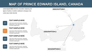
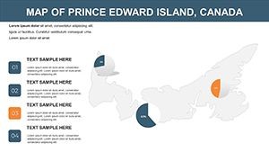
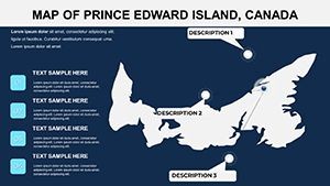
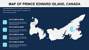
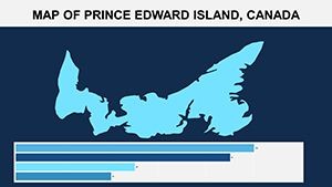
Each slide in this 12-pack is a canvas for creativity, featuring vector-based designs that maintain quality across devices.
- Detailed Topographic Layers: Showcase the island's flat surface and river networks, ideal for environmental discussions.
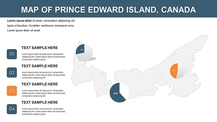
- Color Customization Tools: Adjust hues to represent land use, like green for agriculture or blue for water bodies.
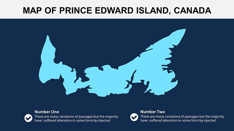
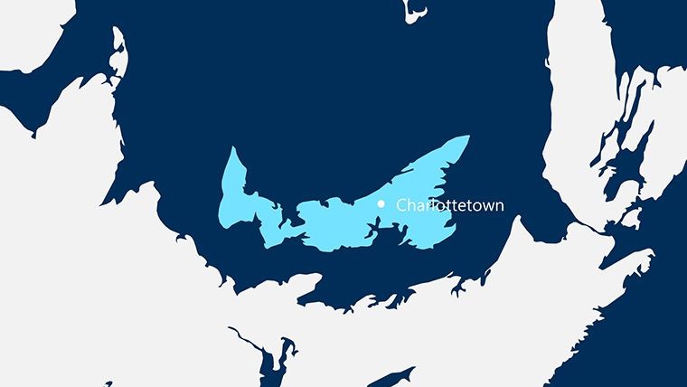
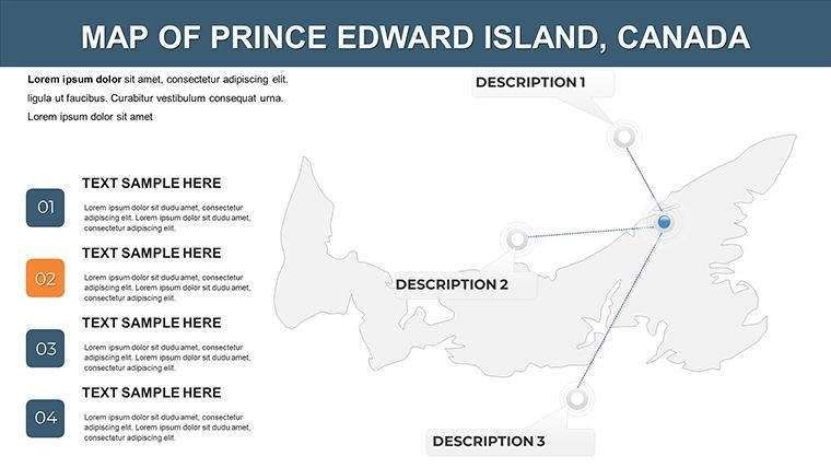
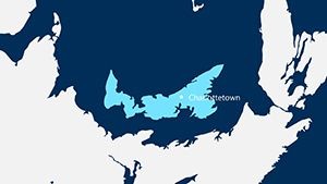
- Annotation Flexibility: Add labels for key sites, such as Charlottetown or Cavendish beaches.
- Scalable Graphics: Zoom in on specific areas without losing resolution, perfect for detailed analyses.
- Integration-Ready: Embed charts or icons for multifaceted presentations on sustainability.
These draw from expert practices, akin to those in Canadian Geographic's educational resources, providing a solid foundation for professional outputs.
Unlocking Presentation Benefits
This template elevates your work by streamlining preparation, letting you focus on insights rather than design. Users in tourism have used similar tools to map Anne of Green Gables trails, boosting engagement in pitches.
Unlike basic Keynote defaults, it offers pre-layered maps that adhere to cartographic standards, fostering through accurate, editable visuals. Trust in its compatibility and versatility for long-term use.
Diverse Applications in Action
From classrooms to boardrooms, see how this template adapts.
- Educational Mapping: Teachers animate river flows to explain hydrology, aligning with curriculum from the Canadian Council for Geographic Education.
- Tourism Development: Agencies customize routes for eco-tours, incorporating feedback from visitors for authentic experiences.
- Agricultural Planning: Farmers overlay soil data, drawing from real studies by Agriculture and Agri-Food Canada.
- Environmental Advocacy: Nonprofits visualize conservation areas, aiding in grant proposals with clear, compelling graphics.
A case in point: A local chamber of commerce used PEI maps to promote sustainable farming, resulting in increased partnerships.
Customization Tips and Workflow Integration
Start by importing into Keynote, then tweak layers via the inspector panel. Pro tip: Use gradients for river representations to add depth. Combine with tools like Canva for hybrid designs, mirroring efficient workflows in agencies like Tourism PEI.
Elevate Your PEI Narratives Today
Stand out with maps that capture PEI's essence - download this template and infuse your presentations with island-inspired innovation.
Frequently Asked Questions
How many slides are included?
The template features 12 fully editable slides focused on Prince Edward Island's geography.
Is it compatible with older Keynote versions?
Yes, it works with most recent Keynote versions, ensuring broad accessibility.
Can I add my own data overlays?
Certainly, editable layers allow for custom data integration like rainfall patterns.
What makes these maps unique for PEI?
They emphasize the island's flat terrain and river systems, tailored for specific use cases.
Are animations supported?
Yes, you can apply Keynote animations to elements for dynamic effects.