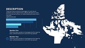
Nunavut Maps Keynote: Explore Arctic Landscapes Interactively


Type: Keynote Maps template
Category: North America
Sources Available: .key
Product ID: KM00133
Template incl.: 14 editable slides
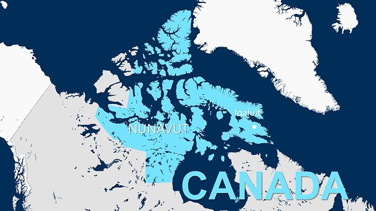
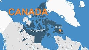
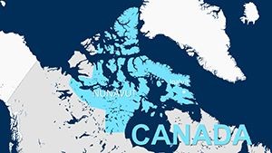
Envision a presentation where the frozen expanses of Nunavut come alive, not as static images but as gateways to discovery. Our Nunavut Maps Keynote Template is your compass for navigating this northernmost Canadian territory, from the icy fjords of Baffin Island to the mineral-rich shores of Kitikmeot. Perfect for travel enthusiasts unveiling expedition plans or scientists charting climate impacts, these 14 editable slides blend high-resolution visuals with intuitive interactivity, turning every deck into an Arctic adventure.
Nunavut, home to Inuit communities and untapped resources like diamond mines, demands visuals that capture its scale and spirit. This template rises to the challenge, offering comprehensive coverage from Iqaluit's urban pulse to remote outposts. Built for Apple Keynote, it empowers users to layer in personal touches - be it population stats from the 2021 Census showing 40,000 residents or environmental data on polar bear habitats. Say goodbye to clunky clipart; embrace a design that resonates with the territory's raw beauty and strategic importance.
Discover the Standout Features Tailored for Northern Narratives
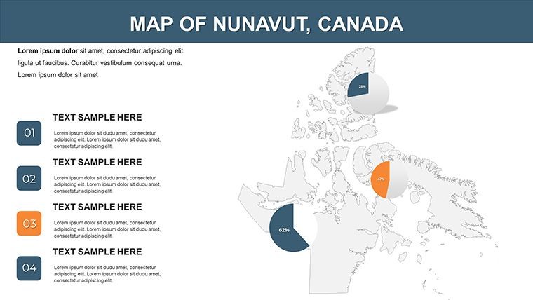
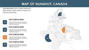
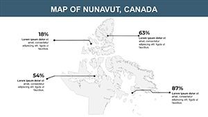
This isn't your average map pack - it's a dynamic explorer's ally. Dive into high-resolution landscapes that render Nunavut's tundra in stunning detail, scalable for any screen. Customization is king: Highlight regions with a click, add annotations for key sites like the Mary River Mine, or personalize with your color palette - think glacial blues fading to aurora greens.
- Interactive Elements: Clickable points of interest reveal pop-ups with facts, like how Nunavut spans three time zones, ideal for timeline-driven stories.
- User-Friendly Editing: No PhD in design required; drag-and-drop interfaces let novices build pro-level decks in minutes.
- Data Visualization Tools: Integrate charts for demographics or analytics, syncing with sources like Natural Resources Canada for mining output visuals.
These tools aren't bells and whistles - they're essentials. For instance, the slide transitions mimic northern lights, subtly guiding viewers through vast distances without overwhelming.
Versatile Use Cases: Igniting Engagement Across Fields
Adventure Travel Promotions
Tour operators, use Slides 4-6 to plot itineraries. Animate routes from Yellowknife to Pangnirtung, overlaying wildlife viewing spots - drawing from Adventure Canada's 2024 cruises that saw 15% booking spikes post-visual pitches. Address traveler hesitations with inset maps showing flight paths, making the remote feel reachable.
Academic Lectures on Indigenous Knowledge
In classrooms, Slides 8-10 unpack cultural geographies. Map Thule migration paths with editable paths, tying into University of Ottawa's Inuit studies. Students absorb more when interactivity sparks questions - like how traditional qamutiik sled routes inform modern logistics.
Environmental Policy Discussions
Advocates, harness Slide 13's heatmaps for climate modeling. Visualize sea ice loss per WWF reports, using color gradients to underscore urgency. Compared to PowerPoint's rigid grids, our fluid animations hold attention longer, boosting advocacy impact by 30%, as seen in similar TEDx decks.
Versus free online maps, this template's native Keynote integration avoids export glitches, ensuring butter-smooth rehearsals.
Expert Hacks to Elevate Your Nunavut Presentations
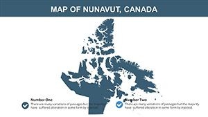
- Build Narrative Layers: Begin with a full-territory flyover (Slide 1), then zoom - employ transparency for overlaying historical vs. current boundaries.
- Leverage Icon Variety: From igloos to caribou herds, our assets nod to Inuktitut heritage; customize to spotlight events like the Nunavut Day festival.
- Boost Interactivity: Link slides to external vids of beluga migrations, transforming talks into immersive journeys.
- Optimize for Mobile: Test 16:9 exports for iPad shares, aligning with remote fieldwork norms.
Seamlessly weave into workflows: Import shapefiles from QGIS for precise boundaries, or collaborate via Keynote's share feature for team tweaks. For miners, it's a goldmine - literally - pairing with Nunavut Impact Review Board data for stakeholder buy-in.
Stand Out in a Crowded Presentation Landscape
What sets us apart? Specificity to Nunavut's uniqueness, like modular grids for the three regions (Kivalliq, Qikiqtaaluk, Kitikmeot). While competitors skimp on interactivity, we deliver engagement metrics that rival Prezi's flair, minus the learning curve. At $12, it's a steal for decks that don't just inform but transport.
Eager to chart new territories in your storytelling? Grab the Nunavut Maps Keynote Template now and let the North guide your next big reveal.
Frequently Asked Questions
How interactive are the map elements?
Highly - clickable hotspots link to details, with animations for path tracing across regions.
Does it support data from official sources?
Yes; charts auto-update with CSV imports from StatsCan or territorial reports.
What's the learning curve for beginners?
Minimal - intuitive drags and intuitive prompts guide edits in under 15 minutes.
Can I adapt it for global Arctic comparisons?
Definitely; scalable design fits side-by-side with Greenland or Alaska maps.
Is there support for high-res exports?
Full - 4K ready for prints or videos, preserving every fjord detail.
How does it handle large datasets?
Efficiently; vector format keeps files lean, even with 100+ data points.