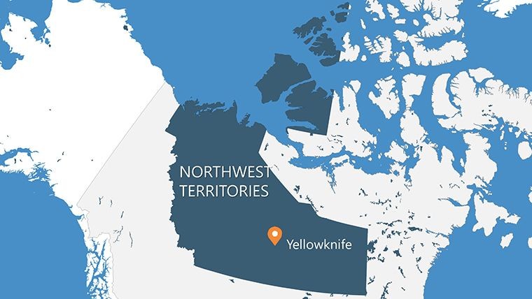
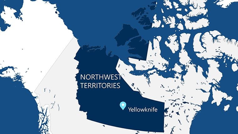
Northwest Territories Keynote Maps: Illuminating the Northern Frontier


Type: Keynote Maps template
Category: North America
Sources Available: .key
Product ID: KM00131
Template incl.: 14 editable slides
Beneath the midnight sun and dancing auroras, the Northwest Territories (NWT) unfolds as Canada's crown jewel of wilderness - home to subarctic lakes, caribou migrations, and Dene heritage. Spanning 1.3 million square kilometers yet home to just 45,000 souls, it's a realm where vastness meets intimacy. For environmentalists, policymakers, and adventure promoters, capturing this scale in presentations requires nuance. Our NWT Keynote Maps Template rises to the challenge with 14 editable slides that blend artistry and accuracy, turning abstract territories into evocative visuals.
Native to Keynote with PowerPoint export options, it's primed for global sharing. As climate dialogues intensify in 2025, these maps are vital for narrating change - from Great Slave Lake's ecosystems to diamond mine footprints - empowering your voice in the conversation.
Signature Features for Northern Narratives
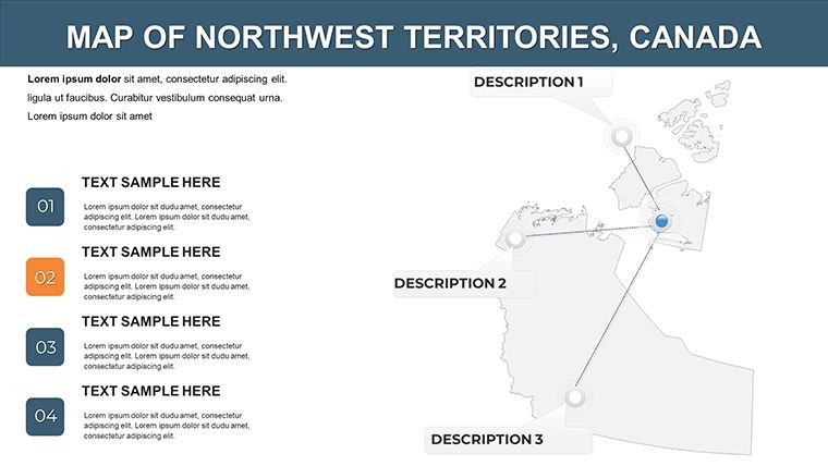
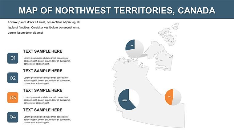
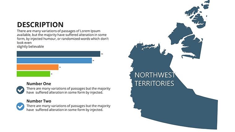
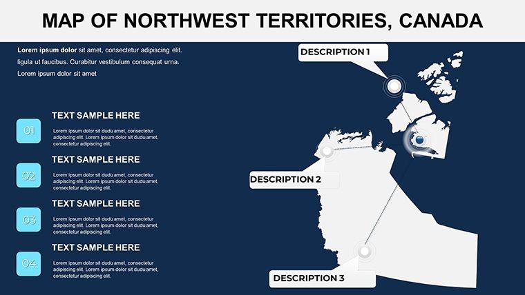
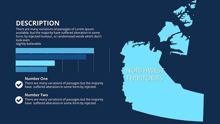
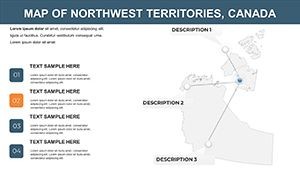
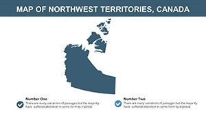
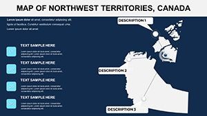
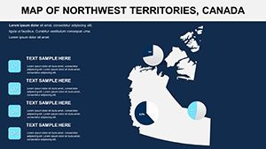
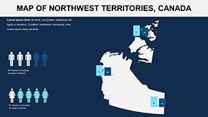
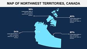
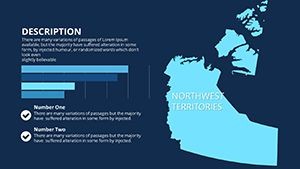
The 14 slides commence with a territorial expanse on Slide 1, delineating regions like Sahtu and Inuvik. Evolve to specifics: Slides 4-8 spotlight boreal forests and taiga, while 10-13 integrate cultural motifs with modern data layers.
- Region-Specific Imagery: Authentic icons - polar bears, inukshuks, northern lights - infuse cultural relevance.
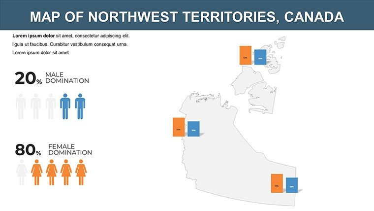
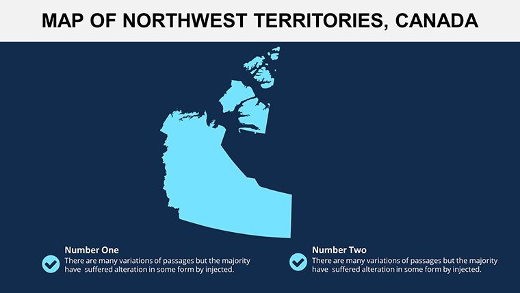
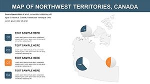
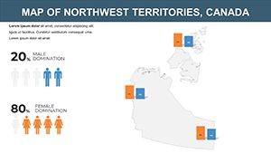
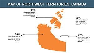
- Flexible Layouts: Modular grids for sales funnels or biodiversity charts atop base maps.
- Color Harmony: Aurora-inspired palettes that evoke the landscape's mood.
- Readability Focus: Bold headings and sparse text for distant projections.
Engineered by seasoned designers, these elements prioritize flow, addressing overload in complex decks. High-contrast ensures visibility in dim conference halls, per best practices from GNWT reports.
Customization Insights: Craft Your Northern Vision
Edit with ease: Tint the Mackenzie River delta for flood modeling, or animate wildlife corridors. Pro advice: Layer GNWT climate data for impact, as in their 2022 State of Environment visuals, transforming stats into urgent calls to action.
Impactful Use Cases: Stories from the North
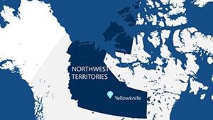
Tourism operators in Yellowknife deploy these for aurora safaris, mapping lodges against sky-view forecasts - mirroring cumulative effects studies that use visuals for sustainable planning.
In policy arenas, environmental NGOs illustrate caribou declines, as per wildlife state assessments, swaying funding decisions.
- Data Presentations: Climate trend graphs over permafrost zones.
- Educational Journeys: Virtual tours of Wood Buffalo National Park.
- Tourism Blueprints: Route planners for Dempster Highway adventures.
- Sales Reports: Market expansions tied to infrastructure.
Superior to generic atlases, its NWT focus delivers authenticity, cutting prep by half.
Streamlined Integration for Northern Pros
Mesh with ENR tools for eco-data or Dropbox for remote collabs. The guide tackles font embeds and export quirks.
Light the northern path - download your NWT Keynote Maps today and let your presentations echo the aurora's glow. The wild north, vividly yours.
Frequently Asked Questions
Are the slides themed for NWT's unique environment?
Yes, with aurora hues and wildlife icons for authentic flair.
How customizable are the layouts?
Fully - adjust fonts, colors, and positions via intuitive Keynote controls.
Can I use this for environmental reports?
Perfectly suited, with layers for data like in GNWT assessments.
What's included beyond maps?
Icons, charts, and a user guide for comprehensive builds.
Export options for non-Keynote users?
Seamless to PDF or PowerPoint, retaining most edits.