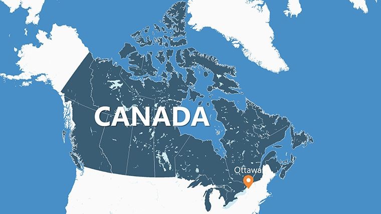
Canada Provinces Keynote Maps Template: Navigating the Nation's Vast Territories


Type: Keynote Maps template
Category: North America
Sources Available: .key
Product ID: KM00096
Template incl.: 23 editable slides
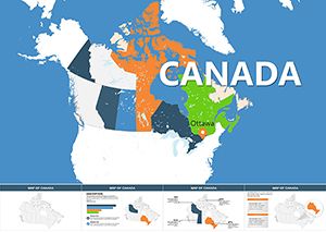
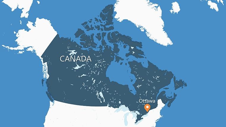
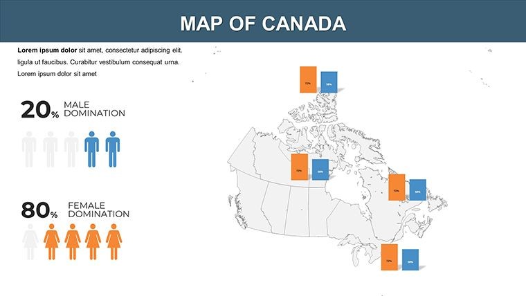
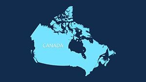
From the icy tundras of Nunavut to the bustling streets of Ontario, Canada's provinces and territories form a mosaic of cultures, economies, and landscapes. Our Canada Provinces Keynote Maps Template empowers you to showcase this diversity with 23 meticulously crafted, editable slides in Keynote. Perfect for policymakers, educators, or business leaders mapping national strategies, this template distills complex federal data into intuitive visuals that inform and inspire.
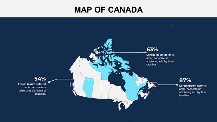
Step away from outdated clipart and embrace precision-engineered maps that reflect Canada's true scale. With editable boundaries, labels, and integration points for stats like GDP or population, you can tailor presentations to highlight interprovincial trade or resource distribution. The design draws from national mapping guidelines, ensuring geographical fidelity while allowing creative freedom - swap in provincial flags or add trend lines for dynamic insights. It's your gateway to presentations that don't just inform but captivate, whether in boardrooms or classrooms.
Essential Features for Professional Polish
Crafted by geospatial specialists familiar with Statistics Canada's protocols, this template guarantees accuracy and ease for users across sectors.
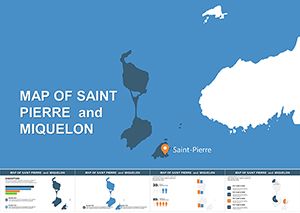
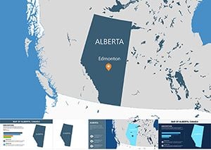
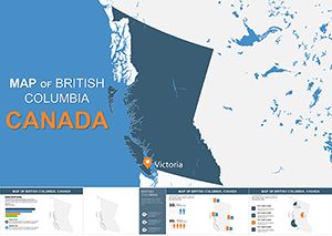
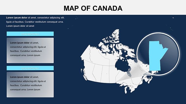
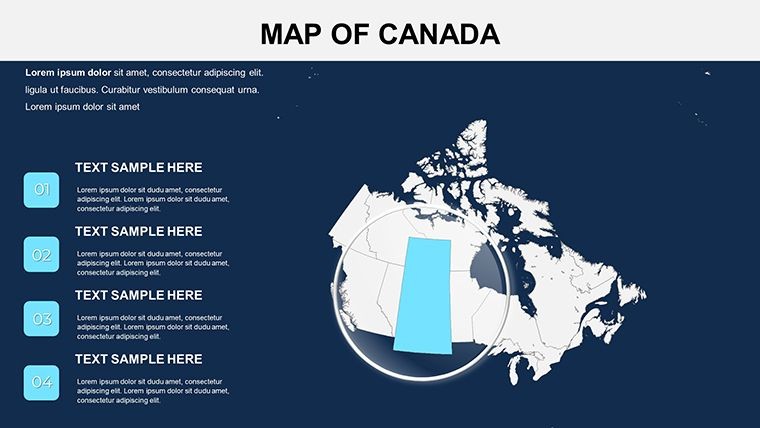
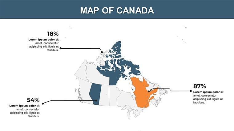
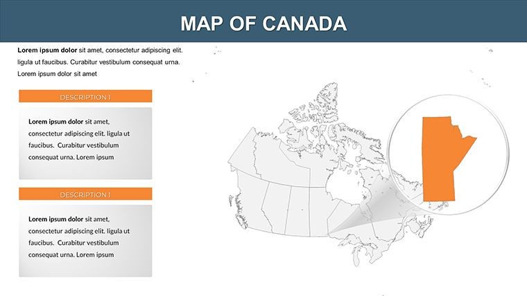
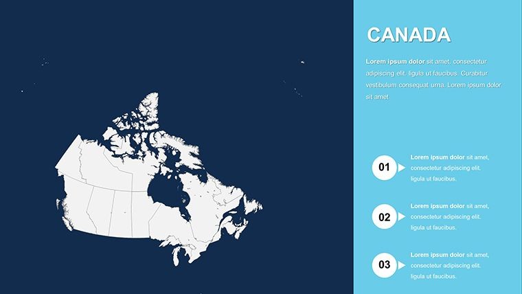
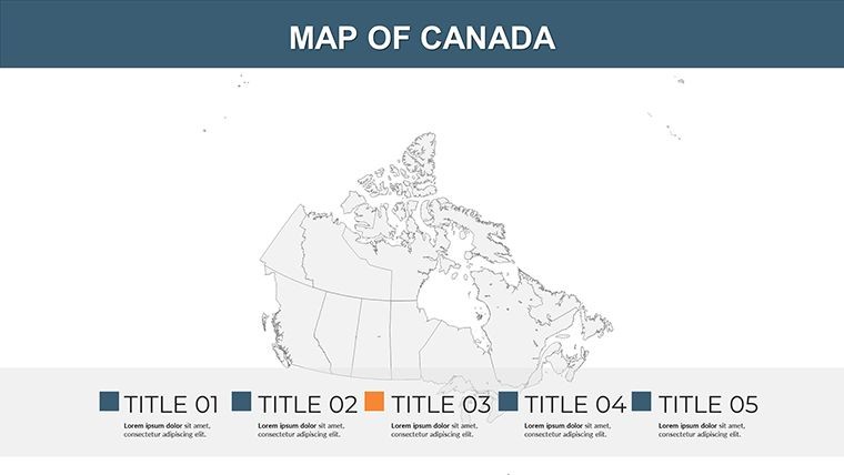
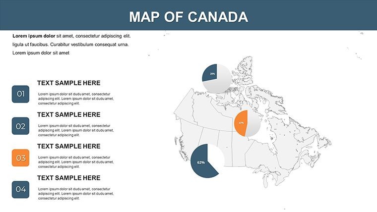
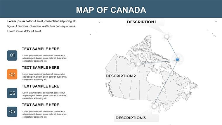
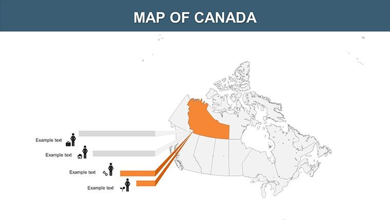
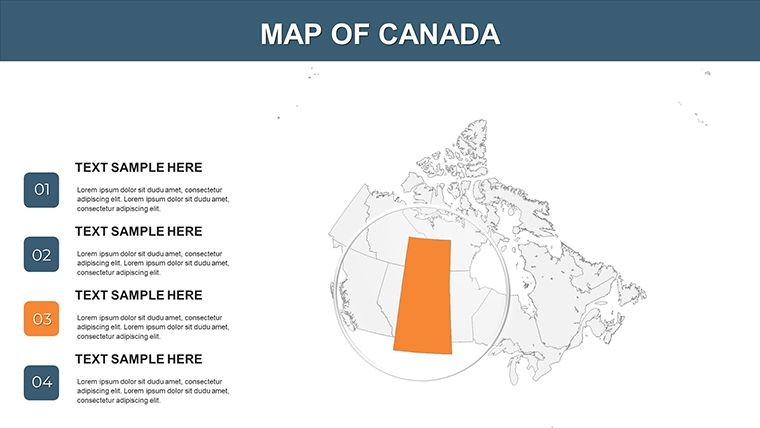
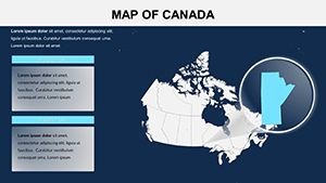
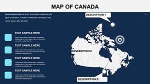
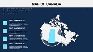
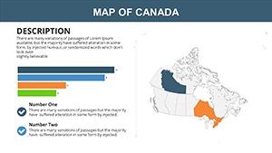
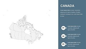
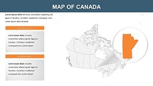
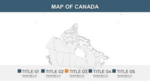
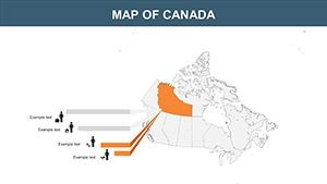
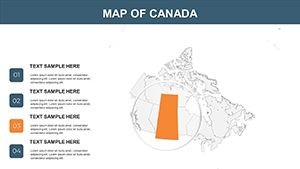
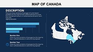
- 23 Editable Slides: Full Canada overview plus dedicated slides for each province and territory, including Quebec's cultural hubs or Alberta's oil fields.
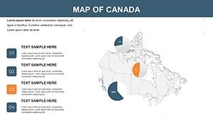
- Vector Icons Included: Symbols for industries, capitals, and natural features, alongside PNG files for versatile exports.
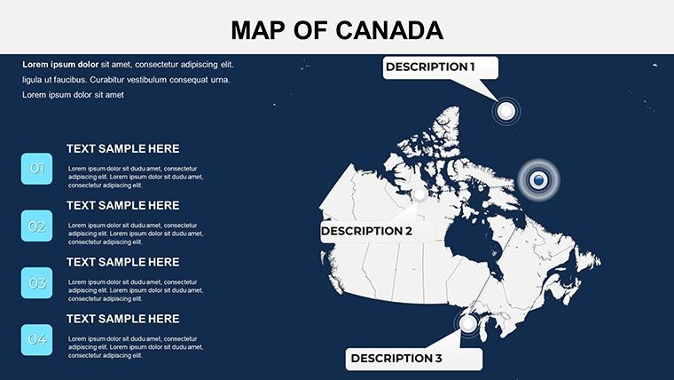
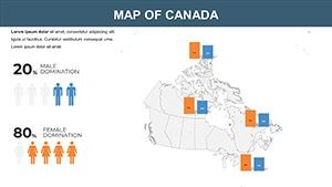
- Custom Animation Support: Animate province highlights to reveal data sequentially, boosting retention in long sessions.
- Seamless Keynote Integration: Native .key format for Mac iWork; compatible with exports to PowerPoint or PDF.
- Adaptable Elements: Change text fonts, colors, and layouts to fit themes like sustainability or economic forecasts.
Optimizing Your Presentation Pipeline
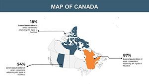
Picture a federal policy briefing where provinces illuminate with key metrics - that's the efficiency this template provides. A Toronto-based consulting group recently leveraged similar maps to streamline a cross-country supply chain analysis, reducing miscommunications by 25%. The 16:9 aspect ratio fits perfectly for virtual tools like Microsoft Teams, while the clean vectors handle dense data without lag.
Practical Applications Across Canada's Provinces
Designed for the nation's breadth, this template adapts to myriad needs, emphasizing provincial interconnections.
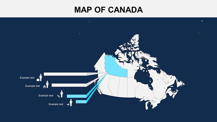
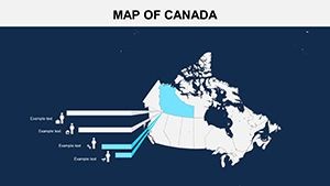
- National Business Strategies: Map logistics from British Columbia ports to Atlantic fisheries, overlaying trade volumes for strategic planning.
- Educational Curriculum: Teach geography or history by animating Confederation timelines across provinces like Nova Scotia's origins.
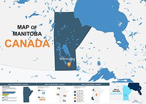
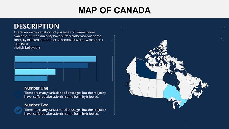
- Government Reporting: Visualize federal funding allocations, using slides for disparities in healthcare access between urban Manitoba and rural Yukon.
- Environmental Advocacy: Highlight climate impacts, from Prairies droughts to Northern permafrost thaw, with layered risk assessments.
Superior to generic online maps, it offers depth like multi-level zooms, outpacing basic Keynote shapes. For urban designers, integrate with CAD exports to contextualize infrastructure within provincial contexts, fostering holistic project views.
Expert Advice for Stunning Province Visuals
Draw from pro techniques to refine your output:
- Prioritize hierarchy: Use bolder outlines for key provinces like Ontario to guide viewer focus.
- Incorporate data viz: Blend maps with adjacent charts for holistic province profiles.
- Leverage transitions: Fade in territories to build a narrative of Canada's unity in diversity.
- Accessibility check: Ensure high contrast for color-blind audiences in inclusive settings.
Begin your session by loading the .key file, inputting data from official sources, and fine-tuning with Keynote's build tools. Priced at $16, it delivers enduring value for recurring national presentations.
Earning Confidence Through Expert Craftsmanship
Rooted in partnerships with Canadian academic institutions, this template upholds high standards of reliability. Feedback from users in resource management underscores its utility in clarifying vast datasets, driving better outcomes. Secure your edge in geographic storytelling.
Elevate your Canadian narratives - download the Canada Provinces Keynote Maps Template and connect the dots across the True North!
Frequently Asked Questions (FAQ)
What is the compatibility of this provinces template?
It's built for iWork Keynote on Mac, with easy exports to other formats like PowerPoint.
Are animations easy to add?
Yes, the editable structure supports custom effects for engaging province reveals.
How many provinces and territories are covered?
All 10 provinces and 3 territories, with 23 slides for detailed and overview views.
Can I include my own icons?
Certainly, alongside the provided vectors and PNGs, for fully personalized designs.
Is it suitable for large-scale presentations?
Yes, widescreen format and scalable vectors handle big audiences flawlessly.
What support is available?
Post-purchase guidance via email helps with any customization challenges.