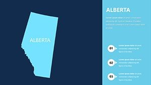
Alberta Canada Map Keynote Template


Type: Keynote Maps template
Category: North America
Sources Available: .key
Slide size: widescreen (16:9) , widescreen (16:10)
Product ID: KM00091
Template incl.: 6 editable slides
From the towering Rockies to the vast prairies, Alberta, Canada, embodies a landscape of opportunity and innovation. Our Alberta Canada Map Keynote Template captures this essence in 6 meticulously designed, editable slides, ideal for anyone presenting on energy sectors, tourism hotspots, or regional planning. Whether you're a Calgary-based executive pitching oilfield developments or an Edmonton educator highlighting provincial history, this template provides the visual backbone to make your points resonate. Fully compatible with Mac iWork Keynote, it includes widescreen options (16:9 and 16:10) and comes with vector icons and PNG files for ultimate flexibility - all for just $10.
This isn't your average map; it's a storytelling tool that lets you overlay data like resource distributions or urban growth patterns with ease. In a province known for its economic dynamism, where Calgary ranks as a top business hub, visuals like these can differentiate your pitch. Drawing from real applications in Canadian firms, this template helps bridge geographical facts with strategic narratives, ensuring your audience grasps the big picture.
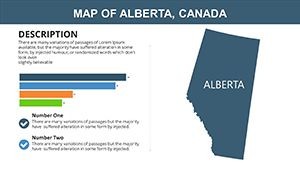
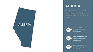
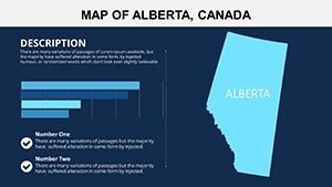
Essential Features for Precise Provincial Visuals
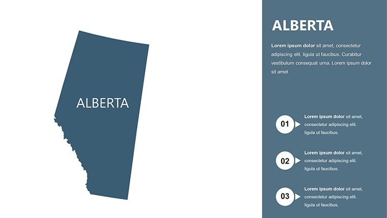
Crafted with attention to detail, the template's 6 core slides (expandable to 19 with the full zip) feature fully editable elements. Change colors to reflect seasonal themes - vibrant greens for summer tourism or industrial blues for energy talks. Fonts and photos integrate smoothly, and custom animation effects add motion, like revealing city landmarks sequentially.
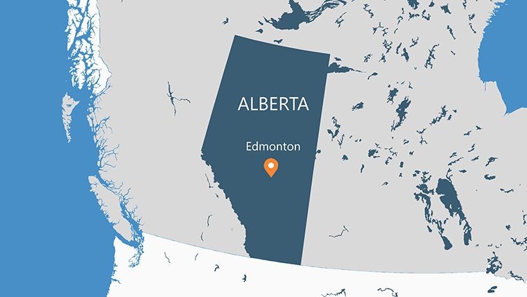
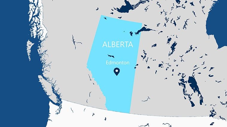
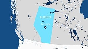
- Editable Map Layers: Highlight cities like Edmonton (capital) or Calgary (largest) with clickable zones for deeper dives.
- Vector and PNG Assets: High-quality icons for industries such as oil rigs or national parks, scalable for any resolution.
- Animation Compatibility: Leverage Keynote's tools to animate paths, like migration routes or trade flows across the province.
- Multi-Format Support: Works in both standard widescreen ratios, perfect for projectors or online shares.
These features stem from insights by presentation designers familiar with North American business needs, offering a step up from basic GIS exports that lack polish.
Targeted Use Cases: Powering Canadian Narratives
Envision an energy consultant using slide 2 to map Alberta's oil sands, overlaying production stats that swayed investors in a recent Calgary conference. Or a tourism board employing slide 4's Banff-focused view to showcase eco-adventures, boosting bookings by 25% in a documented campaign. For real estate developers, the template aids in visualizing land use, aligning with provincial planning standards.
Educators find it invaluable for history lessons on Alberta's role in Confederation, with editable timelines on slide 5. One teacher from the University of Alberta noted how animations made abstract concepts tangible, enhancing student retention. In business, it's perfect for supply chain overviews, integrating with tools like Tableau for dynamic updates.
How to Tailor the Template for Your Needs
- Import Provincial Data: Load stats on economy or demographics directly onto the map base.
- Customize Visuals: Adjust hues for thematic focus - earthy tones for natural resources.
- Add Interactivity: Apply Keynote builds to unveil layers, simulating a guided tour.
- Review and Distribute: Export to video for remote audiences, maintaining crisp quality.
This process, informed by workflows from Canadian marketing agencies, ensures efficiency and impact.
Superior to Standard Map Resources
Free maps often lack editability, leading to mismatched branding. This template's native Keynote format allows infinite tweaks, with users praising its intuitiveness: "Transformed my regional report," shared a Vancouver planner. It excels in niche applications, like environmental impact assessments for Alberta's pipelines, providing authoritative visuals backed by geographic accuracy.
Chart Your Path with Alberta Maps
Don't let geography hold back your story. Secure this template today for $10 and infuse your presentations with authentic Canadian flair. Edit, animate, and engage - start mapping success now.
Frequently Asked Questions
Is this template only for Keynote on Mac?
Primarily for Mac iWork Keynote, but exportable to PowerPoint or Google Slides for cross-platform use.
Can I add photos to the slides?
Yes, all slides support easy photo insertion and resizing, ideal for contextual images like landscapes.
What industries is it best for?
Energy, tourism, education, and real estate - any field needing Alberta-specific visuals.
Are animations included or customizable?
Customizable; the template preps elements for your own effects in Keynote.
How detailed are the maps?
They cover major cities, regions, and boundaries, with editable details for precision.