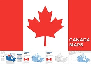
Complete Canada Keynote Maps: Provincial Precision Unleashed


Type: Keynote Maps template
Category: North America
Sources Available: .key
Product ID: KM00079
Template incl.: 22 editable slides
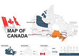
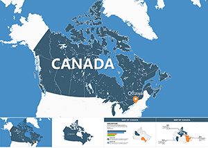
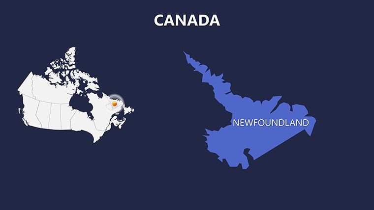
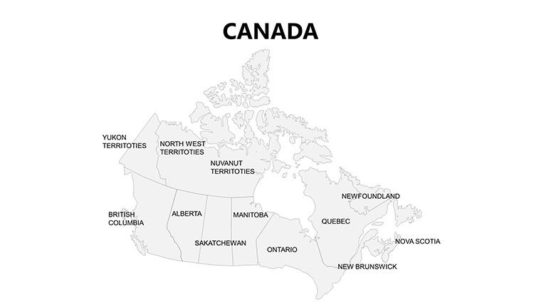
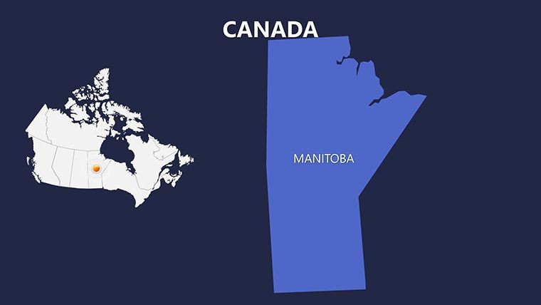
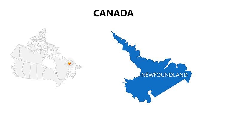
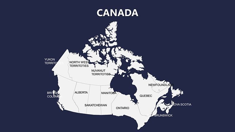
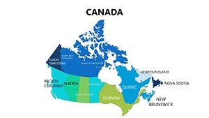
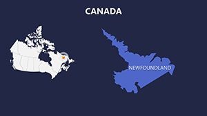
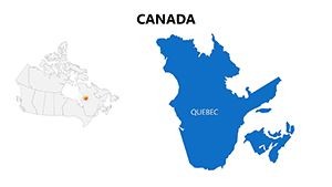
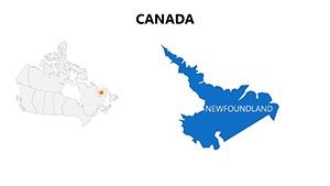
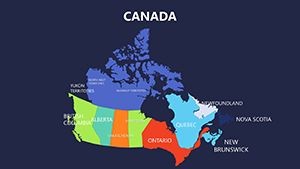
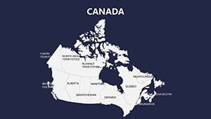
Canada's expanse - from the Atlantic shores to the Pacific fjords - demands presentations that capture its grandeur. The Complete Canada Keynote Maps template delivers with 22 editable slides, focusing on provinces like New Brunswick, Newfoundland and Labrador, and Nova Scotia, plus territories. Built for Keynote, it's a boon for anyone grappling with this "really big country," offering tools to dissect demographics, resources, and policies with finesse.
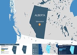
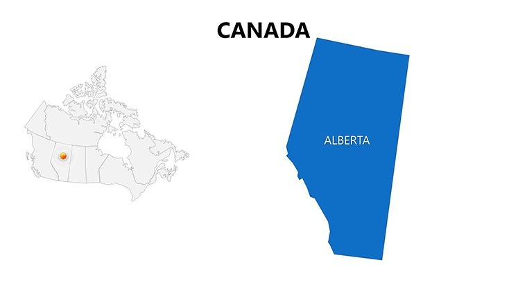
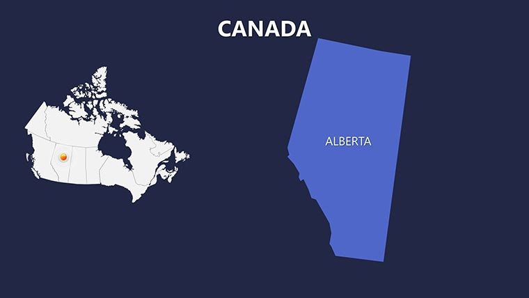
Rooted in accurate mappings from Statistics Canada, it empowers users to layer insights effortlessly. Business developers can spotlight energy sectors in Alberta, while educators trace indigenous histories across the Prairies. The template's clean vectors and PNG inclusions mean hassle-free tweaks, turning vast data into digestible visuals that hold attention.
Why This Canada Template Stands Out for Storytellers
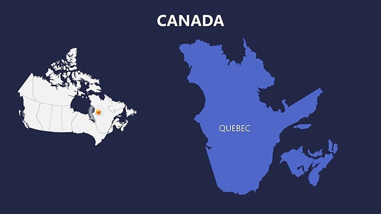
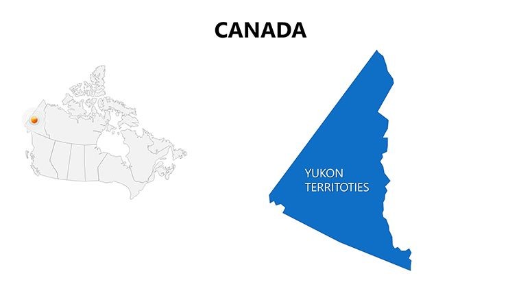
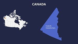
Envision slides that not only show but evoke Canada's mosaic: Editable outlines for every province allow highlighting quirks like Quebec's bilingual vibe or Yukon’s aurora zones. Unlike fragmented online resources, this provides a unified set, with animations adding motion to migrations or trade paths. Professionals in logistics use it to map Trans-Canada routes, integrating real freight stats for persuasive pitches.
Its compatibility with iWork Keynote ensures smooth operation, with formats supporting diverse outputs. A tourism consultant adapted it for eco-tour campaigns, embedding trail maps that boosted inquiries by vivid depiction.
Powerful Features for Hands-On Editing
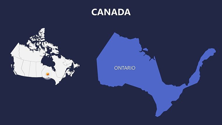
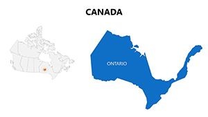
- Province-Level Customization: Alter colors and shapes for regions like Ontario, adding icons for landmarks such as Niagara.
- Vector Icons Included: Scalable graphics for resources like maple leaves or oil rigs, enhancing thematic relevance.
- Animation Flexibility: Add effects to reveal territories sequentially, simulating cross-country explorations.
- Photo and Text Ease: Swap elements quickly, overlaying stats on GDP per province from federal reports.
- PNG Backups: For non-Keynote exports, maintaining quality in PDFs or images.
Such features resolve edit bottlenecks, offering pro-grade results akin to specialized software but intuitively.
Targeted Use Cases: From Policy to Adventure
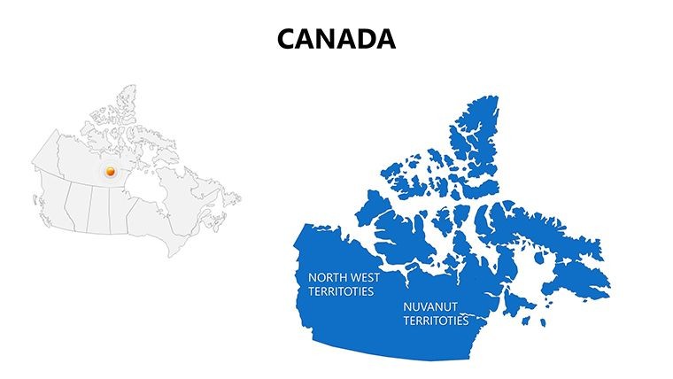
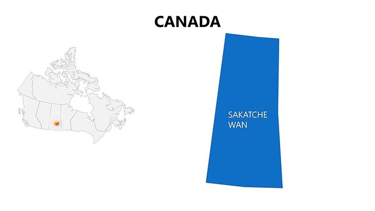
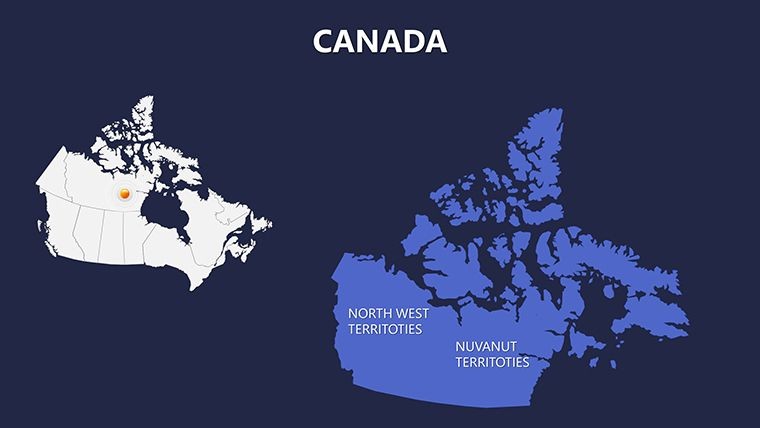
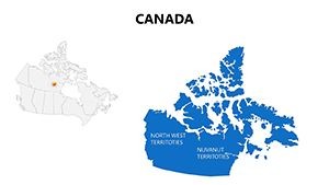
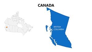
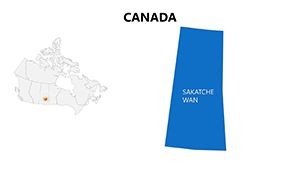
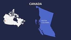
Government advisors map healthcare distributions across Maritime provinces, using editable grids for equity discussions. Energy firms visualize pipelines from Saskatchewan to BC, with data layers for risk assessments. An environmental group highlighted Arctic impacts in Nunavut slides, drawing acclaim at conferences for clarity.
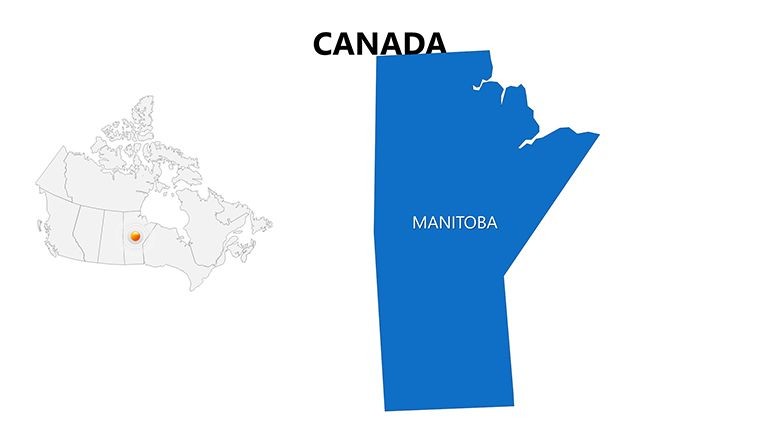
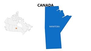
Educators craft units on confederation, animating territorial evolutions. Travel agents plot aurora chases in the North, personalizing with client prefs. The template's scope aids researchers in cultural studies, like Métis communities in Manitoba.
Team collaboration thrives with shareable files, ideal for distributed Canadian projects.
Step-by-Step Mastery Guide
- Unzip and Load: Access .key and assets in Keynote for full view.
- Edit Provinces: Select and modify, like shading forests in BC green.
- Enhance with Media: Insert Rockies images or embed climate charts.
- Animate Dynamics: Build reveals for resource flows, captivating viewers.
- Export Options: Generate shareables in multiple formats for broad use.
This method optimizes efficiency, mirroring agile design practices for timely deliverables.
Tips from the Field for Stellar Results
Structure narratively: National intro to provincial spotlights. Lighten with notes like "Eh, that's Canada!" for rapport. Ensure ARIA compliance for map accessibility.
Integrate APIs for weather overlays or link to provincial sites. Users value this for living docs in ongoing analyses.
Test on Macs for fidelity, key for Canadian audiences.
Conquer the Great White North Visually
This template is your compass for Canadian presentations. Download and customize to forge connections that span the map - ignite interest and drive decisions northward.
Frequently Asked Questions
Which Canadian regions are featured?
All provinces and territories, including editable maps for New Brunswick to Yukon.
Is it editable for business reports?
Yes, vectors allow data overlays for sectors like mining or tourism.
What animations can I add?
Custom effects for paths or highlights, enhancing geographic flows.
Are icons included?
Vector sets for cultural and natural elements, fully scalable.
Compatible with what Keynote versions?
iWork and later, with PNGs for versatility.
Can I use it for educational content?
Perfectly suited, with space for interactive learning elements.