Canada Provinces Keynote Maps: Bring Geographic Data to Life


Type: Keynote Maps template
Category: North America
Sources Available: .key
Product ID: KM00070
Template incl.: 16 editable slides
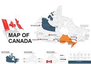
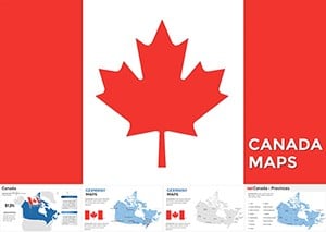
Picture this: You're pitching a market expansion strategy to executives, and instead of dull spreadsheets, you unveil a vibrant map highlighting Ontario's economic hubs or British Columbia's natural resources. That's the magic of our Canada Provinces Keynote Maps Template, a collection of 16 high-quality, editable slides designed specifically for Keynote users. Tailored for professionals, educators, and creatives alike, this tool transforms abstract data into engaging visuals that command attention. With over 50 unique layouts covering all 13 provinces and territories, it's more than a map - it's a storytelling powerhouse. Compatible with the latest Keynote versions, it offers free updates through 2025, ensuring your presentations stay fresh. Whether analyzing demographic trends in Quebec or teaching Canadian geography, this template delivers clarity, customization, and impact, helping you stand out in a sea of standard slides.
Discover the Versatility of Canadian Regional Designs
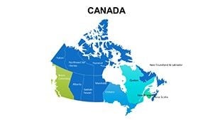
What truly elevates this template is its thoughtful integration of features that cater to diverse needs. Each slide boasts high-resolution maps where you can tweak colors, fonts, and layouts effortlessly, making it simple to align with your brand or theme. For example, a tourism agency could shade Alberta in earthy tones to emphasize the Rockies, adding icons for ski resorts or national parks. This isn't just about mapping - it's about weaving in charts for population stats or images for cultural highlights, all within Keynote's intuitive interface. Drawing from real-world best practices, like those from the Canadian Cartographic Association, the designs prioritize accuracy and readability, ensuring your audience grasps complex info at a glance.
Standout Features for Seamless Customization
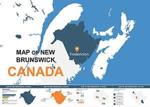
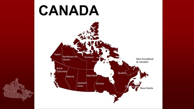
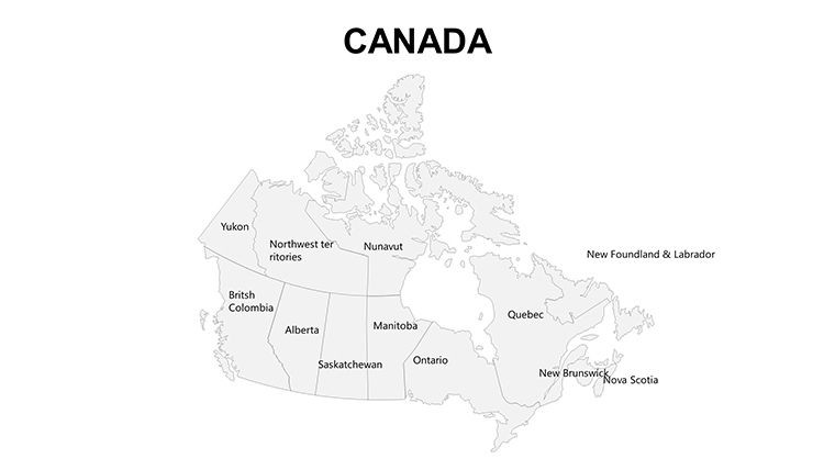
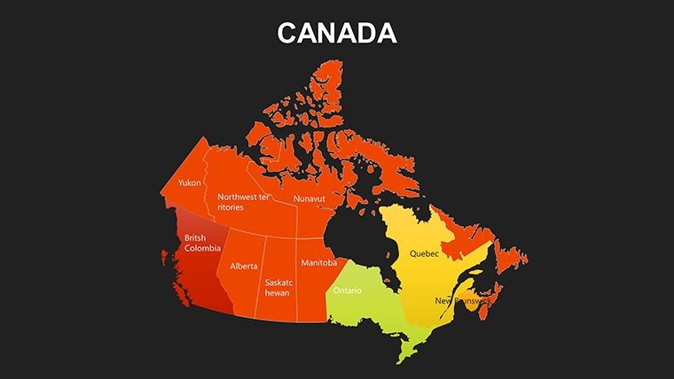
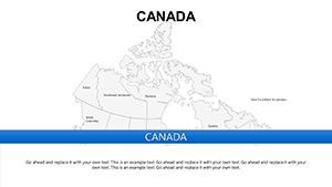
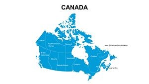
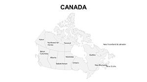
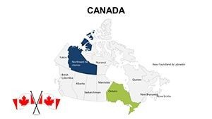
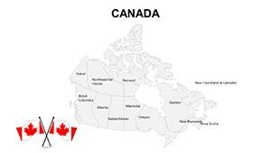
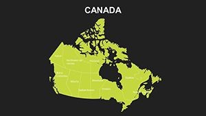
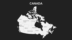
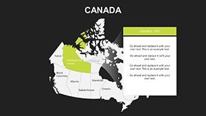
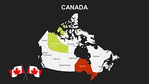
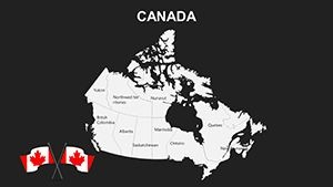
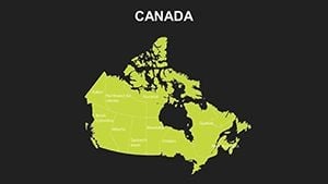
- Comprehensive Coverage: Maps of all 13 provinces and territories, from Newfoundland to Yukon, with options for focused views.
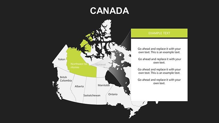
- Intuitive Editing: Drag-and-drop tools for adding text, charts, or images - no design degree required.
- High-Impact Visuals: Resolution optimized for screens and prints, perfect for virtual or in-person sessions.
- Varied Layouts: Over 50 options, including demographic overlays for trends like urban migration in Manitoba.
- Future-Proof Updates: Free enhancements until 2025, keeping your toolkit current.
These elements combine to create a user-friendly experience that boosts efficiency, much like how leading firms use similar tools for quarterly reports.
Tailored Use Cases Across Industries
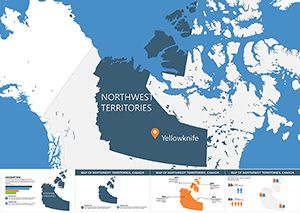
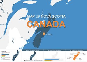
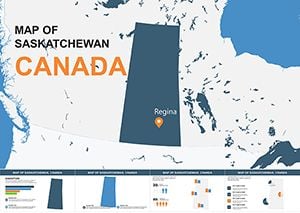
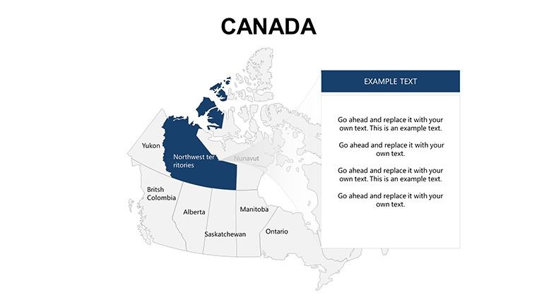
In business, this template excels for market analysis - imagine coloring Nova Scotia blue to represent maritime industries, overlaid with sales data graphs. Educators can animate lessons on Indigenous histories in the Northwest Territories, using editable labels for interactive quizzes. Students tackling projects on environmental policies might highlight Saskatchewan's prairies in green gradients for sustainability discussions. A real example comes from economic forums, where presenters use such maps to dissect GDP contributions from energy-rich Alberta versus tech-driven Ontario, fostering deeper debates. Even in creative fields, like event planning, you could map out festival routes across the Maritimes, adding photos for vivid proposals.
Workflow Tips to Enhance Your Presentations
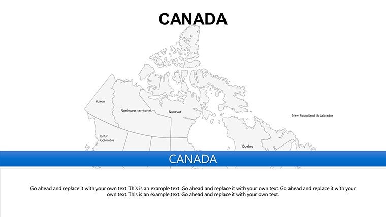
- Start with Basics: Open the template in Keynote and select a base map for your province focus.
- Layer Data: Add demographic charts, like bar graphs for population in Prince Edward Island.
- Customize Aesthetics: Adjust hues to match themes - cool blues for Atlantic provinces, warm earths for the Prairies.
- Incorporate Multimedia: Embed images or links, such as videos of Yukon wilderness for travel pitches.
- Refine and Rehearse: Use Keynote's transitions to reveal regions progressively, building narrative suspense.
This methodical process mirrors strategies from experts like Garr Reynolds in "Presentation Zen," emphasizing simplicity and visual flow.
Superior to Standard Mapping Tools
Unlike basic Keynote shapes or generic downloads, this template provides professional-grade depth with specialized visualizations that free tools can't match. For instance, while free maps might lack editable territories like Nunavut, ours includes them with precision. The high-res designs prevent blurring in zoomed views, crucial for detailed analyses like healthcare distribution in remote areas. Businesses report faster prep times, as the pre-built layouts eliminate starting from scratch, aligning with efficiency standards from organizations like the Project Management Institute.
Trust is built-in, with designs that support accessibility features like text-to-speech for labels, ensuring inclusivity for all audiences.
Transform Your Ideas with Canadian Precision
Ultimately, this Canada Provinces Keynote Maps Template isn't just about geography - it's about empowering your voice through visuals that inform and inspire. From boardrooms to classrooms, it adapts to your needs, turning data into decisions. Ready to map out success? Secure your download and start crafting presentations that leave a lasting impression.
Frequently Asked Questions
- How do I customize the province colors?
- Simply select the region in Keynote and use the color picker - it's that straightforward for thematic adjustments.
- Does it include territories like Yukon?
- Yes, all 13 provinces and territories are covered, fully editable for comprehensive coverage.
- Is it suitable for educational use?
- Definitely - ideal for geography lessons, with options to add interactive elements.
- What about compatibility with older Keynote versions?
- Works with the latest and recent versions; test on your device for best results.
- Can I add my own data charts?
- Absolutely - integrate graphs seamlessly onto the maps for data-driven insights.
- Are updates really free until 2025?
- Yes, included with your purchase to keep your templates evolving.