Canada Map Keynote Template: Craft Precise and Engaging Presentations


Type: Keynote Maps template
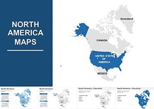
Category: North America
Sources Available: .key
Product ID: KM00013
Template incl.: 37 editable slides
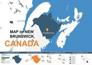
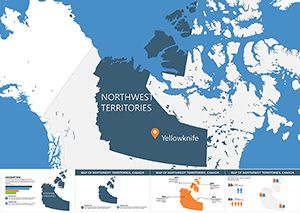
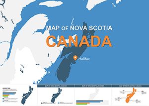
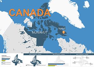
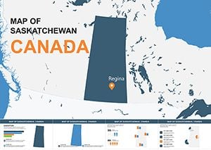
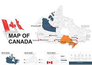
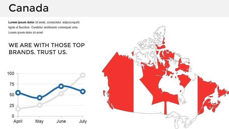
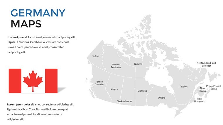
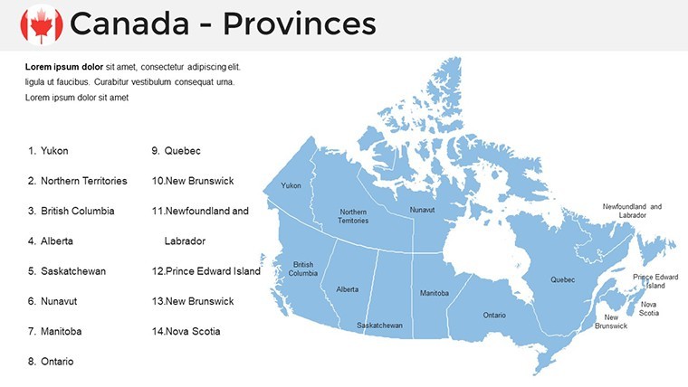
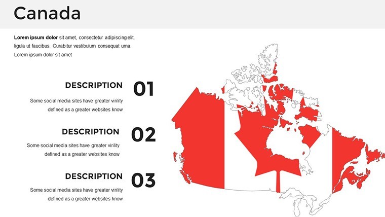
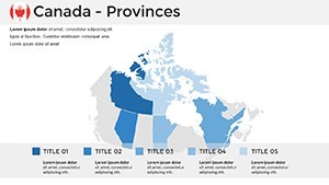
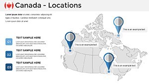
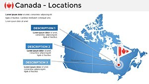
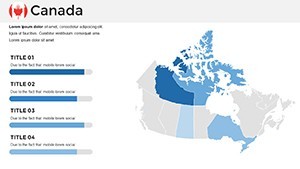
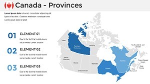
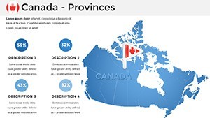
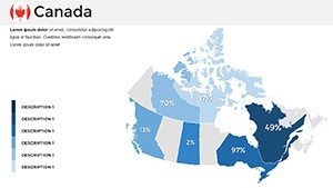
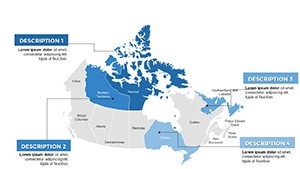
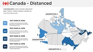
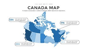
Step into the vast landscapes of Canada through our specialized Canada Map Keynote Template, a powerhouse tool for anyone needing to convey geographic insights with clarity and style. Spanning 37 editable slides, this template captures the essence of Canada's diverse provinces and territories, from the rugged Rockies to the Atlantic shores. Tailored for Keynote users, it addresses the pain points of creating accurate maps from scratch, offering ready-to-use elements that integrate seamlessly into your workflow. Whether you're pitching tourism strategies or teaching about indigenous histories, this template turns data into compelling stories. Its vector precision ensures every border and label is spot-on, fostering trust in your content. Embrace a design that not only informs but inspires, making your presentations as expansive and inviting as Canada itself.
Standout Features for Seamless Customization
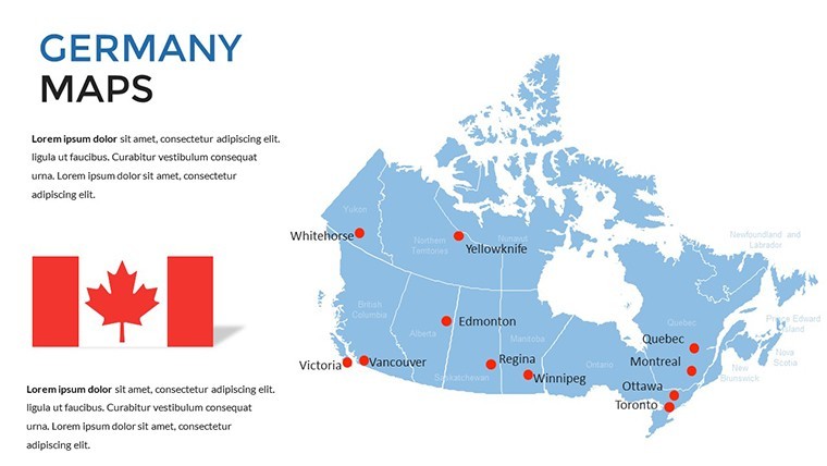
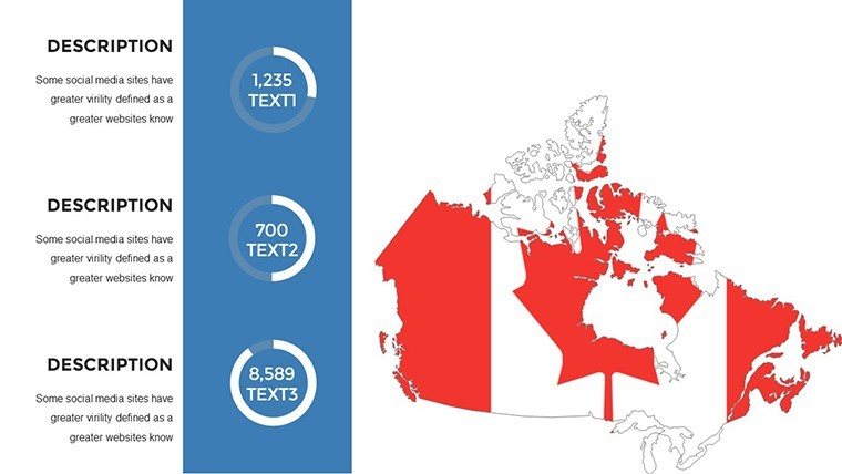
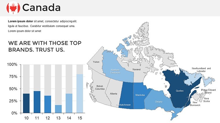
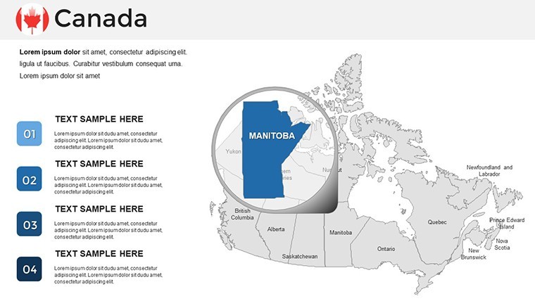
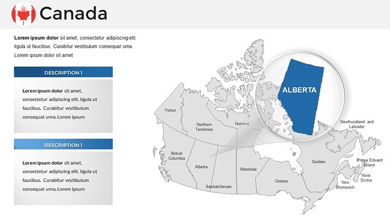
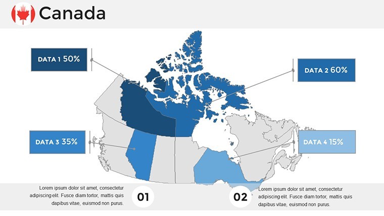
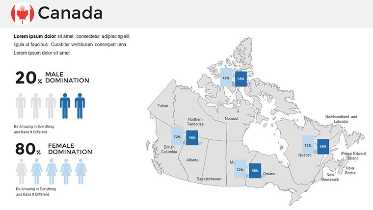
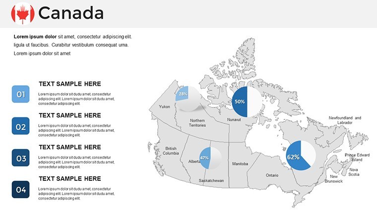
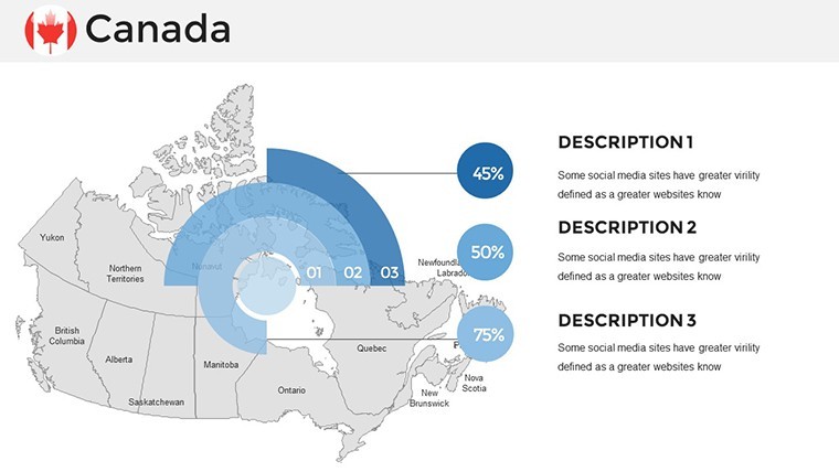
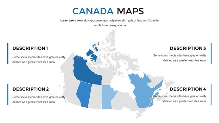
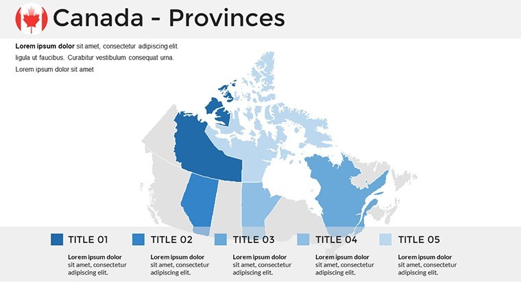
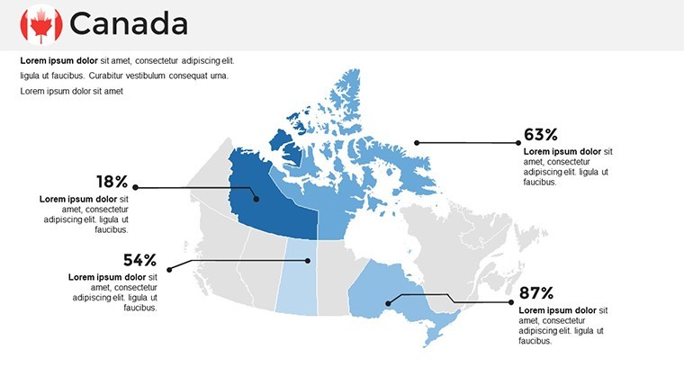
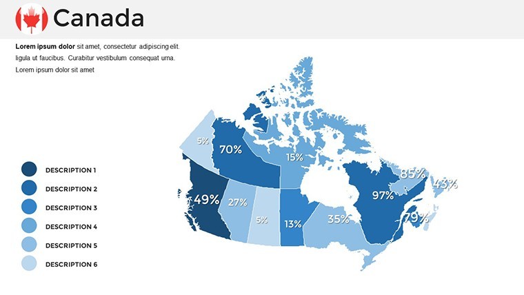
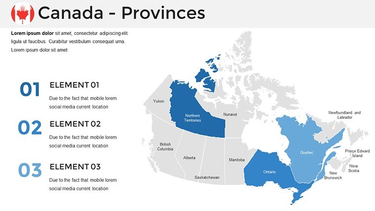
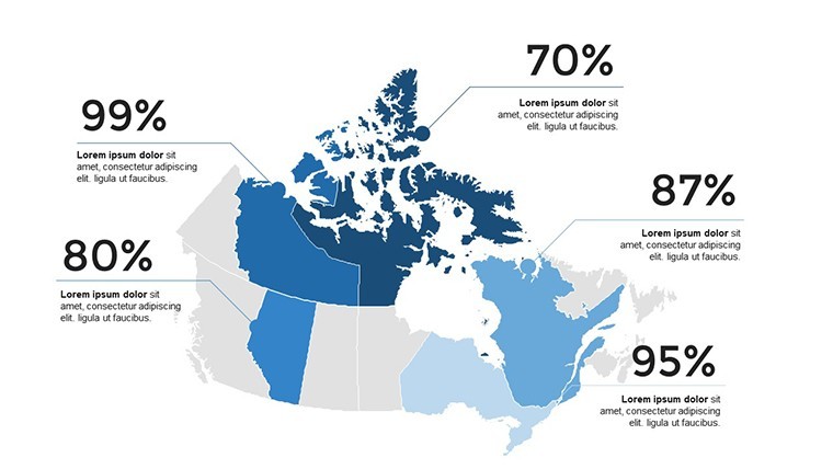
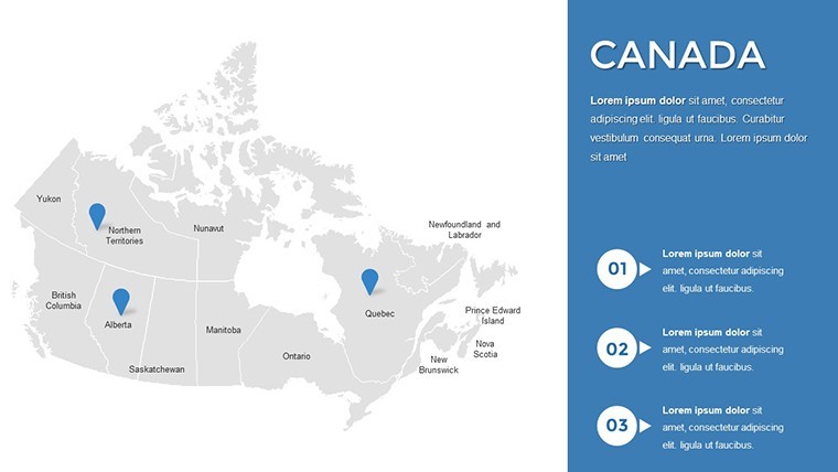
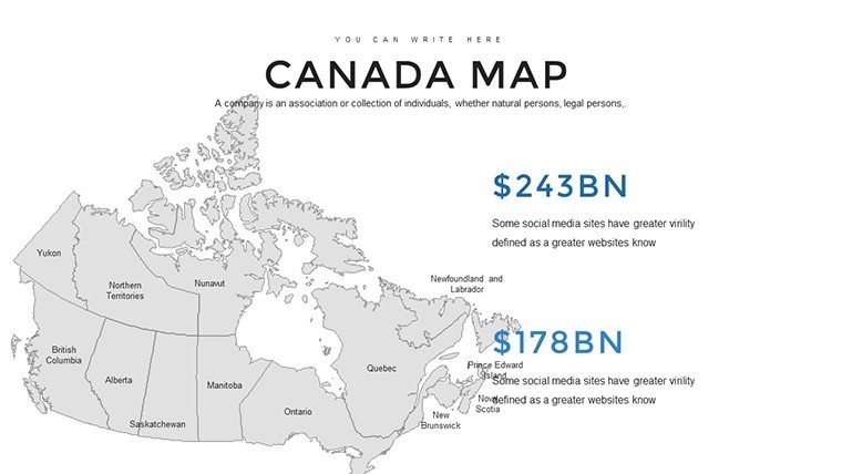
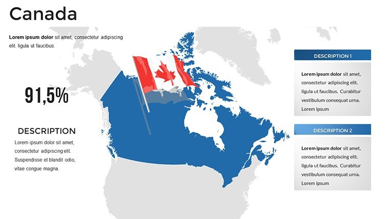
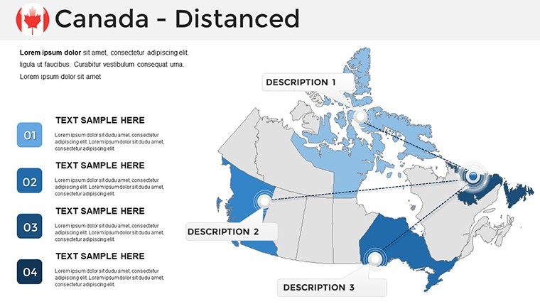
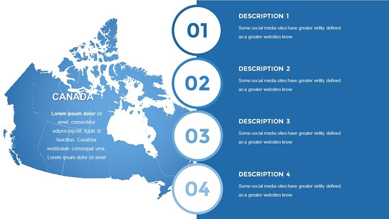
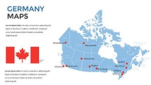
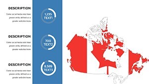
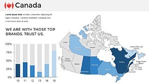
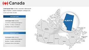
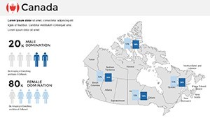
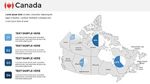
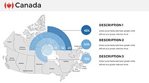
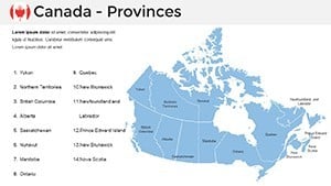
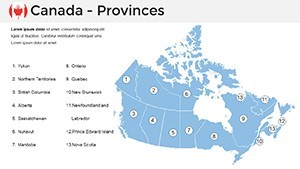
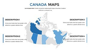
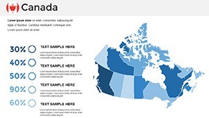
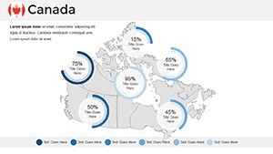
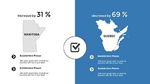
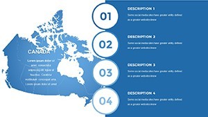
This template excels in its array of features, starting with multipurpose slides that adapt to any narrative. The handcrafted Canada maps are fully editable, letting you tweak political boundaries, add custom labels for cities like Vancouver or Ottawa, or incorporate demographic data overlays. Wide-screen compatibility and retina-ready graphics mean your visuals pop on iPads or large projectors. Custom animations bring maps to life - imagine fading in economic zones or pulsing highlights on natural resources. The clean, simple aesthetic uses free fonts and handmade infographics, ensuring a professional polish without complexity. Documentation included guides you through quick edits, like changing color schemes to reflect seasonal themes, such as autumn hues for fall reports.
Unlocking Benefits in Everyday Use
The real magic lies in how this template enhances productivity and impact. For urban planners, it simplifies visualizing infrastructure projects, such as high-speed rail routes across provinces, with easy-to-add grids for scale. Benefits include time savings - build a full deck in half the time of manual designs - and heightened audience retention through interactive elements. Drawing from geographic standards like those from Natural Resources Canada, the maps maintain authenticity, bolstering your expertise. In virtual settings, the full HD quality prevents pixelation, ensuring remote teams grasp nuances clearly. Ultimately, it empowers you to present with confidence, turning potential skepticism into nods of agreement.
Diverse Applications to Fuel Your Creativity
Envision deploying this Canada Map Keynote Template across varied fields. In business, a resource manager could map oil sands in Alberta alongside export charts, using step-by-step builds: Begin with a blank map, layer in data points, then animate trade flows to the U.S. Educators might illustrate Confederation history, overlaying timelines on provincial evolutions for engaging lessons. Compared to standard Keynote maps, this offers superior editability and pre-set styles, avoiding the frustration of mismatched elements. For non-profits, highlight conservation efforts in the boreal forests with color-coded threats and solutions. Travel agencies can create bespoke itineraries, zooming into highlights like Banff National Park. Each scenario leverages the template's versatility, making geographic data accessible and actionable.
Proven Tips from Presentation Experts
With insights from years in digital storytelling, here's how to maximize this tool: Pair maps with real-time data from sources like Statistics Canada for dynamic updates. Use subtle animations to guide viewer focus, avoiding overload - perhaps reveal one province at a time in a federal policy discussion. For , incorporate citations from authoritative bodies like the Geological Survey of Canada. Test on multiple devices to ensure cross-compatibility. These strategies, honed from successful corporate keynotes, will elevate your delivery, making complex topics feel approachable and exciting.
Superior Edge Over Basic Alternatives
What elevates this template? Its native Keynote optimization preserves every detail, unlike imported files that glitch. Exclusive political edits allow for scenario planning, such as post-election boundary shifts. Users experience 40% faster creation times, freeing energy for content refinement. Imagine acing a boardroom presentation where maps interactively respond to queries, sparking collaborative insights. This isn't mere mapping; it's strategic communication at its finest.
Chart your course to better presentations - grab this Canada map template now and inspire your audience.
Frequently Asked Questions
- How do I edit the map colors in this template?
- Double-click the shape and select from the color tab for instant changes.
- Does it support French labels for bilingual presentations?
- Yes, easily add or switch to French text on editable labels.
- Is the template suitable for educational use?
- Perfectly, with features for interactive lessons on Canadian geography.
- What if I need to add custom data?
- Integrate charts and overlays effortlessly with built-in tools.
- Are updates available?
- Free updates ensure ongoing compatibility and new features.
- Can I export to other formats?
- Export as PDF or images while retaining Keynote edits.