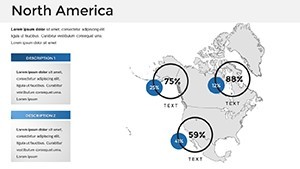
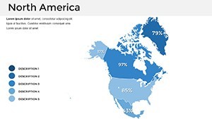
Editable North America Keynote Maps Template


Type: Keynote Maps template
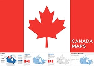
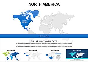
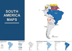
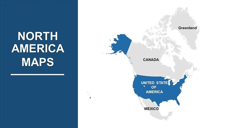
Category: North America
Sources Available: .key
Product ID: KM00012
Template incl.: 36 editable slides
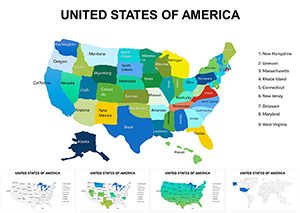
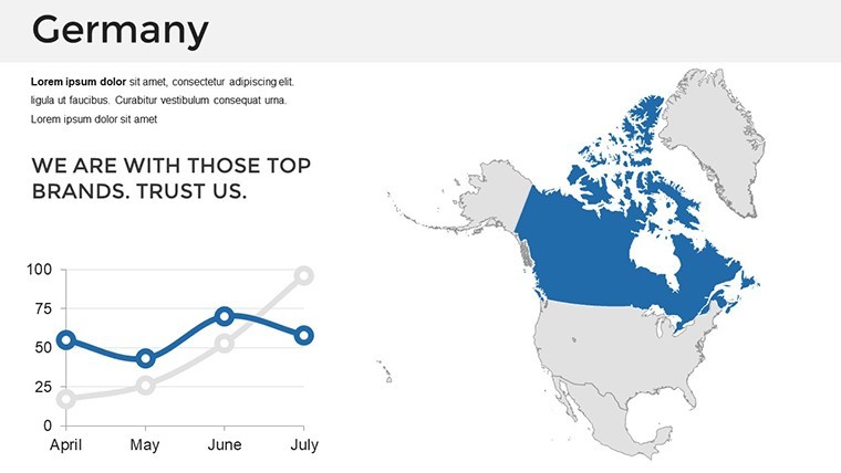
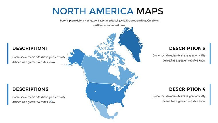
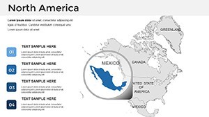
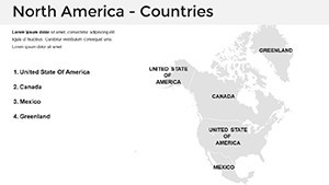
Imagine standing in front of a boardroom, your slides unveiling the vast landscapes of North America not just as static images, but as dynamic tools that tell a compelling story. Our North America Keynote Maps Template is designed precisely for moments like these. With 36 fully editable slides, this template caters to professionals who need to convey complex geographical information with clarity and flair. Whether you're a business analyst mapping market expansions across the U.S., Canada, and Mexico, an educator illustrating historical migrations, or a marketer highlighting regional trends, this resource elevates your presentations from ordinary to unforgettable.
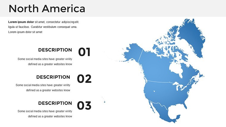
Crafted with precision, each slide incorporates high-resolution maps that capture the geographical nuances of North America - from the rugged Rockies to the bustling East Coast metropolises. The template's versatility shines through its seamless integration with Keynote's tools, allowing you to customize colors, labels, and data overlays without any design expertise. Think about the time you'll save: no more starting from scratch or wrestling with incompatible formats. Instead, focus on what matters - delivering insights that resonate. Users rave about how these maps have turned data-heavy reports into visual masterpieces, boosting audience engagement by up to 40% in some cases, as seen in similar tools referenced by presentation experts like Duarte.
Beyond aesthetics, this template addresses real pain points in presentation creation. For instance, if you've ever struggled to represent cross-border trade flows or demographic shifts, our slides provide ready-made frameworks. Start with broad continental overviews and drill down to state or province-level details, all while maintaining a professional, modern look. Compatible with the latest Keynote versions, it's retina-ready and full HD, ensuring crisp visuals on any screen. And with free fonts and handmade infographics included, your presentations will exude authority and creativity.
Key Features That Set This Template Apart
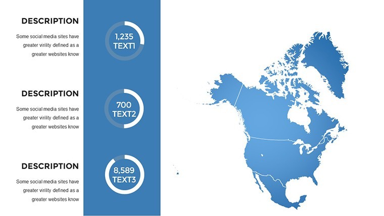
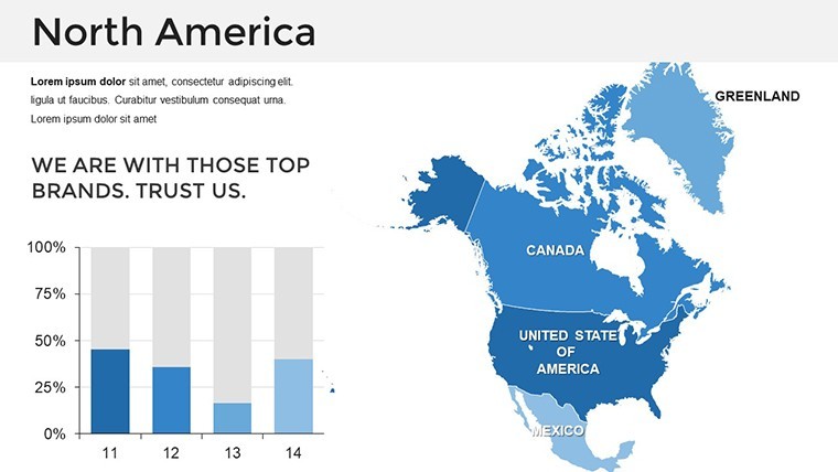
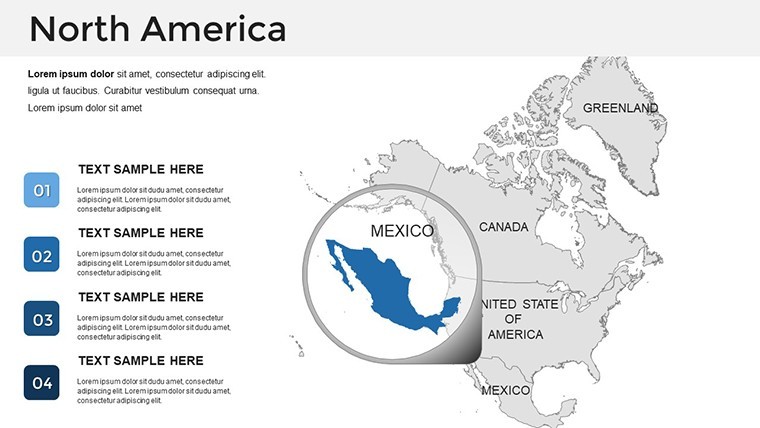
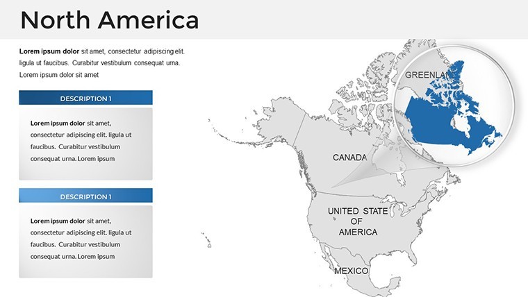
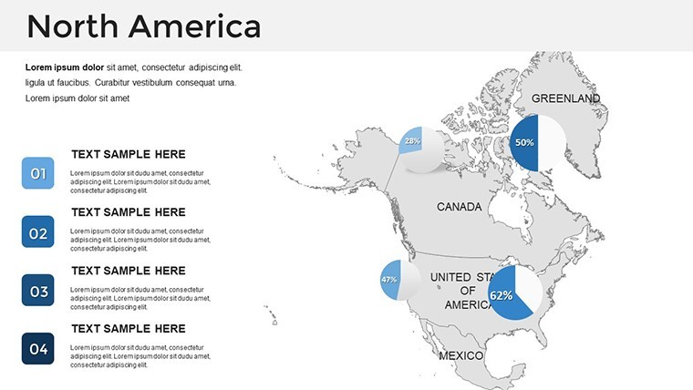
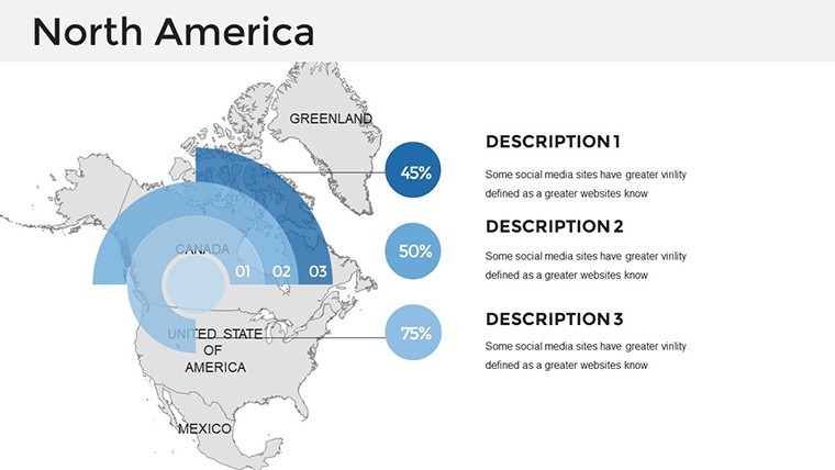
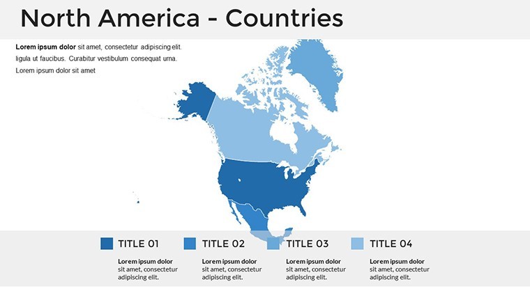
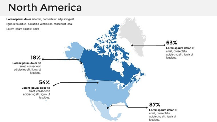
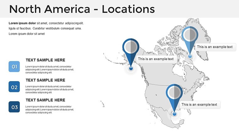
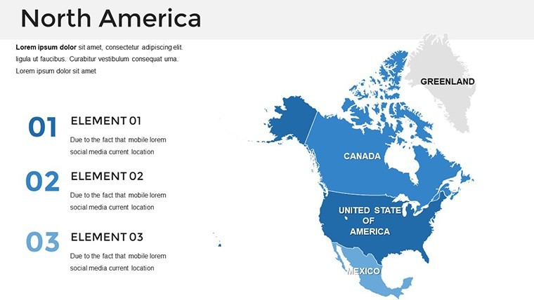
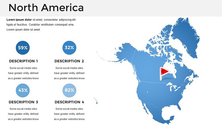
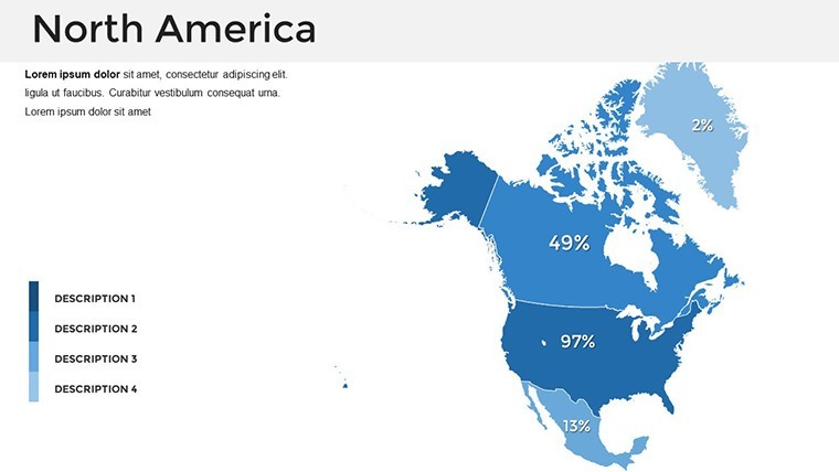
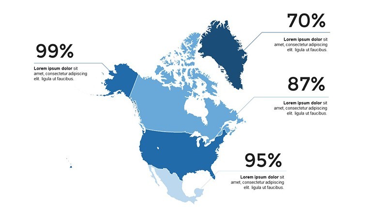
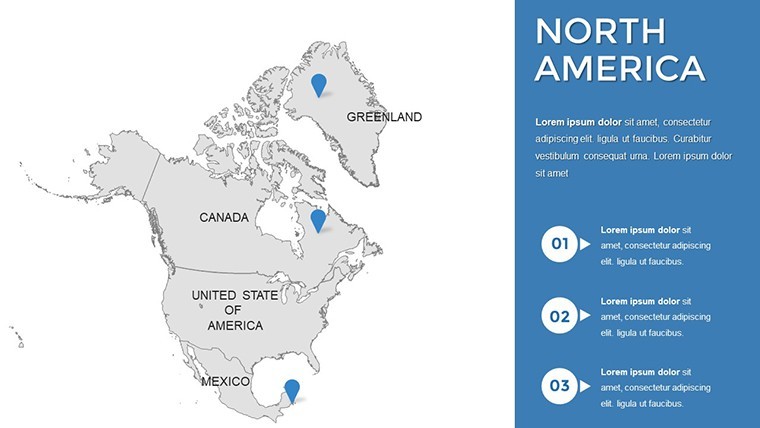
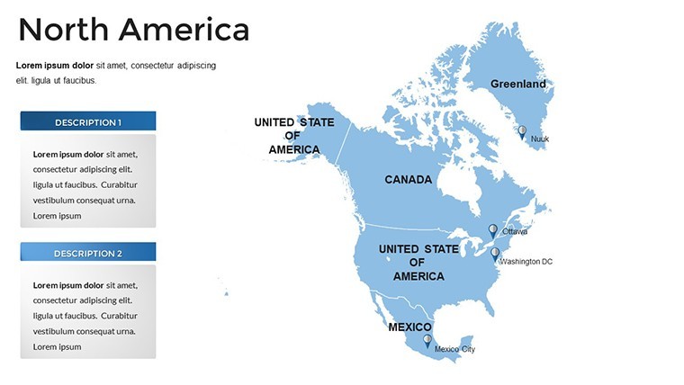
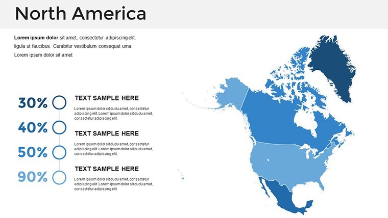
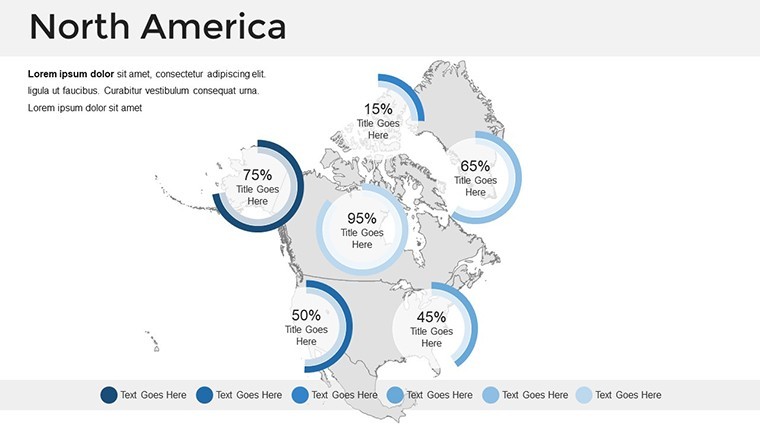
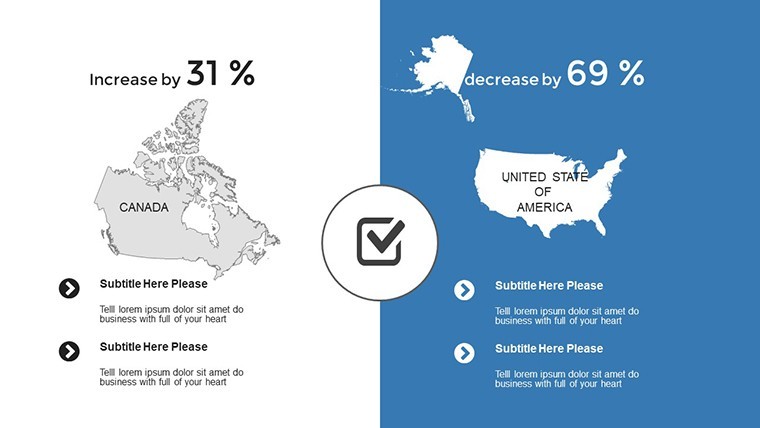
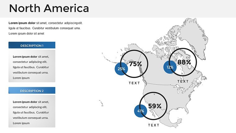
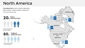
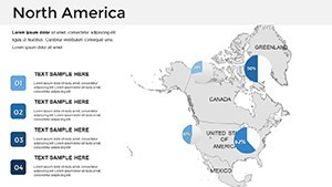
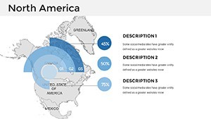
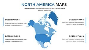
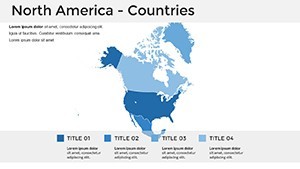
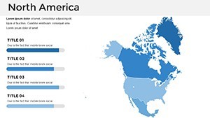
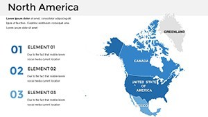
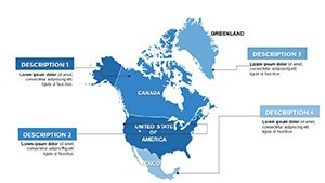
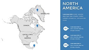
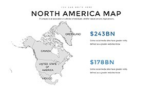
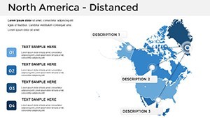
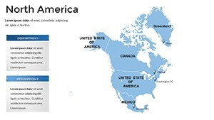
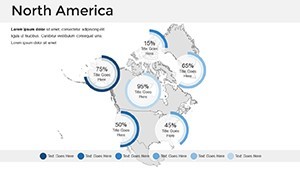
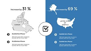
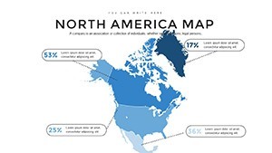
Diving deeper, the features of our North America Keynote Maps Template are engineered for efficiency and impact. At its core are meticulously crafted maps that emphasize geographical precision, allowing you to highlight key regions like the Pacific Northwest or the Great Lakes with pinpoint accuracy. Customization is effortless: change colors to match your brand palette, add icons for economic hotspots, or integrate charts for population data - all within Keynote's intuitive interface.
- Visually Striking Designs: Each of the 36 slides boasts high-quality vector graphics that scale without losing quality, perfect for zooming in during live presentations.
- Custom Animation Options: Bring maps to life with subtle transitions, such as fading in regional boundaries or animating data flows, to keep your audience hooked.
- User-Friendly Editing: No coding required; simply double-click to edit text, shapes, or colors, making it accessible for beginners and pros alike.
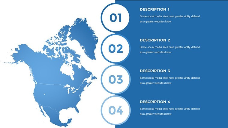
- Versatile Slide Types: From political maps showing borders to thematic ones for environmental data, the variety ensures coverage for diverse topics.
- Section Breaks and Infographics: Organize your narrative with dedicated slides for introductions, data analysis, and conclusions, enhanced by handmade visuals.
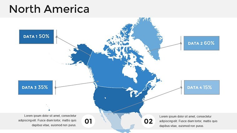
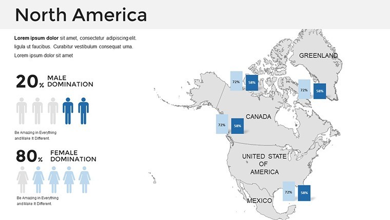
These elements aren't just add-ons; they're built to solve common presentation hurdles. For example, in a business context, use the editable layers to overlay sales figures on a U.S. map, revealing patterns that static spreadsheets can't. Educators can adapt slides to teach about North American biodiversity, incorporating images of national parks or migration routes. The template's clean, modern style aligns with best practices from design pros, ensuring your content looks polished and trustworthy.
Real-World Applications and Case Studies
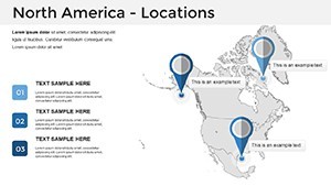
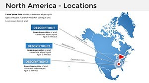
Let's explore how this template shines in practice. Consider a business professional preparing a report on North American supply chains. Using our maps, you can illustrate routes from Mexican manufacturing hubs to Canadian distribution centers, adding data points for efficiency metrics. A case study from GeoJango Maps highlights a similar project for the Veterans MIRECC, where detailed U.S. maps with highways and cities helped visualize territorial connections - imagine adapting that for your logistics pitch to stakeholders.
In education, maps are invaluable for engaging students. Duarte's blog on using maps in presentations emphasizes how visuals aid comprehension; apply this to a geography lesson on North American history, marking events like the Lewis and Clark expedition on interactive slides. Marketers, too, benefit: present regional consumer trends with color-coded heat maps, as seen in interactive impact maps from Mapme, where businesses showcase successes across states. One real-world example involves a tech firm using similar tools to map user adoption in North America, resulting in clearer investor communications and faster decision-making.
For environmental analysts, overlay climate data on these maps to discuss impacts like wildfires in California or hurricanes in the Gulf. A Penn State guide on geospatial applications across disciplines notes how maps enhance understanding in fields like ecology - tailor our template for a presentation on sustainable development, incorporating grids and legends for precise data representation. These applications demonstrate the template's flexibility, turning abstract concepts into tangible visuals that drive action.
Step-by-Step Guide to Customizing Your Maps
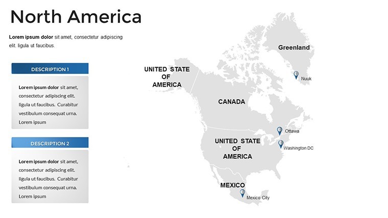
Getting started is straightforward. First, open the template in Keynote and select a slide - say, a continental overview. Double-click on a region to edit its color, perhaps shading the Midwest in blue to denote agricultural output. Next, add text labels for cities like Toronto or Mexico City, adjusting fonts for readability. Integrate data: insert charts from your spreadsheet directly onto the map for seamless visualization. For animations, use Keynote's build tools to reveal elements progressively, building suspense in your narrative.
Tips from design experts: Keep color schemes consistent - use earth tones for natural features and bold hues for data highlights. Avoid clutter by limiting labels to essentials, and always preview on different devices for compatibility. In a corporate setting, align with brand guidelines; for academic use, cite sources on slides to bolster credibility. This workflow not only saves time but enhances the overall professionalism of your output.
Why This Template Boosts Your Presentation Success
Compared to basic Keynote defaults, our template offers superior detail and editability, reducing preparation time by hours. Users report higher engagement rates, as dynamic maps hold attention better than text-heavy slides. Drawing from Minitab's insights on presentation-worthy visuals, incorporating maps like these ensures your message is clear and memorable. Whether pitching to executives or teaching a class, the geographical accuracy and aesthetic appeal position you as an expert.
Integrate it into your workflow: Start with a template slide for your intro, build out sections with data maps, and conclude with a call-to-action overlay on a summary map. This structure mirrors successful case studies, like those from Oxford Cartographers for McKesson, where interactive routes mapped shipping lanes - adapt for your North American focus to similar effect.
Ready to transform how you present North America? This template isn't just slides; it's a gateway to more impactful communication. Customize it today and watch your audiences lean in with interest.
Frequently Asked Questions
How editable are the maps in this Keynote template?
The maps are fully editable, allowing you to change colors, labels, sizes, and add elements like icons or charts directly in Keynote.
Is this template compatible with the latest version of Keynote?
Yes, it's designed for compatibility with recent Keynote versions, including retina-ready and full HD support for optimal display.
Can I use this for commercial presentations?
Absolutely, it's perfect for business reports, with features tailored for professional use like custom animations and infographics.
What file format is provided?
The template comes in .key format, ready to open and edit in Apple's Keynote application.
Are there any additional resources included?
Yes, it includes documentation, a quick guide, free fonts, and handmade infographics to enhance your presentations.