Place Location Word Template: Mapping Global Narratives with Ease
Type: Word templates template
Category: Transport - Logistics
Sources Available: .dotx, .jpg
Product ID: WT01178
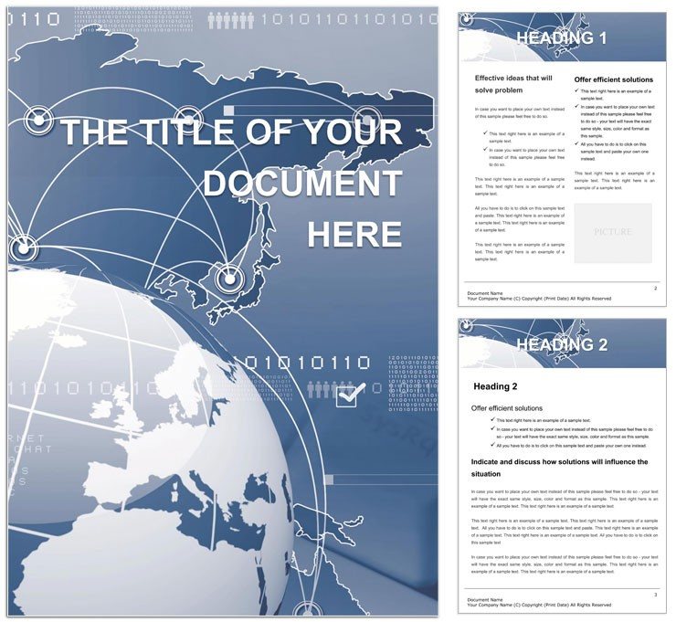
Envision compiling a report on international trade routes or urban development stats, only to wrestle with scattered data and uninspired layouts. The Place Location Word Template changes that, offering a sophisticated framework for professionals in logistics, economics, and policy who need to pinpoint locations with impact. This 28-page template is your compass for creating official papers that not only inform but also illuminate - whether tracking world records in shipping milestones or dissecting global economy trends.
Rooted in the demands of transport and logistics, it provides structured sections for geographic data visualization, from coordinate tables to route timelines. Benefits abound: Streamlined formatting means more time analyzing trends, less on aesthetics, and outputs that hold weight in boardrooms or regulatory filings. It plays nice with Word 2013+, Mac's Pages, and open-source alternatives like LibreOffice, facilitating global team collaborations without compatibility headaches.
Standout elements include geospatial icons and embeddable maps placeholders, ready for your GIS exports. Replace dummy lat/long entries with real metrics, and the adjacent charts update to reflect shipment volumes or economic indicators. It's crafted for the interconnected world, where a single doc can bridge continents.
Essential Features for Location-Driven Documents
The template's architecture prioritizes usability, with intuitive elements that adapt to your data story. Navigation is a breeze thanks to a hyperlinked table of contents, jumping from "Regional Overviews" to "Economic Impacts."
- Map Inserts: Blank canvases for vector maps, scalable and annotatable. Label key sites like ports or hubs with callouts that link to detail pages.
- Data Tables: Configurable rows for place details - name, coordinates, significance - with sorting by distance or GDP contribution.
- Icon Sets: Thematic graphics for transport modes (ships, planes), with alt descriptions like "Icon of global trade route connecting Asia to Europe."
- Layout Styles: Balanced margins and grid alignments for multi-column layouts, ideal for side-by-side comparisons of locations.
Don't miss the summary dashboard page: A one-pager aggregating key stats with pie charts for market shares. It's reminiscent of how the World Bank formats their logistics performance indices - data-dense yet digestible.
Fitting It into Your Reporting Routine
Implementation is simple: Open in Word, input your dataset into the "Location Inventory" table, and watch formulas calculate totals. Then, populate map placeholders with screenshots from tools like Google Earth. Export options include PDF for archives or interactive HTML for web shares. This process echoes the workflows of supply chain analysts at firms like DHL, turning raw logs into strategic assets.
Versatile Applications: Official Papers to Logistics Briefs
This template thrives in diverse settings. For official records, use the certification pages to document world-firsts in eco-shipping, with timelines chronicling achievements. In global economy reports, the trend analysis section dissects trade volumes by region, using bar graphs to spotlight shifts like rising African ports.
Logistics pros can leverage it for route optimization docs: Detail delivery paths with pros/cons lists, factoring in geopolitical risks. Imagine a coordinator at Maersk using the template to brief on rerouting amid disruptions - the visual routes make alternatives crystal clear. For policy briefs, embed economic data tables to argue for infrastructure investments, complete with source footnotes.
Extend to marketing materials: Highlight your firm's global footprint in proposals, with the place locator page as a showcase. Or in academic papers: Structure lit reviews around key locales, ensuring citations flow logically.
Why It Outshines Plain Word Files
Standard Word docs often devolve into cluttered lists, but this template enforces structure with locked sections and auto-formatting. Visuals integrate natively - no clunky inserts - while basic setups lack the geospatial flair that makes locations leap off the page. Sharing across borders? Its universal compatibility avoids the pitfalls of platform-specific glitches, like font substitutions on Linux.
It's akin to a GPS versus a paper map: Precise, updatable, and always oriented toward your destination.
Insights to Enhance Your Global Docs
Boost effectiveness by layering context: In tables, add hyperlinks to external datasets for deeper dives. Keep visuals sparse - one map per two pages - to avoid overload. For flair, use Word's watermark tool on cover pages with subtle globe motifs, evoking worldwide scope.
Maintain a template vault for variants, like one for maritime versus air logistics. This ensures brand consistency while allowing quick spins on recurring reports. Test print layouts early to confirm map legibility in black-and-white.
Set your course for superior reports? Secure the Place Location Word Template now and navigate data with newfound clarity.
Frequently Asked Questions
What types of locations does it cover?
Any - from urban centers to remote depots, with flexible fields for customization.
How do I embed interactive maps?
Insert hyperlinks to online tools; for static, use image placeholders with overlaid text.
Is it compatible with mobile editing?
Yes, via Word Mobile or iOS Pages for on-the-go tweaks.
Can I add custom metrics?
Easily - extend tables with columns for your unique KPIs like carbon footprints.
Does it include economic data examples?
Sample placeholders are provided, ready for your real-world figures.