Unlock the power of geographic storytelling with our Scandinavia PowerPoint maps. These templates combine accurate outlines of Sweden Norway Denmark and more with fully editable features that make your presentations visually striking and data-rich.
Ideal for business analysts educators marketers and researchers our maps allow you to highlight trade flows visualize demographic data and create engaging slides effortlessly. Customize colors add pins or integrate charts to communicate complex information clearly.
From minimalist wireframes to vibrant shaded designs each map is vector-based ensuring crisp display on any screen or projector. Boost your presentation impact and save preparation time with ready-to-use professional layouts.
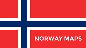
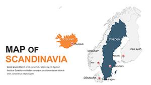
Scandinavia PPT Maps Template: Editable & Accurate
ID: #PM00003
$40.00
(228)
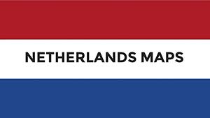
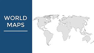
World Maps PPT Template for Global Insights
ID: #PM00002
$38.00
Why Choose Scandinavia PowerPoint Maps
Scandinavia PowerPoint maps transform static geographic information into interactive visual stories. Unlike default PowerPoint maps these templates provide precision detail and layered customization options.
Real-World Applications
Business Reports: Visualize market trends and regional performance clearly
Education: Illustrate history geography or climate studies effectively
Marketing: Highlight target demographics and regional campaigns
Tourism Planning: Map scenic routes and attractions
Benefits Over Default Templates
High precision outlines and vector qualityCustomizable layers and color schemesReady-to-use professional layoutsSeamless chart and infographic integration
Creative Tips
Use consistent palettes for clarity and visual appeal
Limit layers to 3-5 for clean presentation
Animate zooms or highlights to emphasize key data
Enhance your slides with interactive elements and download the full set of Scandinavia maps for 2026 to elevate any presentation.
FAQs
Are these maps editable in PowerPoint
Yes each map is fully editable allowing color changes data overlays and label customization.
Can I use these maps for business presentations
Absolutely the templates are designed for professional use in reports marketing analysis and regional planning.
Do the maps include all Scandinavian countries
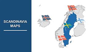
Yes templates cover Sweden Norway Denmark Finland and Iceland with precise geographic details.
Are these templates suitable for educational projects
Yes they are perfect for classroom presentations academic reports and research projects requiring clear visual aids.
Can I integrate charts and infographics
Yes these maps support embedding charts infographics and other visual data elements seamlessly.