Unveil the rugged beauty of landscapes with our physical PowerPoint maps templates, emphasizing elevation, rivers, and landforms over political lines. These designs capture the essence of topography, making them essential for conveying natural features in presentations that educate and inspire.
Aimed at geologists, environmentalists, and outdoor enthusiasts, they deliver layered relief shading for realistic depth. Advantages range from heightened visual interest to simplified explanations of physical processes.
Build immersive narratives by stacking elements like fault lines or biomes. Dive into our collection and select a template to ground your content in reality.
Physical PowerPoint maps prioritize the natural world, rendering mountains, valleys, and waterways with artistic precision. They bridge the gap between data and discovery, allowing presenters to explore earth`s surface in engaging ways.
Geographers use them for plate tectonics demos, while planners assess flood risks - practicality meets artistry.
Illustrate erosion patterns with shaded relief, helping audiences grasp conservation needs through tangible visuals.
Guide tours with trail maps, highlighting physical challenges and scenic rewards.
Assess site suitability by mapping slopes and water flows, informing sustainable builds.
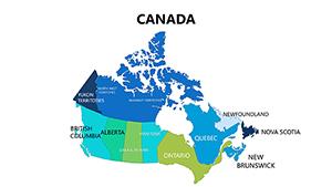
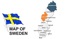
In contrast to political maps that flatten complexity, physical templates add dimension, making abstract geography feel alive and relevant.
Employ cool tones for water bodies and warms for highlands to enhance contrast. Animate contour lines to simulate rising elevations, captivating viewers step by step.
Unique to these are tactile simulations - use gradients to mimic satellite imagery, pulling in remote sensing data for authenticity. Creative application: Integrate with photo inserts for hybrid real-virtual explorations.
Expert advice: Calibrate scales accurately to maintain proportional integrity across slides.
Ground your message in the earth`s story. Grab a physical PowerPoint map template and elevate your visuals today.
Copyright © 2009-2026 ImagineLayout All rights reserved.