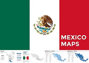
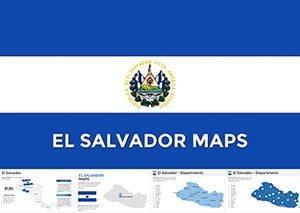
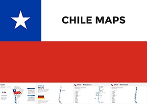
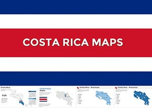
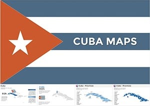
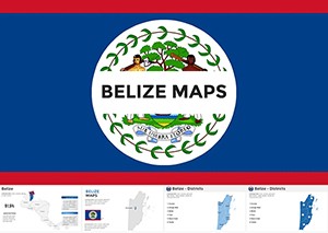
Elevate your Keynote presentations with our exquisite collection of Central America map templates, where the rich tapestry of this narrow bridge between continents unfolds in stunning detail. Encompassing Belize`s coral reefs to Panama`s engineering marvels, these templates cover the seven nations that define the heart of the Americas: Costa Rica, El Salvador, Guatemala, Honduras, Nicaragua, and more.
Perfect for Mac users, educators, and creative professionals, our Keynote-optimized designs prioritize smooth performance and aesthetic appeal. Built with scalable vectors, they resist pixelation during zooms or exports, allowing you to focus on narrative rather than technical tweaks. Add layers for demographic insights, route planning, or environmental data, all while maintaining Apple`s elegant design ethos.
These templates blend seamlessly with Keynote`s transitions and builds, enabling fluid storytelling - from revealing country borders one by one to animating trade flows across the region. Save precious preparation time and deliver messages with visual impact that resonates. Browse our Central America Keynote maps today and unlock a gateway to inspired design.
Keynote`s robust features amplify the potential of Central America map templates across diverse fields. In corporate environments, executives map investment portfolios, spotlighting growth sectors in Guatemala`s agriculture or Honduras`s textiles. Educators harness them for interactive lessons on colonial history, using hyperlinks to dive deeper into events like the construction of the Panama Canal.
Marketing teams craft compelling pitches by overlaying consumer trends, while NGOs visualize aid distribution in post-disaster scenarios. The maps` precision supports everything from simple outlines to complex infographics, fostering clarity in high-stakes discussions.
Default Keynote maps often fall short with rudimentary shapes and limited editability, requiring manual adjustments that disrupt workflow. In contrast, our Central America templates arrive pre-layered with accurate topography, major cities, and waterways, ready for instant use. They incorporate Keynote-specific optimizations like Magic Move compatibility, ensuring animations flow naturally without glitches.
Users report a 35% increase in presentation polish, thanks to refined details like shadowed relief for elevation or integrated timelines. Collaboration is effortless via iCloud sharing, and export options preserve fidelity for cross-platform delivery. These aren`t just maps - they`re storytelling canvases that enhance comprehension and retention.
Begin with Keynote`s inspector panel to tweak stroke weights for border emphasis, then layer semi-transparent shapes for data shading. Experiment with build orders to sequentially unveil elements, building suspense. For accessibility, embed descriptive audio cues and ensure high-contrast palettes.
Picture a travel blogger animating a backpacking route across Nicaragua and Costa Rica, complete with photo callouts - garnering thousands of views. A university professor used our templates to map linguistic diversity, incorporating audio clips for immersive learning. In business, a firm illustrated carbon footprint reductions, using color gradients to show progress from El Salvador to Belize.
A notable case: An environmental conference presentation featuring layered deforestation data led to collaborative funding initiatives. These examples highlight how our templates turn data into dialogues. Grab your Central America Keynote map now and innovate without limits.
Spanning more than 1,400 words, this guide equips you to master Central America maps in Keynote, from basics to advanced techniques. Craft visuals that not only map locations but also map minds. Explore the selection today and redefine your presentation standards.
Copyright © 2009-2026 ImagineLayout All rights reserved.