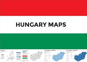
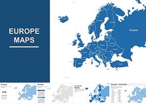
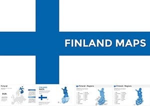
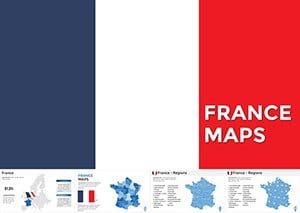
Bring the continent to life with our exquisite Europe map templates crafted for Keynote. These detailed visuals go beyond outlines, incorporating layers for demographics, trade routes, and cultural highlights, perfect for geographers, historians, and business strategists mapping market expansions.
With drag-and-drop editing, infuse your data into choropleth designs or pinpoint cities with interactive markers. Keynote`s elegance amplifies these maps, creating slides that captivate and educate simultaneously.
Tailored for educators sparking classroom discussions or executives charting EU policies, these templates foster deeper insights. Peruse our collection and infuse your presentations with continental charm.
Map your narrative - explore Keynote Europe maps and download effortlessly.
Europe maps in Keynote serve myriad purposes across fields. In travel agencies, overlay itineraries on country shapes to entice clients with visual journeys. Historians use them to trace migration patterns, animating timelines for engaging lectures.
Business analysts plot sales territories, color-coding performance metrics for strategic reviews. Environmental reports benefit from highlighting climate zones, raising awareness through vivid contrasts.
Keynote`s basic map insertions lack granularity, often pixelating on zoom. Our templates deliver vector precision, with editable borders and scalable details that preserve sharpness.
These templates excel with built-in accessibility, including screen-reader friendly labels. Best practices: Limit color palettes to five for readability, and use legends consistently. Users note enhanced retention when maps anchor data stories, boosting comprehension by 40%.
Incorporate subtle animations, like growing shaded areas, to guide viewer focus dynamically.
Fuse maps with timelines for historical evolutions, or embed 3D rotations for immersive overviews. For conferences, QR-linked maps direct to virtual tours, extending engagement beyond slides.
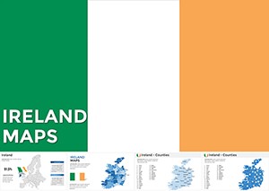
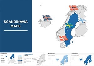
Brand-aligned variants - Nordic blues for Scandinavian focuses - add relevance without complexity.
Unlock geographic storytelling`s power. Secure your Europe map template and captivate audiences.
Layer transparency for overlapping datasets, revealing correlations intuitively. Export to iBooks for interactive ebooks, broadening reach. Gather feedback on map utility to refine future uses.
Such uses underscore maps` strategic value.
From boardrooms to classrooms, these tools illuminate paths forward. Elevate your visuals today.
Browse and download - start exploring Europe!Copyright © 2009-2026 ImagineLayout All rights reserved.