Capture the essence of Ireland with our PowerPoint Maps templates, perfect for geographers, tour operators, and business strategists mapping opportunities across the island. These editable designs highlight counties, cities, and topographical features with precision and style.
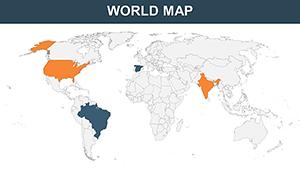
Whether planning a road trip presentation, analyzing market distribution, or teaching Irish history, these maps integrate seamlessly into your deck. Adjust colors for thematic emphasis, add pins for key locations, and layer demographic data for depth.
Our templates ensure vector sharpness at any zoom, maintaining professionalism. Select from our range to infuse your slides with authentic Irish charm and start mapping your narrative today.


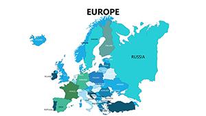
Ireland PowerPoint Maps templates offer a gateway to visualizing the nation`s geography dynamically. Fully vector-based, they resist pixelation, ideal for detailed county breakdowns or island-wide overviews. Travelers and professionals alike value their ease in highlighting routes like the Wild Atlantic Way.
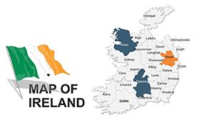
With grouped elements, editing is intuitive - ungroup to tweak borders or regroup for uniformity.
Tourism agencies map itineraries, plotting heritage sites and accommodations. Businesses chart supply chains from Dublin ports to rural farms. Educators illustrate partition history with animated border evolutions.
Real estate firms pinpoint property hotspots, using shaded regions for value trends.
Design route slides that zoom from overview to specifics, like Cliffs of Moher paths. A guidebook creator used these to enhance e-books, boosting reader engagement through interactive exports.
Visualize market penetration by province, layering sales data for targeted pitches.
Stock images distort on resize; our editable vectors scale flawlessly. Basic tools lack Ireland-specific nuances like the Six Counties division; ours include historical notes and labels. Free downloads often watermark, but these are clean and commercial-ready.
Superior to static PDFs, PowerPoint interactivity allows click-to-enlarge for details.
Choose projections wisely - Mercator for familiarity, equal-area for accuracy. Use consistent legends across slides for cohesion. Animate paths to trace journeys, building audience immersion.
Pair with photos: overlay Dublin`s skyline on urban maps for vivid context. Verify data sources to maintain credibility.
A historian animated the 1916 Rising routes, tracing events chronologically for captivating lectures. In logistics, a firm mapped delivery efficiencies, identifying bottlenecks visually to streamline operations.
Creative hack: Integrate weather icons for seasonal travel advisories. These uses demonstrate the maps` breadth in storytelling.
Chart your course with an Ireland map template - download and explore.
Are the maps fully editable? Yes, every line, label, and shape can be modified independently.
Do they include Northern Ireland? Comprehensive coverage of the entire island, with partition indicators.
Can I add custom data layers? Easily, via Excel links or manual inputs for charts.
What about high-resolution exports? Optimized for print and web, up to 300 DPI.
Are cultural elements included? Yes, subtle motifs to enhance Irish theme without overwhelming.
Copyright © 2009-2026 ImagineLayout All rights reserved.