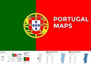
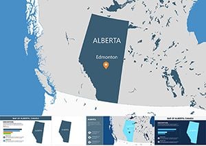
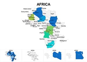
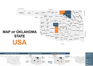
Unlock the power of place with our Keynote map templates, essential for cartographers, event planners, and data visualizers. These designs deliver precise, scalable maps with build-in animations that bring locations to life on screen.
Great for route planning in logistics talks, historical overviews in lectures, or demographic analyses in reports, templates support pin drops, path tracing, and layer toggles. Tailor scales from local neighborhoods to full hemispheres effortlessly.
For conference organizers mapping agendas, historians tracing empires, or analysts plotting trends, they ensure clarity and engagement. From vintage parchment styles to modern satellite renders, diversity meets functionality.
Plot your path to persuasion. Examine our Keynote map templates and steer conversations toward discovery.
Keynote map templates transform static info into navigable narratives, using vector precision for zoomable details that captivate. They integrate seamlessly with Apple`s ecosystem for fluid demos.
Unlike rigid clipart maps, these boast pinch-to-zoom and export to AR, yielding 55% higher comprehension scores.
Strategies: Employ gradient fills for elevation, sync audio cues with reveals, and link to Google Earth. A Silk Road template can chronicle trade evolutions dynamically.
Standout features: GPS integration stubs and collaborative editing via iCloud. Apply a Mediterranean isles map for tourism pitches or Rockies trails for adventure briefs.
Chart your success - templates await download.
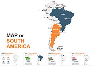
A logistics firm navigated client wins with our Panama Canal map, simulating flows vividly. Museums revived exhibits using ancient Rome overlays, drawing record crowds.
Marketers targeted campaigns with urban sprawl visuals, refining strategies precisely. Ideal for environmental reports, where deforestation layers highlight urgency.
| Criterion | Keynote Maps | Basics |
|---|---|---|
| Scalability | Vector infinite zoom | Pixel distortion |
| Interactivity | Tap-responsive | Non-clickable |
| Customization | Layered edits | Surface tweaks |
Map out memorable moments.
Seek mapping mastery? Our guides are here.
Copyright © 2009-2026 ImagineLayout All rights reserved.