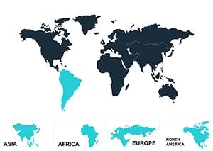
Bring your Keynote presentations to life with our professional Europe map templates. Perfect for business reports educational lectures marketing strategies and cultural explorations these editable designs help convey complex geographical information clearly and effectively.
High-quality visuals enhance your slides while keeping your audience engaged. With fully editable elements you can highlight regions emphasize data points and create impactful storytelling visuals in minutes.
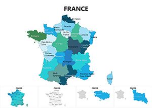
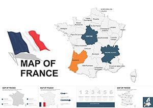
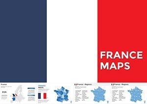
France Keynote Maps Template for Regions & Tourism
ID: #KM00021
$48.00
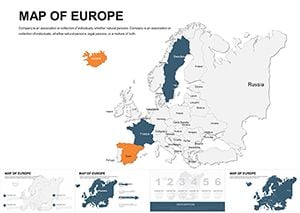
Why Choose Europe Keynote Maps
Our Europe Keynote maps offer unparalleled flexibility and visual clarity compared to default shapes. With pre-designed slides and master templates you save time while delivering professional results.
Real-World Use Cases
Business Reports: Showcase market trends region-specific data and expansion strategies.
Education: Teach geography history or cultural studies with interactive maps.
Marketing Presentations: Visualize customer distribution and campaign coverage.
Tourism Planning: Highlight eco-routes and attractions with precision.
Benefits Over Default Templates
Editable vectors for precise customization
High-resolution visuals for Retina displays
Integrated legends and thematic shading
Pre-animated elements for smooth transitions
Creative Tips and Best Practices
Use Magic Move to create fluid continental transitions
Apply color gradients to highlight economic or cultural differences
Combine with charts like Venn diagrams for layered insights
Anchor maps to slide origins for alignment consistency
Elevate your Keynote slides with ready-to-use Europe maps and make your presentations memorable.
Frequently Asked Questions
Can I edit the map regions individually?
Yes each region is fully editable allowing you to change colors highlight specific areas and add labels or icons.
Are these templates suitable for business presentations?
Absolutely they are designed to communicate complex data clearly and professionally in corporate settings.
Do these maps support animations?
Yes they are fully compatible with Keynote animations including Magic Move for seamless transitions.
Can I use these templates for educational purposes?
Yes these templates are ideal for teaching geography history and cultural studies with engaging visuals.
What file format do these templates come in?
All templates are provided in Keynote format ready for immediate use and customization.