Unlock the power of geography in your presentations with our professional PowerPoint maps templates. Easily visualize routes regions and strategic data for reports pitches or educational projects.
Our templates combine editable layers color-coded regions and annotation tools to help you communicate complex spatial information clearly. Save time and impress your audience with dynamic slides ready for customization.
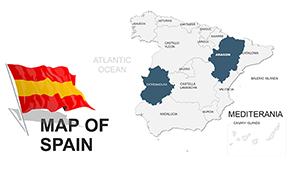
Switzerland PowerPoint Maps: Unlock Geographic Precision in Your Presentations
ID: #PM00017
$45.00
(458)
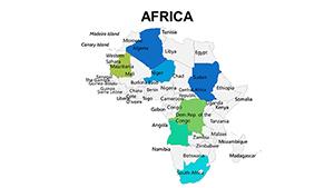
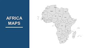
Africa Countries PowerPoint Maps: Continental Canvas
ID: #PM00008
$45.00
Enhance Presentations with PowerPoint Maps
PowerPoint maps transform ordinary slides into engaging visual stories. From global business strategies to local educational projects our templates provide scalable and editable maps to suit every need.
Practical Use Cases
Business Reports: Highlight market expansion and sales territories
Education: Geography lessons or historical mapping
Marketing Presentations: Visualize demographics and regional trends
Travel & Tourism: Showcase itineraries and routes
Benefits Over Default Templates
Unlike standard maps our templates offer vector graphics for scalability customizable colors and animated paths to make your data visually compelling and easy to understand.
Creative Tips & Best Practices
Use gradients and color coding to indicate density or importance
Animate routes sequentially to guide your audience
Link maps to data sources for live updates
Combine multiple map layers to show complex information
Download the templates now to elevate your presentations and communicate spatial data effectively.
Frequently Asked Questions
Are the maps editable?
Yes all maps are fully editable with vector layers and customizable colors.
Can I use these templates for business presentations?
Absolutely our templates are designed for professional reports pitches and strategy presentations.
Do templates support animation?
Yes you can animate paths and layers for dynamic storytelling.
Are these maps suitable for educational purposes?
Yes perfect for classroom lessons history or geography projects.
Can I download templates instantly?
Yes templates are available for immediate download after purchase.