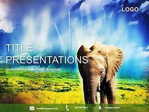
Embark on a worldwide journey through our Continent PowerPoint templates, designed to visualize Earth`s diverse landscapes. With continent outlines, flag integrations, and eco-icons, they`re essential for geographers, travelers, and global strategists mapping out ideas.
Great for climate reports, trade analyses, or adventure planning, these slides offer layered maps, timeline continents, and data overlays that make complex info accessible. Compatible with PowerPoint, they`re quick to tweak for your narrative.
For educators and executives alike, they bridge distances with clarity. Turn flat facts into exploratory adventures.
Set sail across borders - explore the lineup and chart your course now.

These templates globe-trot across fields, from schoolrooms to summits. Geography classes plot migration patterns with animated arrows crossing landmasses, turning lessons into voyages.
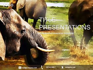
Corporates strategize expansions via market heatmaps shaded by economic zones, while tour operators pitch safaris with wildlife hotspots pinned on savanna spreads.
Superior to stock maps, they deliver interactive depth and cultural nuance, enhancing comprehension over static views. Basic templates often distort scales, misleading viewers.
Analysts forecast trades with import-export flows visualized as oceanic currents. NGOs map aid distributions, overlaying relief icons on drought-prone areas.
Navigation know-how: Use polar projections for accurate poles, and embed Google Earth links for immersive dives. Keep legends concise for at-a-glance insights.
Highlights: Clickable regions revealing stats, and climate color codes for instant vibes. Mobile-responsive for on-the-go edits.
Reshape effortlessly - merge continents for macro views or zoom into biomes.
Traverse the template terrain - select one and expand horizons.
A UN presentation using our template swayed policy on biodiversity, its layered ecosystems compelling action. Fuse with AI for predictive migration sims.
Multilingual labels support cross-continental collabs.
They weave seamless stories, with meridian transitions guiding eye flow. Far from zero builds, they offer atlas-level readiness for rushed rollouts.
Spans polar expeditions to equatorial equities.
Interactive maps and animations simplify complex spatial relationships engagingly.
Yes, with built-in charts overlaying GDP trends on territorial outlines.
Multiple options, from azimuthal to cylindrical for varied needs.
Via Excel links updating population or weather dynamically.
Fully, for topics like deforestation or urbanization gradients.
Yes, with efficient vectors preventing lag in big-file decks.
Launch your global deck - continent templates await.
Copyright © 2009-2026 ImagineLayout All rights reserved.