Illuminate your Keynote slides with our Central America map templates, capturing the region`s tropical allure and strategic importance. From biodiversity briefings to tourism pitches, these designs infuse energy and accuracy.
Crafted for explorers, NGOs, and economists, they permit effortless tweaks to rainforests, coastlines, or capitals. Turn data into destinations visually.
Keynote-optimized vectors shine in animations, revealing isthmus intricacies dynamically. Command the narrative with geographic grace.
Survey Central America Keynote maps and embark on your visual journey. Download to dazzle.
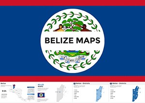
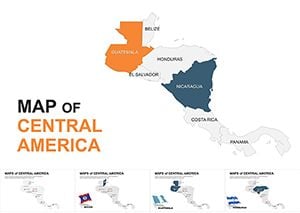
Belize Keynote Maps Template: Visualize Central America's Gem with Editable Precision
ID: #KM00179
$56.00
(332)
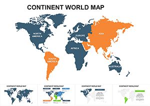
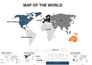
Global Continent Maps Keynote Template
ID: #KM00065
$22.00
(101)
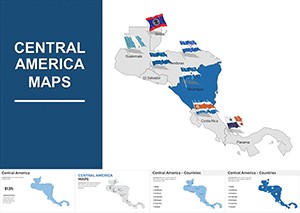
Editable Central America Maps Keynote Pack: Bridging Continents
ID: #KM00051
$35.00
(663)
World Map Editable Keynote Template: Navigate Global Narratives Effortlessly
ID: #KM00032
$45.00
(285)
Central America Keynote Map Template: Bridge Ideas Across Borders
ID: #KM00011
$44.00
(731)
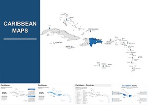
Caribbean Keynote Map Template: Chart Courses to Engaging Narratives
ID: #KM00010
$38.00
Infusing Keynote with Central America Maps
Central America`s compact yet diverse profile - from Mayan ruins to canal trades - demands maps that pack punch. Our templates layer ecosystems and infrastructures, eclipsing plain sketches with vivid detail.