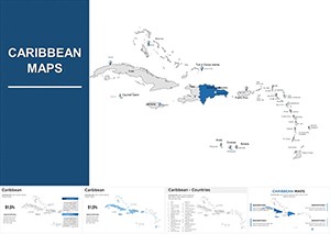
Transport your Keynote presentations to the vibrant Caribbean with our professional map templates. Editable and interactive, these designs cover over 7,000 islands from the Bahamas to Trinidad and Tobago, offering precise vector details and cinematic transitions.
Perfect for tourism marketing, education, business analysis, or environmental projects, each map allows layering of data and smooth animations to engage your audience. Save time while delivering visually captivating and highly informative presentations.
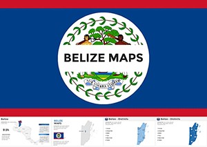
Belize Keynote Maps Template: Visualize Central America's Gem with Editable Precision
ID: #KM00179
$56.00
(699)
Interactive World Country Keynote Maps: Elevate Global Presentations
ID: #KM00169
$26.00
(665)
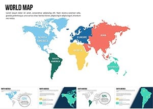
World Map Countries Keynote Presentation Template
ID: #KM00167
$25.00
(328)
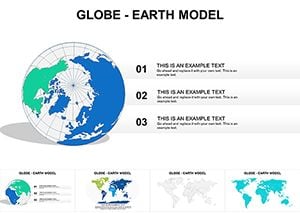
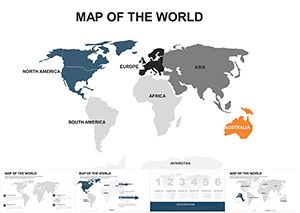
Globe World Map Keynote: Chart the World with Precision
ID: #KM00067
$15.69
(332)
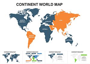
Global Continent Maps Keynote Template
ID: #KM00065
$22.00
(17)
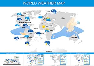
Dynamic World Weather Keynote Maps Template
ID: #KM00060
$29.00
(103)
Global World Countries Keynote Maps Template
ID: #KM00061
$35.00
(663)
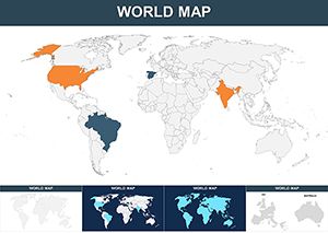
World Map Editable Keynote Template: Navigate Global Narratives Effortlessly
ID: #KM00032
$45.00
(285)
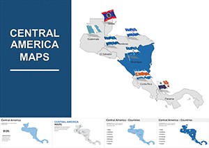
Central America Keynote Map Template: Bridge Ideas Across Borders
ID: #KM00011
$44.00
(731)
Caribbean Keynote Map Template: Chart Courses to Engaging Narratives
ID: #KM00010
$38.00
(15)
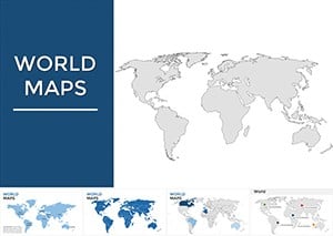
Maps of World Keynote Presentation: Global Insights at Your Fingertips
ID: #KM00002
$38.00
Why Choose Caribbean Keynote Maps
Caribbean Keynote maps provide professionals with accurate, editable, and visually appealing tools for dynamic presentations. Unlike standard templates, these maps feature detailed coastlines, customizable island groups, and motion paths for enhanced storytelling.
Real-World Use Cases
Tourism Marketing: Highlight cruise routes and resort locations.
Education: Map climate data or historical events across islands.
Business & Finance: Showcase trade corridors or economic zones.
Benefits Over Default Templates
High-resolution vector maps for clarity on all devices.
Customizable overlays for data visualization.
Time-saving layouts ready for professional use.
Creative Tips & Best Practices
Use gradient fills to mimic natural island lighting.
Group islands to animate routes efficiently.
Integrate voiceovers and AR elements for immersive storytelling.
Enhance your Keynote slides with Caribbean maps today and captivate your audience with precision and style.
Frequently Asked Questions
Can I customize island colors and labels?
Yes, all Caribbean Keynote map templates are fully editable including island colors, labels, and icons.
Are these templates suitable for business presentations?
Absolutely, they are designed for professional use including tourism, finance, and policy planning presentations.
Do the maps support animations in Keynote?
Yes, Keynote transitions and motion paths can be applied to islands and routes for interactive storytelling.
Can I layer economic or environmental data?
Yes, the templates support layering of complex data sets for clear visual communication.
Are these maps compatible with the latest Keynote version?
Yes, all templates are fully compatible with the latest Keynote versions on macOS and iOS devices.