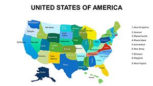
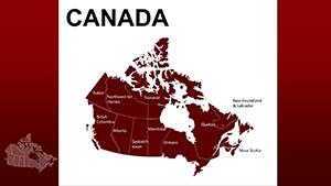
Chart the course of your ideas across the American landscape using our PowerPoint Maps templates. Geared toward presenters in sales, academia, and nonprofits, these assets deliver precise visualizations that make geographic data pop without overwhelming your deck.
Featuring drag-and-drop state divisions, thematic color schemes, and built-in legends, they fit effortlessly into Microsoft PowerPoint workflows. Whether dissecting election results or plotting logistics networks, our maps provide the clarity needed to drive decisions.
For creators seeking reliability and flair, these templates combine accuracy with artistic touches like shadowed reliefs or gradient fills. They empower you to focus on content while handling the heavy lifting of design, resulting in slides that inform and inspire.
Unleash the potential of place-based storytelling - explore our America maps collection right away.


PowerPoint Maps templates for America elevate ordinary data displays into strategic visuals. By overlaying metrics on familiar territories, they help audiences grasp regional variances at a glance, outperforming text-heavy alternatives in retention rates.
In contrast to free clipart maps, ours are PowerPoint-native, enabling morph transitions between views for cinematic effects. This integration avoids the pitfalls of imported images, like lossy quality or alignment issues, ensuring professional polish every time.
Pro tips: Limit color palettes to five for readability, use bold outlines for emphasis, and sync maps with bullet timelines for sequential reveals. These methods, proven in high-stakes pitches, maximize persuasive power.
Customization is at the core, with tools to resize regions or embed hyperlinks to source data. A nonprofit organization leveraged this to map donation flows, linking states to donor stories for a heartfelt close that boosted contributions. Templates offer 20-45 slides, including zoomable details and comparative grids.
Styles range from flat designs for modern minimalism to 3D extrusions for dramatic emphasis, suiting diverse presentation vibes.
| Element | Default PowerPoint | America Maps |
|---|---|---|
| Shape Tools | Basic polygons | Pre-drawn states |
| Labels | Manual entry | Auto-adjustable |
| Animations | Generic | Map-specific paths |
| Compatibility | Windows only | Cross-platform |
Such advancements streamline creation while elevating outcomes.
Apply these for flawless executions. Secure your template and start mapping triumphs.
From blueprint to breakthrough - download and delineate with ease.
Vectors throughout, guaranteeing scalability from thumbnails to billboards.
Yes, export seamlessly for collaborative editing in the cloud.
Typically 10-25, spanning national to divisional scales.
Group states freely, like creating custom "Heartland" zones.
Base packs have major metros; expansions add granular pins.
Fully supported, with entrance effects tailored to geographic flows.
Copyright © 2009-2026 ImagineLayout All rights reserved.