EU Countries PowerPoint Maps Template - High-Quality PPT


Type: PowerPoint Maps template
Category: Europe
Sources Available: .pptx
Product ID: PM00174
Template incl.: 30 editable slides
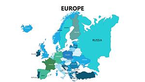
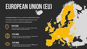
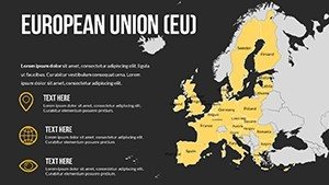
Dive into the intricacies of European Union countries with our specialized PowerPoint Maps Template, featuring 30 editable slides designed for depth and versatility. Perfect for consultants charting market analyses, professors discussing regional policies, or students compiling projects, this tool brings EU nations to life through high-quality, layered maps. Visualize everything from border disputes to economic corridors with ease, using structured layers that simplify complex edits. Informed by authoritative sources like the European Parliament's mapping protocols, it guarantees authenticity and usability, enabling you to craft presentations that resonate with precision and professionalism across diverse fields.
Crafting Detailed EU Country Narratives
This template prioritizes high-fidelity representations of EU countries, incorporating multiple styles from political to topographic, in line with cartographic excellence promoted by the European Spatial Data Infrastructure.
Essential Features for In-Depth Customization
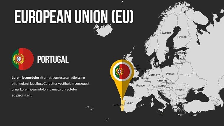
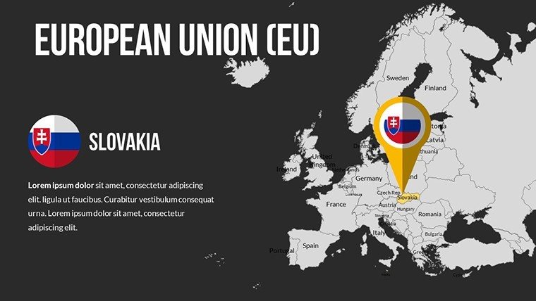
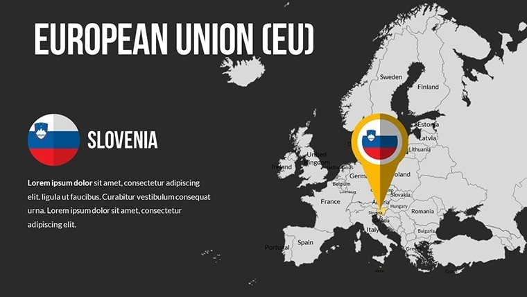
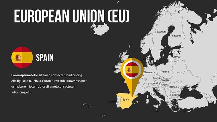
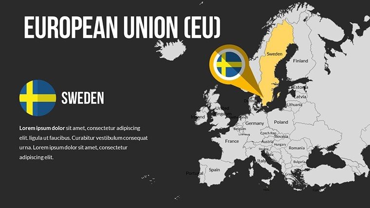
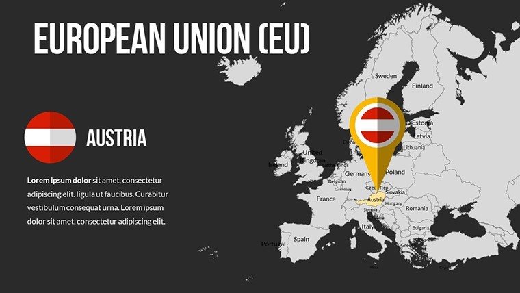
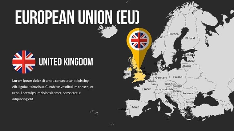
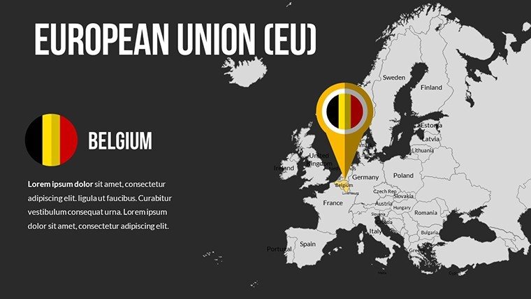
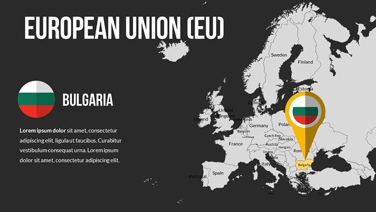
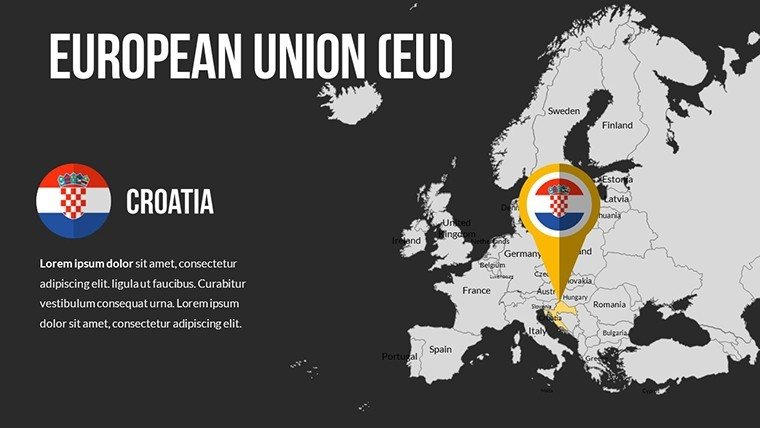
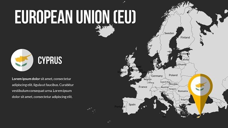
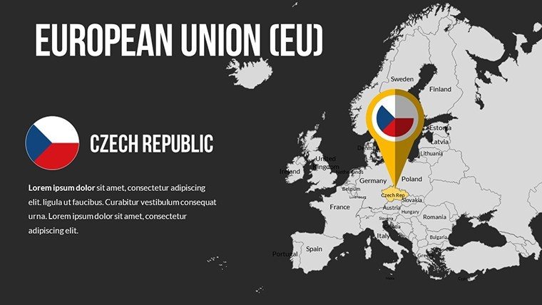
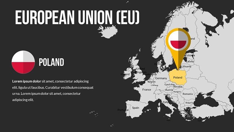
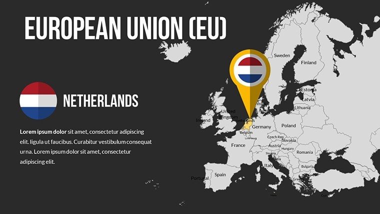
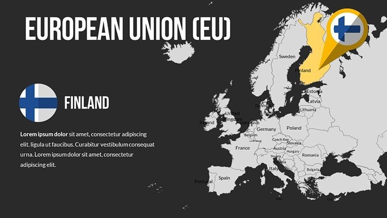
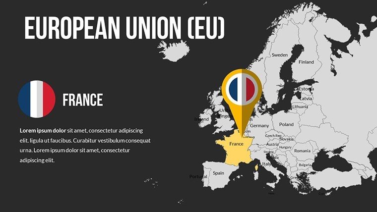
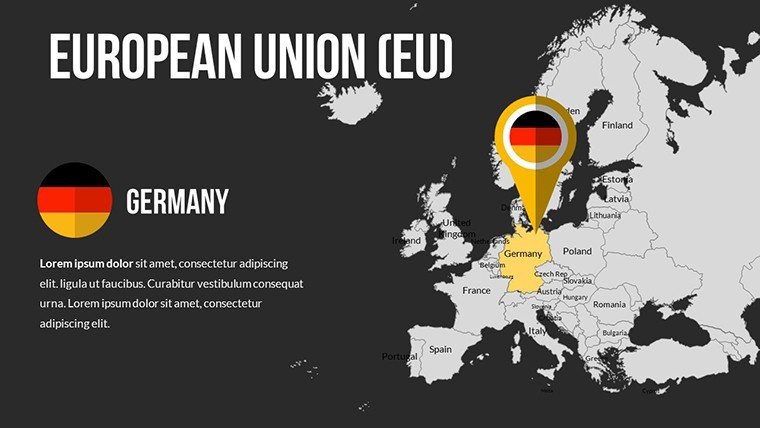
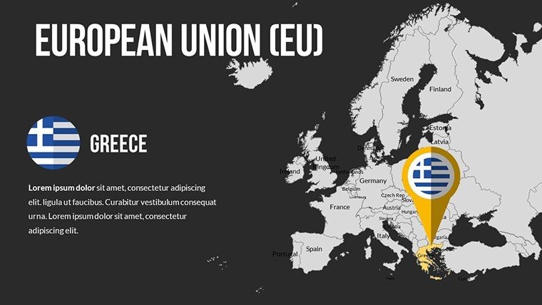
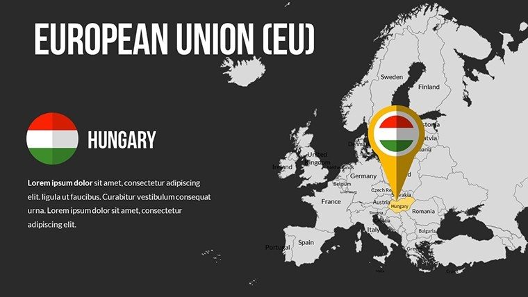
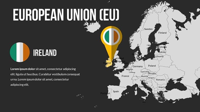
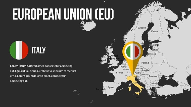
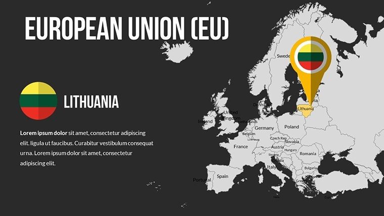
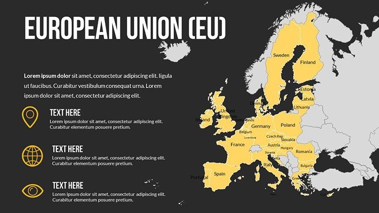
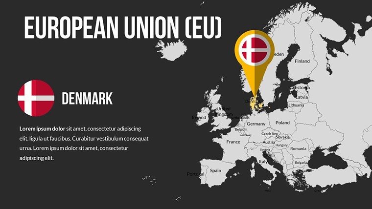
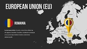
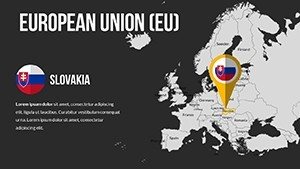
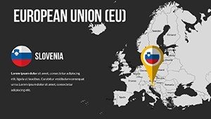
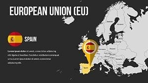
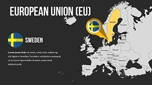
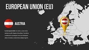
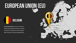
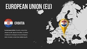
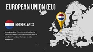
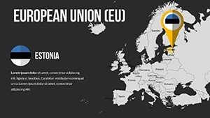
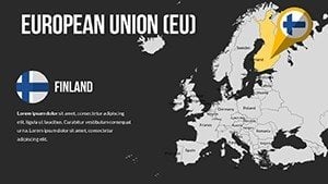
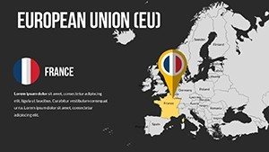
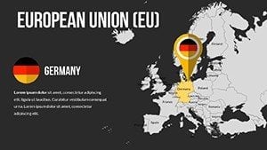
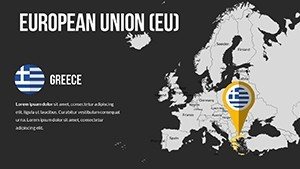
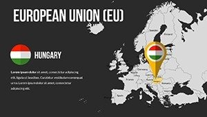
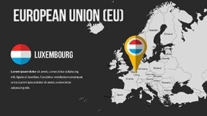
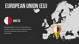
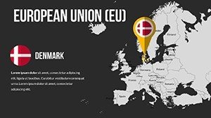
- Multi-Style Maps: Choose from outline, filled, or thematic versions for each of the 27 EU countries.
- Layered Editing: Organized groups for easy manipulation of elements like rivers, roads, or urban areas.
- Data Integration: Slots for embedding stats on trade, demographics, or innovation indices.
- Resolution Excellence: Pixel-perfect at high zooms, suitable for detailed scrutiny.
- Style Variants: Adaptable to formal or creative themes with quick-switch options.
Such features cater to nuanced needs, ensuring your maps are as informative as they are attractive.
Impactful Applications and Examples
A university researcher employed this template to map EU innovation hubs, contributing to a published paper on regional disparities. In the corporate realm, a sales team illustrated country-specific strategies, boosting internal alignment and external pitches.
Step-by-Step Editing Process
- Load the template and navigate to your target country slide.
- Ungroup layers to modify specific components independently.
- Insert data visuals using native PowerPoint tools.
- Apply effects for emphasis, like glows on key areas.
- Finalize with a review for accuracy and export.
This structured approach minimizes errors and maximizes efficiency.
Outperforming Built-In Options
Generic PowerPoint maps pale in comparison to our layered, high-quality designs, offering superior detail without additional software. An analyst firm switched to this template for EU reports, noting improved client satisfaction due to enhanced visuals.
Workflow Enhancements and Advice
Sync with collaboration platforms for team inputs or pair with statistical software for automated updates. Expert tips include using consistent scales across slides for comparative analyses, a practice embedded in our design.
Optimization Tips for EU Maps
- Prioritize clarity: Use labels sparingly to highlight essentials.
- Comparative layouts: Juxtapose countries for insightful contrasts.
- Update regularly: Refresh data to reflect current EU dynamics.
- Engage audiences: Include quiz elements in educational slides.
These techniques will amplify the educational and persuasive power of your work.
Elevate your EU-focused endeavors - grab this PowerPoint Maps Template today and map success with confidence.
Frequently Asked Questions
- Are all 27 EU countries included?
- Yes, each with dedicated editable maps and variants.
- Can I change map styles easily?
- Absolutely, switch between styles with a few clicks.
- Supports group editing?
- Yes, compatible with shared editing in PowerPoint Online.
- How to add country-specific data?
- Use the integrated placeholders for seamless insertion.
- Is it mobile-friendly?
- Designs render well on tablets and phones for on-the-go reviews.
- Refund policy?
- Satisfaction guaranteed with a 30-day refund window.