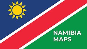
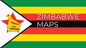
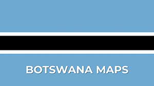
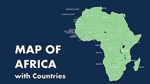
Editable Africa Countries PowerPoint Maps: Download PPT
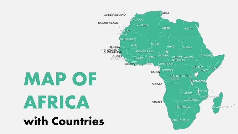


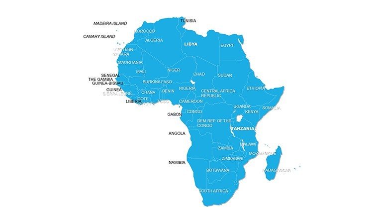

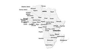


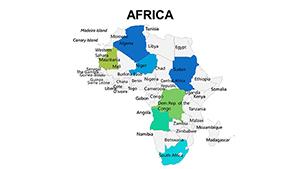
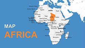
Embark on a visual exploration of Africa's multifaceted nations with our Editable Africa Countries PowerPoint Maps Template, a toolkit of 11 adaptable slides crafted for those who demand precision and creativity in their communications. From the sun-kissed dunes of Morocco to the bustling metropolises of South Africa, this template captures the continent's essence, enabling you to highlight everything from political boundaries to cultural hotspots. Ideal for professors illustrating historical migrations, government officials mapping policy impacts, or marketers targeting regional demographics, it turns abstract concepts into tangible, interactive experiences.
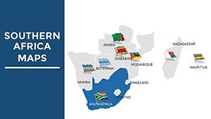
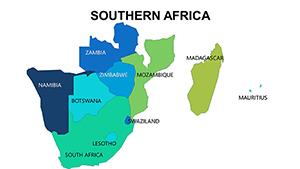
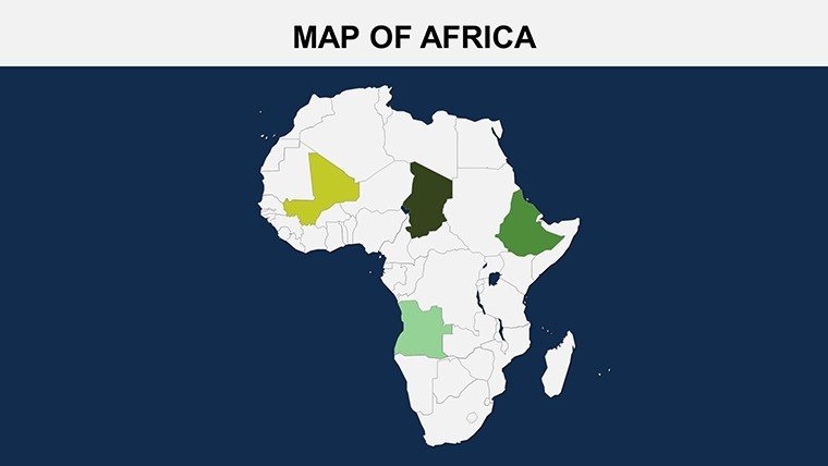
The core strength lies in its detailed coverage of African diversity, with slides that allow for pinpoint accuracy in displaying data like tourism flows or agricultural outputs. Envision a customized map where North Africa's Mediterranean influences are shaded in azure, contrasting with the equatorial greens of Central Africa - perfect for a lecture on climate zones or a report on renewable energy potentials in the Rift Valley.
Mastering Customization for Impactful Presentations
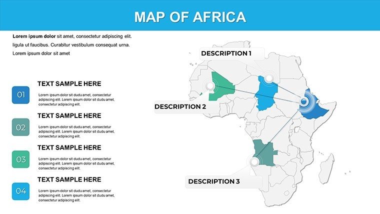
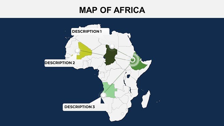
This template excels in user-centric design, offering complete control over every element. Adjust typefaces to align with your institution's style guide, reshape borders for emphasis on disputed areas like Western Sahara, or scale maps to focus on sub-regions such as the Horn of Africa. Annotations and markers add layers of insight - perhaps plotting migration routes from Eritrea to Europe or investment hubs in Rwanda's tech scene.
For novices, the simplicity is a boon: No need for specialized software; everything edits within PowerPoint's familiar interface. A government briefing on AU initiatives could start with a broad overview slide, then drill down into country-specific details with hyperlinks to supporting data, enhancing interactivity without overwhelming the viewer.
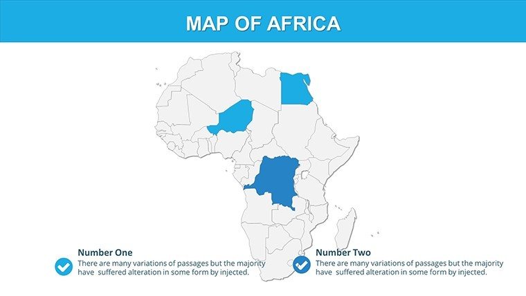
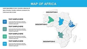
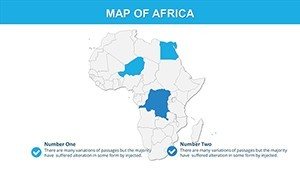
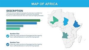
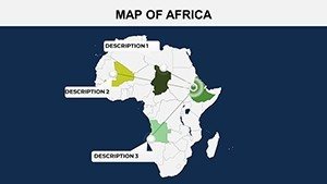
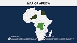
- Label Flexibility: Add or remove country names, capitals, or custom tags for personalized narratives.
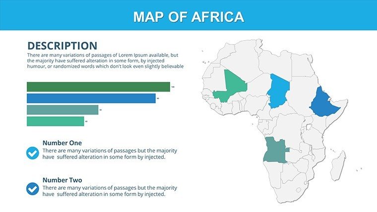
- Color Mastery: Use gradients to represent variables like population growth, drawing from real-world examples like UN demographic reports.
- Annotation Tools: Incorporate arrows, text boxes, and shapes to guide audience attention, akin to how National Geographic visualizes stories.
Addressing common challenges, this template bypasses the limitations of stock maps by providing high-fidelity vectors that don't pixelate, ensuring your presentation shines in boardrooms or classrooms alike.
Diverse Applications Across Sectors
In academia, professors can leverage it for engaging seminars on African linguistics, mapping language families from Afroasiatic in the north to Bantu in the south. Add interactive elements like pop-up facts on Swahili's spread, making lessons memorable and aligned with modern pedagogy.
Business professionals find it invaluable for sales territory mapping - highlight emerging markets in Angola's oil sector or Ethiopia's manufacturing boom with pinned locations and trend lines. Drawing from case studies like McKinsey's Africa reports, visualize growth trajectories to convince investors of untapped potentials.
Government users might employ it for diplomatic briefings, such as outlining peacekeeping missions in the Sahel with color-coded stability indices. Researchers analyzing environmental trends can overlay data on deforestation in the Congo Basin, using the template's tools to create compelling arguments for conservation funding.
Enhance your workflow by integrating with tools like Tableau for advanced data imports, or collaborate via shared drives for team inputs. Versus generic PowerPoint options, this offers superior detail and ease, saving time for strategic thinking.
Pro Tips for Maximum Engagement
To elevate your decks, vary slide transitions for a narrative flow - fade-ins for revealing regional details - or pair with storytelling techniques from TED Talks, where visuals support but don't overshadow the speaker. End with a call-to-action slide, urging viewers to "Dive deeper into Africa's opportunities."
At $16, it's a steal for the value it delivers in clarity and persuasion. Transform your next presentation; secure your editable maps now and chart a course to captivating audiences.
Frequently Asked Questions
What level of customization is available?
Full customization including colors, shapes, sizes, and annotations to match your specific requirements.
Is it suitable for beginners?
Yes, designed with user-friendliness in mind, no advanced skills needed.
Can I add my own markers?
Absolutely, easily incorporate labels, markers, and more for tailored content.
What's the file format?
Provided in .pptx for broad compatibility.
Are updates included?
The template is static, but editable for your ongoing needs.