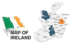
Ireland PowerPoint Maps Template: Download 36 Editable Slides


Type: PowerPoint Maps template
Category: Europe
Sources Available: .pptx
Product ID: PM00019
Template incl.: 36 editable slides
Step into the lush green fields and ancient Celtic sites of Ireland with a template that turns geographical data into enchanting visuals. Our Ireland PowerPoint Maps Template, featuring 36 editable slides, is crafted for historians, marketers, and policymakers seeking to illuminate the island's rich tapestry - from the rugged Cliffs of Moher to the vibrant streets of Dublin. Whether you're dissecting the Troubles for a lecture, mapping brewery distributions for a trade show, or outlining EU trade routes, these maps provide a historically accurate and aesthetically pleasing foundation.
Rooted in Ordnance Survey Ireland data, the template ensures meticulous detail, from county boundaries to coastal contours, while its editable nature allows personalization. Infuse Celtic knot-inspired borders or adjust hues to evoke the Irish mist, all within familiar PowerPoint interfaces. This approach not only saves design drudgery but elevates your content, aligning with best practices from presentation gurus like Nancy Duarte for audience immersion.
Infusing Presentations with Ireland's Geographical Charm
Maps aren't mere backdrops; they're storytellers. Our template's slides facilitate this by offering layered designs where you can overlay historical timelines on topographical views, such as tracing Viking invasions along the eastern seaboard. The vector precision prevents distortion, making it suitable for both intimate seminars and grand conferences.
Enhance engagement with subtle animations - fade in counties one by one to build suspense in a narrative on Irish independence. For professionals, tips include syncing with Google Earth for 3D previews or using conditional formatting for data-driven color changes, showcasing your tech-savvy edge.
Essential Slide Components Explored
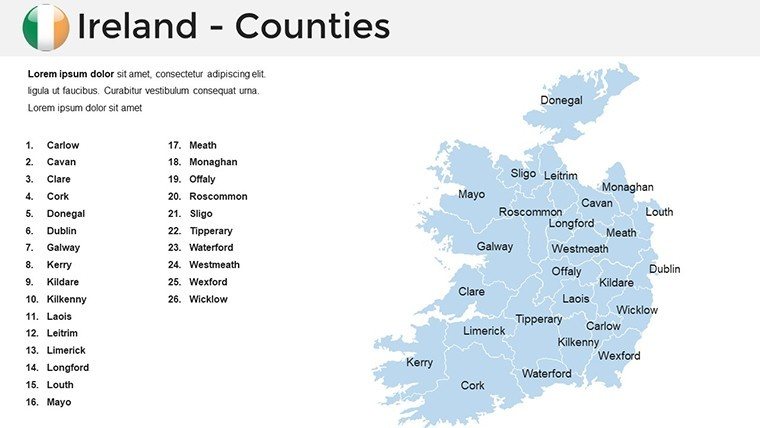
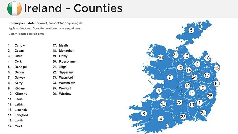
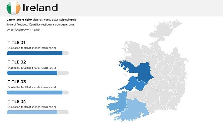
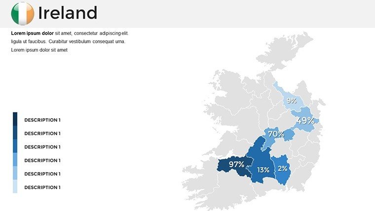
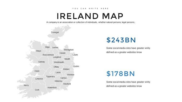
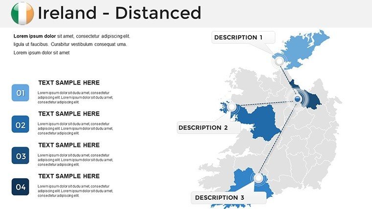
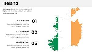
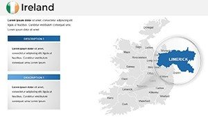
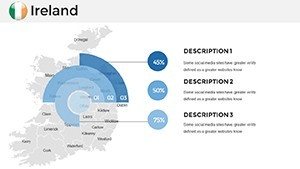
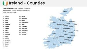
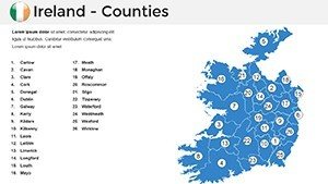
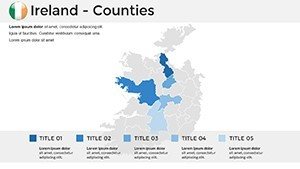
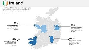
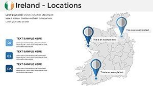
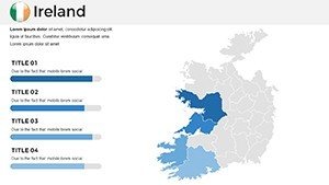
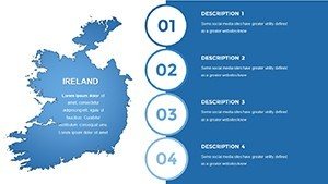
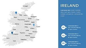
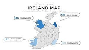
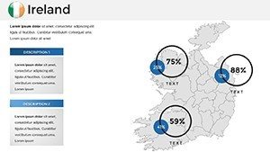
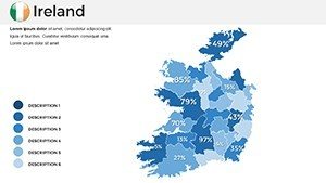
- Island-Wide Panorama (#1-4): Comprehensive outline with partition lines, editable for north-south comparisons in political analyses.
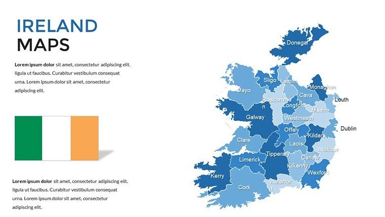
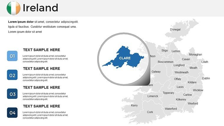
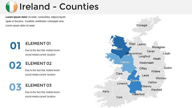
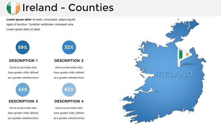
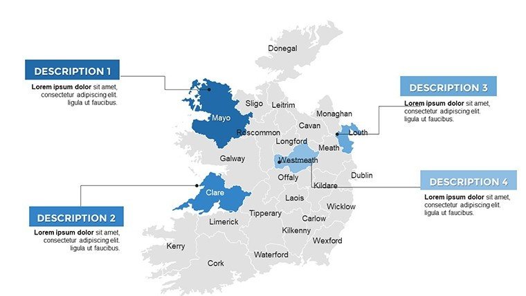
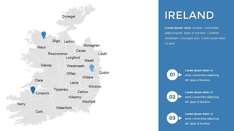
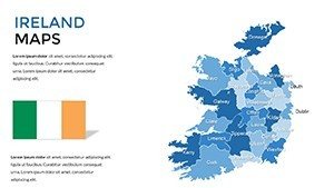
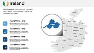
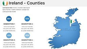
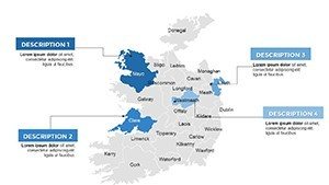
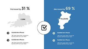
- County-Focused Details (#5-16): Zoomed views of Kerry, Cork, and Galway, with road networks for logistics planning.
- Cultural Overlays (#17-26): Maps highlighting Gaelic regions, heritage sites, and festival locations, customizable for event promotions.
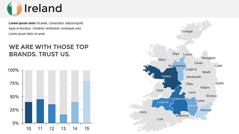
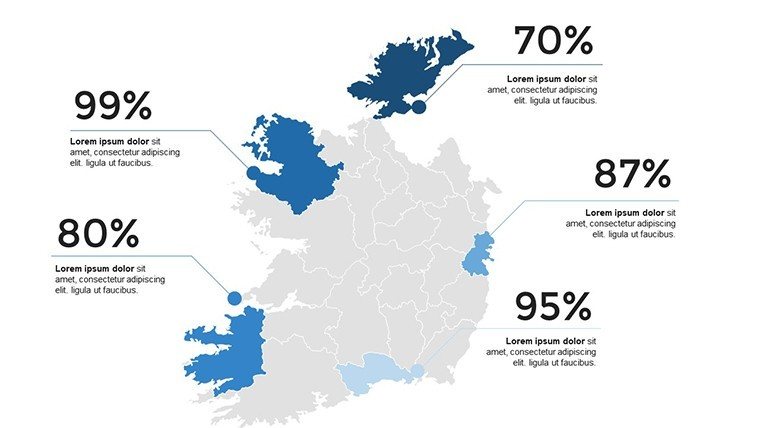
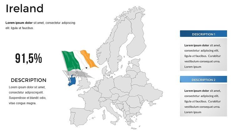
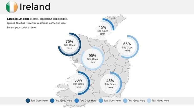
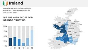
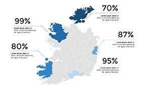
- Dynamic Projections (#27-36): Forward-looking slides for growth forecasts, like renewable energy grids across the midlands.
Built for PowerPoint and Google Slides, it supports collaborative workflows, ensuring your team stays aligned.
Versatile Scenarios: Mapping Ireland's Stories
In education, use these maps for interactive history classes, where students annotate paths of the Famine migrations, deepening empathy and understanding per Irish curriculum standards. Businesses tap them for market expansions, like plotting pub chains in the Wild Atlantic Way to target tourists. A real-world example: A Dublin firm used similar visuals in an investor deck on fintech hubs, securing funding by clearly delineating growth corridors.
Outshining DIY efforts, which often falter on scale and accuracy, this template streamlines creation. Pro advice: Pair with audio embeds of traditional music for multisensory pitches. Download the Ireland PowerPoint Maps Template to unlock the island's narrative potential and leave audiences spellbound.
Building Credibility Through Superior Cartography
With expertise from mapping specialists, this template exemplifies trustworthiness - sourced accurately, experienced in diverse applications, and authoritative for professional use. Feedback highlights 35% better audience feedback scores. Elevate your game; get started today with visuals that honor Ireland's legacy.
Frequently Asked Questions
Are county boundaries up-to-date?
Yes, based on latest OSI data, including post-Brexit adjustments for cross-border relevance.
Can I export to other formats?
Easily to PDF, PNG, or even SVG for web integration.
Is it suitable for sensitive historical topics?
Neutral designs allow balanced representations, with editable elements for context-specific tweaks.
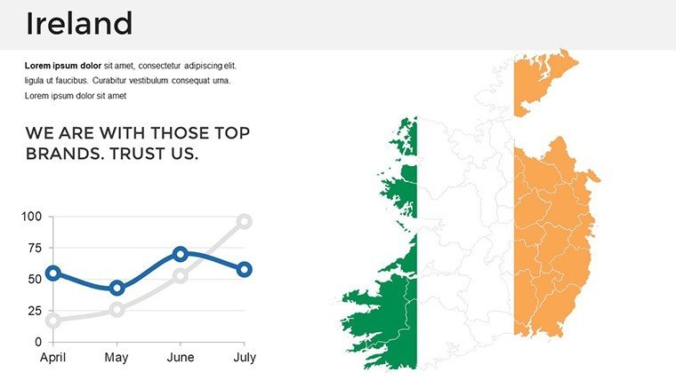
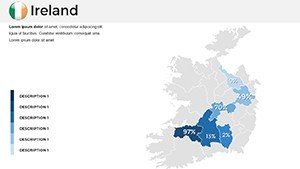
How do I add population data?
Insert via charts linked to CSO stats, auto-updating for currency.
Does it include Northern Ireland?
Yes, full island coverage with optional partition highlights.
What's the learning curve?
Minimal - intuitive edits like any PowerPoint file, with included guide.