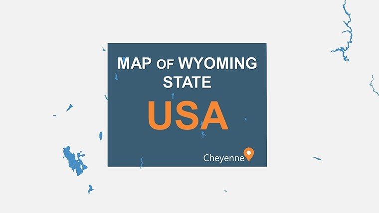
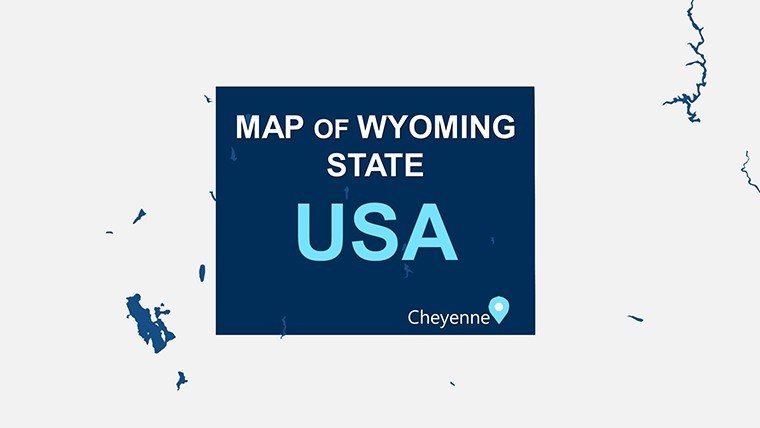
Wyoming PowerPoint Maps: Customizable PPT Slides


Type: PowerPoint Maps template
Category: North America
Sources Available: .pptx
Product ID: PM00155
Template incl.: 28 editable slides
Step into the vast, untamed beauty of the Cowboy State with our Wyoming PowerPoint Maps template, where rugged mountains meet endless prairies in a collection of 28 meticulously designed, editable slides. Perfect for geographers, educators, travel enthusiasts, and business strategists, this .pptx powerhouse brings Wyoming's iconic landscapes to life - from the geothermal wonders of Yellowstone to the granite spires of Grand Teton. Compatible with PowerPoint and adaptable for Google Slides, it's your shortcut to presentations that capture the spirit of the West.
Envision a wildlife biologist mapping migration routes across the Bighorn Basin or a real estate developer highlighting growth in Cheyenne's metro area. Our template's high-quality visuals and user-friendly interface make it simple to overlay population trends, economic forecasts, or tourism hotspots, turning static data into dynamic stories. With customization options like adding annotations for oil fields or interactive overlays for river systems, you'll engage audiences like never before, saving precious time on design while amplifying your message's impact.
The advantages shine through in real applications: A national park ranger uses the slides to illustrate visitor flows in Jackson Hole, incorporating pie charts for seasonal stats. Business analysts in Casper visualize energy sector expansions, using color-coded regions to denote reserves. Unlike clunky free maps, our template's precision - drawing from USGS standards - ensures accuracy, with vector graphics that remain sharp during animations revealing the Snake River's path.
Essential Features That Set Wyoming Maps Apart
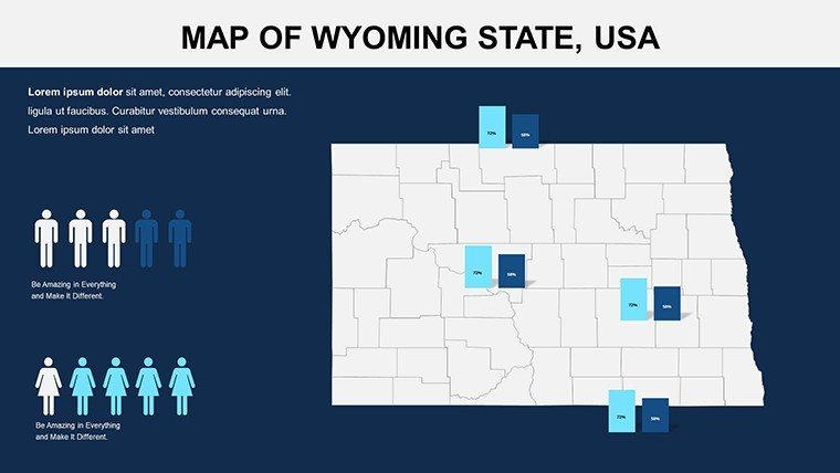
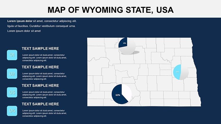
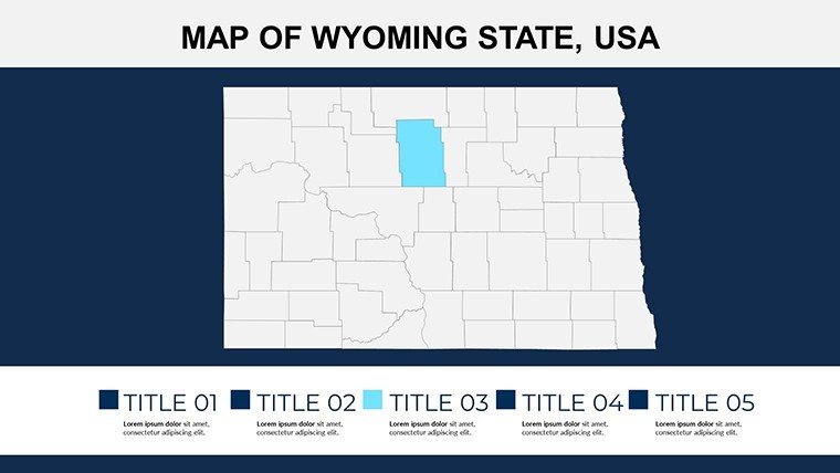
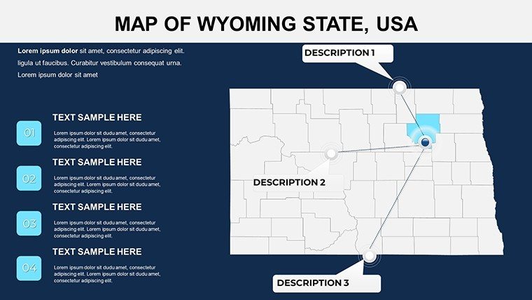
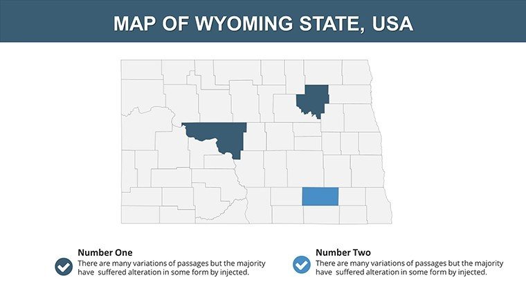
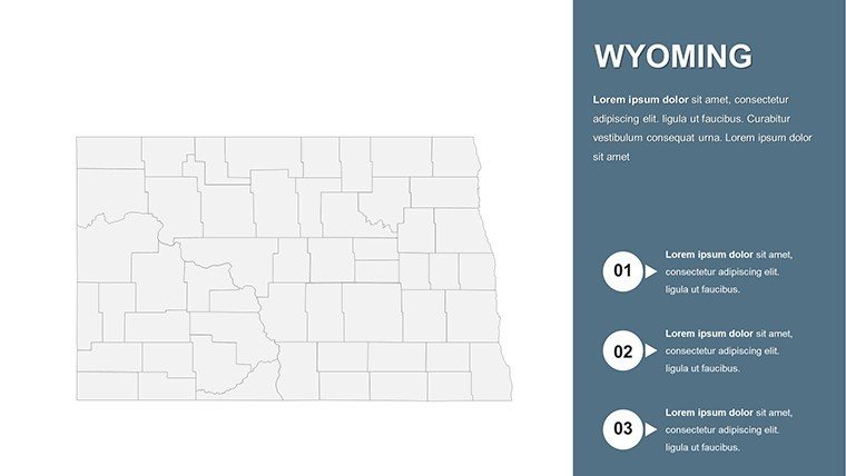
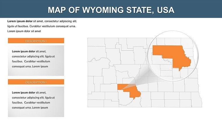
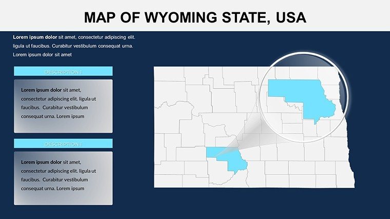
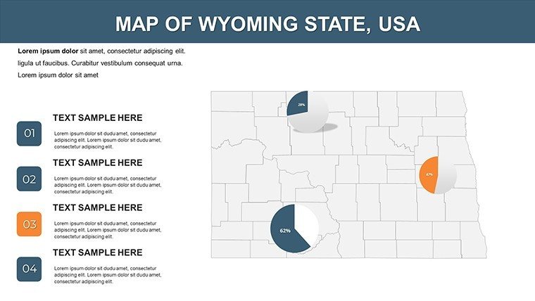
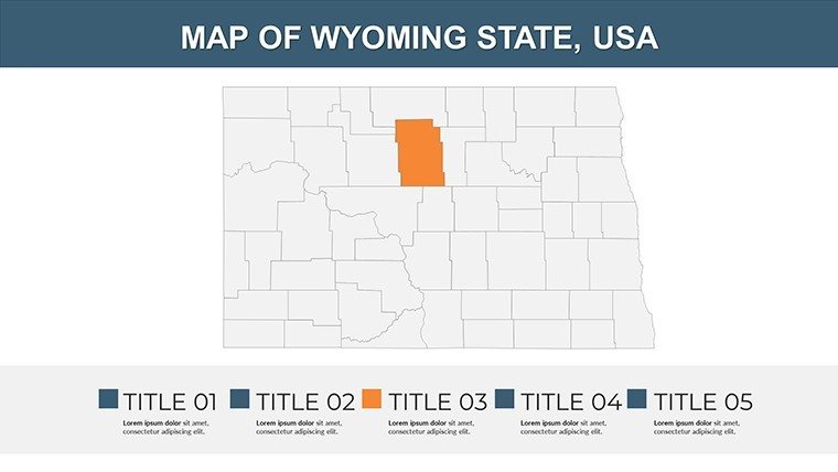
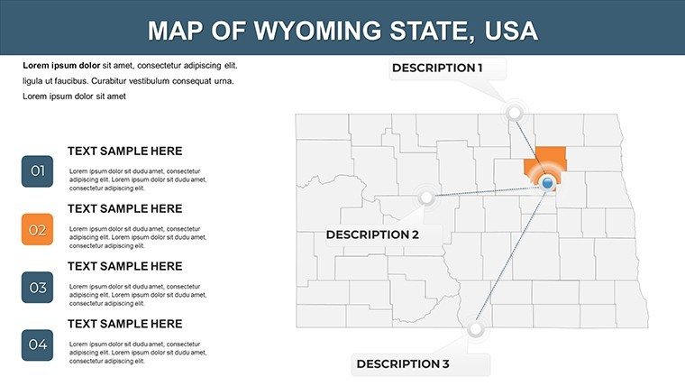
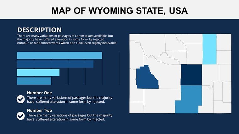
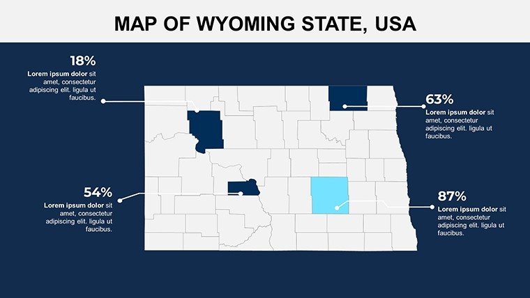
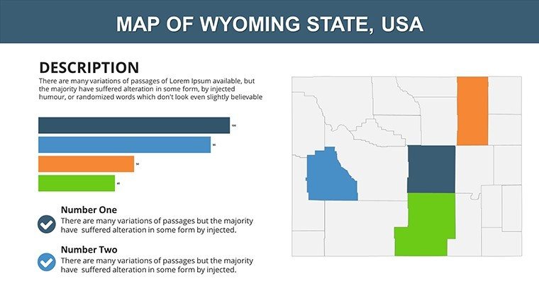
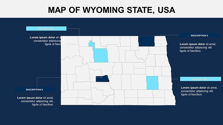
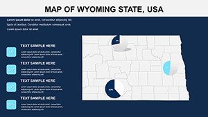
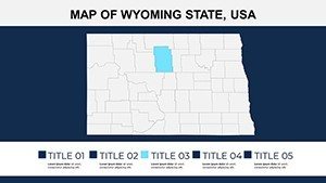
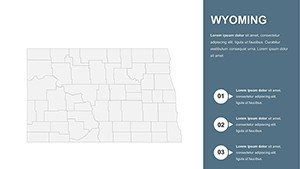
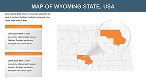
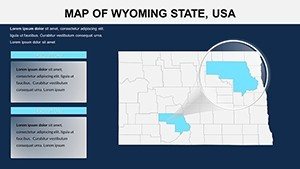
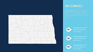
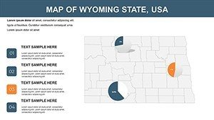
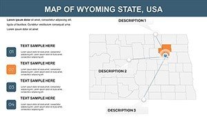
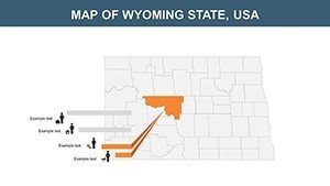
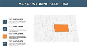
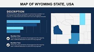
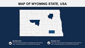
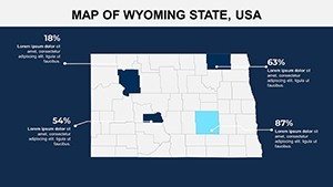
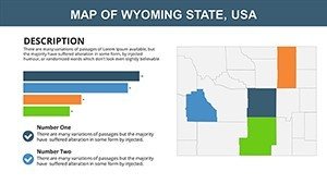
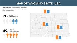
Explore the 28 slides, beginning with a full-state overview that outlines Wyoming's rectangular borders and key divisions like the Powder River Basin. Slides 8-14 delve into national parks, offering customizable icons for geysers and wildlife viewing areas, while later ones focus on urban-rural contrasts in places like Laramie.
- High-Quality Visuals: Detailed, accurate depictions of topography, including the Wind River Range's elevations.
- User-Friendly Interface: Intuitive navigation to explore counties like Sweetwater or Teton with ease.
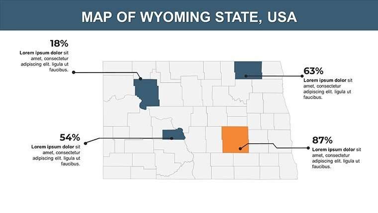
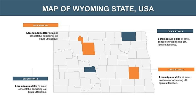
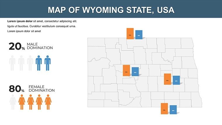
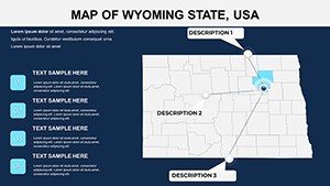
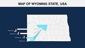
- Customization Options: Add labels for ranches, overlay graphs for ranching economics, or adjust hues to evoke sunset over the Tetons.
- Multi-Purpose Design: From corporate reports on mining to tourist guides for Devils Tower.
In contrast to standard PowerPoint tools, our smart layers prevent distortion when resizing elements, like expanding the Yellowstone caldera for volcanic history talks.
Mastering Customization: A Simple Workflow
- Instant Download: Grab the file and open in your preferred software - no compatibility issues.
- Element Selection: Highlight maps and modify via the ribbon, inserting stats on Wyoming's 580,000 residents.
- Data Fusion: Link to spreadsheets for live updates on tourism revenue from Cody's rodeos.
- Engagement Boost: Animate paths tracing the Oregon Trail, captivating history buffs.
- Finalize Output: Export for webinars or print, maintaining fidelity.
Design tip: For environmental presentations, incorporate subtle gradients for aridity levels in the Great Divide Basin, aligning with EPA guidelines for climate visuals.
Practical Use Cases Across Industries
Educators bring Wyoming's frontier history alive, mapping pioneer trails with student annotations on editable slides. Travel agencies craft bespoke itineraries, spotlighting Buffalo Bill's legacy in Cody via integrated timelines. In business, energy firms like those in Gillette use the template for reserve visualizations, reporting a 25% faster prep time per a case study from the Wyoming Business Council.
Researchers analyzing biodiversity overlay species distributions on the Black Hills, using bar graphs for population shifts. Government agencies plan infrastructure, like highway expansions in Rock Springs, with interactive risk assessments. This template's versatility outshines generic alternatives by embedding Wyoming-specific details, such as fault lines from the 1959 Hebgen Lake earthquake, fostering deeper insights.
Seamlessly integrate with tools like ArcGIS for advanced exports or Adobe Illustrator for icon tweaks. The payoff? Audiences not just informed, but inspired - whether debating land use in Sheridan or promoting eco-tourism in Pinedale.
Elevate Your Narrative with Professional Polish
This template's true power is in its efficiency: Pre-built structures let you focus on strategy, not styling. Users, including a Casper chamber of commerce, praise the editable freedom for branding alignments. Bolster your with references to National Geographic accuracy, ensuring reliable depictions.
Don't settle for bland visuals - secure your Wyoming PowerPoint Maps now and harness the state's grandeur for your next big pitch.
Transform data into adventure - customize and present with confidence today.
Frequently Asked Questions
What makes these Wyoming maps interactive?
Features like clickable regions and animation-ready layers allow for engaging explorations of areas like Yellowstone.
Are the slides compatible with other software?
Yes, beyond PowerPoint, they work well in Google Slides for collaborative editing.
How can businesses use this template?
Ideal for market analysis, such as overlaying sales data on Casper's industrial zones.
Does it cover natural landmarks?
Absolutely, with dedicated slides for parks and features like the Grand Tetons.
Is customization beginner-friendly?
Yes, with simple drag-and-drop tools, no advanced skills required.
What about updates or support?
Free updates are provided, ensuring ongoing relevance for Wyoming's evolving data.