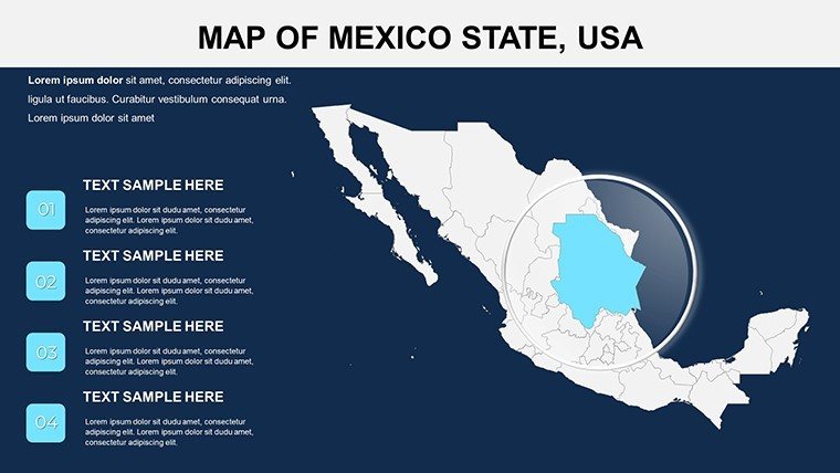
Mexico Maps PowerPoint Template: 30 Slides


Type: PowerPoint Maps template
Category: North America
Sources Available: .pptx
Product ID: PM00115
Template incl.: 30 editable slides
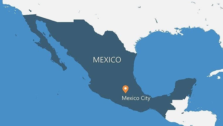
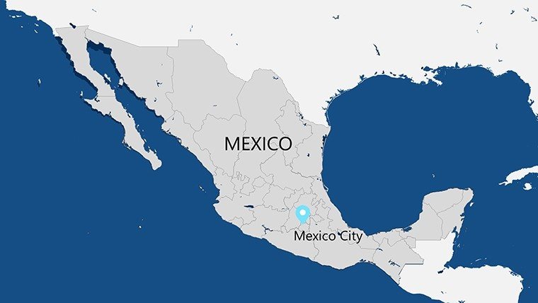
Embark on a visual odyssey across Mexico's diverse terrains - from the Sierra Madre's peaks to the Yucatán's cenotes - with our Mexico Maps PowerPoint Template. Boasting 30 meticulously editable slides, this toolkit is a boon for international marketers, historians, and policy wonks eager to unpack NAFTA impacts or Mayan routes. Infused with insights from INEGI national statistics, these maps offer political divisions, physical relief, and thematic overlays that make abstract concepts tangible. Say goodbye to outdated atlases; hello to fluid customizations that adapt to your narrative, whether illuminating tequila trade flows in Jalisco or tourism surges in Cancún. Our design philosophy, rooted in UNESCO heritage guidelines, ensures respectful representation of indigenous regions, blending artistry with accuracy. This template doesn't just map Mexico - it maps your path to persuasive, globally resonant presentations.
Masterful Variety: From Outline to Infused Insights
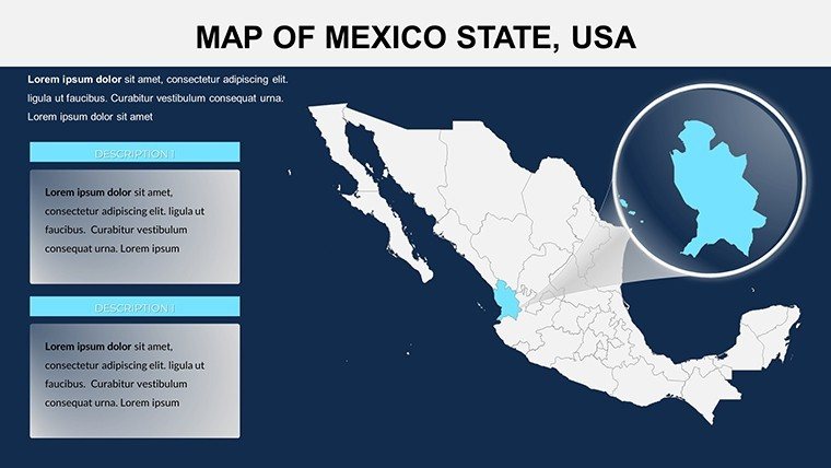
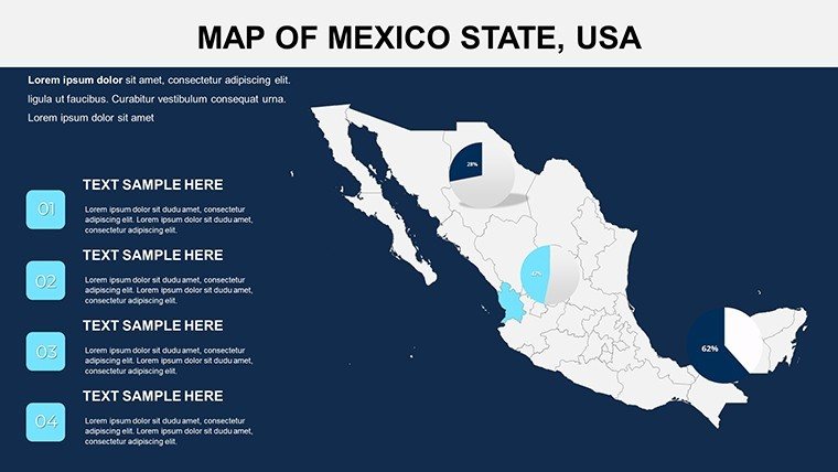
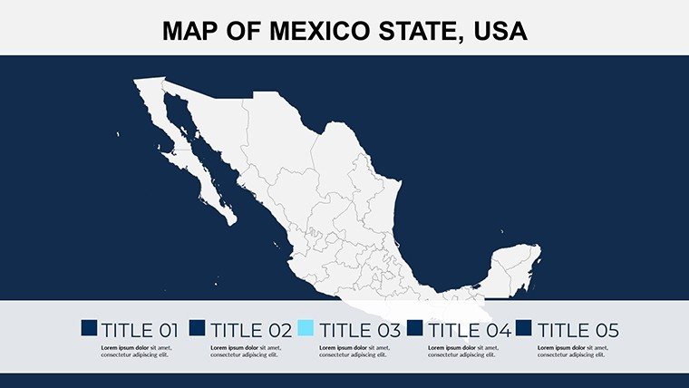
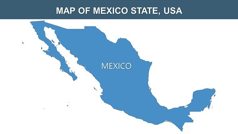
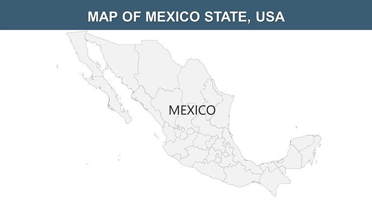
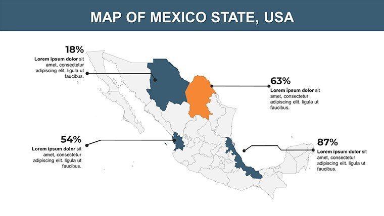
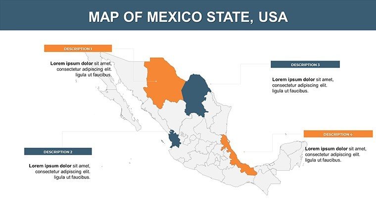
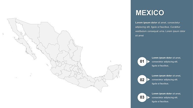
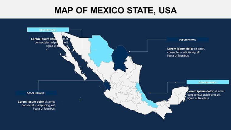
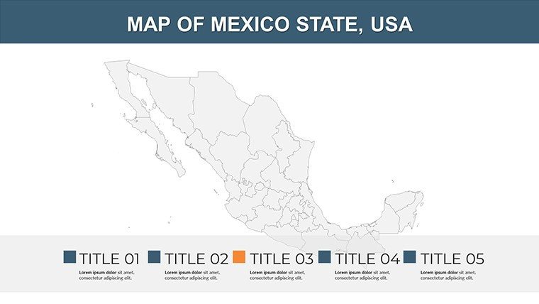
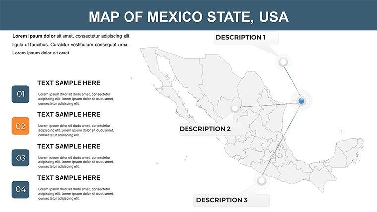
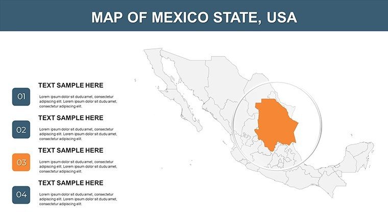
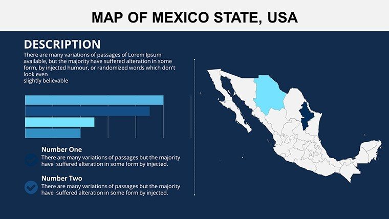
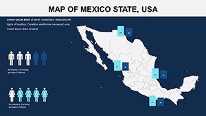
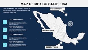
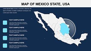
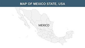
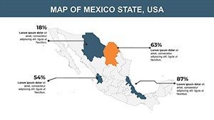
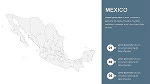
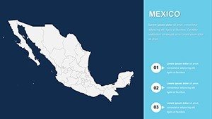
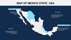
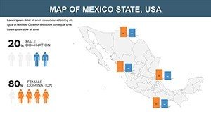
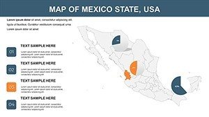
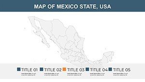
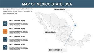
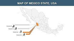
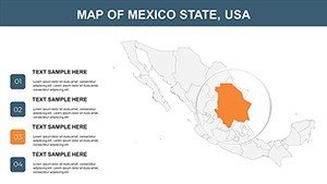
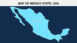
The 30-slide arsenal covers every angle: blank outlines for freeform annotations, shaded relief for elevation storytelling, and choropleth maps for socioeconomic gradients. Each is high-res vector art, scalable for TED-style keynotes or detailed reports.
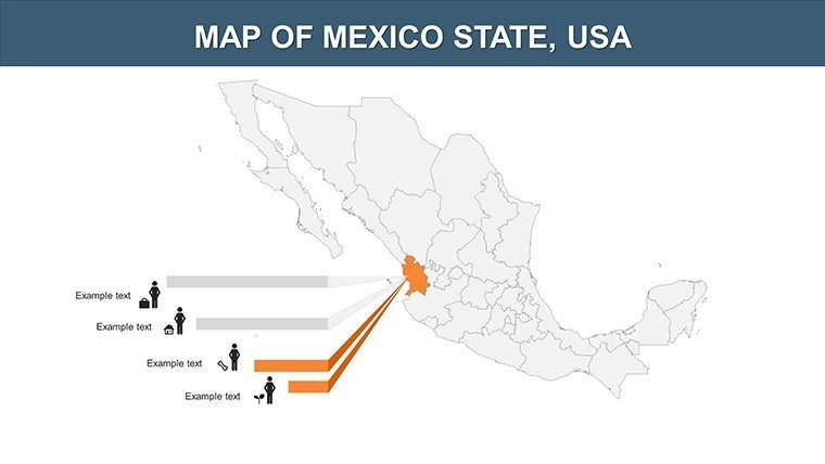
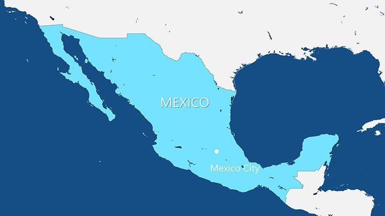
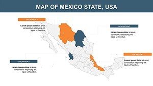
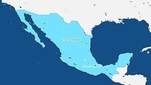
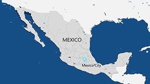
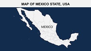
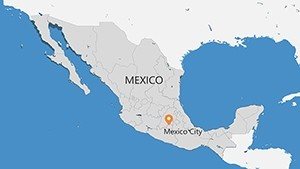
- Political Precision: State-by-state breakdowns with capital markers, perfect for dissecting federal election data or migration patterns.
- Physical Panoramas: Contour lines and biome icons to narrate climate change effects on the Baja Peninsula, drawing from CONABIO biodiversity maps.
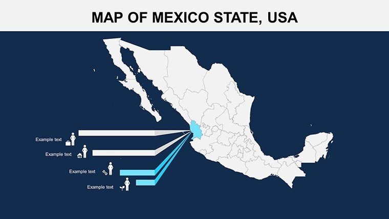
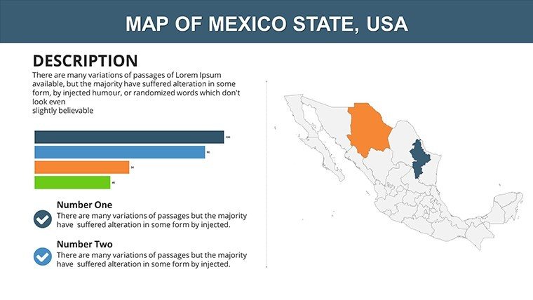
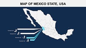
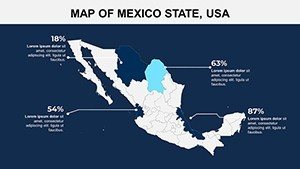
- Thematic Thrills: Prepped for overlays like export volumes or archaeological sites, with smart art connectors for route planning.
Expertly calibrated for cultural nuance, these slides help avoid faux pas, like conflating regions in sensitive discussions.
Universal Compatibility for Borderless Creativity
Flawlessly tuned for PowerPoint 2019 and Google Slides, with export options to Keynote for Apple loyalists. The modular structure lets you mix slides into larger decks, maintaining theme harmony via global masters.
Impactful Use Cases: Trade, Teach, Trek
A Mexico City export firm harnessed these maps to clinch a U.S. deal, layering tariff data over supply chains to forecast post-USMCA booms. In academia, professors trace Aztec expansions, using animated paths to enliven lectures on pre-Columbian history.
- Global Business Briefs: Diplomats map infrastructure investments, embedding World Bank metrics for compelling aid proposals.
- Cultural Classroom Catalysts: Language teachers overlay Spanish dialects, sparking debates on linguistic diversity with clickable audio embeds.
- Adventure Agency Assets: Tour operators chart eco-routes in Chiapas, highlighting biodiversity hotspots for sustainable sell-ins.
Outpacing rivals, our template's depth - like dedicated urban density slides for Mexico City - delivers context that generic packs lack.
Customization Secrets: Sculpt Your Story
Tune palettes to fiesta reds or ocean azules, aligning with brand vibes. For pros, script VBA macros to automate data pulls from SEMARNAT environmental APIs, keeping slides evergreen.
Designer's Note: Employ subtle shadows on relief maps for 3D depth, a trick from cartography pros at National Geographic that enhances perceived expertise.
With extras like timeline templates for historical evolutions, you're set for narratives that span centuries.
Why Mexico's Maps Matter in Your Arsenal
Mexico's tapestry of history and hustle demands visuals that honor its complexity - this template delivers, fostering trust through transparent, data-backed designs.
Chart your triumph: Secure the Mexico Maps PowerPoint Template today and navigate to narrative nirvana. Link up with our Latin America lineup for hemispheric harmony.
Frequently Asked Questions
Q: How accurate are the state boundaries?A: Sourced from INEGI 2023 updates, with editable layers for post-reform adjustments.
Q: Suitable for virtual reality integrations?A: Yes, export paths for 360-degree tools, enhancing immersive heritage tours.
Q: Google Slides animation fidelity?A: High - most transitions port over; test complex ones in PowerPoint first.
Q: Adding international borders?A: Base slides include; customize with NAFTA-era lines or current trade pacts.
Q: Print-ready specs?A: 300 DPI vectors, ideal for brochures up to A2 size.