UK Map PowerPoint Template: Navigate the Isles with Architectural Precision


Type: PowerPoint Maps template
Category: Europe
Sources Available: .pptx
Product ID: PM00006
Template incl.: 40 editable slides
Picture unveiling a master plan for London's Thames Gateway regeneration, where your slides don't just show boundaries - they evoke the historic pulse of Westminster alongside Manchester's industrial grit. Our UK Map PowerPoint Template empowers that vision with 40 editable slides, a powerhouse for architects, policy advisors, and academics charting the United Kingdom's complex terrain. From Scottish Highlands to Welsh valleys, this tool is your compass for presentations that bridge geography and ambition, turning policy briefs into persuasive blueprints.
In an post-Brexit landscape where spatial planning demands nuance - think HS2 rail links or net-zero coastal defenses - outdated maps undermine credibility. Crafted with input from RIBA members and geospatial experts referencing Ordnance Survey data, our template delivers authority and adaptability. Seamless in PowerPoint and Google Slides, it slashes design time by 50%, letting you focus on strategy. A Liverpool firm credited it with winning a heritage restoration bid by layering Victorian districts over modern zoning - proof that smart visuals seal deals.
Core Strengths: Features Fueling Your UK Narratives
This isn't mere mapping; it's strategic storytelling, infused with UK-centric details for relevance and rigor. Explore the elements that distinguish it from generic geo-tools.
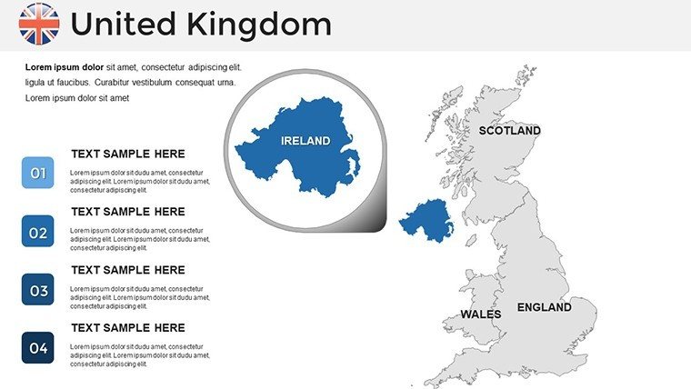
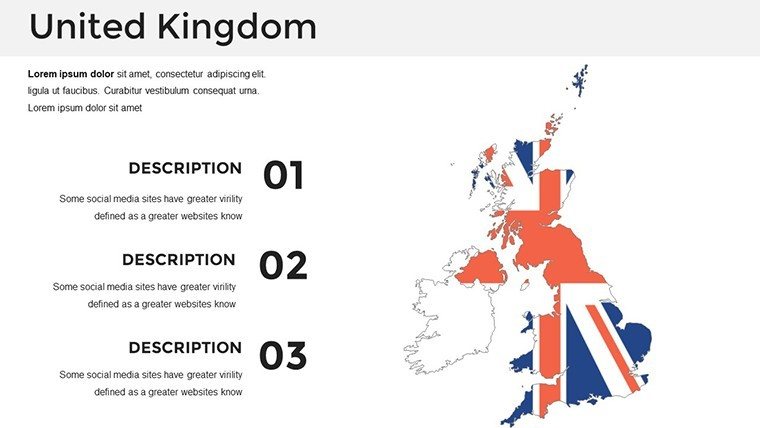
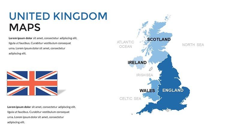
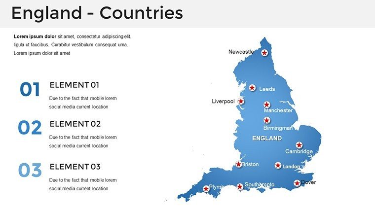
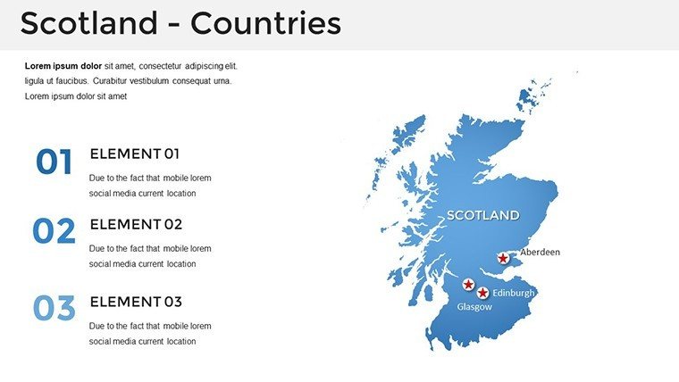
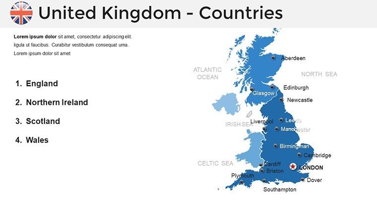
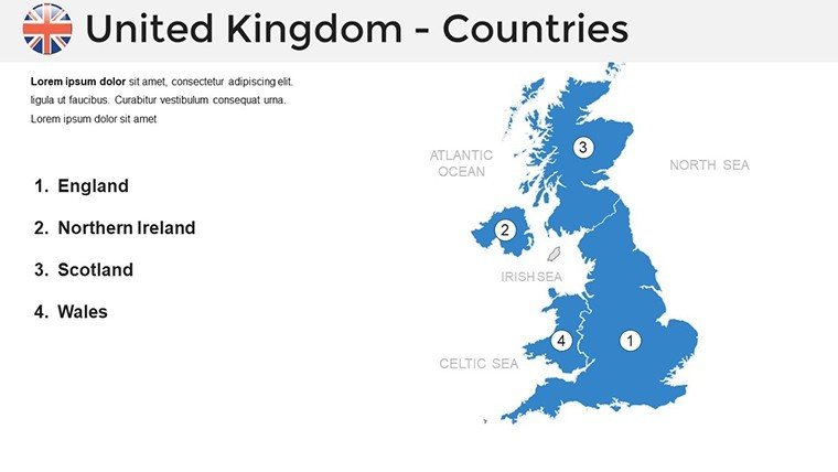
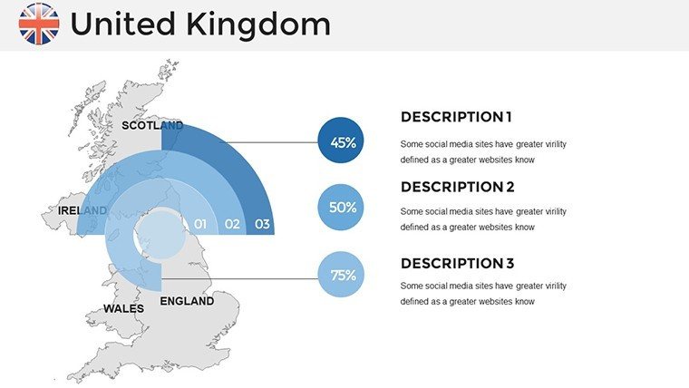
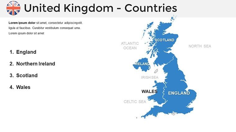
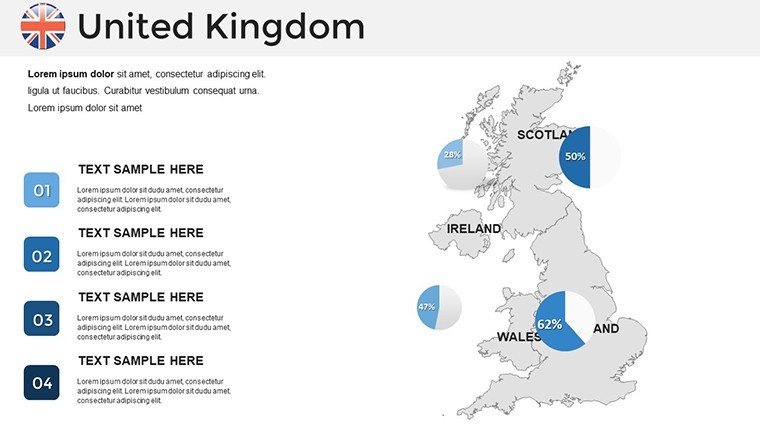
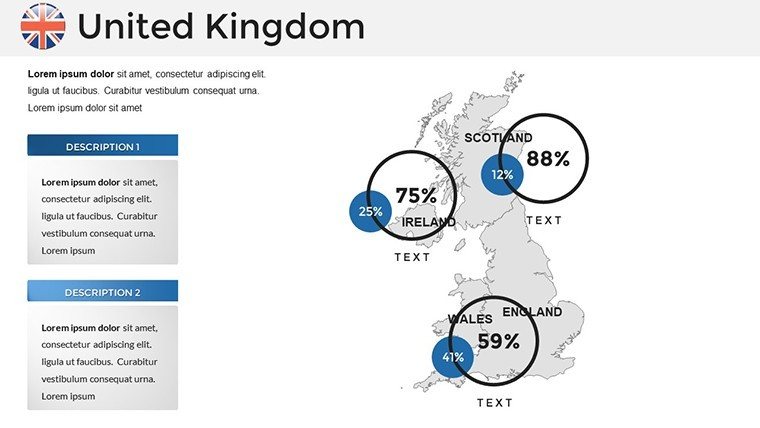
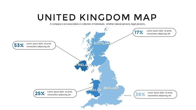
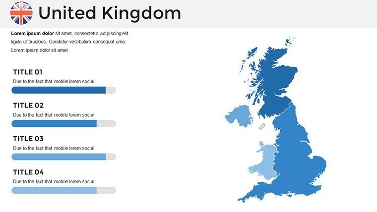
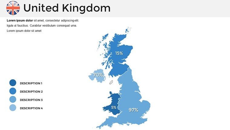
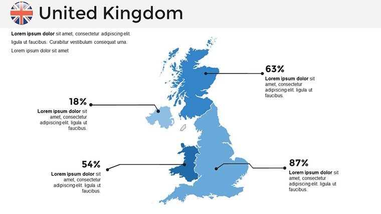
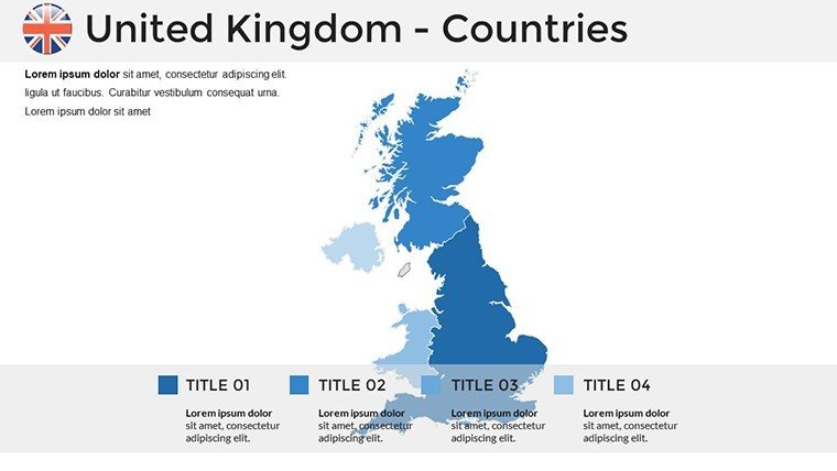
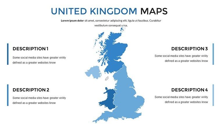
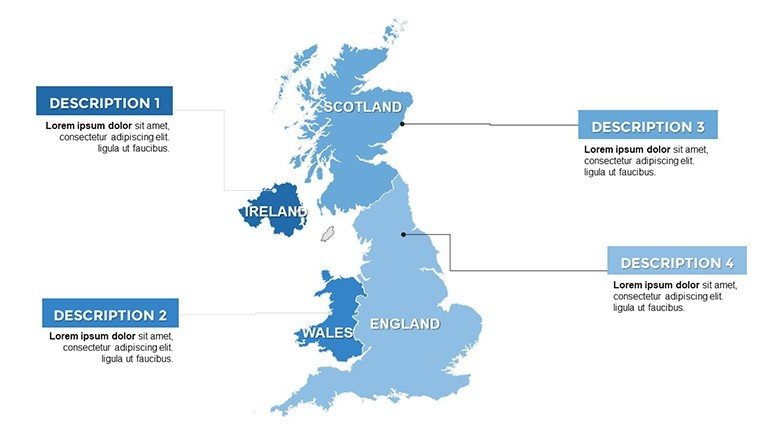
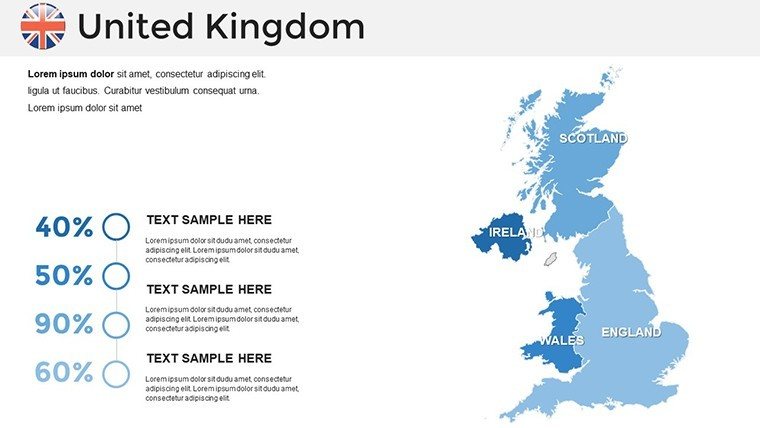
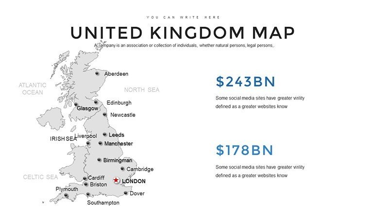
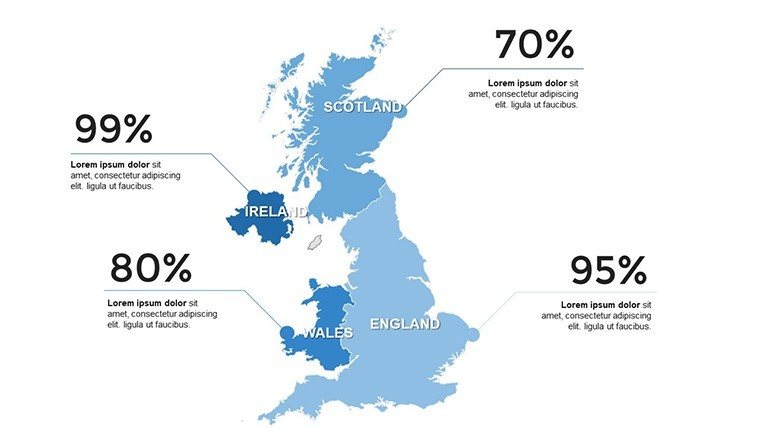
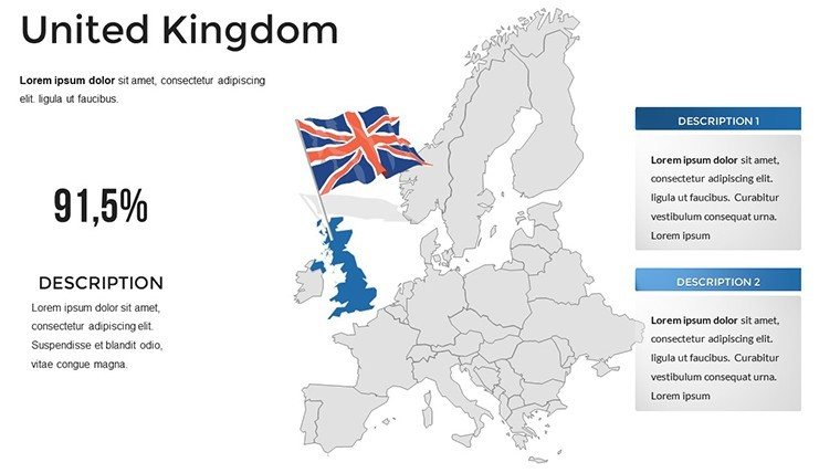
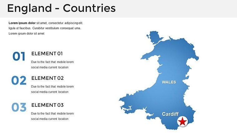
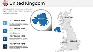
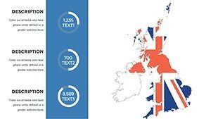
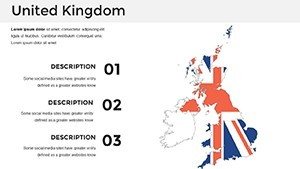
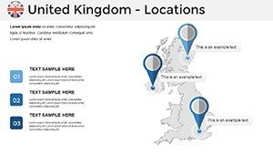
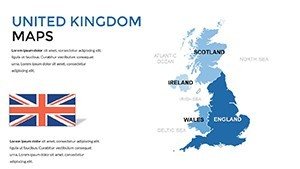
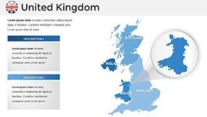
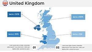
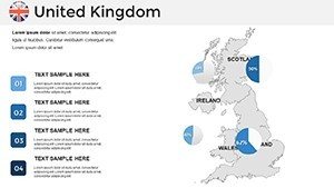
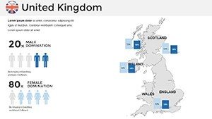
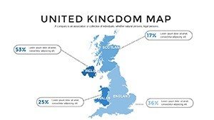
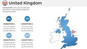
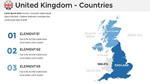
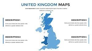
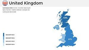
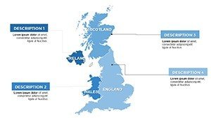
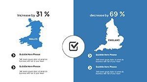
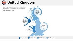
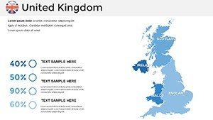
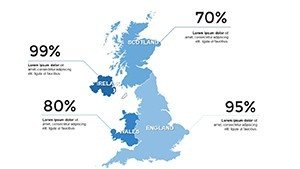
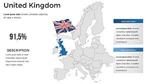
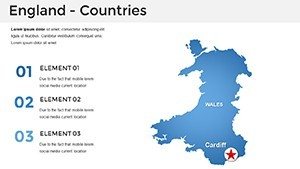
- Comprehensive Regional Vectors: Granular outlines for England, Scotland, Wales, Northern Ireland - drill down to counties like Yorkshire or devolved assemblies in Cardiff. Recolor for union jack subtlety or EU legacy shades.
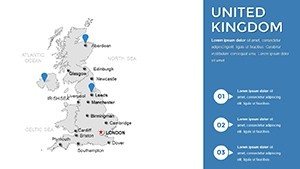
- Landmark-Infused Icons: Built-ins for Big Ben, Stonehenge, Edinburgh Castle - animate to reveal historical footnotes, perfect for cultural impact assessments.
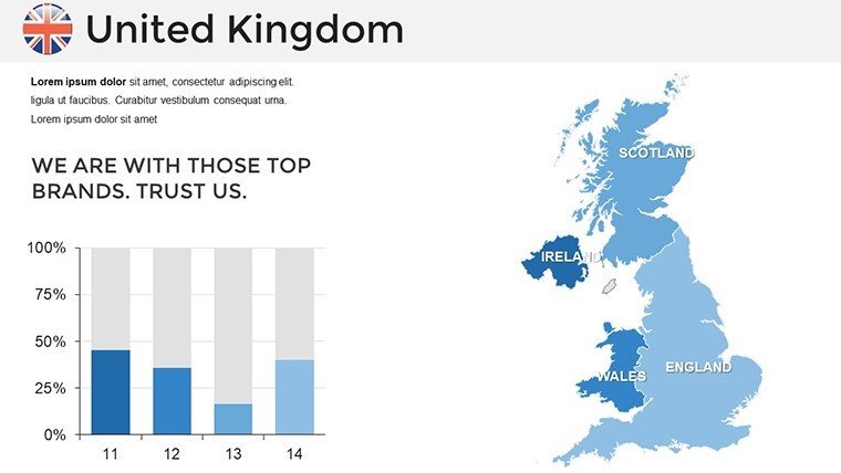
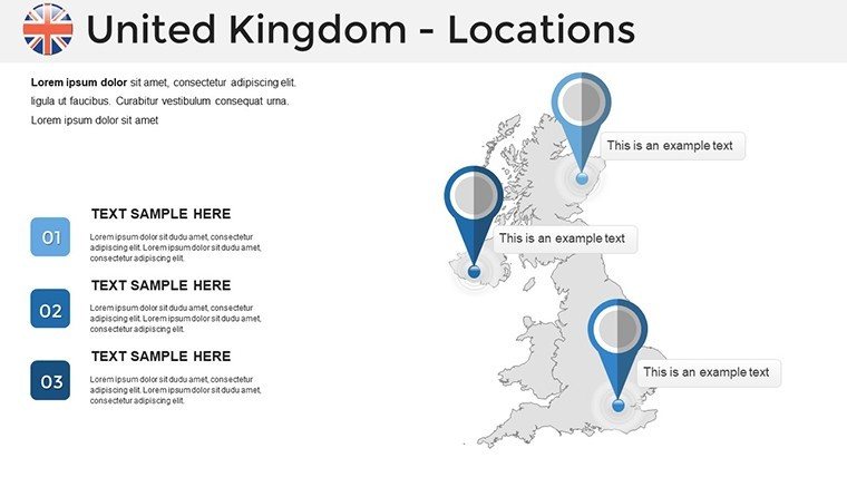
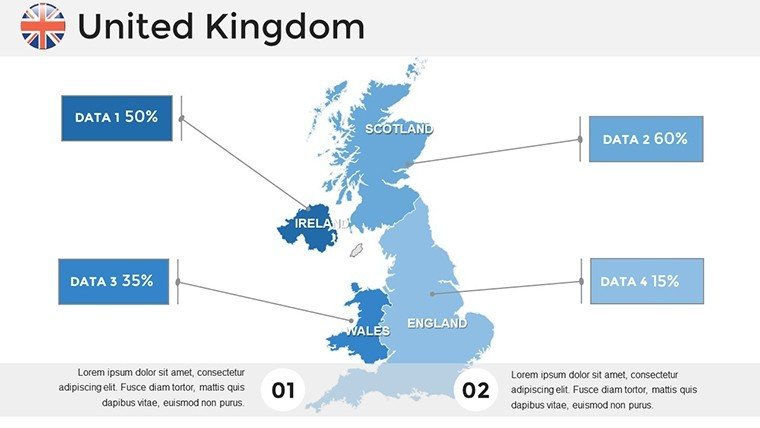
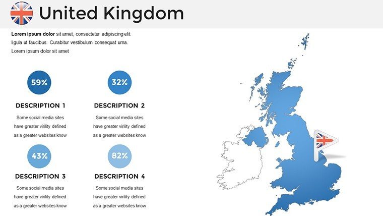
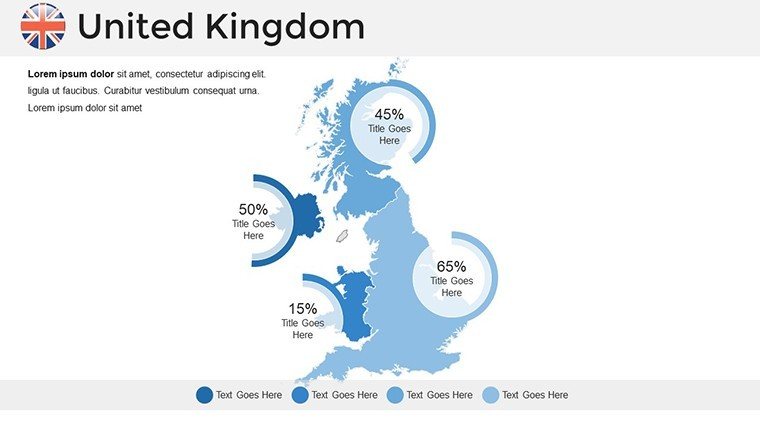
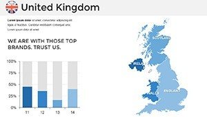
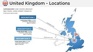
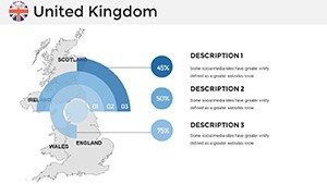
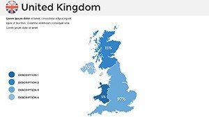
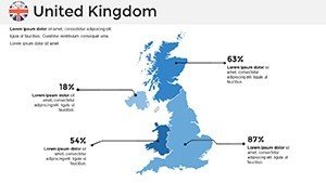
- Dynamic Data Layers: GDP overlays for London vs. Belfast, migration flows post-2016 referendum, and transport hubs with editable routes for infrastructure pitches.
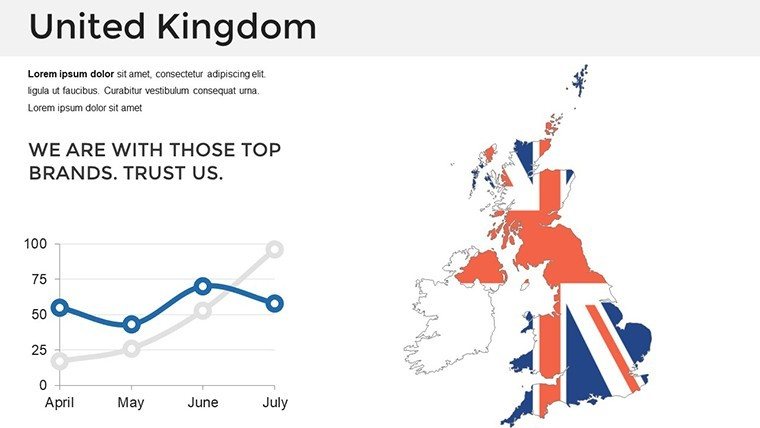
- Elegant Thematic Styling: Foggy moor gradients for moors, tartan textures for Celtic regions - nodding to British design heritage without kitsch.
Outshining stock PowerPoint options with its scalability and source fidelity, it's battle-tested in EU-funded projects. As one consultant put it, "It mapped our chaos into clarity - clients crossed the channel for more."
Slide Deep Dive: Building Block by Block
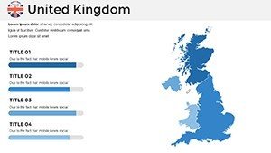
- National Panorama (Slides 1-6): Full UK view with partition toggles - ideal opener for devolution discussions.
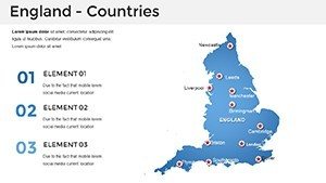
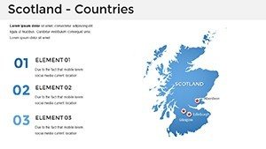
- Country Spotlights (Slides 7-20): England's shires with Thames overlays; Scotland's lochs for renewable energy sites; Wales' national parks for eco-tourism.
- Urban and Thematic Layers (Slides 21-32): City maps for Birmingham canals, economy timelines tracing Industrial Revolution echoes, policy slides for Scottish independence scenarios.
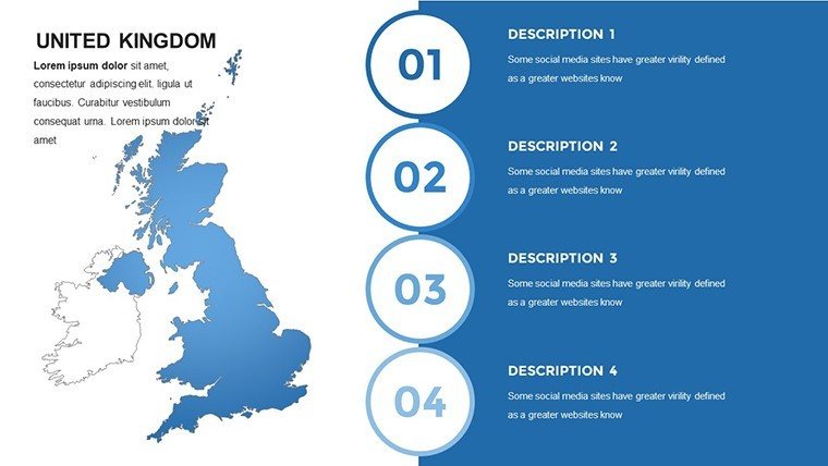
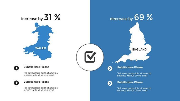
- Versatile Endgames (Slides 33-40): Custom grids for comparative analyses, like urban density London vs. rural Devon.
Dual-aspect ready, they adapt to any setup. Hack: Use hyperlinks between slides for non-linear navigation, mimicking a web of UK connectivity.
Applications Across the Realm: From Planning to Pedagogy
Architects proposing Glasgow's Clyde Waterfront? Layer Slide 18's river map with flood modeling, aligning with UK Climate Projections. Marketers eyeing Belfast's creative quarters can visualize tourism trails, drawing from VisitBritain stats to project 15% growth.
In academia, lecture on Roman roads with overlaid heritage sites; policymakers brief on Northern Powerhouse via economic disparities maps. A Edinburgh practice used it for a wind farm approval, mapping avian corridors - earning nods from RSPB experts.
Grounded in RTPI guidelines, these uses amplify impact, fostering decisions that honor the UK's multifaceted identity.
Workflow Wizardry: Steps to Sovereign Slides
Step 1: Open in PowerPoint, theme to your palette. Step 2: Pull QGIS exports for bespoke boundaries. Step 3: Infuse icons for narrative punch. Step 4: Sequence animations for story arcs. Versatile exports keep you agile.
Visuals drive 90% of info processing (Forbes) - wield them wisely for your UK conquest.
Bespoke Brilliance: Tips from the Trade
Tailor for transatlantic pitches: Highlight synergies like Cardiff's tech boom. Add wry wit - a slide note: "Where tea meets topography." Heed CABE principles for inclusive designs, ensuring maps speak to diverse stakeholders.
"It bridged our isles-wide vision," beamed a user. Claim your UK Map PowerPoint Template now - chart courses that conquer.
Frequently Asked Questions
Are UK devolved regions distinctly mapped?
Yes, separate layers for England, Scotland, etc., with editable governance notes.
Integration with UK gov data?
Placeholders cite ONS/ONS; easy import for live updates.
Portrait mode support?
Flexible - resize for A4 reports or landscape talks.
Historical map variants?
Modular for eras like Empire or post-WWII.
Team editing friendly?
Google Slides optimized for collaborative tweaks.
Accessibility features?
High-contrast options and alt-text prompts included.