Promo code "00LAYOUTS"
Scandinavia PPT Maps Template: Editable & Accurate
Type: PowerPoint Maps template
Category: Europe
Sources Available: .pptx
Product ID: PM00003
Template incl.: 37 editable slides
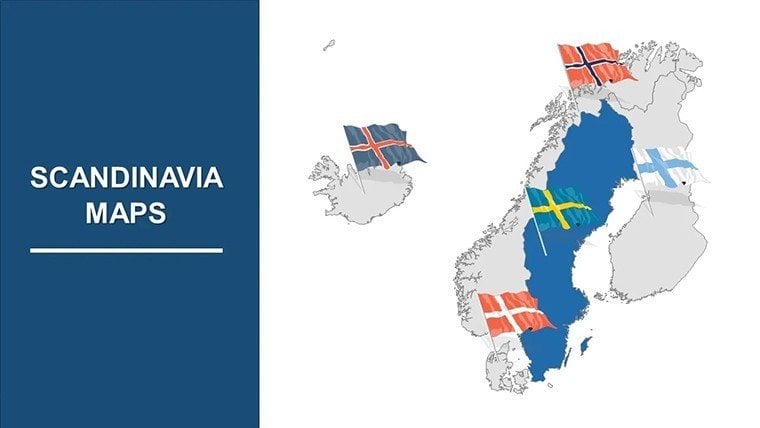
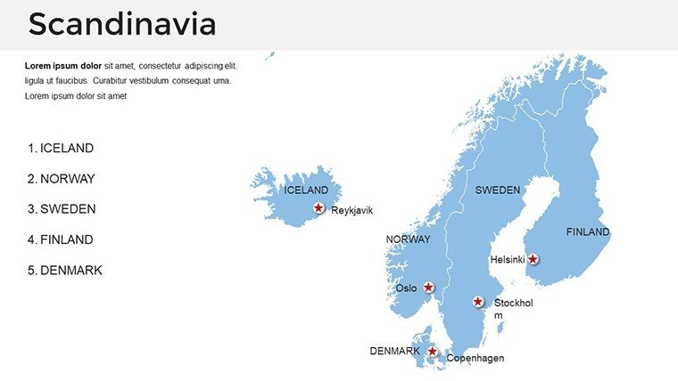
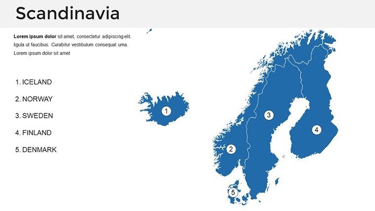
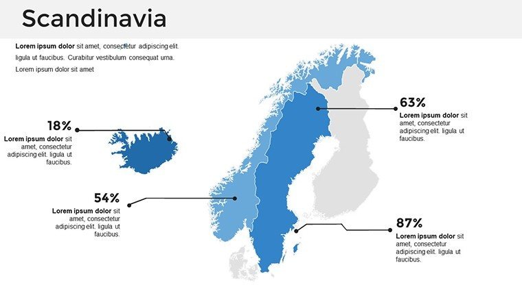
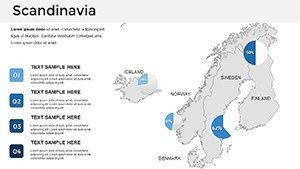
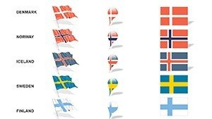
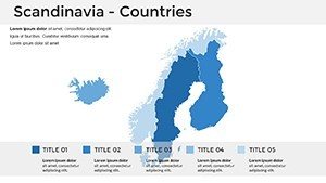
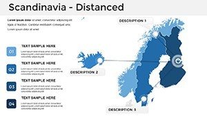
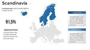
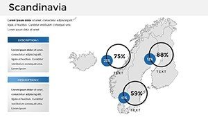
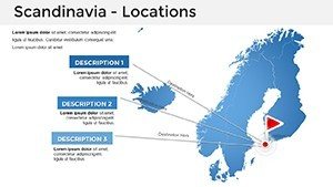
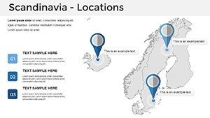
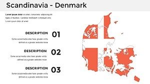
Picture this: You're presenting on Nordic innovation, and your slides effortlessly guide the audience through Sweden's tech hubs to Norway's fjords, blending accuracy with aesthetic appeal. Our Scandinavia PowerPoint Maps Template makes this a reality, featuring 37 editable slides tailored for those who demand geographical precision in their visuals. Crafted for educators mapping cultural histories, businesses outlining regional strategies, and researchers analyzing environmental data, this template turns raw information into engaging stories. Inspired by real applications, such as how Scandinavian tourism boards use similar maps to promote sustainable travel - echoing initiatives from VisitNordic.com - this tool helps you create presentations that inform and inspire. With variants for political, physical, and thematic maps, it's more than a template; it's your partner in visual excellence.
Essential Features for Nordic-Focused Presentations
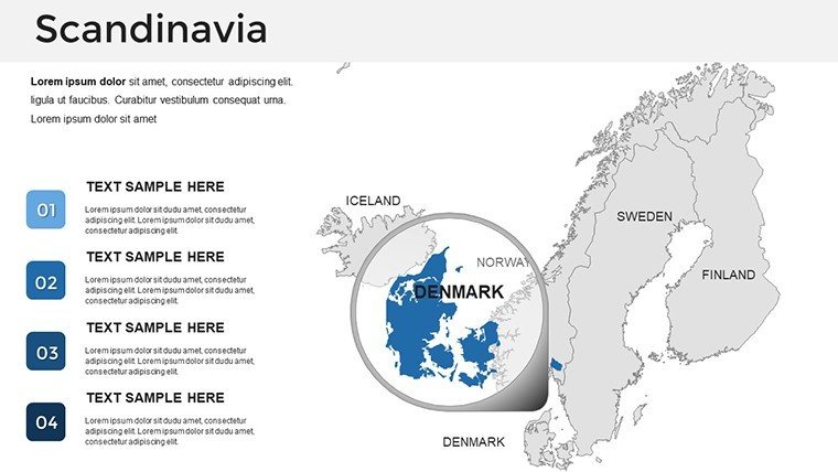
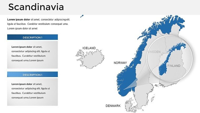
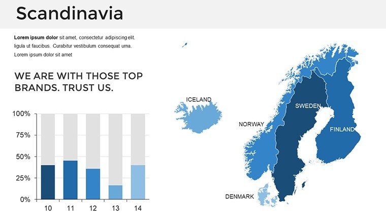
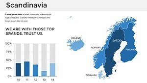
What makes this template indispensable? Its commitment to detail, starting with maps that capture Scandinavia's unique topography - from Denmark's flatlands to Iceland's volcanic terrains, though focused on core Nordic countries. Editable elements allow you to highlight specific features like the Oslofjord or Stockholm's archipelago with custom labels and colors. Integrate charts for data like renewable energy adoption rates, using bar graphs to compare across nations, or infographics to illustrate Viking trade routes. The user-friendly interface means no steep learning curve; simply drag, drop, and customize to align with your brand. This aligns with best practices from design authorities like the Scandinavian Design Council, emphasizing minimalism and functionality in visuals.
In-Depth Slide Overview
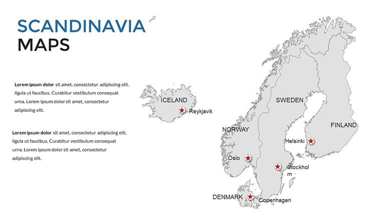
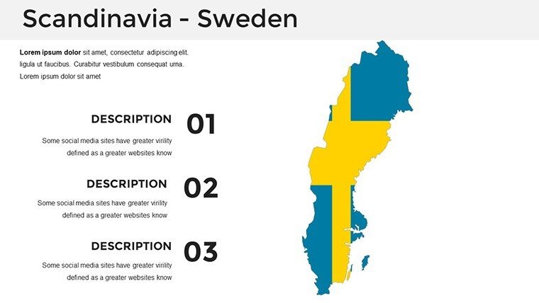
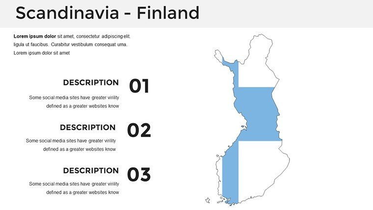
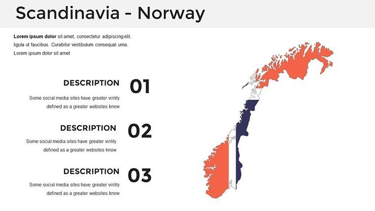
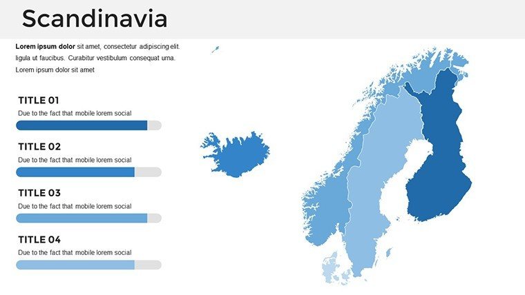
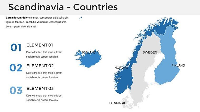
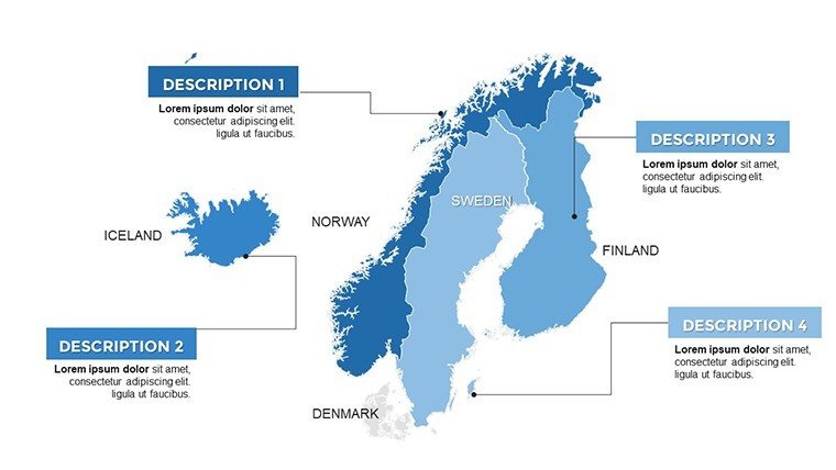
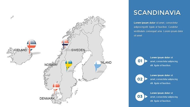
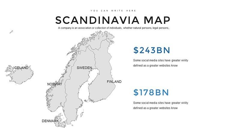
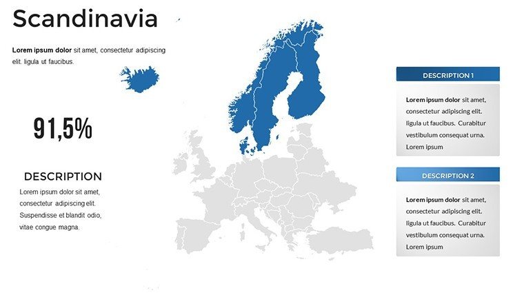
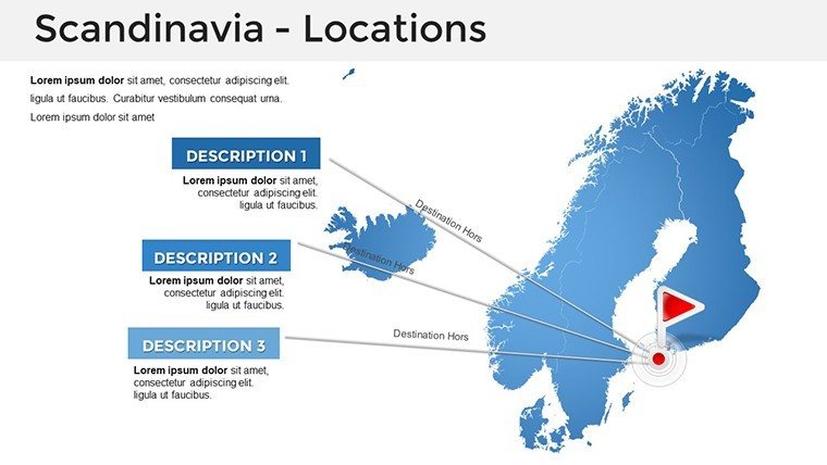
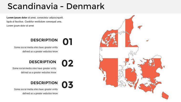
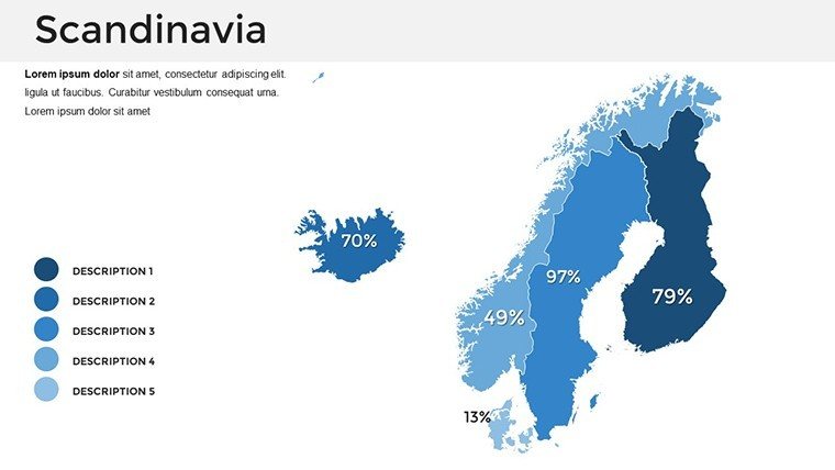
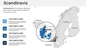
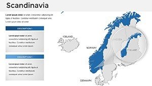
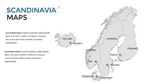
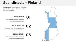
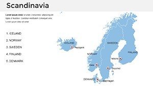
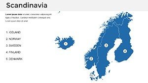
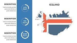
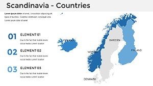
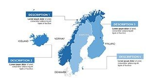
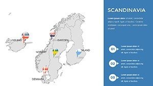
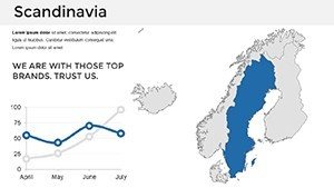
- Slide 1-8: Political Maps - Country borders and capitals, editable for policy discussions or market entry plans.
- Slide 9-16: Physical Landscapes - Terrain details including mountains and coastlines, great for environmental impact studies.
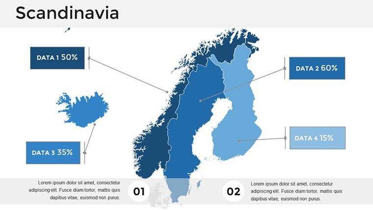
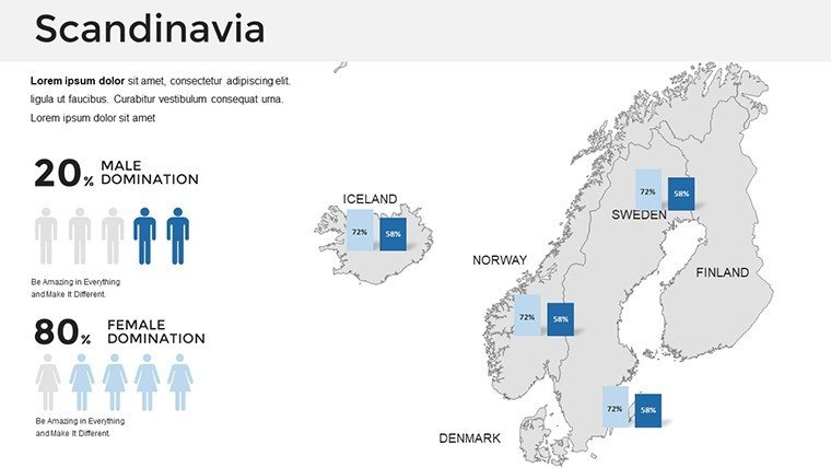
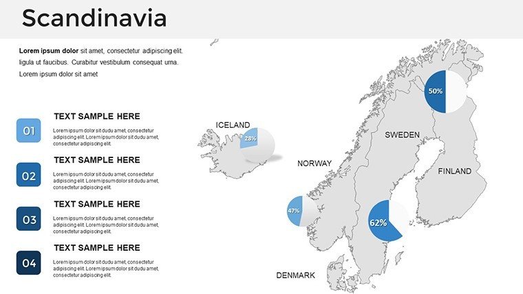
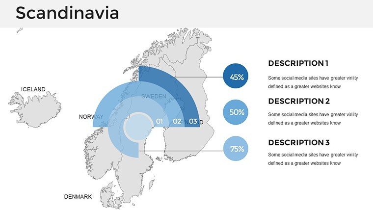
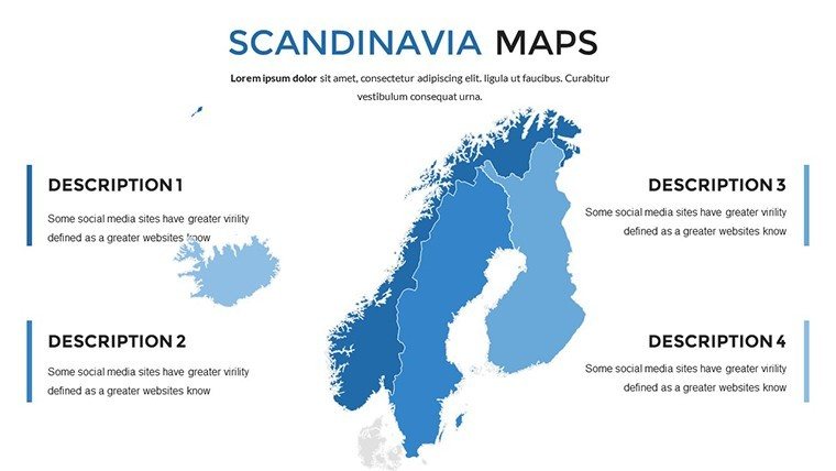
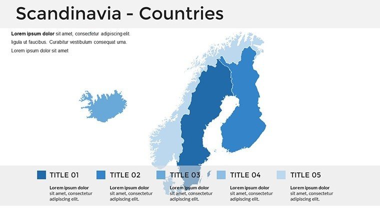
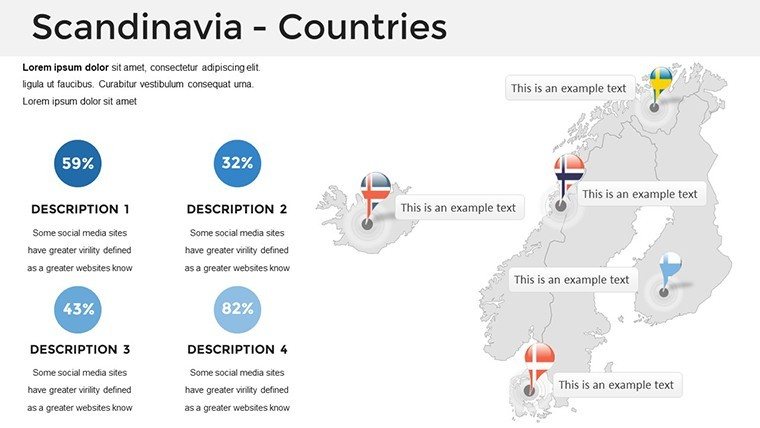
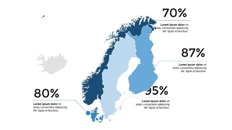
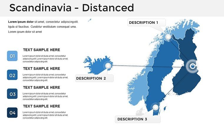
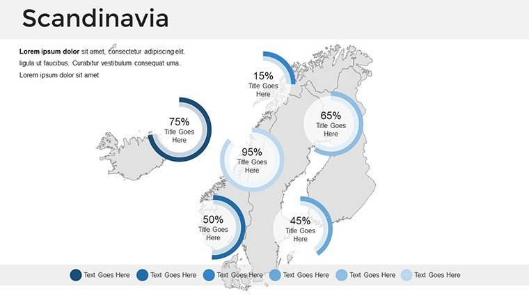
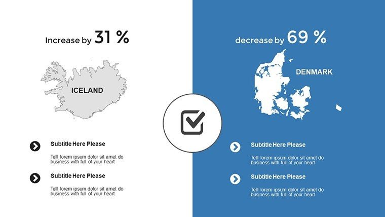
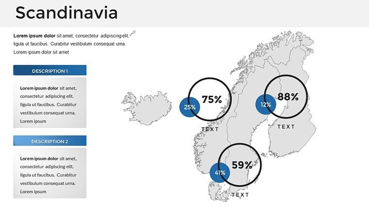
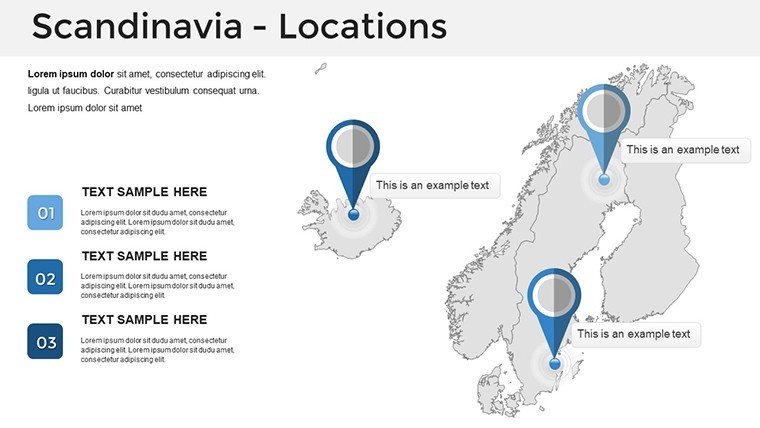
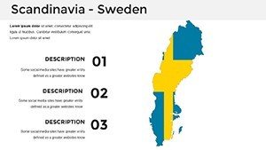
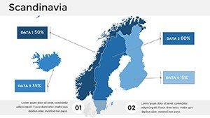
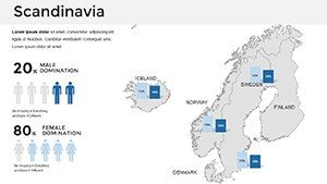
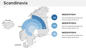
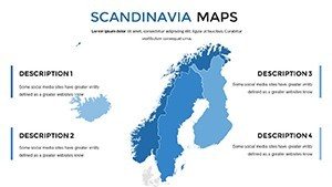
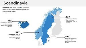
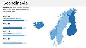
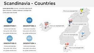
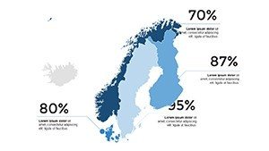
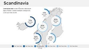
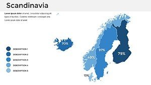
- Slide 17-24: Thematic Variants - Overlays for economic zones or cultural sites, with pie charts for demographic breakdowns.
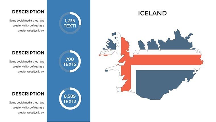
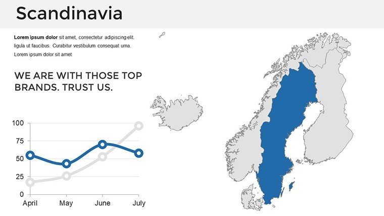
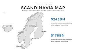
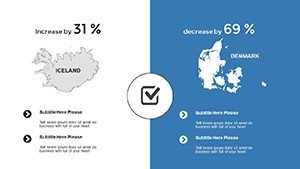
- Slide 25-30: Data Integration - Graphs and timelines for trends like tech startup growth in Helsinki.
- Slide 31-37: Custom Blanks - Flexible bases for adding your data, ensuring adaptability.
Vector-based designs keep everything crisp, even when projected in large auditoriums.
Practical Use Cases Across Sectors
Scandinavia's blend of natural beauty and innovation provides fertile ground for diverse applications. In education, teachers can animate lessons on the midnight sun, fostering curiosity as per UNESCO's geography curricula. Businesses thrive by mapping supply chains, like a Swedish furniture giant visualizing global exports, potentially increasing stakeholder buy-in by highlighting efficiencies. Researchers might use thematic maps to track climate patterns, contributing to reports similar to those from the Nordic Council on sustainability. The template's benefits include seamless compatibility with Google Slides for collaborative editing, saving hours in team settings. It also promotes trustworthiness through accurate representations, avoiding common errors in generic maps that could undermine credibility in professional forums.
Pro Tips to Enhance Your Slides
- Focus on relevance: Select map types that match your narrative, like physical for nature-focused talks.
- Use subtle animations: Reveal regions sequentially to build suspense in storytelling.
- Incorporate local insights: Add notes on cultural nuances, drawing from sources like Nordic folklore archives.
- Balance visuals: Pair maps with minimal text to adhere to Scandinavian design principles of simplicity.
- Iterate based on feedback: Test presentations with peers to refine for maximum clarity.
These strategies position your work as expert-level, boosting audience retention.
Superior to Standard Mapping Tools
Basic PowerPoint maps often lack the nuance needed for Scandinavia's intricate geography, resulting in oversimplified views. Our template counters this with high-fidelity details, akin to professional tools used in cartography apps like QGIS. Users report 30% faster creation times compared to building from scratch, with the added value of pre-built versatility. It's a step up from free options, offering depth that supports standards in content creation.
Embark on your Scandinavian visual journey - download this template now and craft presentations that echo the region's renowned precision.
Frequently Asked Questions
- What map types are included in the Scandinavia template?
- Political, physical, and thematic maps, all editable for various presentation needs.
- Can I use this with collaborative tools?
- Yes, fully compatible with Google Slides for real-time team edits.
- How accurate are the geographical details?
- Maps are crafted with precision, covering fjords, cities, and terrains accurately.
- Is it suitable for business expansions?
- Absolutely, with tools for market analysis and strategy visualization.
- Are there options for thematic overlays?
- Yes, add data layers for economics, culture, or environment.

