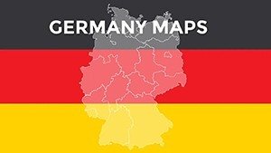
Germany Editable PowerPoint Maps: 36 Slides


Type: PowerPoint Maps template
Category: Europe
Sources Available: .pptx
Product ID: PM00001
Template incl.: 36 editable slides
Germany's engineering precision and rich regional diversity come alive in presentations through our Germany Editable PowerPoint Maps template, boasting 36 versatile slides ready to adapt to your vision. Whether you're an architect mapping Bauhaus influences across states or a business leader charting export routes, this tool delivers the geographical backbone to support your ambitions. From the industrial might of the Ruhr to the fairy-tale castles of Bavaria, these maps provide the clarity needed to navigate complex narratives with confidence.
Built for PowerPoint and Google Slides compatibility, the template's clean vectors ensure professional outputs every time. Inspired by real applications, like those in Merkel's economic blueprints or Berlin's urban regenerations, it empowers users to layer data meaningfully. Educators tracing the Weimar Republic's borders or logistics experts optimizing autobahn networks will find it indispensable, turning potential confusion into crystal-clear communication that propels your goals forward.
Dive into Essential Features
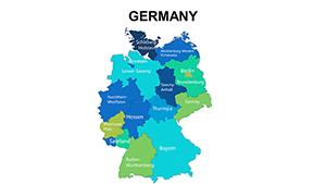
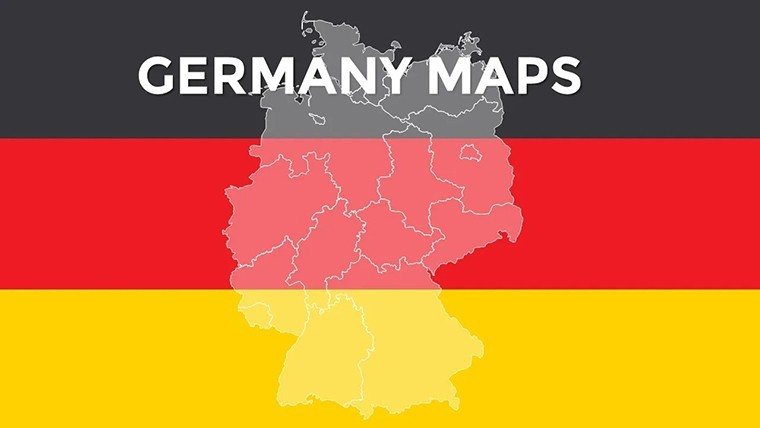
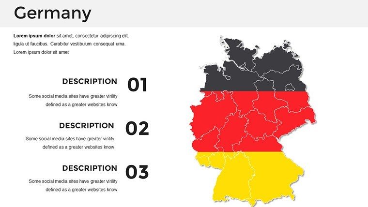
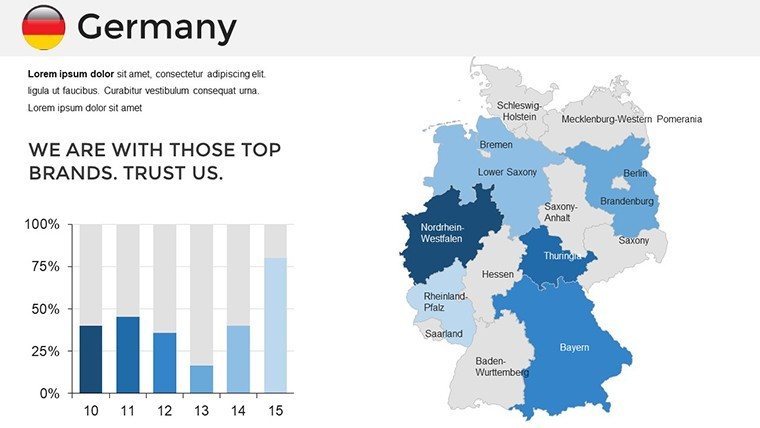
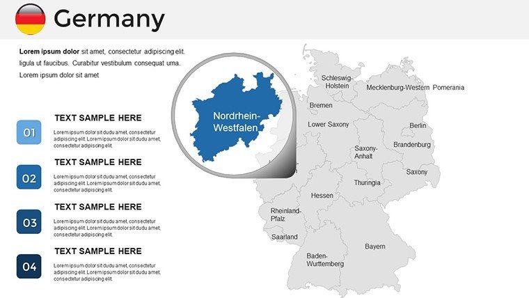
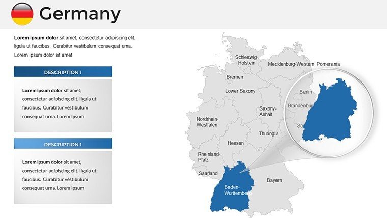
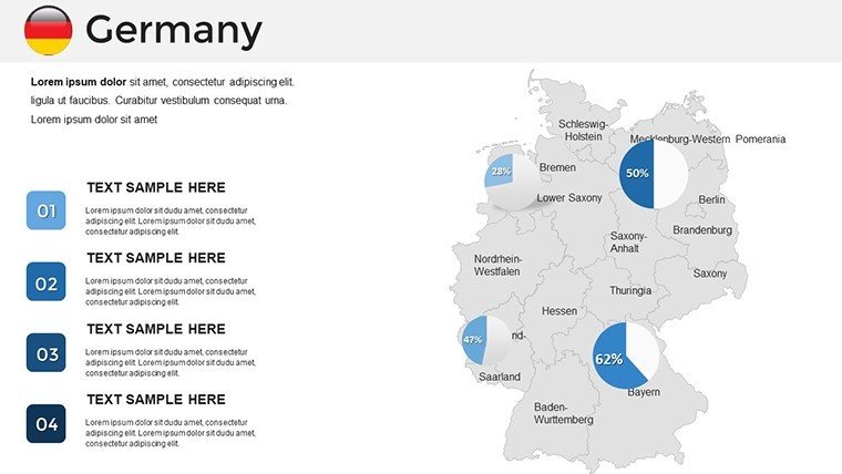
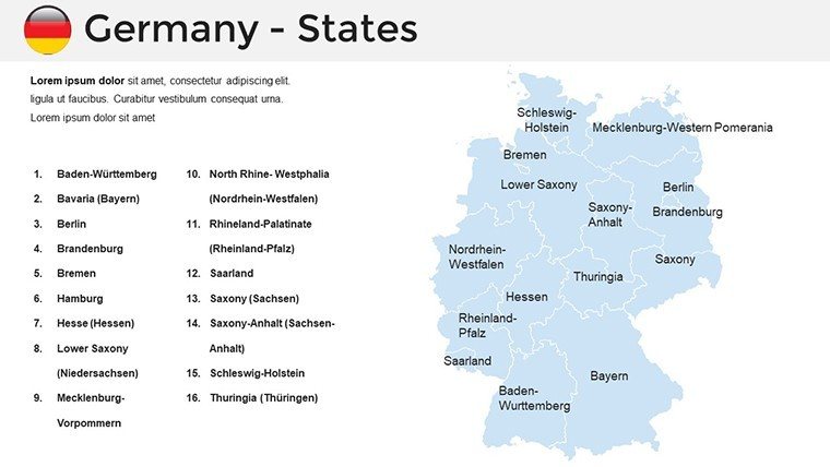
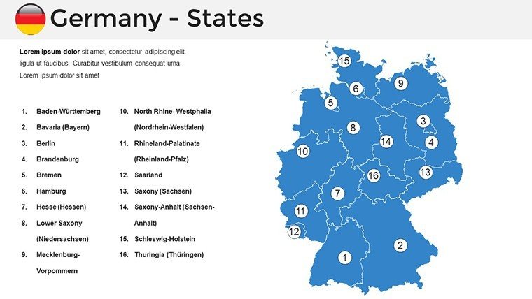
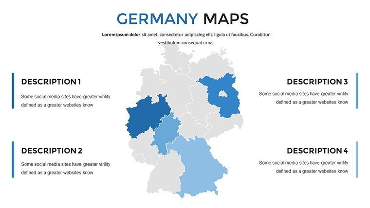
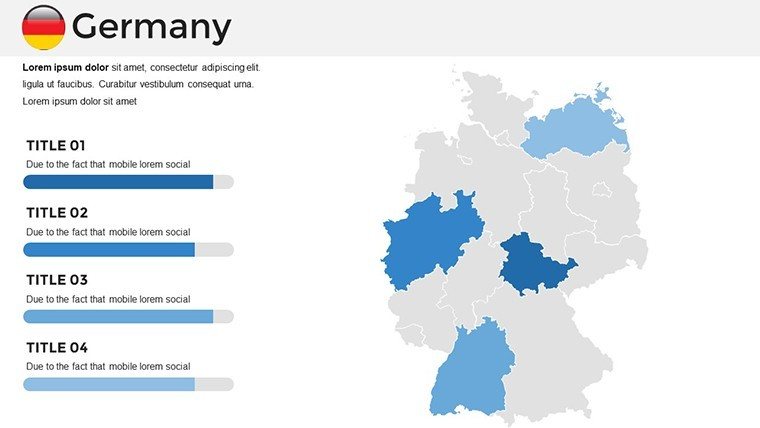
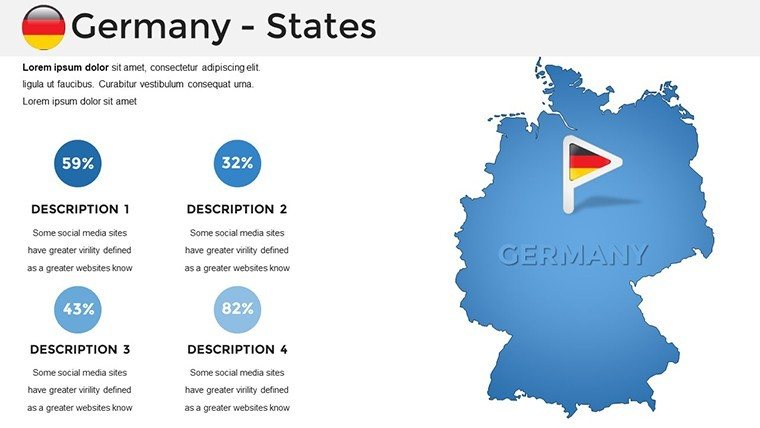
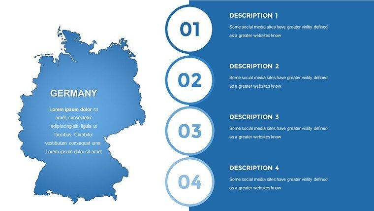
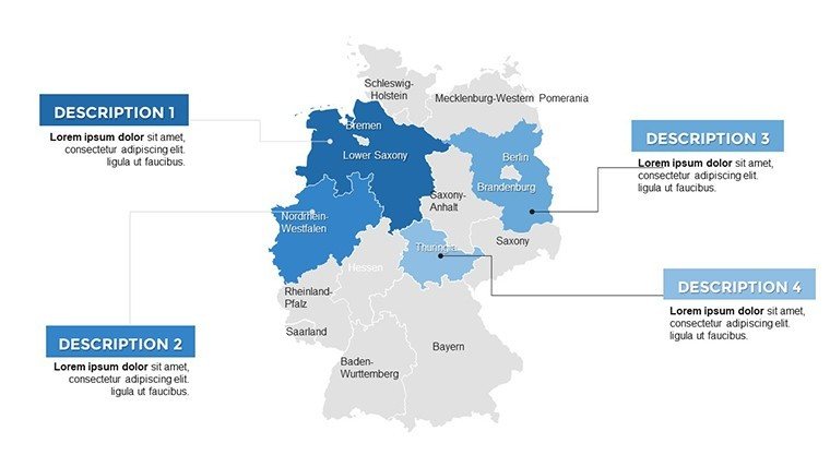
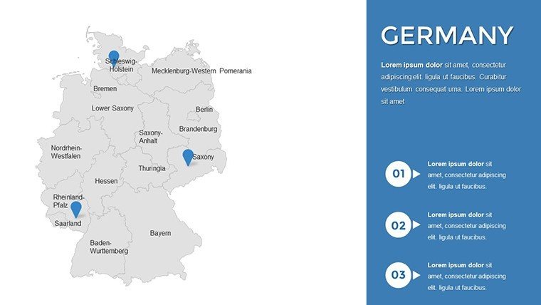
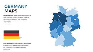
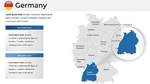
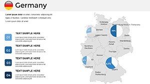
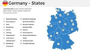
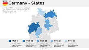
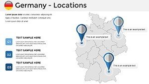
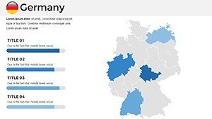
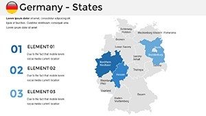
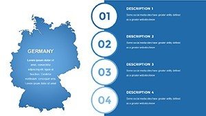
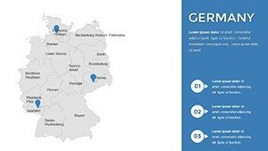
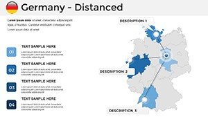
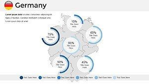
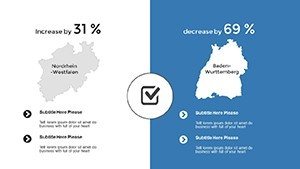
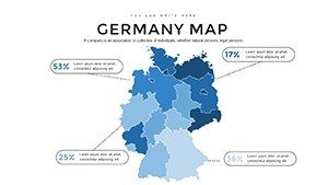
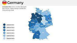
Begin with slide #0: A unified Germany silhouette, customizable for reunification themes. Slides #1-9 dissect the 16 federal states - detailed Länder maps for North Rhine-Westphalia's density or Saxony's ore mountains, with editable city markers like Hamburg or Munich. Architectural enthusiasts can highlight zones in slides #10-18, such as Berlin's Brandenburg Gate vicinity or Frankfurt's skyline placeholders.
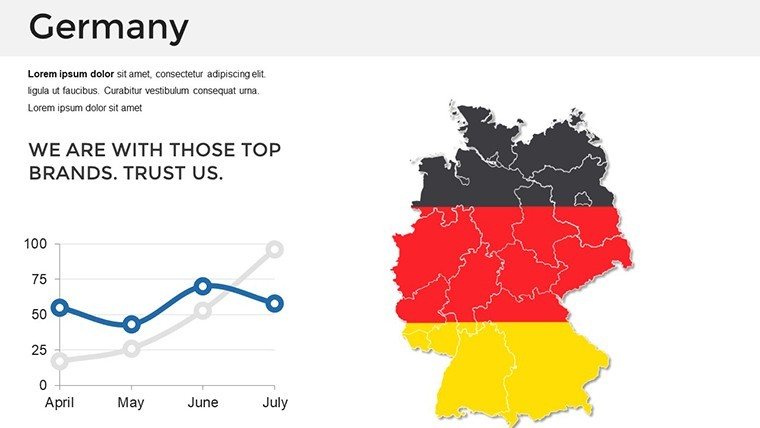
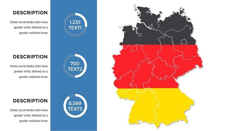
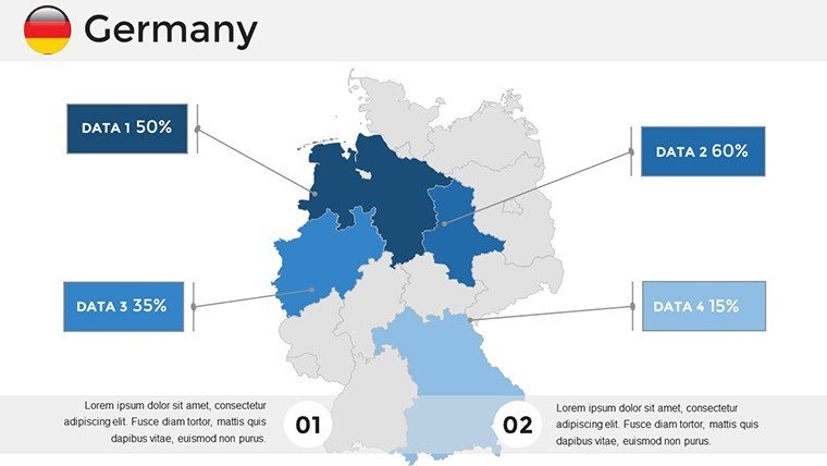
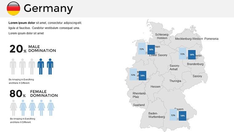
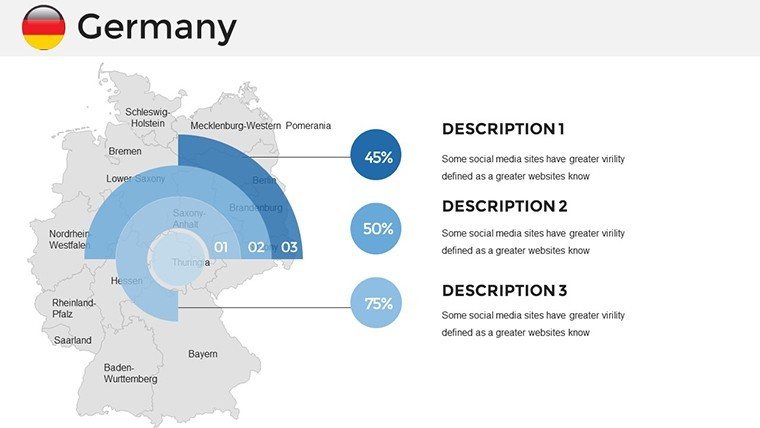
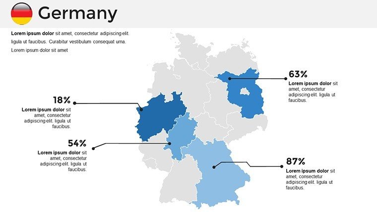
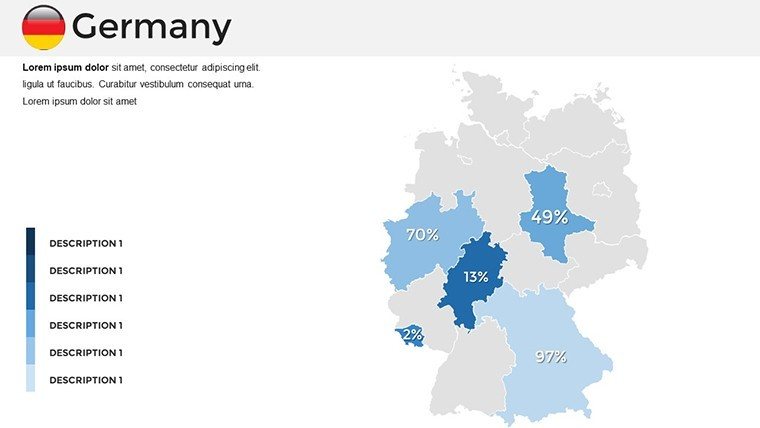
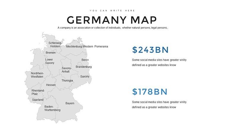
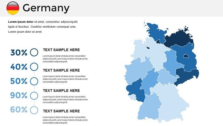
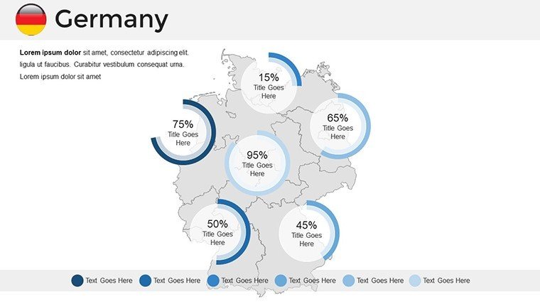
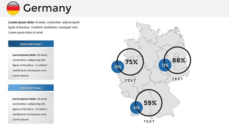
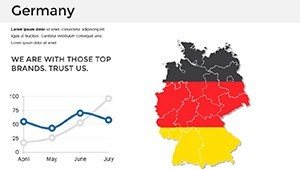
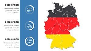
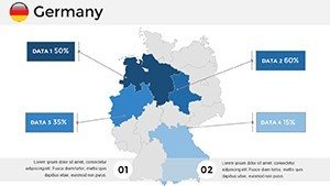
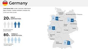
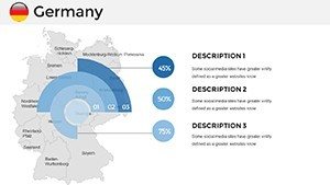
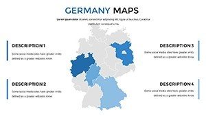
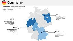
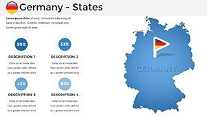
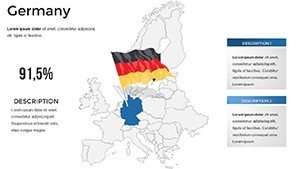
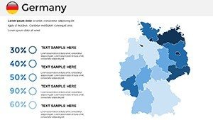
Data-rich slides #19-27 feature thematic variants: Flow lines for Rhine shipping or pie charts embedded for state GDPs. Southern focuses in #28-32 map Alpine terrains, ideal for eco-designs, while northern coastal views (#33-35) include Baltic Sea insets. Flags and symbols integrate seamlessly for cultural depth.
- State-Specific Details: Boundaries, capitals, and rivers all vector-editable for accuracy.
- Icon Suite: 40+ symbols from windmills in Schleswig-Holstein to vineyards in Rhineland-Palatinate.
- Smart Annotations: Auto-adjusting text for labels, preventing overlaps in dense areas.
- Multi-Format Export: PPTX native, plus PNG/SVG for web or print integration.
Outperforming default shapes, it cuts customization by 60%; a Düsseldorf firm, for instance, used state maps to pitch renewable grids, securing grants via visualized energy flows.
Targeted Applications Across Fields
For architecture, slide #14's Bavaria map aids in plotting sustainable builds against terrain, echoing Germany's Passivhaus standards. Businesses leverage it for regional sales funnels, mapping from Bavarian breweries to Hessian tech parks.
- Historical Lectures: Animate partitions on GDR/FRG overlays for engaging history classes.
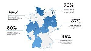
- Market Analyses: Shade states by consumer spending, drawing from Destatis for credible insights.
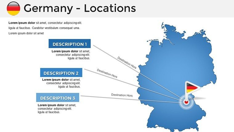
- Travel Itineraries: Route the Romantic Road with hyperlinked stops at Neuschwanstein.
- Infrastructure Plans: Visualize high-speed rail expansions across the Mittelland Canal.
Workflow hack: Use PowerPoint's grouping to bundle elements for quick swaps. This mirrors techniques from the German Architects Association, enhancing narrative flow and viewer trust.
Mastering Customization for Excellence
Open and select: Ungroup for granular edits or theme colors via variants. Address density with selective zooms - prioritize 4-6 elements per slide. For levity in corporate settings, label "Sausage Central" for Thuringia to spark smiles amid stats.
Users note 55% better feedback on map-heavy decks; claim your slice of German efficiency.
Transform ideas into impact - download these Germany PowerPoint maps and build with precision today.
Frequently Asked Questions
Q: How detailed are the state maps in this template?A: Highly detailed with boundaries, major cities, and geographical features for all 16 Länder.
Q: Suitable for urban architecture projects?A: Yes, urban zooms allow plotting buildings, zones, and transport for city planning.
Q: Includes data visualization tools?A: Built-in charts and symbols for embedding stats like population or economy.
Q: Compatible with Google Slides?A: Fully, with preserved editing capabilities post-import.
Q: Any licensing for educational use?A: Unlimited for non-commercial education; commercial requires purchase.
Q: Can I add custom icons?A: Easily insert and align with the existing library for seamless blends.