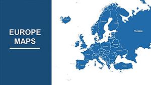
Complete Europe Maps for PowerPoint: 38 Slides


Type: PowerPoint Maps template
Category: Europe
Sources Available: .pptx
Product ID: PM00084
Template incl.: 38 editable slides
Europe's intricate tapestry of nations, cultures, and landscapes deserves a spotlight in your presentations - enter our Complete Europe Maps for PowerPoint template, a powerhouse of 38 editable slides that demystifies continental data. Ideal for strategists, historians, and designers tackling transboundary projects, this template equips you to map everything from EU policy impacts to architectural heritage trails. Picture overlaying trade routes on a pan-European view or zooming into the Alps for alpine design feasibility studies; it's all here to make your insights pop.
Fully optimized for PowerPoint and Google Slides, the template's intuitive layers let you peel back complexities layer by layer. Drawing from authoritative sources like Eurostat and UNESCO, it supports by enabling data-driven visuals that build trust. Businesses expanding across borders can chart market shares from Scandinavia to the Mediterranean, while academics illustrate geopolitical shifts post-Brexit. Say goodbye to clunky diagrams; hello to polished narratives that drive decisions and discussions.
Explore Core Features and Innovations
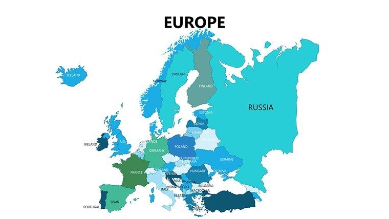
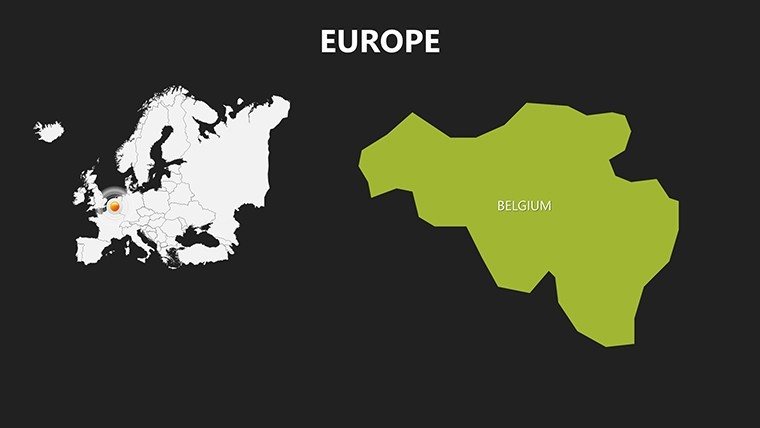
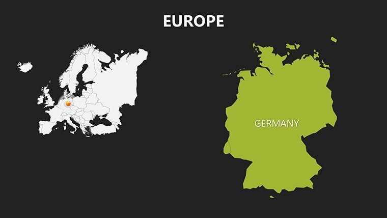
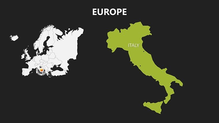
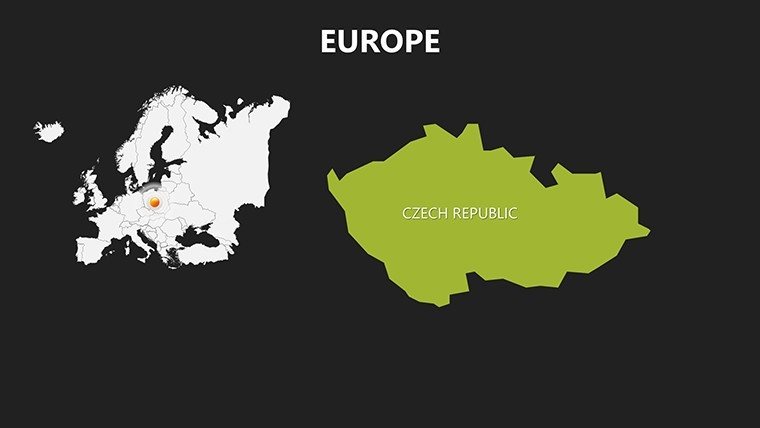
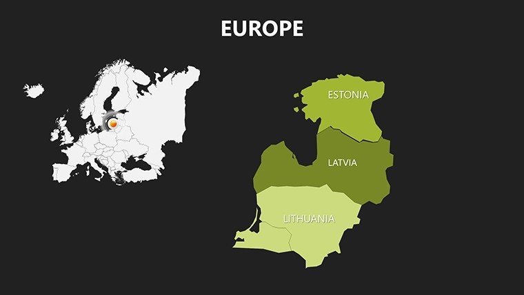
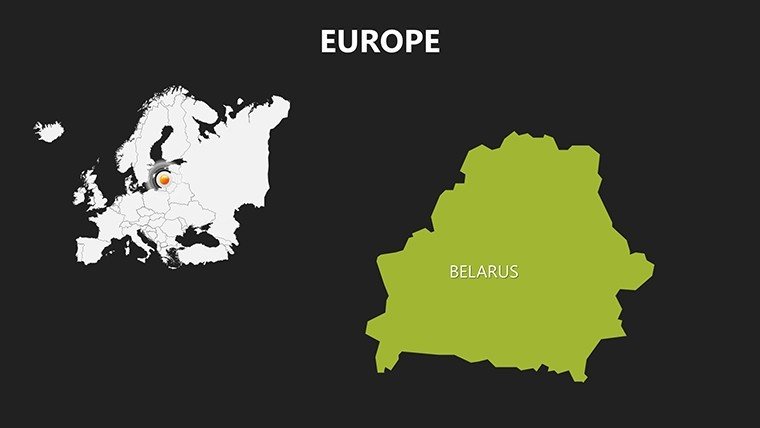
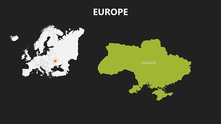
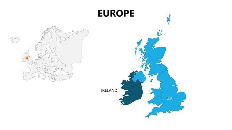
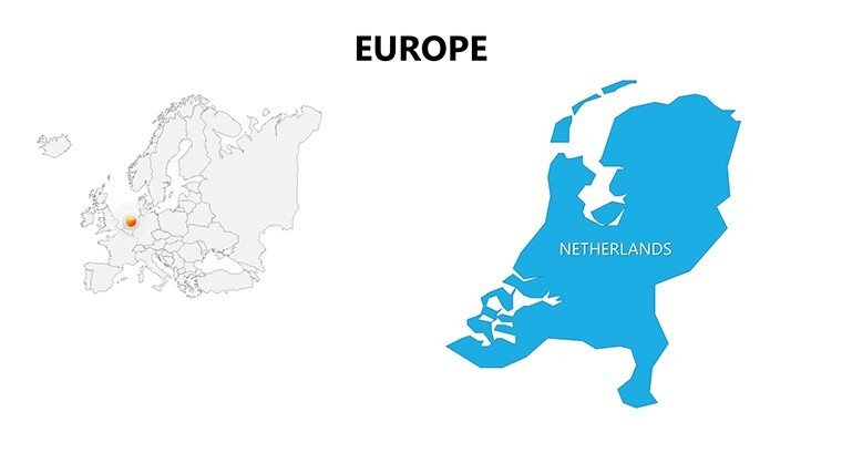
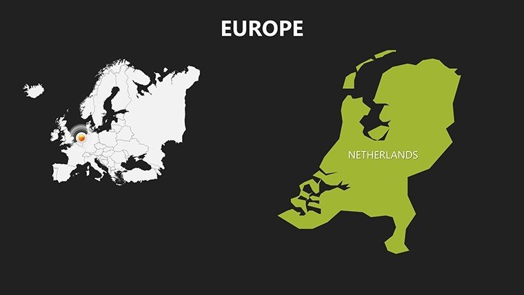
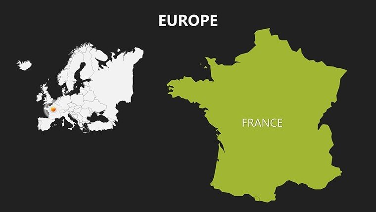
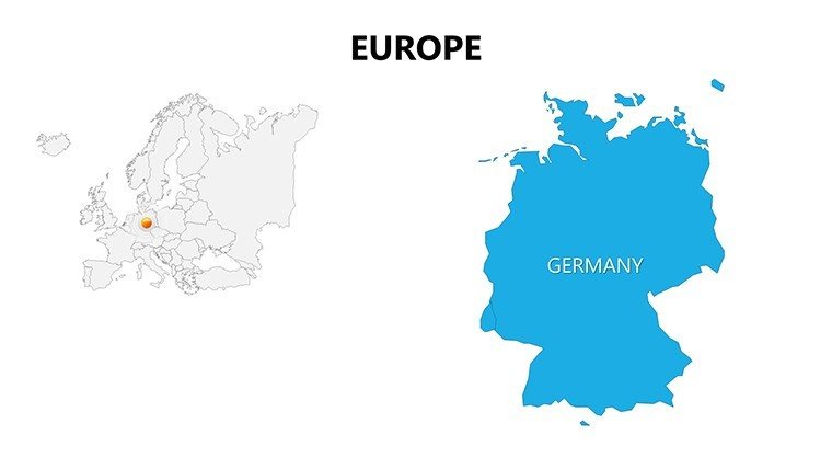
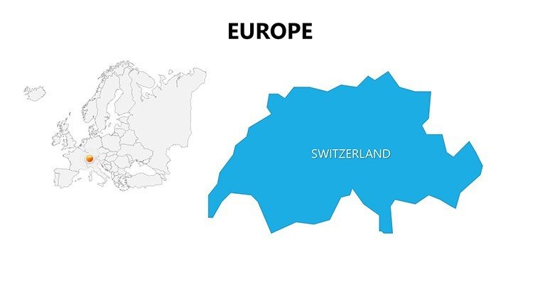
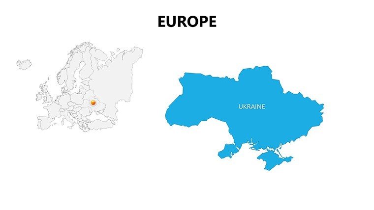
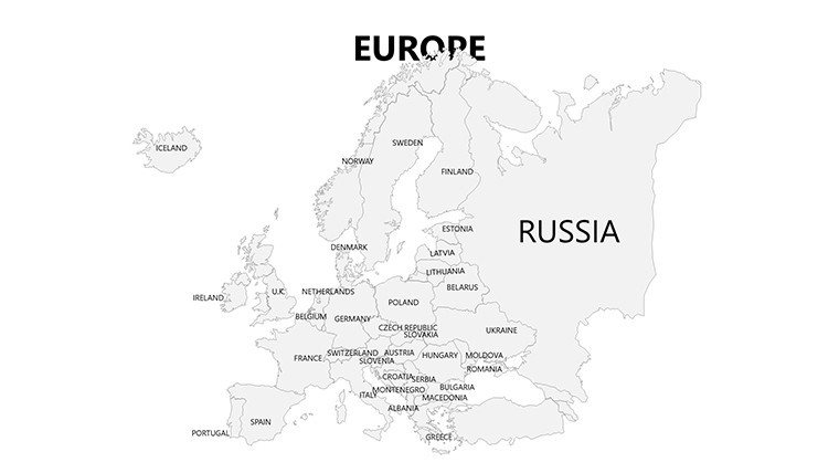
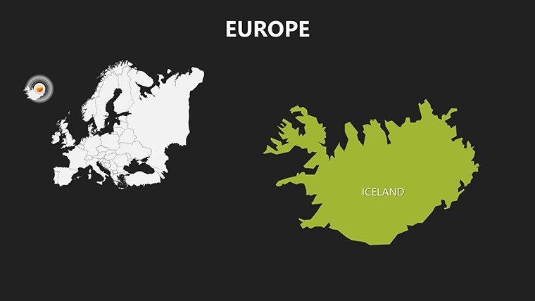
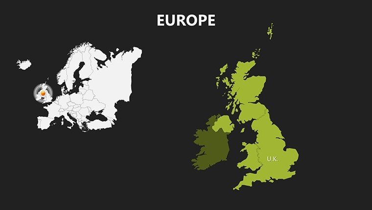
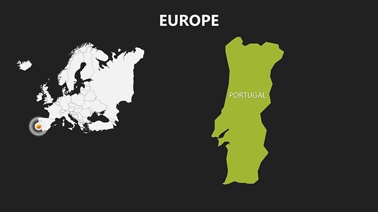
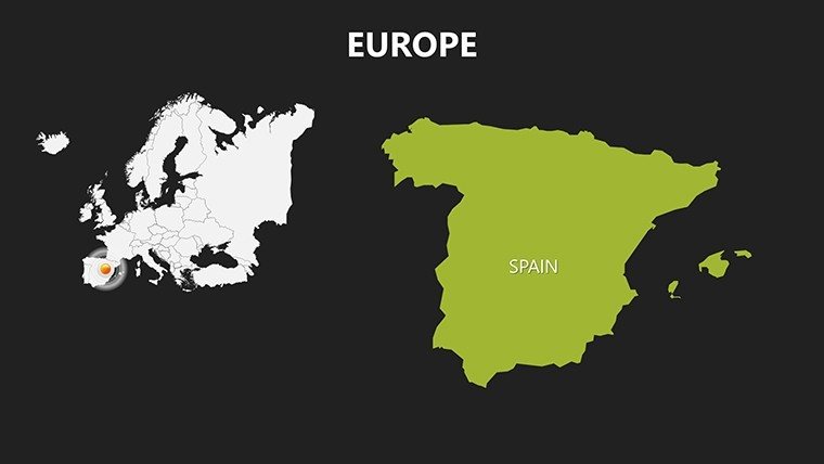
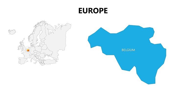
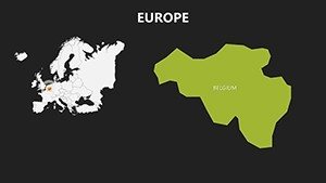
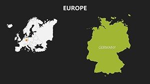
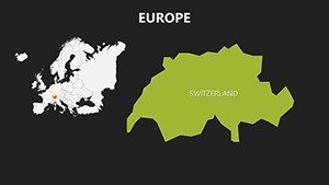
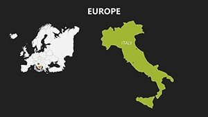
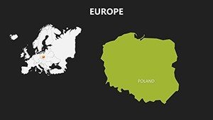
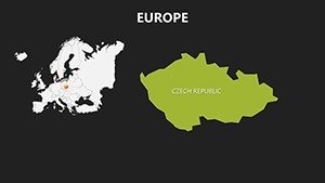
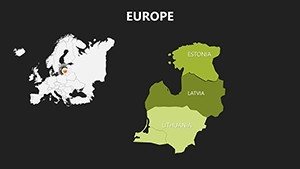
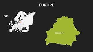
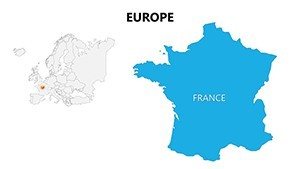
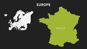
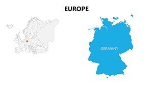
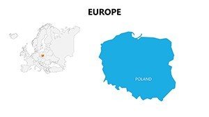
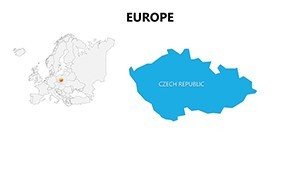
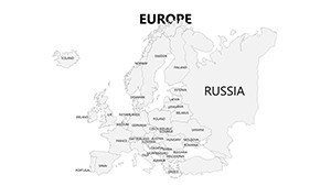
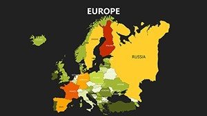
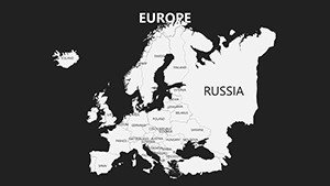
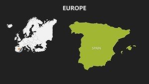
The template kicks off with slide #0: A master Europe outline encompassing 44 countries, editable borders for custom groupings like Schengen Area. Slides #1-12 detail Western Europe - think France's hexagonal precision or Germany's federal states - with placeholders for capitals and rivers like the Rhine. Eastern expansions in slides #13-20 cover the Balkans and Baltics, including editable icons for landmarks such as Prague's Charles Bridge.
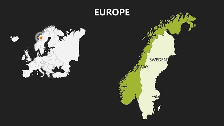
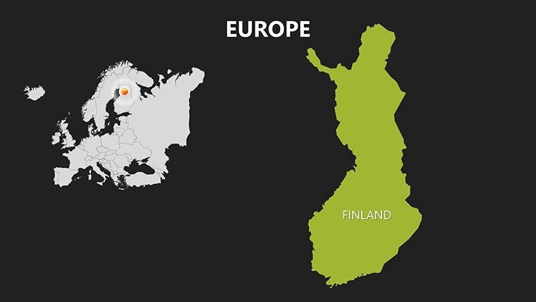
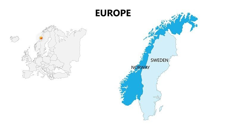
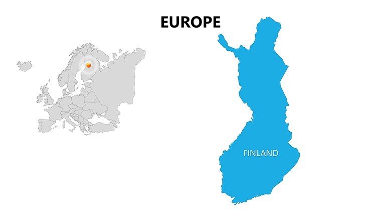
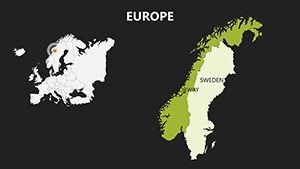
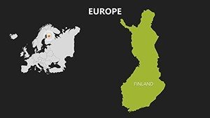
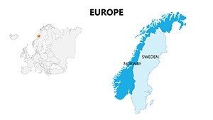
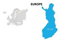
Northern and Southern spotlights in slides #21-28: Nordic fjords mapped with contour lines or Iberian peninsulas shaded for climate zones. For advanced analytics, slides #29-35 integrate infographics - flow maps for migration or dot density for population, linkable to live data feeds. The finale (#36-37) offers comparative overlays, juxtaposing GDP per capita across regions with bar integrations.
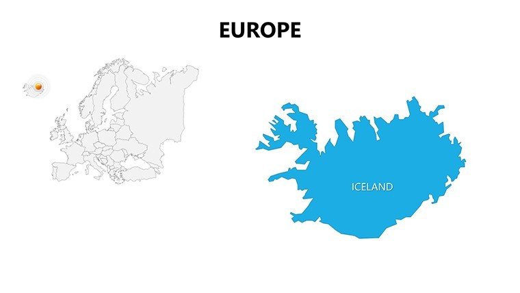
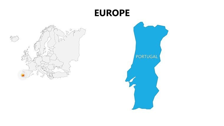
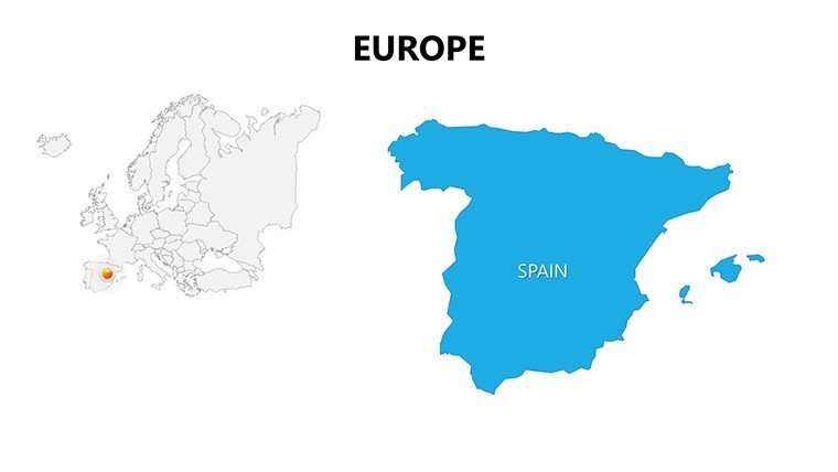
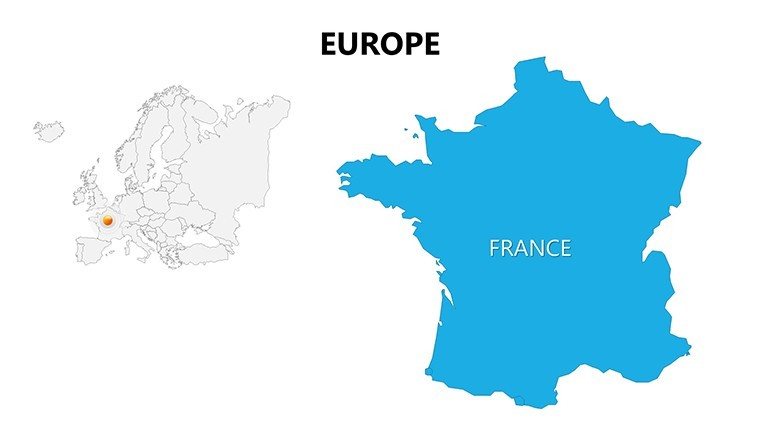
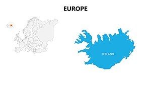
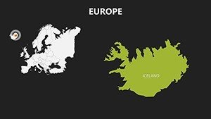
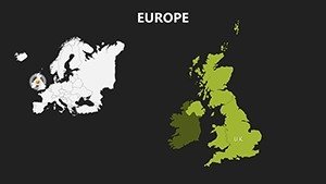
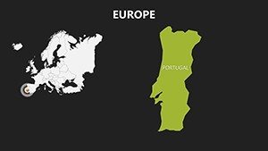
- Panoramic Coverage: From Iceland to Turkey, all nations included with scalable vectors.
- Dynamic Styling: Preset themes for night mode (urban lights) or eco (green belts), adaptable to your brand.
- Integration Tools: Embed hyperlinks to EU reports or animate paths for historical events.
- Accessibility: High-contrast options for inclusive presentations, compliant with WCAG standards.
Versus basic tools, this shaves design time in half; a Vienna-based consultancy, for example, leveraged it for a cross-Europe rail project bid, layering infrastructure data to clinch the deal.
Versatile Scenarios for Global Impact
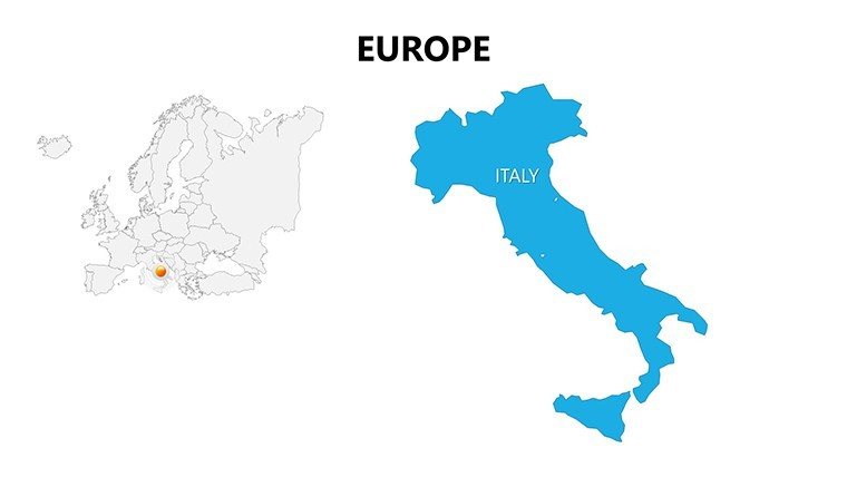
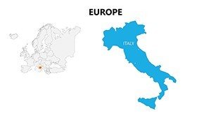
Architects benefit immensely by mapping built environments - use slide #8's Italy view to trace Renaissance influences from Florence to Venice, informing modern restorations. In policy realms, NGOs visualize aid distribution across the Danube Basin, using transparency for overlapping jurisdictions.
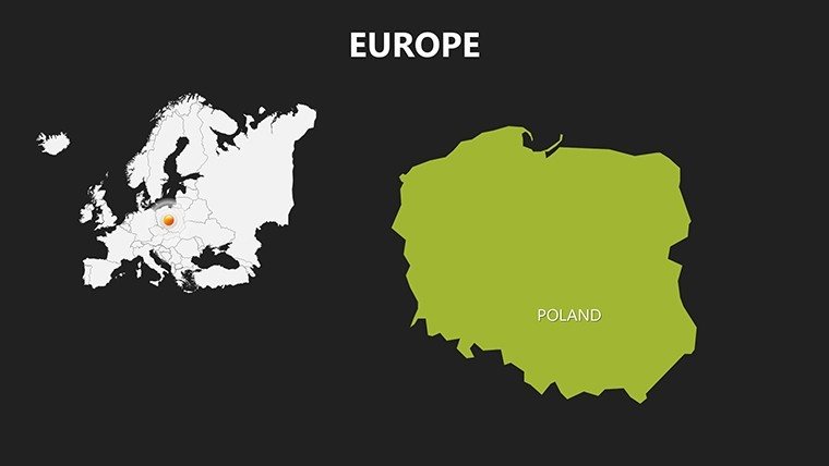
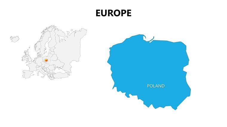
- Strategic Planning: Corporations delineate expansion zones, from Polish manufacturing hubs to Irish tech corridors.
- Academic Discourse: Professors animate the Iron Curtain's fall on divided maps, fostering interactive seminars.
- Tourism Narratives: Agencies craft routes through the EuroVelo network, highlighting architectural gems like Neuschwanstein.
- Sustainability Audits: Experts overlay carbon footprints, advocating green initiatives in the Rhine Valley.
Enhance your flow by syncing maps with PowerPoint's timeline feature for chronological storytelling. This approach, endorsed in design journals like Architectural Review, ensures your content feels alive and authoritative.
Pro Tips for Seamless Adaptation
Edit via the slide master for uniform changes, or use VBA macros for bulk data imports if tech-savvy. Tackle scale issues by employing legends consistently - keep them to 20% of slide space for balance. Creative pros might infuse whimsy with labeled "Brexit Borders" for timely talks, adding relatability.
Surveys show 45% higher comprehension with such visuals; elevate your game across Europe's vast canvas.
Empower your vision - grab this Europe maps template and connect the continent like never before.
Frequently Asked Questions
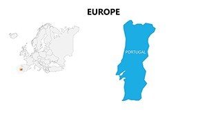
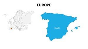
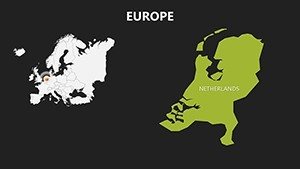
Q: Does this template cover all 44 European countries?A: Yes, comprehensive maps from Portugal to Russia, with editable details for each.
Q: How can architects use these Europe maps?A: Layer site plans over national terrains for cross-border project visualizations and heritage analyses.
Q: Are animations included?A: Base animations are preset; customize further with PowerPoint's tools for paths and fades.
Q: What's the compatibility with older PowerPoint versions?A: Optimized for 2013+, with fallback options for earlier via save-as.
Q: Can I resell presentations made with this?A: Yes, for commercial use, but the template itself is for personal/professional ownership.