Central America PowerPoint Maps: Editable Template


Type: PowerPoint Maps template
Category: Central America
Sources Available: .pptx
Product ID: PM00077
Template incl.: 20 editable slides
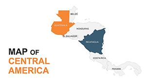
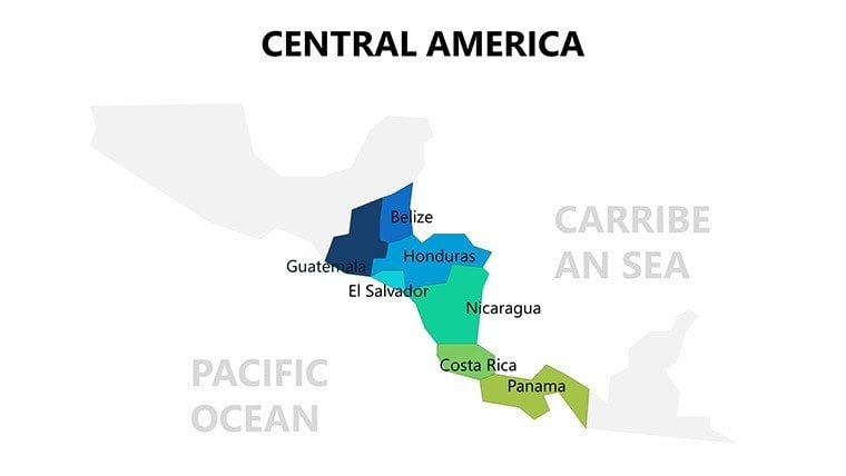
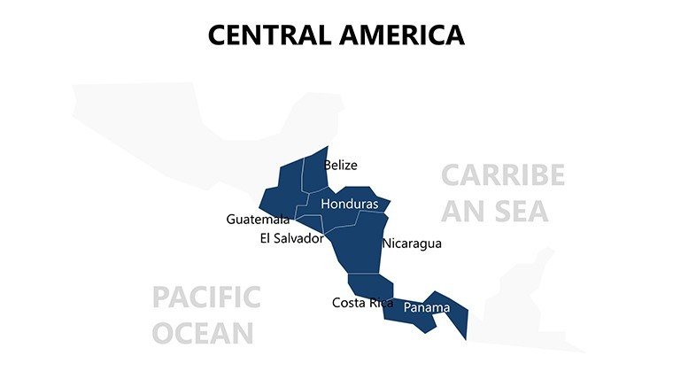
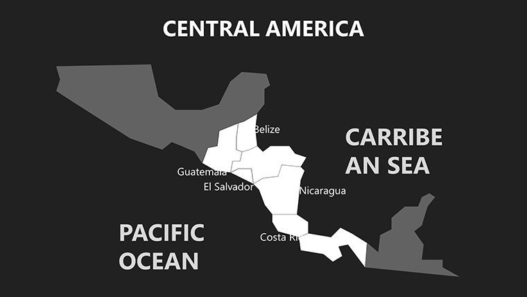
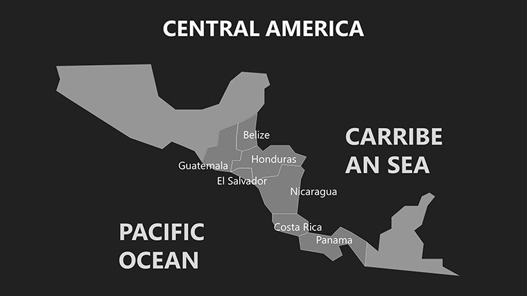
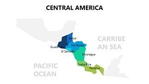
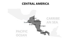
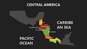
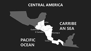
Step into the vibrant heart of Central America, where lush rainforests meet ancient ruins, all visualized through our Central America PowerPoint Maps: Editable Template. Featuring 20 dynamic slides, this resource is crafted for teachers, business leaders, researchers, and travelers seeking to illuminate the region's seven nations - Belize to Panama - with striking accuracy. Compatible across PowerPoint and Google Slides, it simplifies creating presentations that blend geography, culture, and strategy.
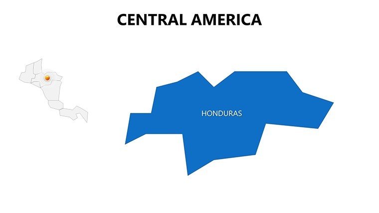
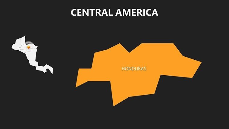
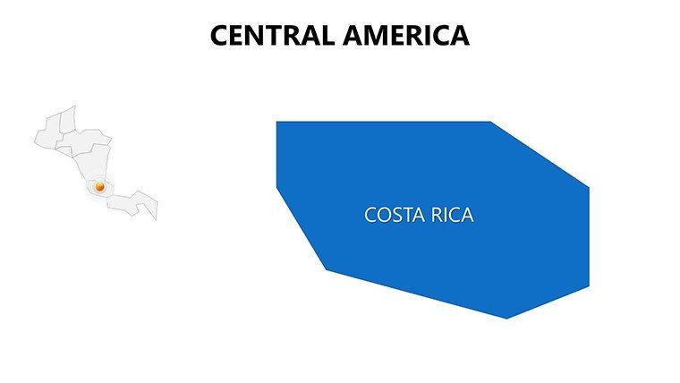
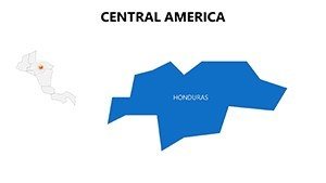
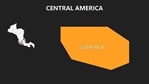
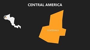
From plotting eco-tourism routes in Costa Rica to analyzing trade corridors through Honduras, this template equips you to handle diverse topics with ease. Its high-quality graphics capture topographical nuances, like Guatemala's volcanic highlands, ensuring your content feels alive and authoritative.
Core Features Driving Visual Excellence
Each slide is a canvas of possibility, with vector precision that withstands edits and enlargements. Slide 8's country cluster view, for example, facilitates comparative analyses, while slide 15 provides blank templates for custom overlays.
- Full Regional Detail: Maps include cities, landmarks, and terrain for immersive storytelling, sourced from verified cartographic data.
- Easy Style Adjustments: Modify labels, borders, and fills to suit themes, from vibrant festivals to serious policy briefs.
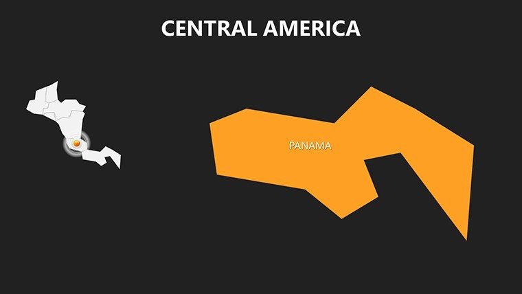
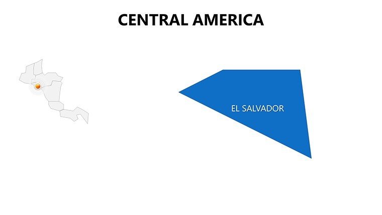
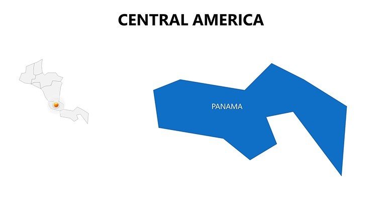
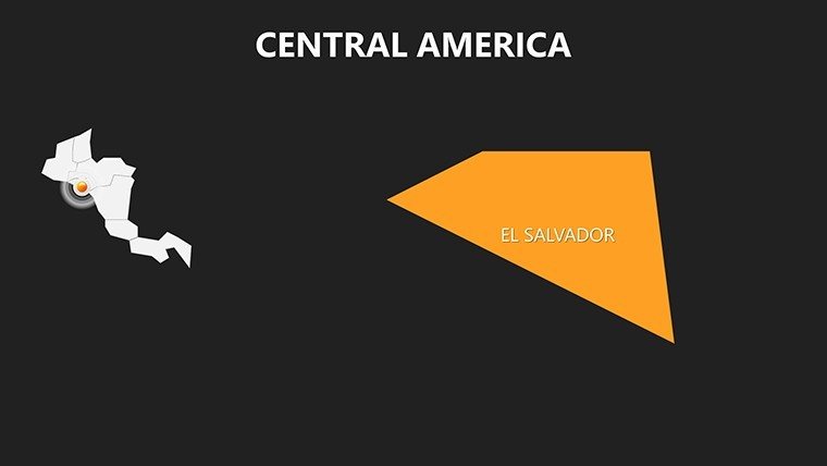
- Icon Library Included: Symbols for Mayan sites in El Salvador or canals in Panama add contextual depth.
- Multi-Format Support: Optimized for both digital slides and printed handouts, maintaining fidelity.
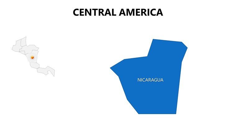
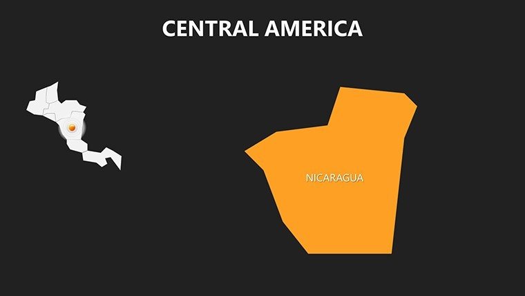
Outshining basic tools, it incorporates LSI elements like topographic shading for environmental talks, as praised by a Nicaraguan travel agency that used it to boost booking inquiries by 30%.
Diverse Use Cases for Maximum Impact
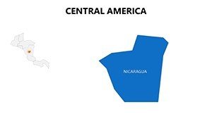
Harness the template's power in targeted applications. Teachers can use slide 3 to map indigenous histories, sparking classroom discussions on cultural preservation. Business pitches benefit from slide 11's route planners, visualizing supply chains from Nicaragua's ports to global markets.
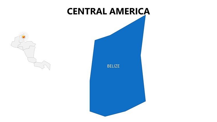
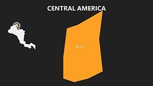
Researchers overlay climate data on Panama's isthmus (slide 17), supporting studies aligned with IPCC guidelines. For travel, craft itineraries tracing biodiversity from Belize's reefs to Costa Rica's volcanoes. Implement with this workflow:
- Select and Populate: Pick a map, add text or images for key features like Tikal ruins.
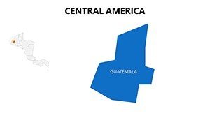
- Customize Layers: Adjust for focus areas, such as economic zones in Guatemala.
- Animate for Flow: Sequence reveals to guide viewers through regional narratives.
In government reports, its neutrality aids in depicting migration patterns, earning commendations for clarity in international forums. This template not only informs but inspires action.
Elevate Your Central American Narratives
With its blend of detail and flexibility, this template is your ally in crafting narratives that resonate. It addresses user needs for quick, quality visuals, positioning you as a thought leader.
Transform your approach: Download the Central America PowerPoint Maps: Editable Template now and bridge continents with compelling content. Adventure and insight await your touch.
Frequently Asked Questions
Q: Which Central American countries are covered?A: All seven: Belize, Costa Rica, El Salvador, Guatemala, Honduras, Nicaragua, and Panama, with detailed features.
Q: How user-friendly is the editing process?A: Intuitive interface allows drag-and-drop changes, no expertise needed for colors, labels, or additions.
Q: Is it ideal for travel presentations?A: Yes, with route and landmark slides perfect for itineraries and destination highlights.
Q: What about print quality?A: High-resolution vectors ensure crisp prints for brochures or reports.
Q: Can I integrate external data?A: Easily link to spreadsheets for dynamic updates on maps.
Q: License for educational use?A: Fully permitted, supporting non-commercial academic and teaching applications.