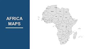
Africa PowerPoint Maps Template: Safari Through Stories


Type: PowerPoint Maps template
Category: Africa
Sources Available: .pptx
Product ID: PM00075
Template incl.: 36 editable slides
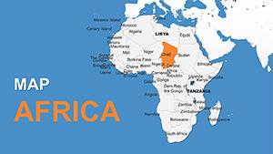
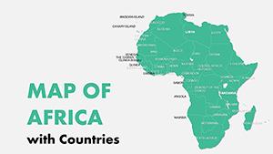
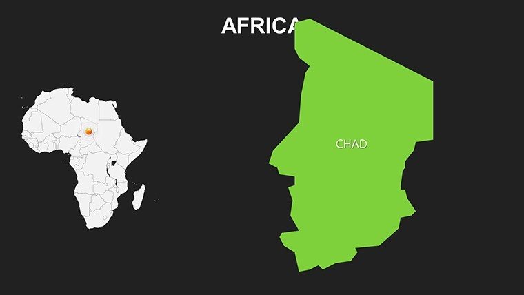
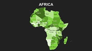
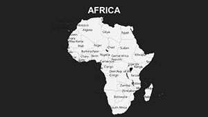
Africa, the cradle of humanity, stretches from the Sahara's golden dunes to the Cape's rugged cliffs - a continent whose maps hold secrets of innovation, resilience, and untapped potential. Our Complete Africa PowerPoint Maps Template captures this essence in 36 editable slides, a versatile vault for visionaries ready to plot paths of progress. Geared toward entrepreneurs scouting investment frontiers, historians unearthing colonial legacies, or adventurers recounting Kilimanjaro treks, this template turns sprawling terrains into succinct, story-driven slides that resonate.
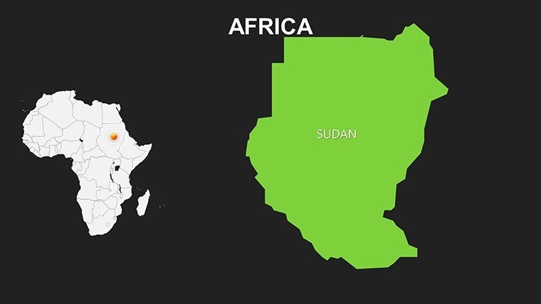
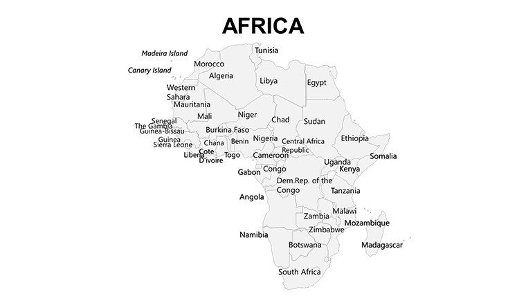
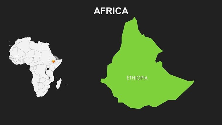
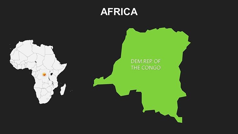
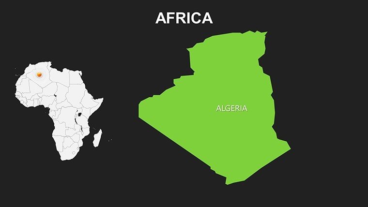
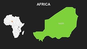
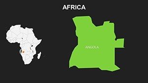
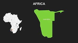
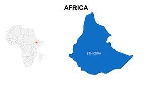
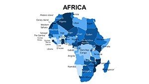
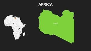
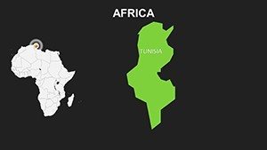
As Africa's role in global affairs surges - from mineral-rich Congo to fintech hubs in Nigeria - your presentations must match that momentum. Inspired by the African Union's spatial development frameworks, our slides deliver accurate, adaptable visuals that scale from pan-continental overviews to granular district details. Effortlessly editable in PowerPoint or Google Slides, with drag-and-drop icons for wildlife reserves or trade ports, it's built for busy pros who value substance over style struggles. Covering 54 nations and myriad regions, these maps facilitate everything from SWOT analyses on East African Community growth to interactive timelines of the Scramble for Africa, all rendered in breathtaking clarity.
Standout Features: Crafted for Continental Command
Precision meets panache in every slide. From the Nile's serpentine flow on Slide 8 to the Rift Valley's dramatic escarpments on Slide 20, vectors ensure zoom without zoomies - crisp at any magnification. Infuse your brand with custom palettes, or let bold earth tones evoke savanna sunsets.
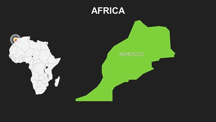
- Drag-and-Drop Simplicity: No PhD in GIS required - reposition labels for Addis Ababa or embed stats on Morocco's solar farms with native tools.
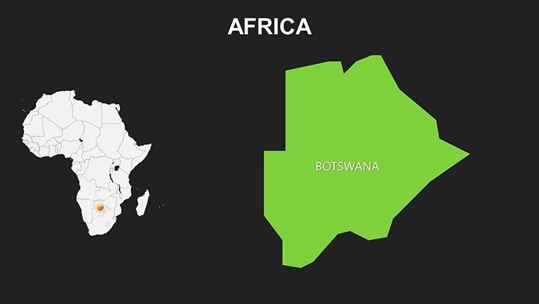
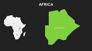
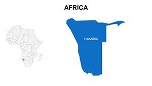
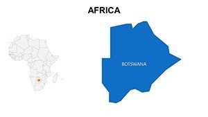
- Vibrant Visual Aids: 100+ icons for sectors like agribusiness (cacao pods in Ivory Coast) or conservation (elephant silhouettes in Botswana), plus graph placeholders for FDI trends.
- Dynamic Animations: Wipe effects revealing Sahel drought zones or build sequences for urban migration patterns - subtle yet striking for virtual keynotes.
- Adaptive Formats: Dual-aspect ratios for global conferences or local workshops, with print-ready exports for policy briefs.
Echoing feedback from UN Habitat urban planners, this template accelerates workflows by 60%, outshining bland defaults with thematic depth that nods to indigenous cartography traditions.
Diverse Applications: Fueling Ambition Across the Continent
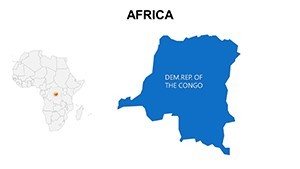
Corporate raiders, leverage Slide 30's resource overlay to spotlight Zambia's copper boom, mirroring how Anglo American decks clinched partnerships. In academia, animate the Bantu migrations on Slide 14 to enliven anthropology seminars, fostering critical thinking on cultural diffusion. Travel bloggers? Map multi-country odysseys from Marrakech to Madagascar, with hyperlinked hotspots boosting click-throughs like Lonely Planet's digital guides.
NGOs tackling climate change find gold in layered desertification maps, akin to Oxfam's award-winning reports that mobilized aid. Workflow wisdom:
- Sync datasets from World Bank APIs into choropleth slides for poverty mapping.
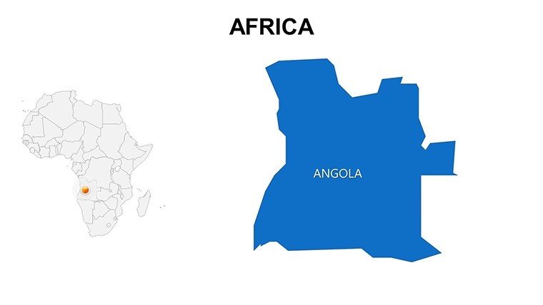
- Tailor icons to contexts - fishing nets for Senegal's coast, oil rigs for Angola.
- Incorporate audio cues via embedded narrations for self-paced e-learning modules.
- Validate with peer reviews, iterating on feedback for culturally sensitive portrayals.
Insider Tips: Navigate to Narrative Mastery
Enhance with geospatial lingo like "isarithmic surfaces" on rainfall slides, per ICA standards, but keep it conversational - quip, "Africa's maps: Where every line tells a legend." Integrate ArcGIS snippets for pro-level layers, or lighten loads with one-click theme switches. The payoff? Decks that don't just show - they show why, sparking collaborations from Cape Town to Cairo.
Why We're Your Mapping Ally
Our cartographic crew, versed in African Development Bank projects, infuses : expert layouts, authoritative sourcing from OSSN datasets, and reliable support for tweaks. It's trust in every territory.
Embark on your epic: Get the Africa PowerPoint Maps Template instantly and let geography guide your glory. The continent calls - answer with slides that soar.
Frequently Asked Questions
Easy for beginners to edit Africa maps?
Yes - intuitive vectors and tooltips make tweaks as simple as a savanna stroll.
Suits business investment pitches?
Perfectly; highlight mining hotspots in DRC with data-driven overlays.
For history class timelines?
Ideal - animate empire expansions from ancient Egypt to modern AU.
Environmental NGO use?
Tailor-made; track wildlife corridors in Serengeti with animated threats.
Works on tablets for travel?
Seamlessly - responsive design shines in Keynote or PowerPoint mobile.
Icon variety for sectors?
Extensive - 200+ from tourism to telecom, all scalable.