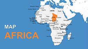
Africa PowerPoint Maps Template: Customizable & Pro


Type: PowerPoint Maps template
Category: Africa
Sources Available: .pptx
Product ID: PM00053
Template incl.: 42 editable slides
Envision a vast canvas unfolding across your screen, where the Nile's serpentine path meets the Sahara's endless dunes, all rendered in crisp, editable glory. Our Africa PowerPoint Maps template isn't just 42 slides of geography - it's a gateway to unlocking the continent's complexities for savvy presenters. Tailored for analysts dissecting pan-African supply chains, historians recounting the Scramble for Africa, or NGOs advocating for sustainable development, this resource transforms static facts into flowing sagas that resonate.
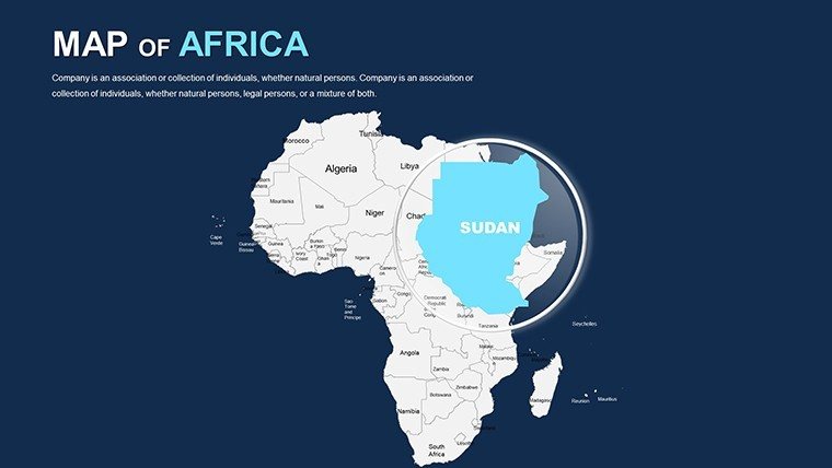
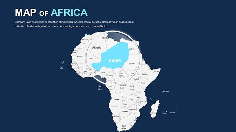
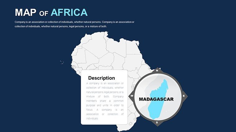
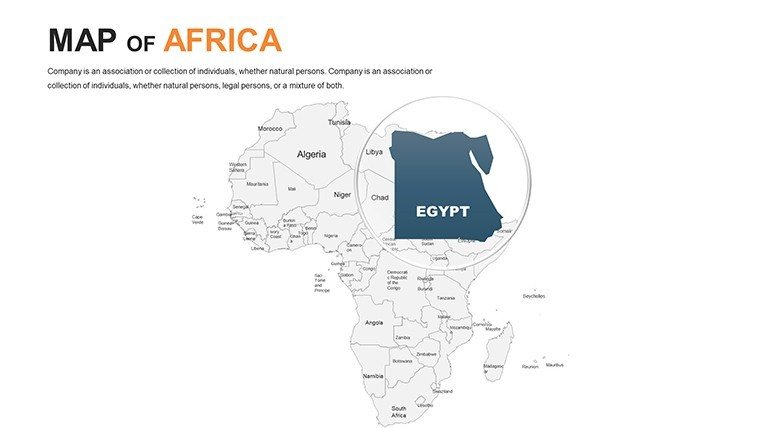
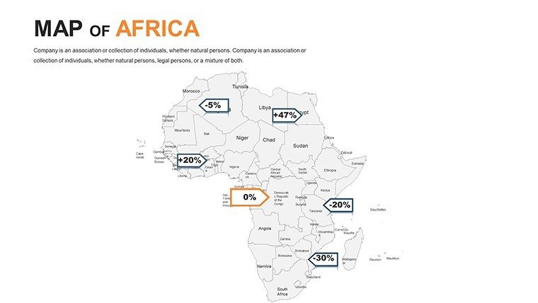
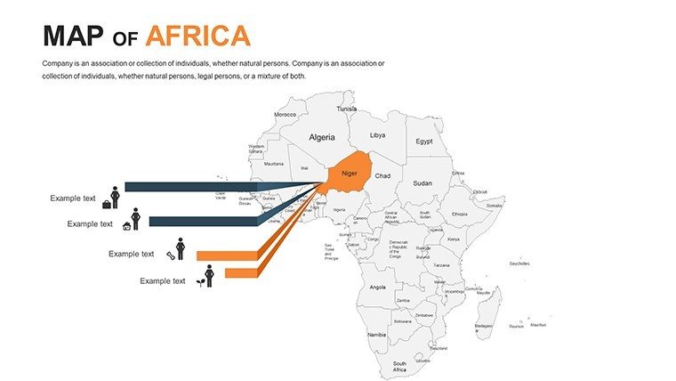
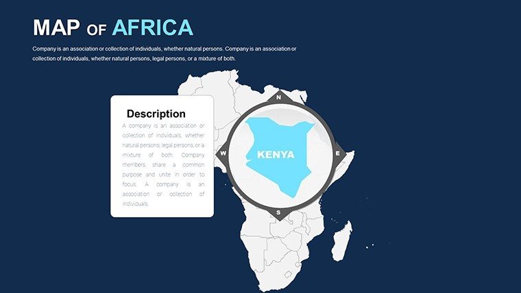
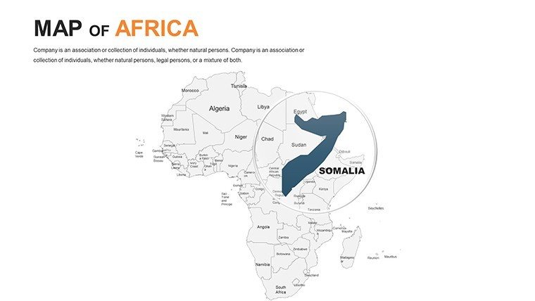
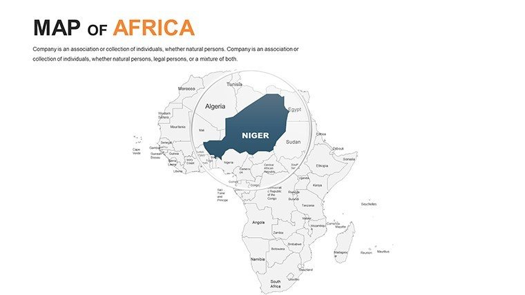
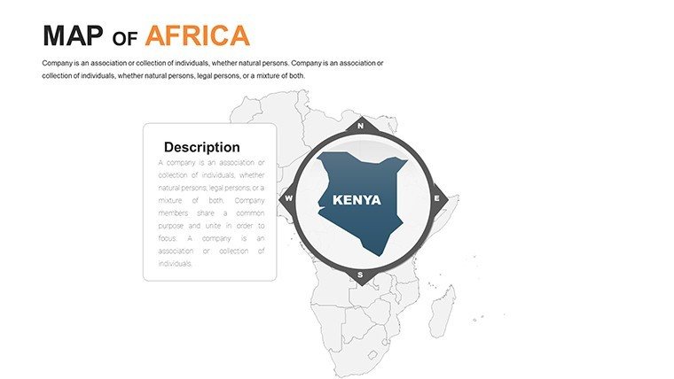
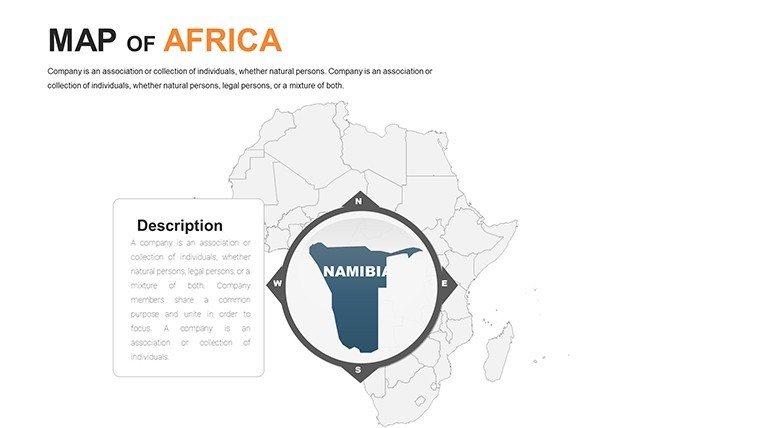
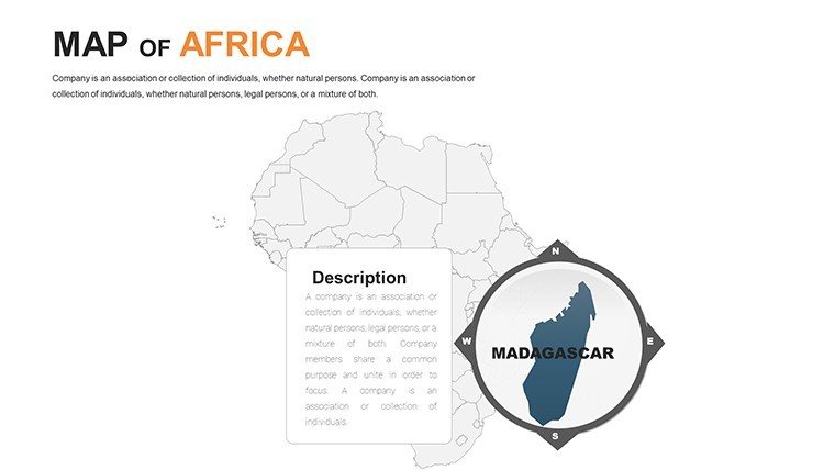
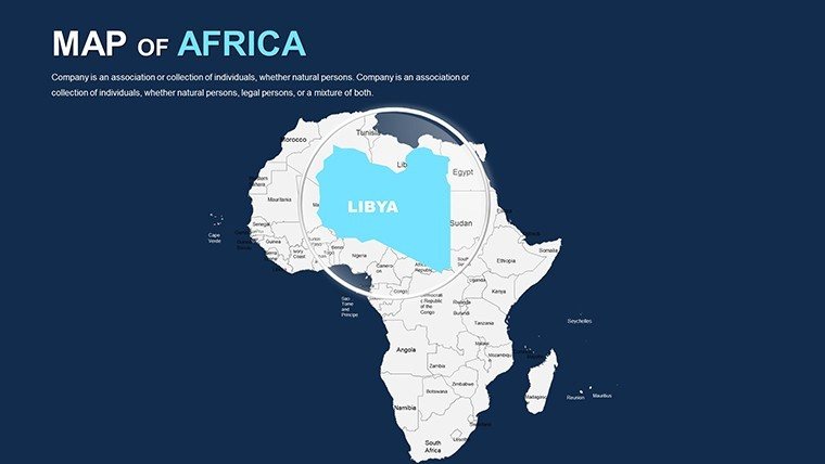
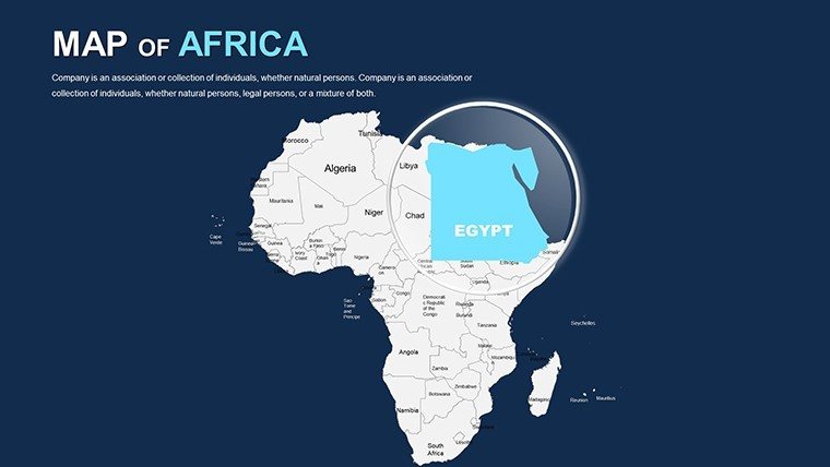
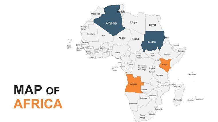
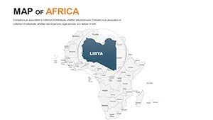
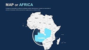
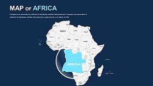
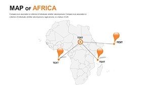
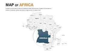
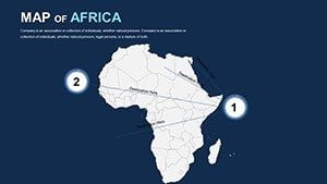
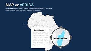
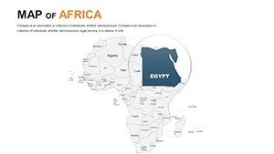
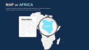
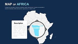
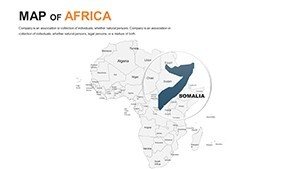
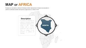
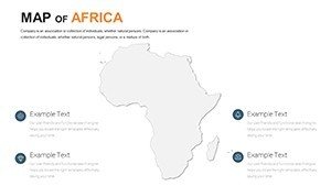
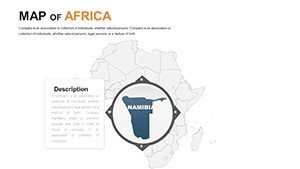
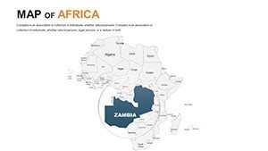
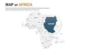
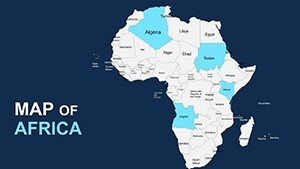
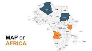
At its heart lies unparalleled adaptability: High-fidelity outlines of all 54 nations, from Morocco's Atlas peaks to Madagascar's unique biomes, all vectorized for distortion-free tweaks. PowerPoint-native (.pptx) with Google Slides harmony, it slots into your workflow like a well-oiled gear. Enrich a continental overview with heat maps showing urbanization rates, or dissect West Africa's cocoa belts via interconnected flow diagrams. Inspired by UNESCO's cultural mapping initiatives, these slides empower you to layer narratives that inform and inspire, whether projecting in a Geneva conference hall or a local classroom.
Crafting Continent-Spanning Stories with Ease
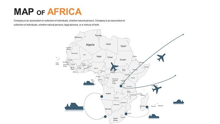
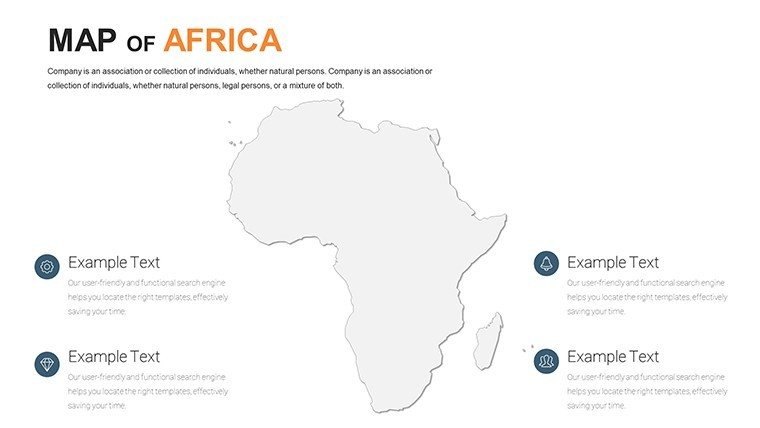
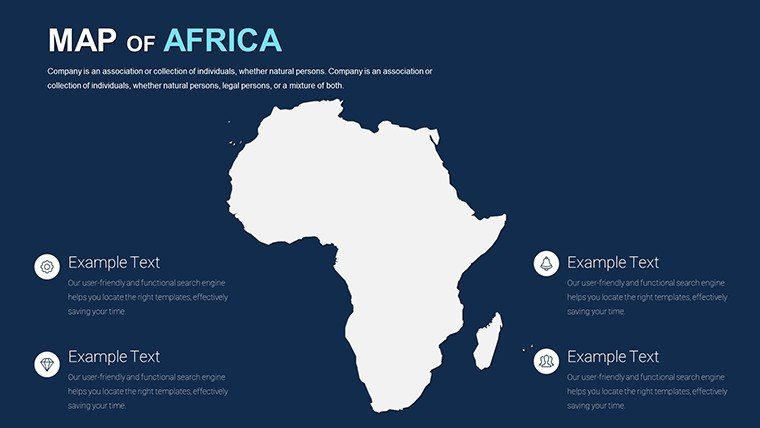
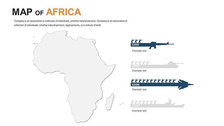
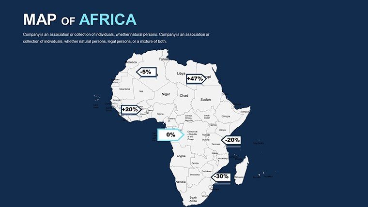
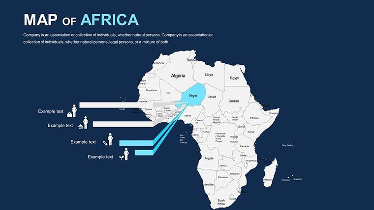
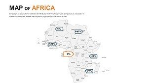
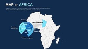
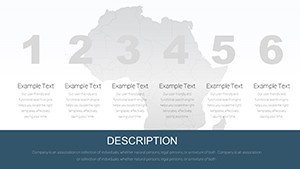
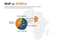
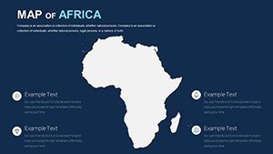
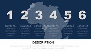
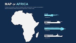
The magic unfolds in the details - eight core map variants, spanning political divisions, relief shading, and resource overlays, each primed for your data infusion. Swap default earth tones for vibrant accents reflecting ethnic tapestries, or excise irrelevant territories to zoom on the Horn of Africa. With over 150 bespoke icons - from ancient obelisks to solar farms - your deck gains authenticity that free tools can't touch.
- Seamless Scalability: Vectors that zoom without fuzz, suiting everything from mobile reviews to large-format prints.
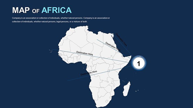
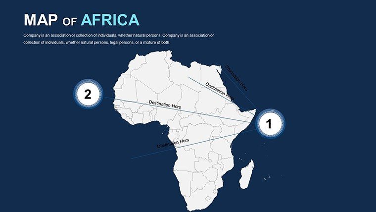
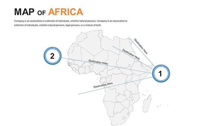
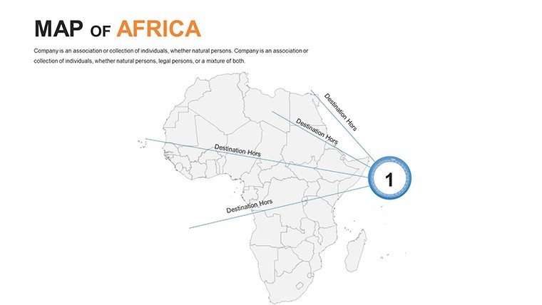
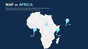
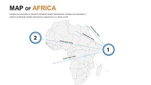
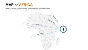
- Dynamic Linking: Hyperlinked legends that drill down from overview to country spotlights, streamlining navigation.
- Theme Consistency: Auto-adjusting schemes that sync with your master slide for cohesive branding.
Customization demystified: Launch the file, navigate to the "Africa Biodiversity Hotspots" slide, recolor via eyedropper for thematic punch, then drag in line charts tracing elephant migrations. For teams, version control shines in shared drives. Echoing strategies from the African Union's Agenda 2063 visualizations, this template has fueled reports that sway policymakers, turning abstract metrics into actionable maps.
Tailored Scenarios: Ignite Impact Across Fields
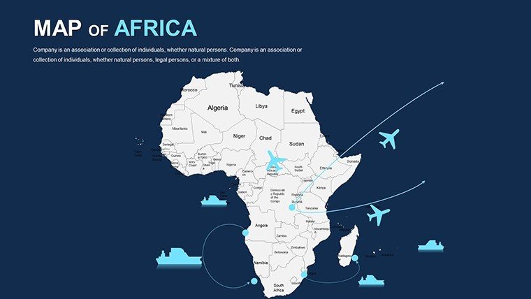
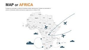
Business strategists, map East African trade blocs with gradient fills denoting GDP flows, animating routes to forecast Belt and Road influences. In academia, educators animate the Bantu expansions across blank-slate timelines, embedding audio clips for oral histories. Researchers at outfits like the IPCC have analogs here, using similar layers to chart climate vulnerabilities from the Congo Basin to Ethiopian highlands.
Spotlight a real pivot: A Nairobi startup used these maps for a VC pitch on fintech penetration, shading mobile money adoption rates over urban grids - securing $2M in funding through visual clarity. Travel curators craft itineraries tracing spice routes, popping in user-generated photos via hyperlinks. These applications aren't one-offs; they're blueprints for engagement, rooted in Geographic Information System best practices.
Superiority Over Standard Mapping Hacks
Ditch the hassle of screenshotting Google Earth - our pro-grade assets load swiftly and edit intuitively, sans compatibility woes. Alignment aids and preset grids banish crooked labels, while embedded metadata tags boost SEO for shared decks. Accessibility? Built-in contrast checkers ensure WCAG compliance, broadening reach.
Pro hack: Sync with Tableau exports for live data refreshes, or script simple VBA for auto-updates. It's the edge that pros at National Geographic swear by for rapid prototyping.
Insider Hacks for Map Mastery
- Prioritize Hierarchy: Anchor with bold outlines, layer subtleties like rivers in lighter strokes.
- Leverage Legends: Make them interactive - clickable to filter views on the fly.
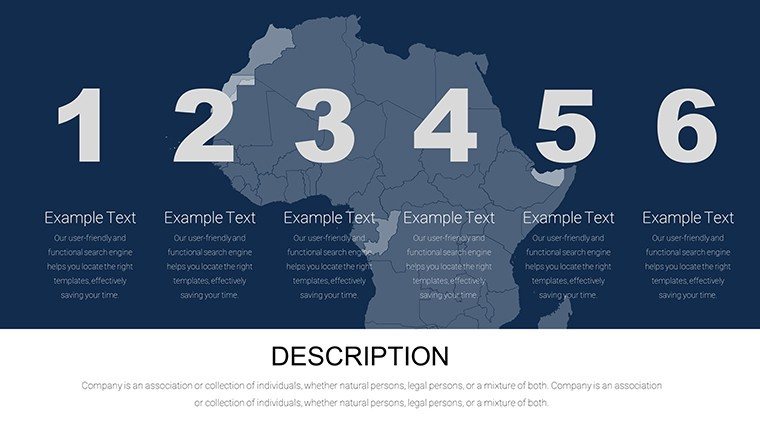
- Balance Density: Cap annotations at five per slide; use pop-ups for depth.
- Infuse Interactivity: Add triggers for phased reveals, like unveiling conflict zones sequentially.
Seize the narrative - secure your Africa PowerPoint Maps template today and let the continent's pulse propel your message forward. From boardrooms to beyond, these visuals will redefine how you connect.
Frequently Asked Questions
Are the maps resolution-independent?
Yes, all elements are vector-based, ensuring crystal-clear rendering at any scale or DPI.
Can I add my own data sources?
Effortlessly - import CSV-linked charts or embed APIs for real-time updates like weather overlays.
What's included for educational use?
Bonus worksheets and quiz templates integrated into slides for interactive learning modules.
Does it support multiple languages?
Labels are fully editable, supporting Unicode for Swahili, Arabic, and more.
How does it handle large datasets?
Optimized grouping keeps performance snappy, even with 1,000+ data points visualized.
Is there a mobile preview option?
Export to PDF or use PowerPoint's mobile app for on-the-go edits and reviews.