Europe Map PowerPoint Template for Regional Insights


Type: PowerPoint Maps template
Category: Europe
Sources Available: .pptx
Product ID: PM00030
Template incl.: 37 editable slides
Europe's diverse landscapes and economies demand visuals that capture nuance and detail. Our Europe Map PowerPoint Template delivers just that with 45 meticulously crafted slides, perfect for professionals navigating regional data. Whether you're an economist forecasting EU trends or a tour operator outlining itineraries, this template simplifies complex information into compelling stories. Fully editable and compatible with PowerPoint and Google Slides, it lets you highlight everything from political divisions to cultural hotspots. Envision customizing a slide to show Brexit impacts on trade flows or mapping Renaissance art routes - all designed to engage your audience and drive home your points effectively.
Delve into European Details with Ease
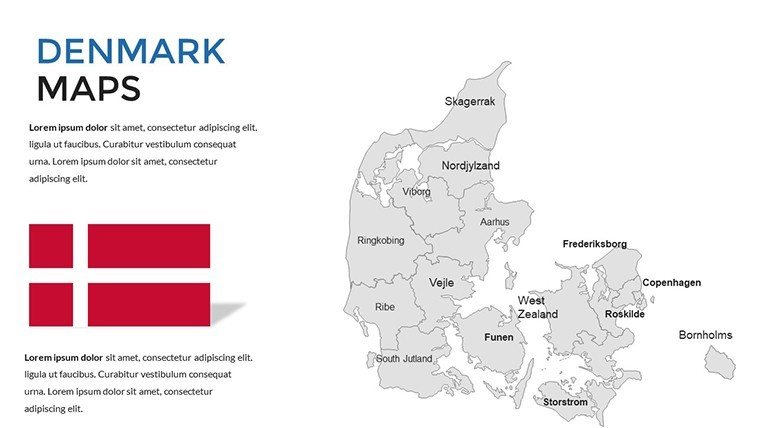
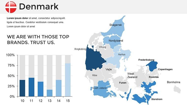
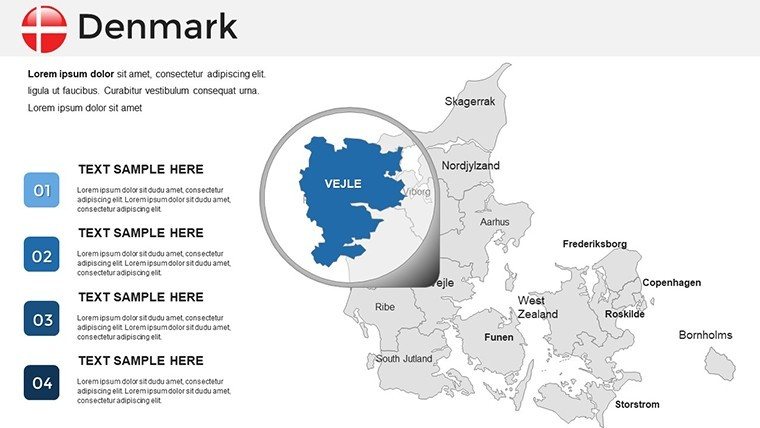
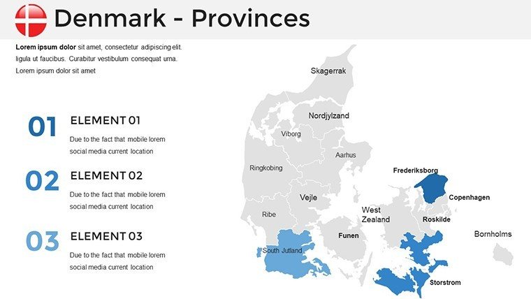
This template goes beyond basic outlines, offering layered maps that include countries, capitals, rivers, and mountain ranges. For business users, integrate sales data by region, using color coding to denote performance levels across the continent. Educators can animate historical events, like the spread of the Roman Empire, bringing lessons to life. The design draws from cartographic best practices, ensuring accuracy and aesthetic appeal. With options for both flat and 3D styles, you can choose the look that best suits your presentation's tone, from formal boardroom discussions to creative workshops.
Standout Features for Enhanced Productivity
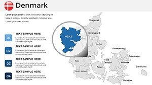
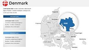
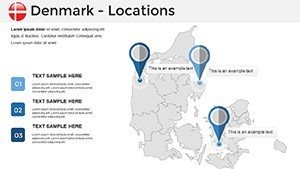
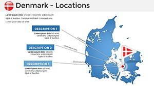
- Customizable Maps: Adjust borders, add pins, or modify scales to fit your narrative.
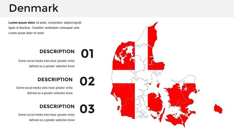
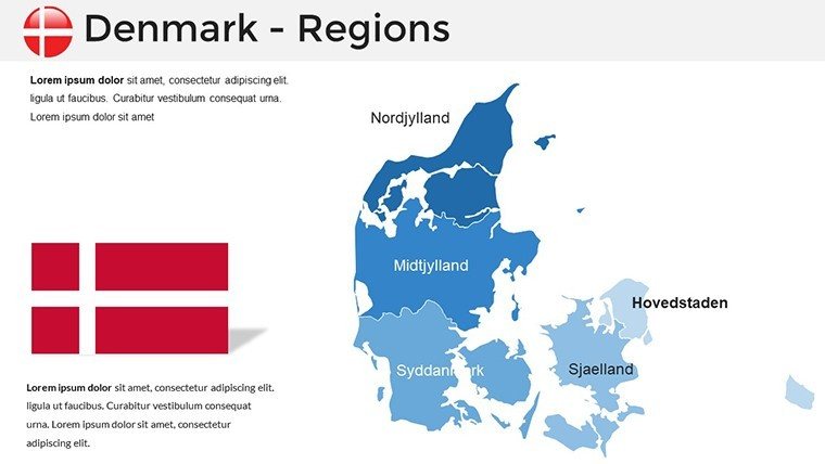
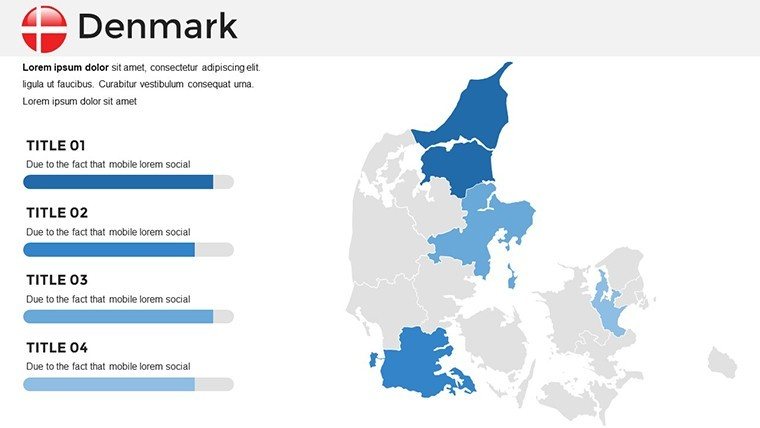
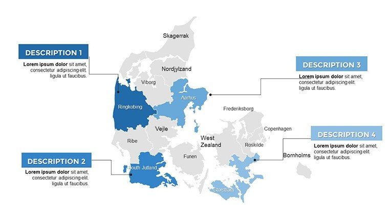
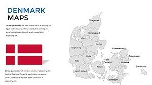
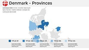
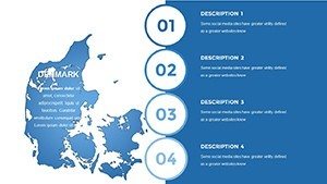
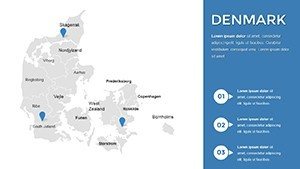
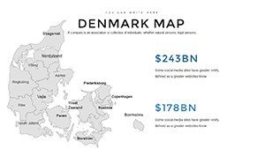
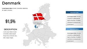
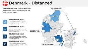
- 45 Specialized Slides: Covering Western, Eastern, Northern, and Southern Europe in depth.
- Vector Quality: Scalable graphics that remain sharp in any size.
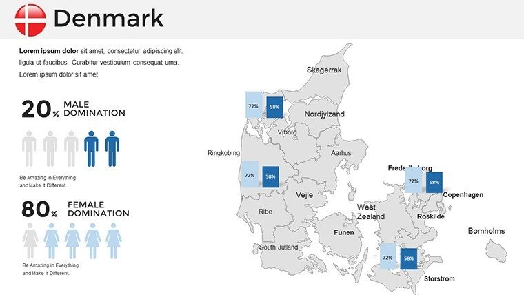
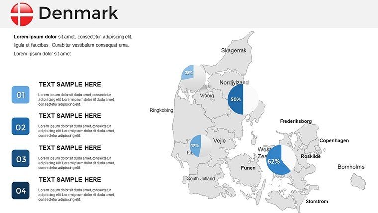
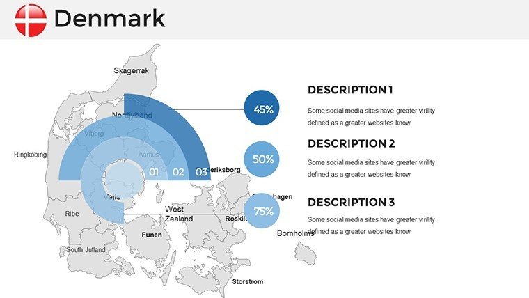
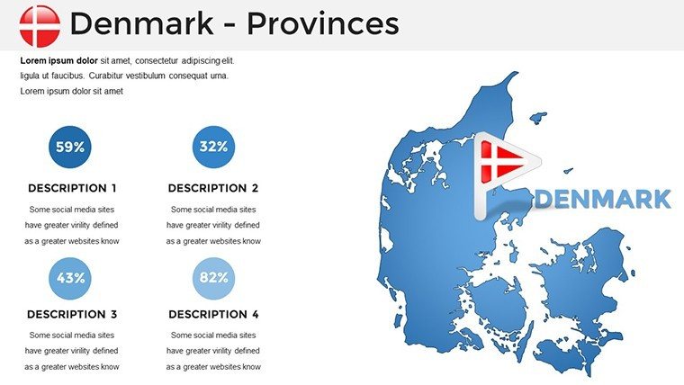
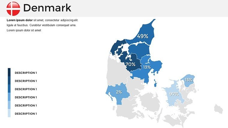
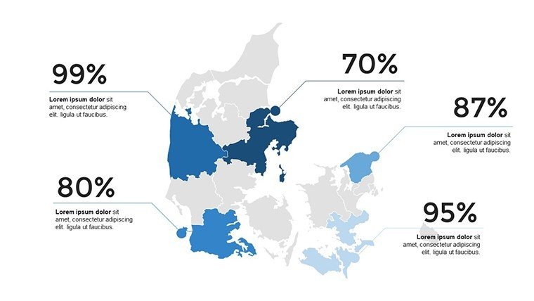
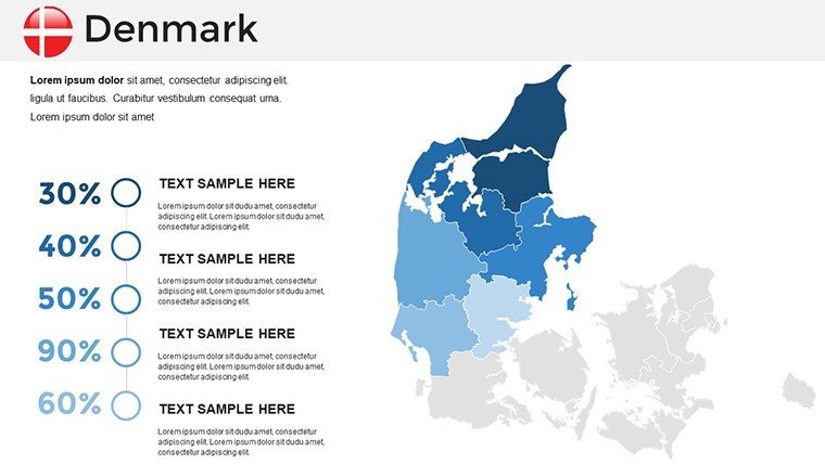
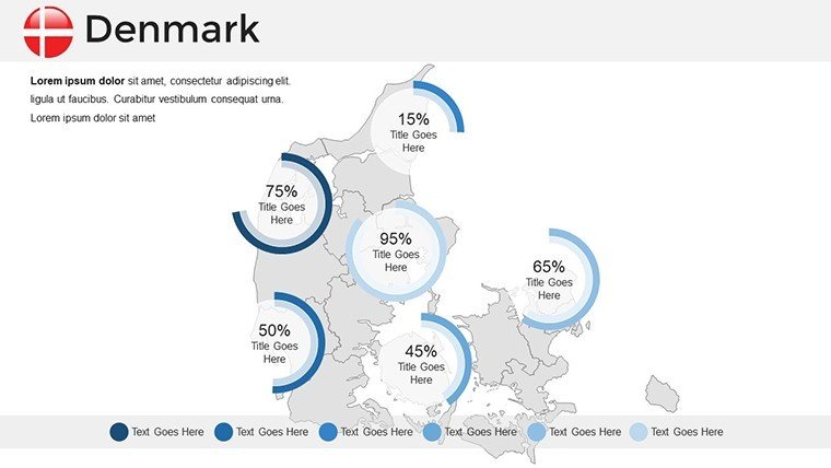
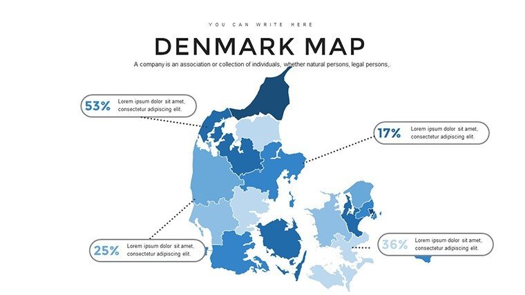
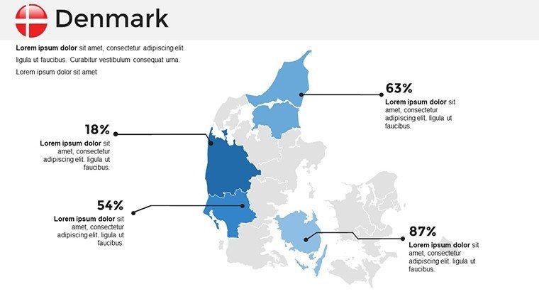
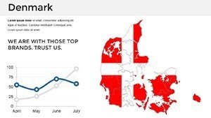
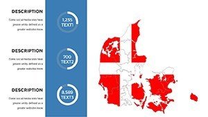
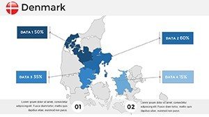
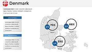
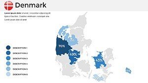
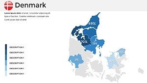
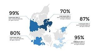
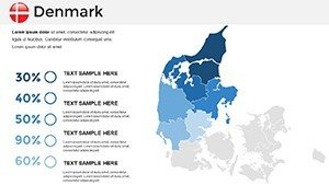
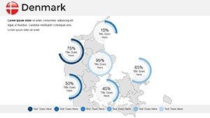
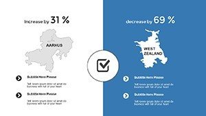
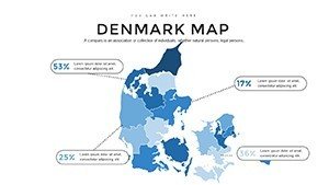
- Infographic Integration: Embed pie charts or bar graphs directly on maps for data-rich visuals.
- Multi-Device Support: Seamless use in PowerPoint, Google Slides, and online platforms.
Inspired by authoritative sources like Eurostat for data visualization, this template promotes clarity and avoids misinformation through precise labeling.
Practical Use Cases Across Industries
In practice, a logistics company might use it to optimize delivery routes across the Schengen Area, reducing costs by visualizing bottlenecks. History buffs in academia have praised similar tools for mapping World War II battles, enhancing student comprehension. For marketing, a fashion brand could showcase store locations in major cities like Paris and Milan, correlating with consumer trends. These scenarios highlight how the template bridges data and decision-making, fostering better outcomes in varied fields.
Customization Workflow: From Blank to Brilliant
- Launch the file in your preferred software.
- Pick a regional map slide and edit fill colors for emphasis.
- Insert custom icons or text for annotations.
- Link to external data sources if needed for live updates.
- Apply transitions to reveal information progressively.
- Export for distribution or printing.
For teams, this process encourages collaboration, with version control in Google Slides preventing overwrites.
Superior to Default PowerPoint Maps
Unlike generic inserts, our template provides pre-populated details like EU member states, saving research time. Themed palettes - think Mediterranean blues or Alpine greens - add thematic depth, making your slides memorable. It's like having a personal cartographer, streamlining what could be a tedious task into an enjoyable one.
Pro Tips for Maximum Impact
Combine with tools like Canva for additional graphics if desired. Use alt text for accessibility, describing maps for screen readers. Test on different devices to ensure consistency. Draw from real-world examples, such as how the EU uses maps for policy briefs, to inform your designs. Keep updates regular by revisiting slides with new data from sources like the European Central Bank.
Further applications include tourism, where agencies map festival circuits, or in politics for election forecasting by district. A notable case: A think tank visualized migration patterns, influencing public discourse on integration policies.
Transform Your European Narratives Now
Step up your game with this Europe map template - where detail meets design for unbeatable presentations. Customize and conquer your next project today.
Frequently Asked Questions
- How detailed are the country borders? Highly accurate, based on current geopolitical data, with options to update.
- Is it compatible with older PowerPoint versions? Yes, works from PowerPoint 2010 onward.
- Can I add my own data? Easily, via Excel imports or manual entry.
- Are there language options? Maps are visual, but text can be translated as needed.
- What's the file size? Compact at around 5MB, quick to download.
- Do you offer support? Yes, email us for customization help.